The best road cycling routes around Fournaudin
5.0
(3)
66
riders
45
rides
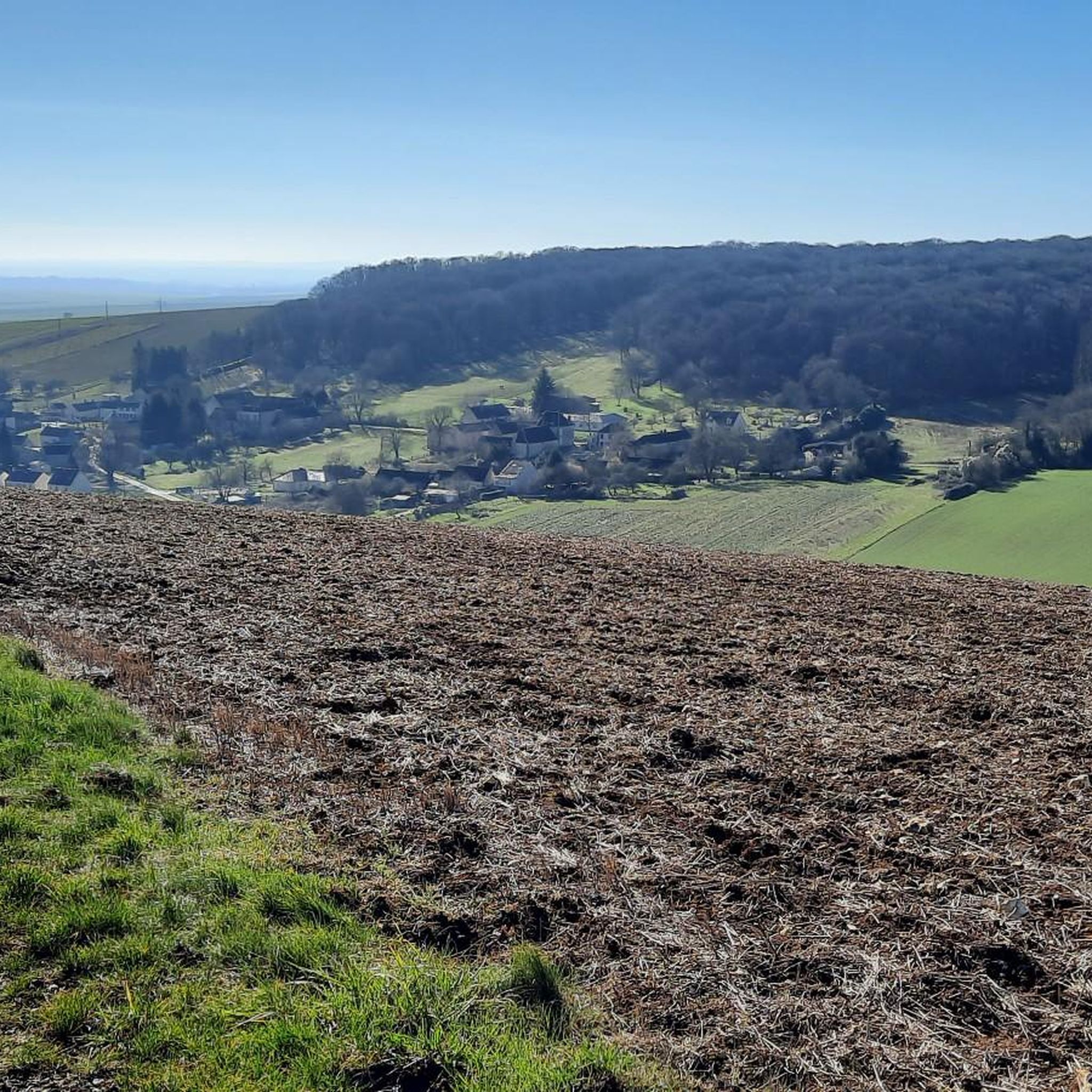
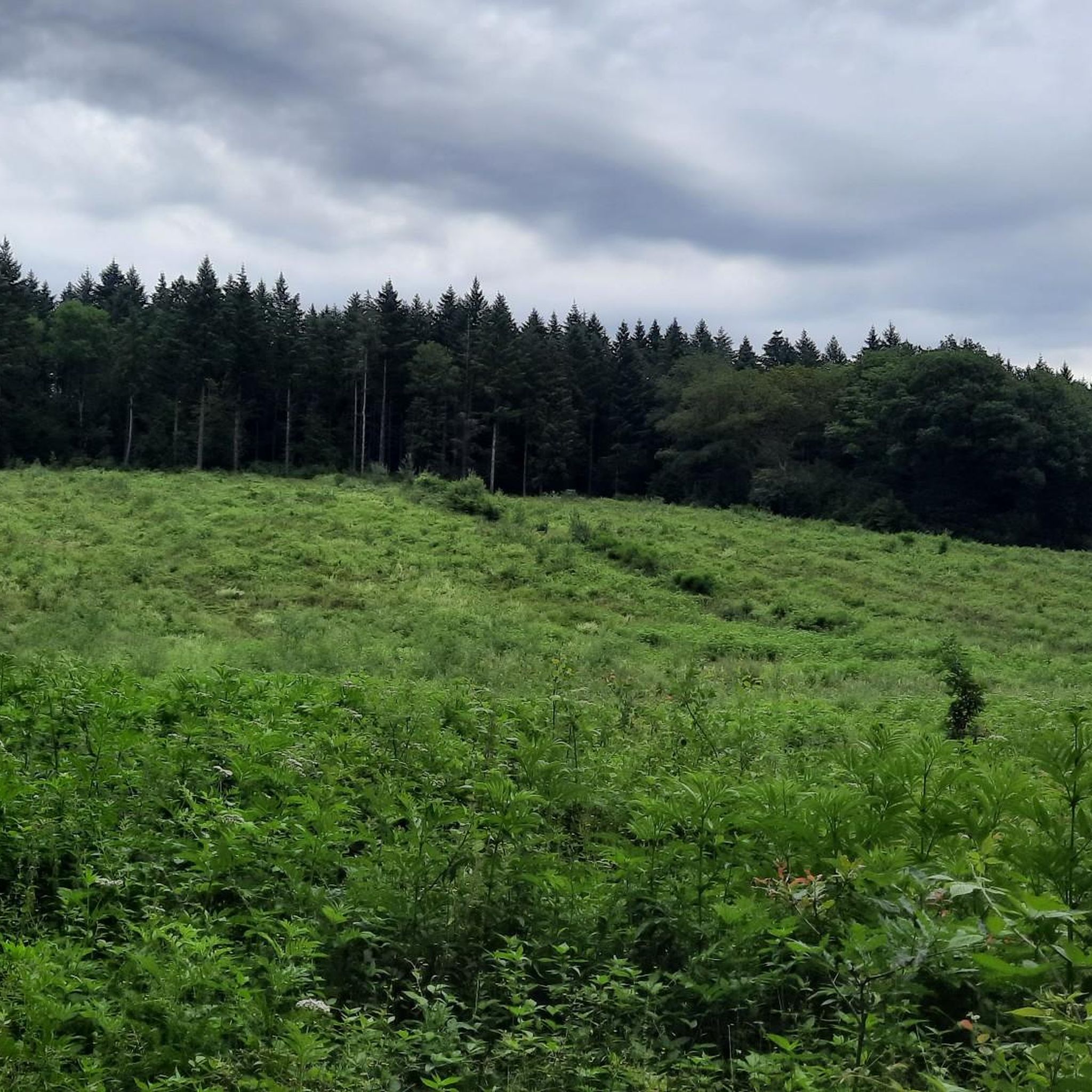
Road cycling around Fournaudin features a landscape characterized by rolling hills, agricultural fields, and interspersed woodlands. The region offers a network of paved roads suitable for various road cycling experiences. Elevation gains are generally moderate, providing a mix of gentle ascents and descents.
Best road cycling routes around Fournaudin
- The most popular road cycling route is Church loop from Aix-Villemaur-Pâlis, a 23.7 miles (38.2 km) trail that takes 1 hour 40 minutes to complete. This route offers an easy…
Last updated: July 5, 2026
13
riders
52.8km
02:22
520m
510m
Moderate road ride. Good fitness required. Mostly well-paved surfaces and easy to ride.
4
riders
59.1km
02:48
640m
640m
Moderate road ride. Good fitness required. Mostly well-paved surfaces and easy to ride.

Sign up for free
3
riders
51.7km
02:20
470m
470m
Moderate road ride. Good fitness required. Mostly well-paved surfaces and easy to ride.
2
riders
76.3km
03:31
820m
820m
Moderate road ride. Good fitness required. Mostly well-paved surfaces and easy to ride.
5.0
(1)
3
riders
25.1km
01:08
250m
250m
Easy road ride. Great for any fitness level. Mostly well-paved surfaces and easy to ride.
Get access to more routes and recommendations from other explorers.
Sign up for free
Already have an account?
Our route recommendations are based on thousands of hikes, rides, and runs completed by other people on komoot.
Start today with a free account
Your next adventure awaits.
Login or Signup
Popular around Fournaudin

Tips from the Community

Beautiful church in the village of Dixant, dating from the 9th century. Two additional bays were built in the 13th century with heads of figures on the capitals.
0
0

This church was built in the 19th century and combines brick and stone in a Gothic style. It has a high bell tower-porch that can be seen from afar. The church is located in the heart of the Pays d'Othe, a rural region with forests and fields. You can enjoy the natural landscapes and the tranquility of the village. The church is also near the Ancre River, where there is a renovated washhouse. You can also explore the neighboring hamlets of Bercenelle, Concise and Vallée.
3
0

Founded in 1209 on the edge of the forest of Othe by the Order of Gramont, a religious community which had an important influence in the region, this priory was ruined by the Hundred Years War, but rebuilt at the beginning of the 16th century. The order was abolished in 1772 and the building sold for its stones during the French Revolution. Of the priory, all that remains today is the arcature of the facade as well as the ruins of the chapel and the priory dwelling. In the 19th century, there were still ribbed vaults, but they collapsed. The apse which had walls rising up to 4 m also collapsed during the winter of 1996-1997. It is a private property open to the public only on certain occasions such as heritage days. Difficult to see anything other than the facade visible from the road. For other points of view, a short film is available here: https://www.dixmont-yonne.fr/decouvrir/videos/prieure-lenfourchure/
0
0
In the middle of the forest, you will find at this intersection a menhir 1.3 meters high with this plan.
2
0
This pierced stone is in fact a megalith in cliquart sandstone (variety of hard sandstone) with a height of around 1.40 m in square shape and which, according to recent archaeological expertise, dates from the Iron Age (around 700 years BC) . It is located at the crossroads of two very pleasant roads that cross the forest.
0
0
At the foot of a climb in the forest, here is a calm valley in the heart of which this monument was erected in memory of a group of resistance fighters who worked in the region. A few hundred meters away, the rock of the devil which is made up of a pile of rocks; the small road that leads to this rock ends in dirt roads. The water in the fountain is marked as non-potable. I haven't tried it, but it can at least be used to cool the face or body in case of hot weather.
0
0

Very nice view of Saint Florentin from the marina.
1
0

Saint Florentin is a pleasant little town that has been very well restored. The two fun and informative anecdotes to take away from the city are as follows: during the Revolution, Saint-Florentin was one of the most dynamic places of Theophilanthropy, a religion which succeeded the cult of reason and the supreme being between 1798 and 1801. During the convention, the anticlerical republicans renamed Saint-Florentin and called it Mont-Armance between 8 Germinal of Year Two (March 28, 1794) and 6 Ventôse of Year Three (February 24, 1795). The city is located on the edge of the Armance and the Burgundy Canal, but also the N77. Some ingenious minds wanted to take inspiration from the legendary American route 66 in the hope of attracting tourists, and now call it route 77.
2
0
Frequently Asked Questions
How many road cycling routes are available around Fournaudin?
There are over 40 road cycling routes documented on komoot around Fournaudin, offering a diverse range of experiences for all skill levels.
Are there any easy road cycling routes suitable for beginners in Fournaudin?
Yes, Fournaudin offers several easy routes perfect for beginners. For instance, the Church loop from Aix-Villemaur-Pâlis is an easy 23.7-mile (38.2 km) ride through the local countryside, ideal for a relaxed outing.
What kind of terrain can I expect on road cycling routes in Fournaudin?
The terrain around Fournaudin is characterized by rolling hills, extensive agricultural fields, and interspersed woodlands. You'll encounter a mix of gentle ascents and descents, providing varied but generally moderate elevation gains across paved roads.
Are there any challenging road cycling routes for experienced cyclists?
While many routes are moderate, some offer more significant elevation changes. The region's rolling hills provide opportunities for challenging climbs. For example, the Church – Nice ride through the forest loop from Chailley, at 36.8 miles (59.3 km), navigates through forested sections with notable elevation changes, making it a good option for those seeking a moderate challenge.
Are the road cycling routes in Fournaudin typically loop routes?
Many of the road cycling routes around Fournaudin are designed as convenient loops, allowing you to start and finish at the same point. Routes like the Saint-Florentin loop from Bœurs-en-Othe are excellent examples, offering varied terrain over 32.1 miles (51.7 km).
What is the best time of year for road cycling in Fournaudin?
The best time for road cycling in Fournaudin is typically from spring through early autumn (April to October). During these months, the weather is generally mild and pleasant, making for ideal riding conditions through the open fields and woodlands.
Are there scenic road cycling routes with viewpoints in Fournaudin?
The region's landscape of rolling hills and open fields naturally offers many scenic vistas. While specific named viewpoints might be rare, routes often provide panoramic views of the agricultural countryside and charming villages. The varied terrain ensures a picturesque ride throughout.
What do other road cyclists say about the routes in Fournaudin?
The road cycling routes in Fournaudin are highly regarded by the komoot community, boasting an average rating of 5.0 stars from over 2 reviews. Cyclists often praise the mix of open fields, wooded areas, and quiet village roads, appreciating the diverse and well-maintained network.
Are there any longer road cycling routes for endurance training?
Yes, for those looking for longer rides, Fournaudin offers routes that extend beyond 50 km. The Church – Nice ride through the forest loop from Chailley is nearly 60 km, providing a substantial distance for endurance cyclists.
Can I find routes that pass through forests or shaded areas?
Absolutely. Many routes incorporate sections through the region's woodlands, offering pleasant shade and a different riding experience. The Château de Cérilly – Forest Road loop from Aix-Villemaur-Pâlis is a good example, guiding you through forested paths.
Are there family-friendly road cycling options in Fournaudin?
For families, the easier and shorter loop routes are generally the most suitable. The relatively moderate elevation gains on many paths make them accessible. Look for routes marked as 'easy' on komoot, which often feature quieter roads and less demanding terrain.

Get inspired with the komoot mobile app


Explore more
Browse the best Road cycling routes in other regions.
