The best MTB trails around Armendarits
4.3
(67)
402
riders
52
rides
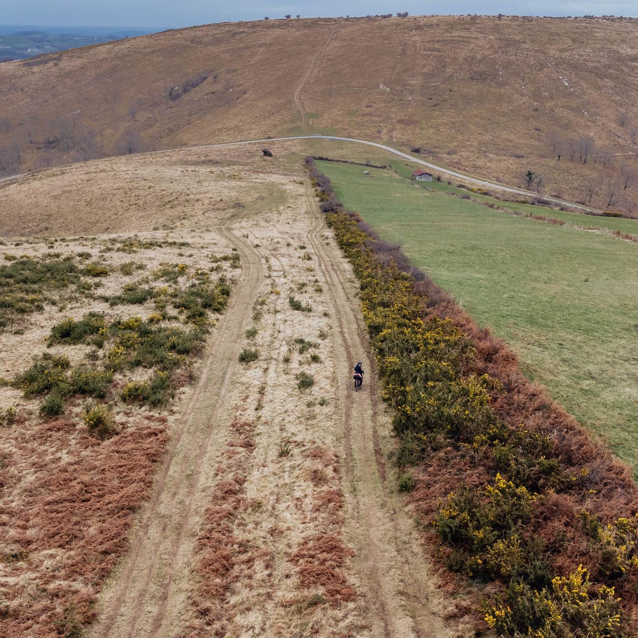
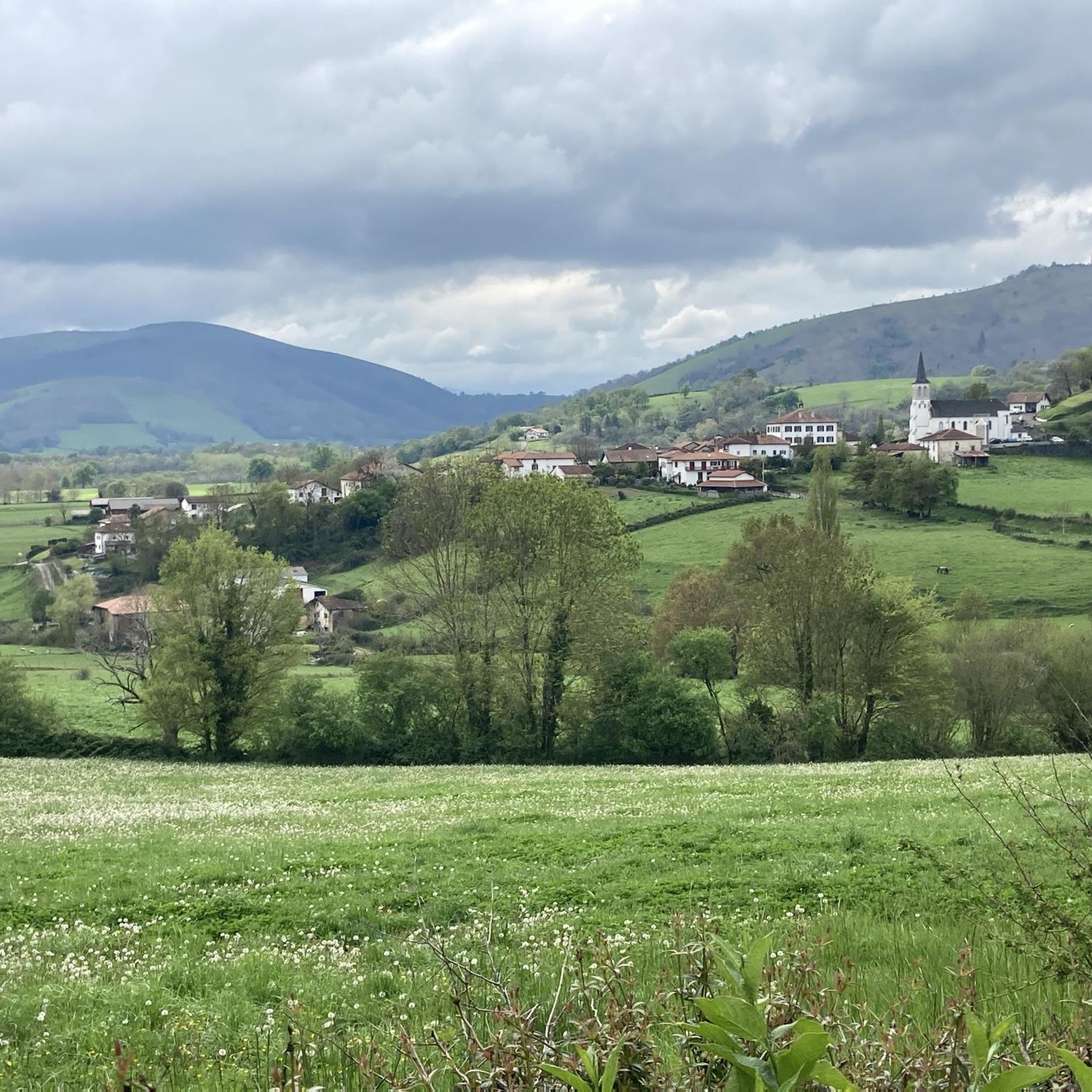
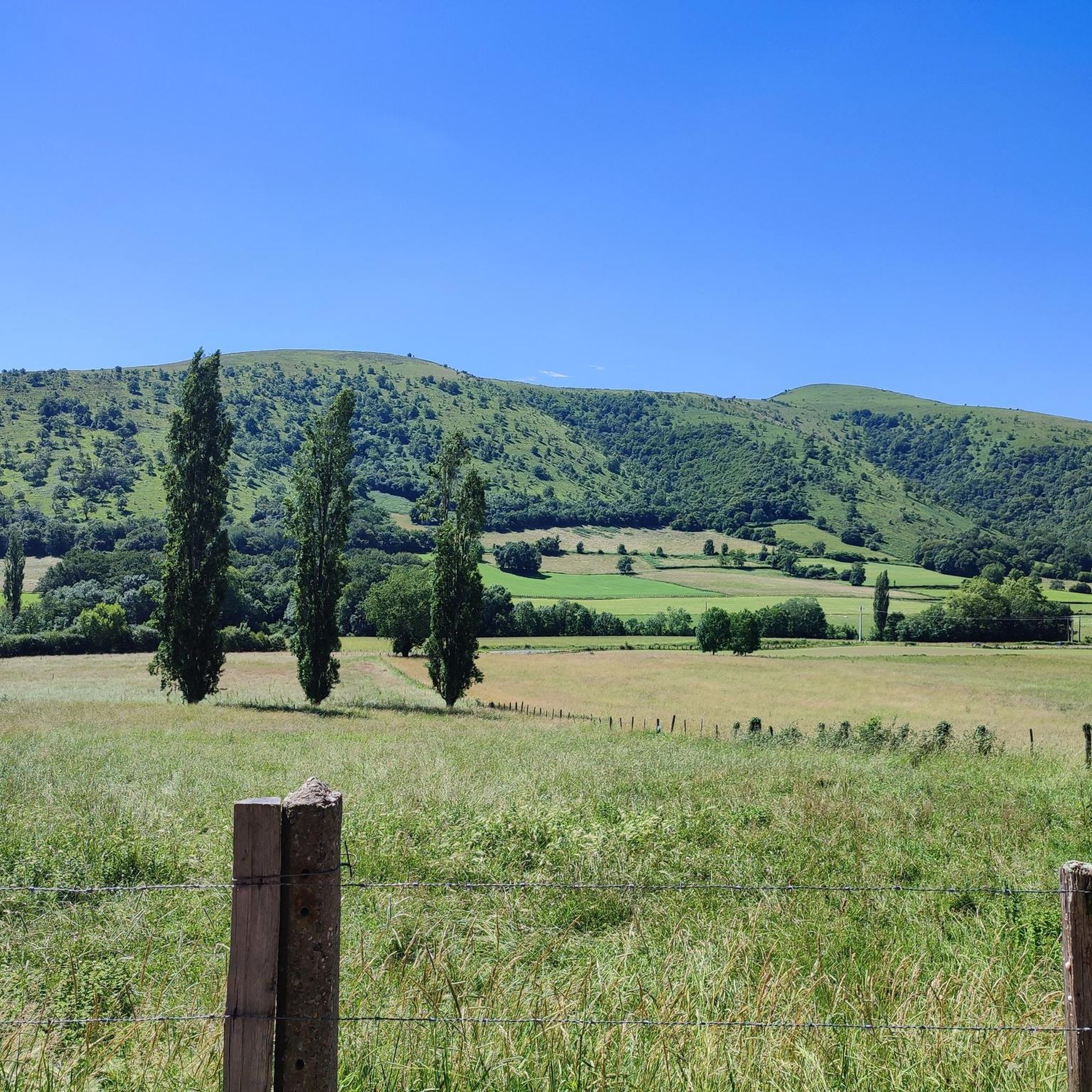
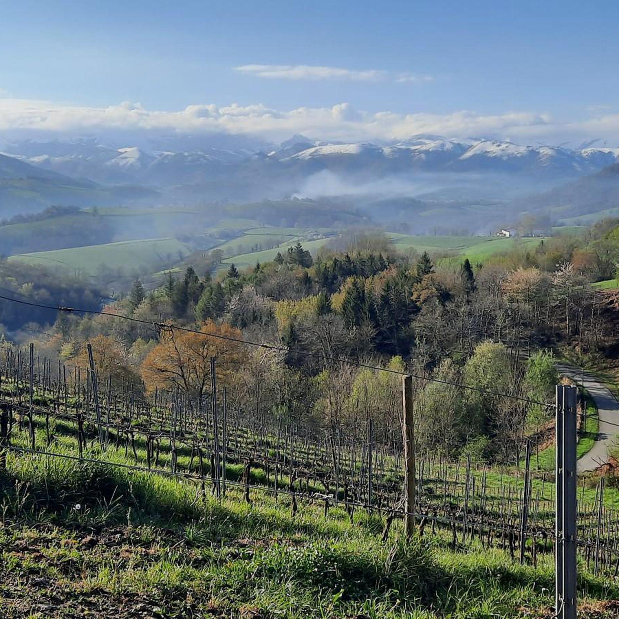
Mountain biking around Armendarits offers diverse landscapes within the Pyrénées-Atlantiques department of southwestern France. The region is characterized by rolling hills and varied terrain, with elevations ranging from 99 to 403 meters, providing natural inclines and descents. Several streams, including the Erreka Handia and Iharte, interlace the commune, contributing to lush valleys and a green environment. Its location in the foothills of the Pyrenees provides a rugged and picturesque backdrop for outdoor activities.
Best mountain bike trails in Armendarits
- The…
Last updated: October 7, 2026
3.5
(2)
3
riders
24.1km
02:17
620m
630m
Moderate mountain bike ride. Good fitness required. Advanced riding skills necessary.
4.7
(3)
14
riders
22.5km
02:20
690m
690m
Moderate mountain bike ride. Good fitness required. Suitable for all skill levels.

5.0
(1)
6
riders
109km
08:08
2,120m
2,120m
Hard mountain bike ride. Very good fitness required. Suitable for all skill levels.
5.0
(1)
15
riders
31.1km
03:25
970m
970m
Hard mountain bike ride. Very good fitness required. Advanced riding skills necessary. Some portions of the route may require you to push your bike.
3.0
(3)
5
riders
31.1km
03:26
1,140m
1,140m
Hard mountain bike ride. Very good fitness required. Suitable for all skill levels.
Get access to more routes and recommendations from other explorers.
Already have an account?
Our route recommendations are based on thousands of hikes, rides, and runs completed by other people on komoot.
Start today with a free account
Your next adventure awaits.
Tips from the Community

Immediately after passing the Sain Jaques city gate, the path leads downhill on this busy medieval street. The section of the Camino de Santiago, always bustling with numerous pilgrims, is lined with pilgrim hostels and massive sandstone houses with colorful doors and shutters.
1
0
Stone stele from 1964, marking the confluence of the routes from Tours and Vézelay (which merged in Saint-Palais) with the route from Le Puy. It is a disc-shaped stele on a round base. Xibaltarre, the Basque pronunciation of Gibraltar, is a place name indicating a place where gypsies from Andalusia camped. It could also be a variation of Salbatore, referring to the sanctuary of San Salvador.
2
0


beautiful view, there is water and, if necessary, a rainproof place (for a maximum of 2 people), it is on the Way of St. James and you often meet other hikers or cyclists
0
0


Magical place, one of my favorite French villages.
2
0

A great old fortress to explore with fabulous views towards the mountains.
2
0

Frequently Asked Questions
How many mountain bike trails are available around Armendarits?
There are 38 mountain bike trails around Armendarits. This includes 2 easy routes, 21 moderate routes, and 15 difficult routes, offering options for various skill levels.
What kind of terrain can I expect on mountain bike trails near Armendarits?
The terrain around Armendarits is characterized by rolling hills and varied landscapes, with elevations ranging from 99 to 403 meters. You'll find natural inclines and descents, lush valleys, and a backdrop of the Pyrenean foothills. The broader Basque Country is known for its steep and varied terrain, including open mountain top trails, loamy forest runs, and fast flowy ridge top traverses.
Are there any family-friendly mountain bike trails in the Armendarits area?
Yes, there are 2 easy mountain bike routes around Armendarits that are suitable for families or beginners. These trails offer a gentler introduction to the region's beautiful landscapes.
Are there any dog-friendly mountain bike trails around Armendarits?
While specific trails are not designated as 'dog-friendly,' many of the paths and tracks in the rural areas around Armendarits are suitable for riding with well-behaved dogs, provided they are kept under control. Always check local regulations and ensure your dog is fit for the chosen route.
What are some notable landmarks or attractions I can see while mountain biking near Armendarits?
While mountain biking, you might encounter various points of interest. Some nearby attractions include the settlement of Ostabat, the Gibraltar Stele, and the Chapelle de Soyarza. The region's natural beauty, with its green valleys and streams like the Erreka Handia, also offers scenic views.
Are there any circular mountain bike routes available?
Yes, many of the routes around Armendarits are designed as loops. For example, the Saint-Étienne-de-Baïgorry – Saint-Jean-Pied-de-Port loop from Irisarri is a moderate 45.6 km route, and the Bidarray – Irouléguy vineyard loop from Méharin offers a challenging 104.9 km ride through varied landscapes.
What is the best time of year for mountain biking in Armendarits?
The region benefits from oceanic influences and a temperate climate, making it suitable for outdoor activities year-round. Spring and autumn generally offer pleasant temperatures and lush scenery, while summer can be warm but still enjoyable. Winter riding is possible, though conditions may vary.
Where can I find parking for mountain biking trails in Armendarits?
Specific parking areas for individual trails are not always explicitly marked, but as a rural area, you can often find suitable parking in villages or designated public spaces near trailheads. Always ensure you park responsibly and do not obstruct local access.
Is public transport available to reach mountain biking areas around Armendarits?
Armendarits is a rural commune, so public transport options might be limited. While local bus services may connect some villages, having your own transport is generally recommended for accessing the various mountain biking trailheads in the wider region. For general information on activities in Armendarits, you can consult Tourisme 64.
Do I need any special permits for mountain biking in the Pyrénées-Atlantiques region?
Generally, no special permits are required for mountain biking on established trails and public rights of way in the Pyrénées-Atlantiques department. However, it's always advisable to respect private property, follow local signage, and adhere to any specific regulations that might apply in protected natural areas.
What do other mountain bikers say about the trails in Armendarits?
The mountain bike routes in Armendarits are highly rated by the komoot community, with an average score of 4.3 stars from over 50 reviews. Riders often praise the varied terrain, the beautiful green landscapes, and the opportunities for diverse cycling experiences, from forest paths to routes with significant elevation changes.
Are there any challenging mountain bike routes for experienced riders?
Yes, for experienced riders seeking a challenge, there are 15 difficult routes available around Armendarits. These trails often feature significant elevation changes and more technical sections, such as the Bidarray – Irouléguy vineyard loop from Méharin, which covers over 100 km with substantial climbing.
Most popular attractions around Armendarits

Get inspired with the komoot mobile app


Explore more
Browse the best MTB trails in other regions.
