The best running trails in Monmouthshire
4.6
(103)
6,554
runners
421
runs
Jogging in Monmouthshire offers a diverse landscape for runners, characterized by its river valleys, rolling hills, and ancient woodlands. The region is home to parts of the Wye Valley Area of Outstanding Natural Beauty and the Bannau Brycheiniog (Brecon Beacons) National Park, providing varied terrain from riverside paths to more challenging hill climbs. Runners can explore historic sites, dense forests, and open countryside, with many routes offering scenic viewpoints across the landscape.
Best jogging routes in Monmouthshire
- The most popular jogging route is Wye valley trail to Tintern from Chepstow, a 12.2 miles (19.7 km) trail that takes 2 hours 19 minutes to complete. This route follows the scenic Wye Valley, connecting two historic locations.
- Another top favourite among local runners is Twmpa & Hay Bluff loop from Llanthony Priory, a difficult 17.7 miles (28.4 km) path. This challenging route offers expansive views across the Black Mountains.
- Local runners also love the Devil's Pulpit & Brockweir loop from Tintern Abbey — Wye Valley, a 7.7 miles (12.4 km) trail leading through the Wye Valley, often completed in about 1 hour 33 minutes.
- Jogging in Monmouthshire is defined by its river valleys, ancient woodlands, and the foothills of the Bannau Brycheiniog (Brecon Beacons) National Park. The network offers options for different ability levels, from easy jogging routes Monmouthshire distance to more demanding trail runs.
- The routes in Monmouthshire are highly rated by the komoot community with an average score of 4.6 stars from over 70 reviews. More than 5000 runners have used komoot to explore Monmouthshire's varied terrain.
Last updated: August 17, 2026
4.8
(5)
260
runners
19.7km
02:19
510m
510m
Hard run. Very good fitness required. Mostly accessible paths. Some sure footedness required.
92
runners
28.4km
03:37
790m
790m
Embark on a challenging jogging adventure with the Twmpa & Hay Bluff loop from Llanthony Priory. This difficult route spans 17.7 miles (28.4 km) and involves a significant elevation gain of 2590 feet (790 metres), typically taking around 3 hours and 36 minutes to complete. You will traverse varied terrain, including unpaved paths and gravel sections, as you ascend to prominent peaks like Twmpa, also known as Lord Hereford’s Knob, and Hay Bluff, offering expansive views across the Welsh and English countryside.
Before you head out, be aware that navigation can be tricky in certain areas where paths are intermittent. Carrying an OS map or using a reliable navigation app is highly recommended to stay on track. Parking is conveniently available at Llanthony Priory, which serves as both your starting point and a unique historical backdrop for your journey.
This route takes you through the stunning Bannau Brycheiniog (Brecon Beacons) National Park, showcasing its rugged beauty. As you jog along the ridgelines, you can look out over the Vale of Ewyas and the Olchon Valley, with glimpses towards the Wye Valley from Hay Bluff. The historic Llanthony Priory itself adds a rich cultural layer to this physically demanding and rewarding outdoor experience.

Sign up for free
5.0
(6)
86
runners
12.4km
01:33
280m
280m
Moderate run. Good fitness required. Mostly accessible paths. Some sure footedness required.
4.3
(3)
59
runners
11.8km
01:24
310m
310m
Hard run. Very good fitness required. Mostly accessible paths. Some sure footedness required.
60
runners
5.96km
00:48
280m
280m
Embark on a moderate jogging route along The Skirrid Trail, covering 3.7 miles (6.0 km) with an elevation gain of 932 feet (284 metres). This energetic challenge typically takes around 47 minutes to complete. As you jog, you will experience varied scenery, moving from picturesque woodlands onto open mountainsides. The trail culminates at the Skirrid Fawr summit, where you are rewarded with panoramic views of landmarks like the Sugar Loaf and the Black Mountains.
Be prepared for diverse and sometimes demanding terrain on this route. You will encounter gravel tracks, muddy stretches, and grassy paths, so appropriate footwear is essential for tackling these conditions. The trail features sharp climbs and descents, particularly a very steep final approach to the summit, which can be slippery when wet. Plan your visit accordingly to ensure a safe and enjoyable jogging experience.
Located within Bannau Brycheiniog (Brecon Beacons) National Park, this trail is well-suited for those accustomed to mountain terrain. A unique feature of the route is passing the historical ruins of St Michael's Church at the summit, adding a touch of history to your run. On clear days, the expansive vistas from the top can stretch far across the region, making it a notable jogging destination.
50
runners
Embark on a moderate jogging loop around Sugar Loaf, covering 3.2 miles (5.2 km) with an elevation gain of 734 feet (224 metres), which you can complete in about 45 minutes. Starting from Llanwenarth car park, you'll find wide, grassy paths perfect for a gentle jog through open fields and sheep-grazing meadows. As you ascend towards the distinctive conical peak of Sugar Loaf, the path becomes steeper and rockier, especially in the final 200 meters, offering a good challenge. You'll pass through tranquil oak woodlands and heather-clad hills, enjoying diverse terrain. From the summit, prepare for spectacular panoramic views across the Usk Valley and the Black Mountains, and even further on clear days.
This jogging route begins conveniently from the National Trust car park at Mynydd Llanwenarth, providing immediate access to the wide paths. While the lower sections are generally easy underfoot, be aware that the trail can become quite muddy after heavy rain, particularly in the lower areas. The steeper, rockier sections closer to the summit might require you to slow your pace or walk, even if you're an experienced trail runner. This loop is a popular choice for those short on time, offering a rewarding experience without needing extensive planning.
Sugar Loaf's isolated position means the views from its peak are exceptionally far-reaching, allowing you to see as far as the Cotswolds, Somerset, and Shropshire on clear days. The mountain's slopes are managed by the National Trust and are criss-crossed with paths, giving you a sense of rugged wilderness. Keep an eye out for wildlife, including skylarks, red grouse, buzzards, and red kites, as you move through the varied landscape of open moorland and wildflower meadows.
5.0
(2)
29
runners
Hard run. Very good fitness required. Mostly paved surfaces. Suitable for all skill levels.
5.0
(2)
39
runners
6.25km
00:43
120m
120m
Moderate run. Good fitness required. Mostly accessible paths. Some sure footedness required.
5.0
(2)
17
runners
11.5km
01:24
190m
190m
This moderate 7.2-mile (11.5 km) jogging loop through Wentwood Forest offers varied terrain, ancient woodland, and scenic views.
27
runners
5.31km
00:39
110m
110m
Moderate run. Good fitness required. Mostly paved surfaces. Suitable for all skill levels.
Get access to more routes and recommendations from other explorers.
Sign up for free
Already have an account?
Our route recommendations are based on thousands of hikes, rides, and runs completed by other people on komoot.
Start today with a free account
Your next adventure awaits.
Login or Signup
Popular around Monmouthshire
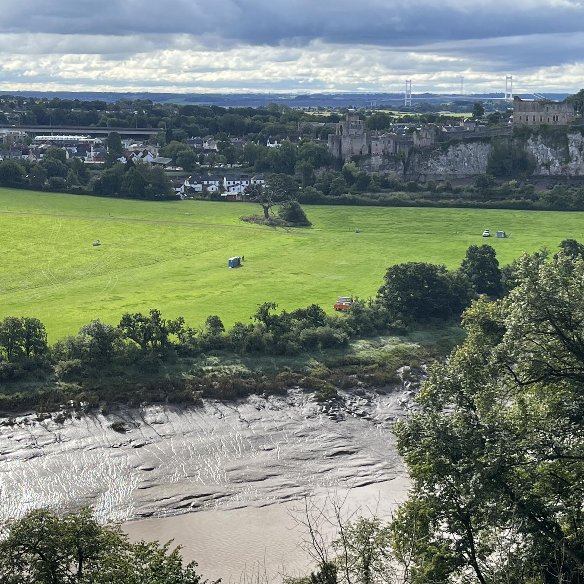
Running Trails around Chepstow
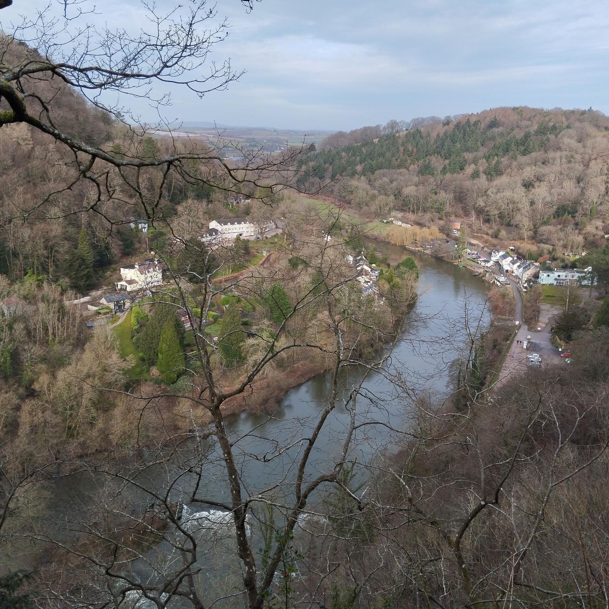
Running Trails around Lady Park Wood National Nature Reserve
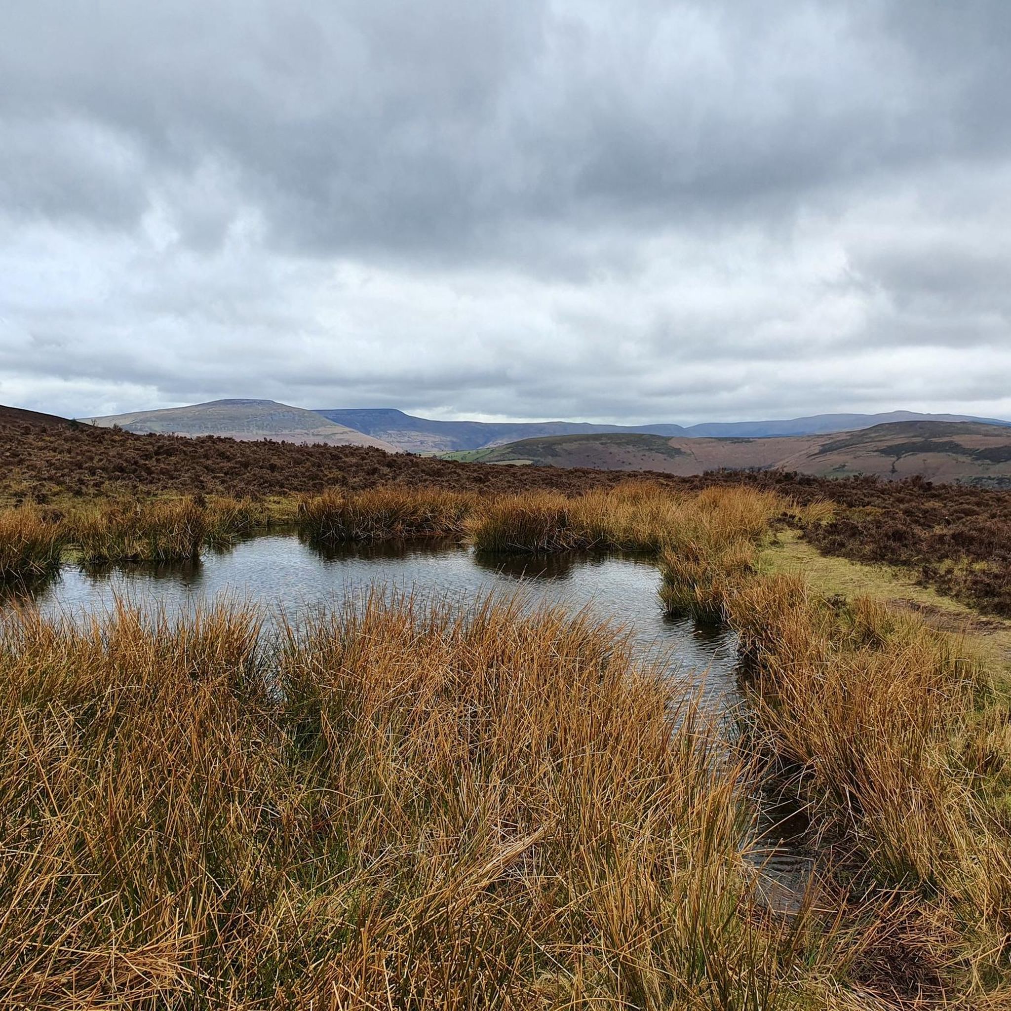
Running Trails around Abergavenny
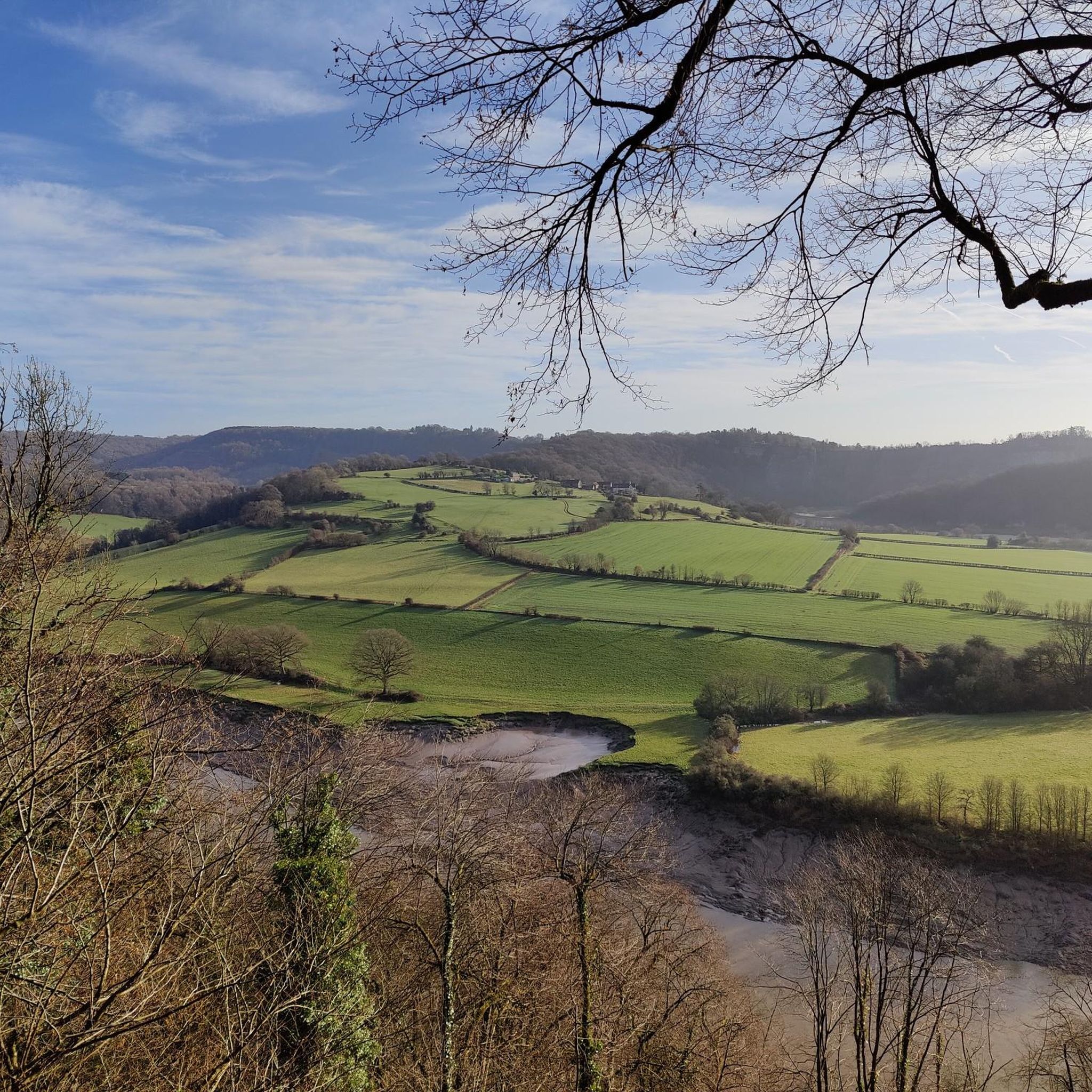
Running Trails around St Arvans
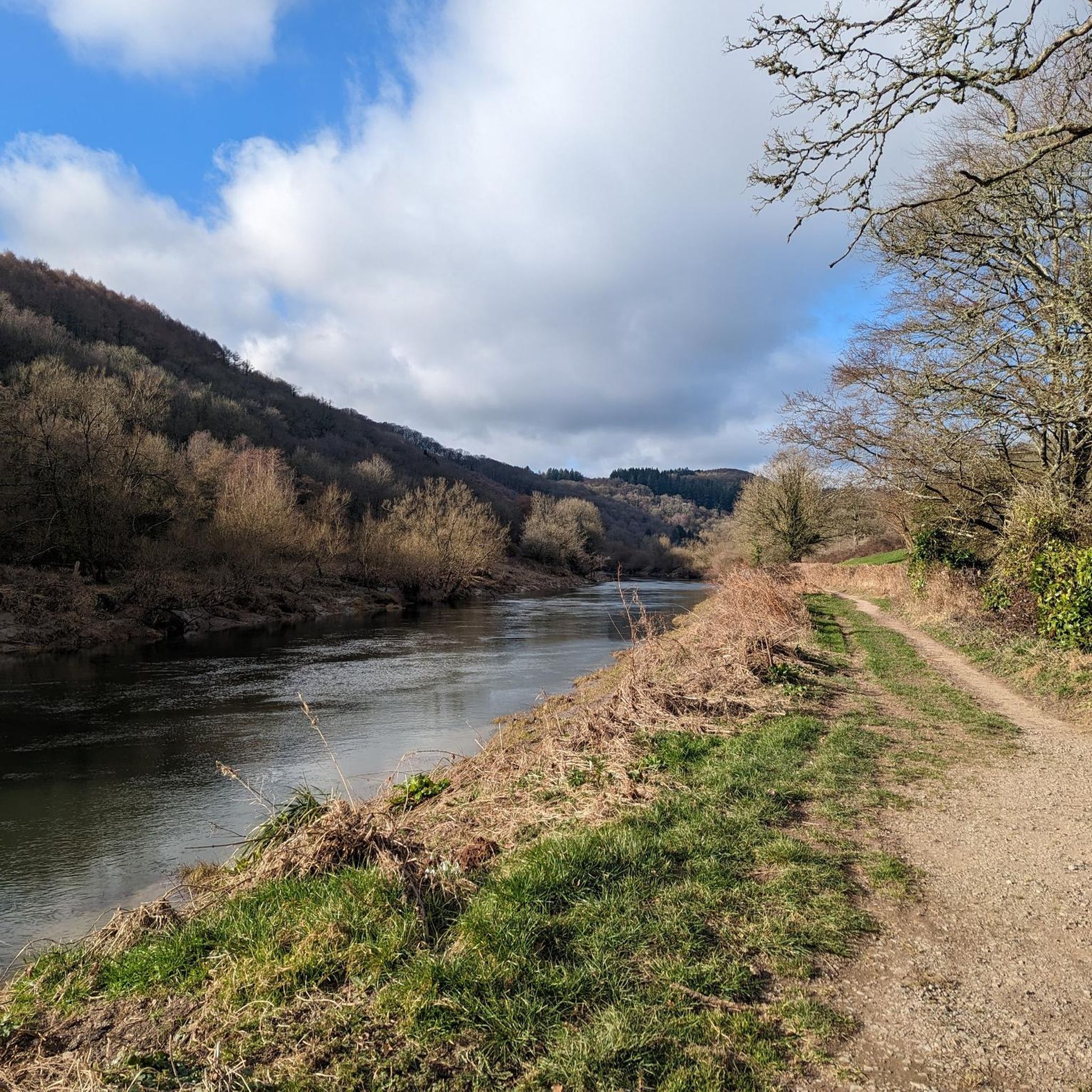
Running Trails around Wye Valley
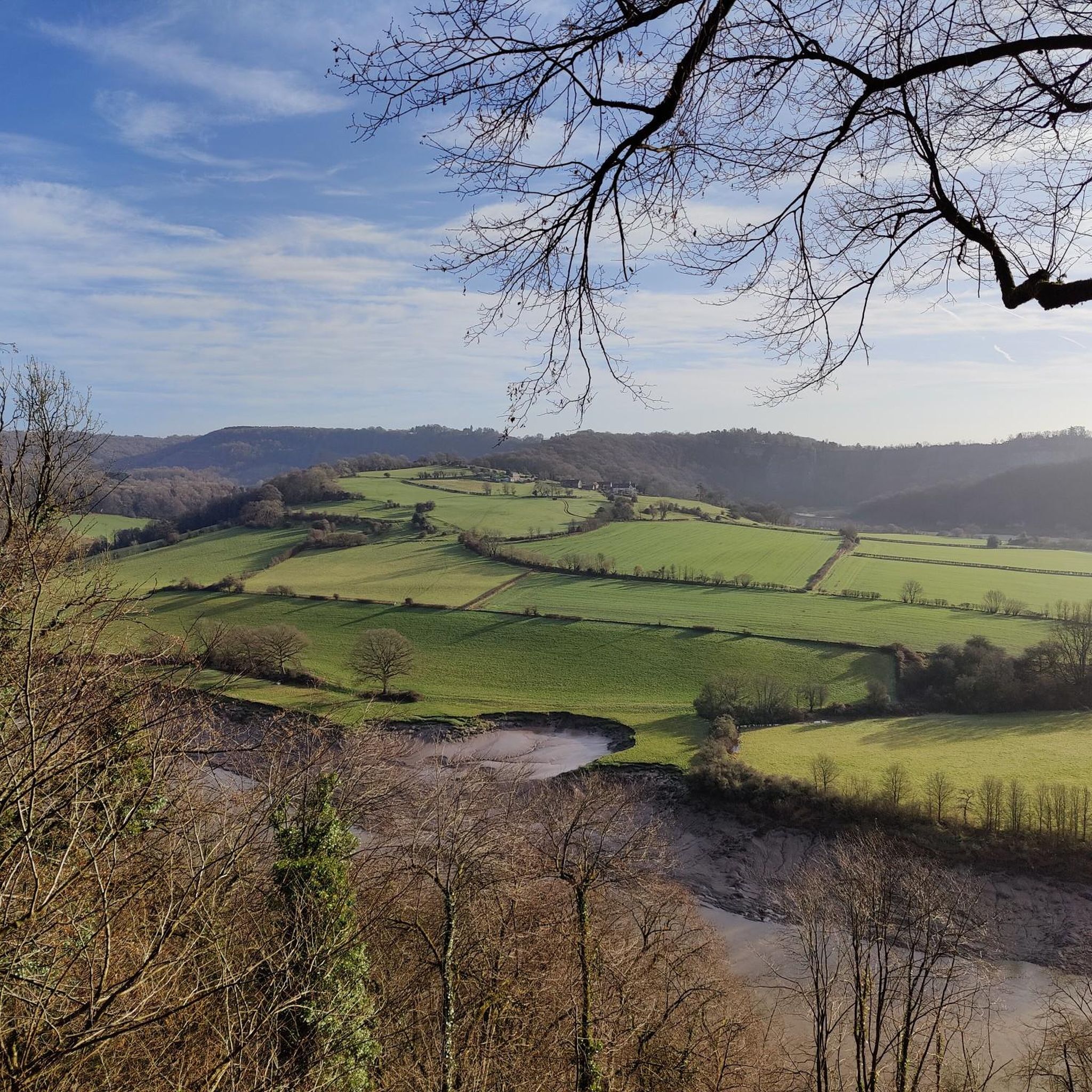
Running Trails around St. Arvans
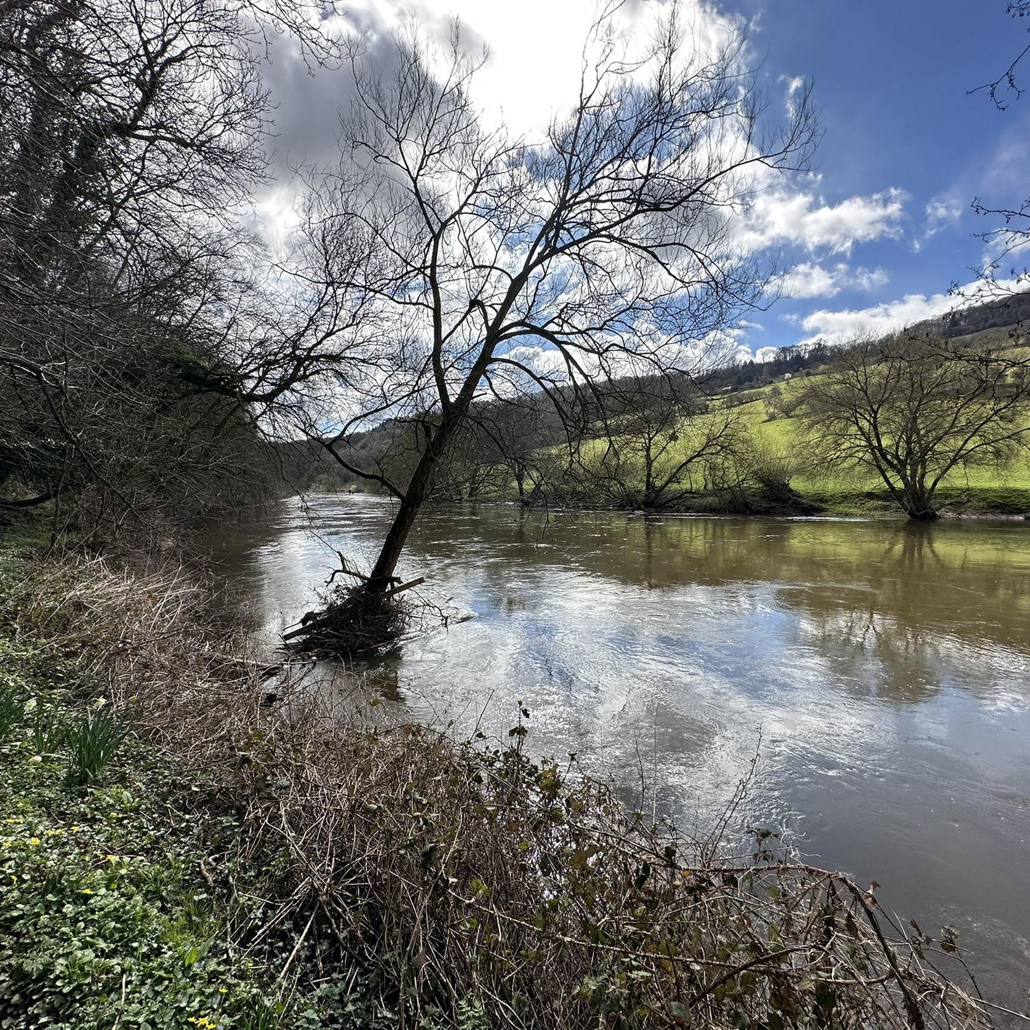
Running Trails around Monmouth
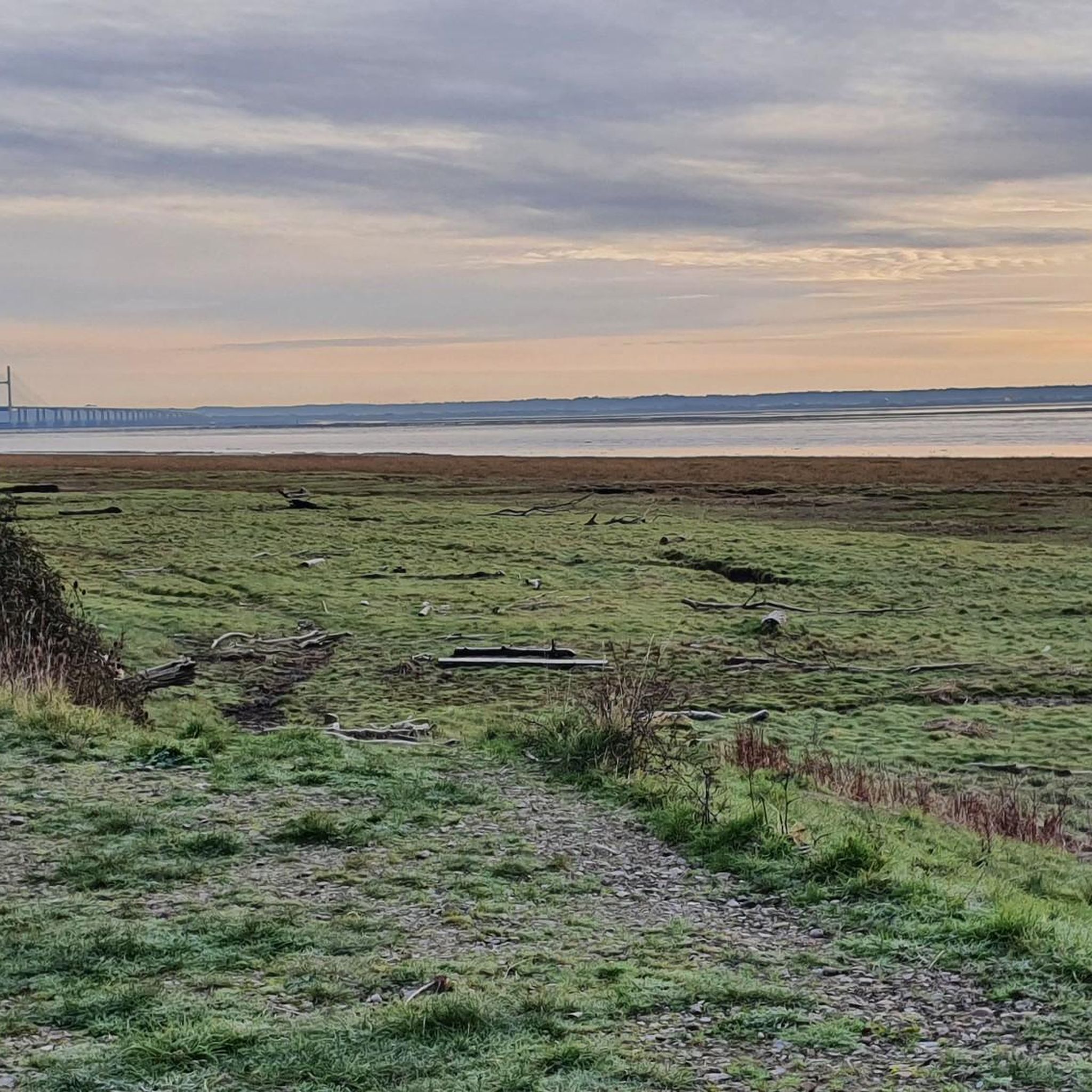
Running Trails around Caerwent
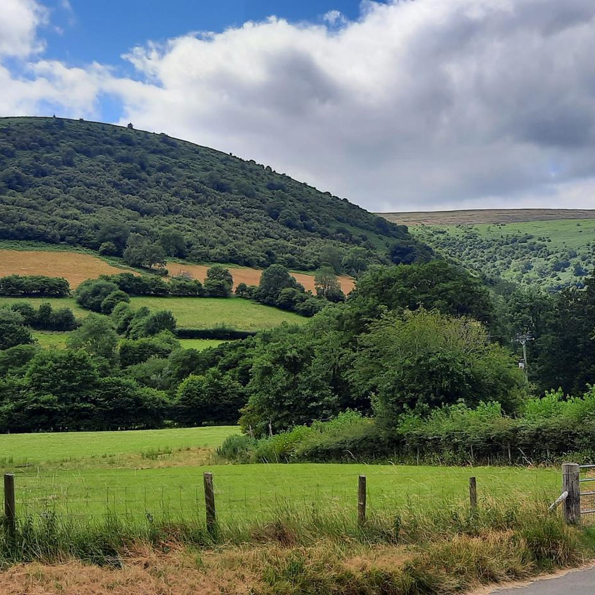
Running Trails around Crucorney
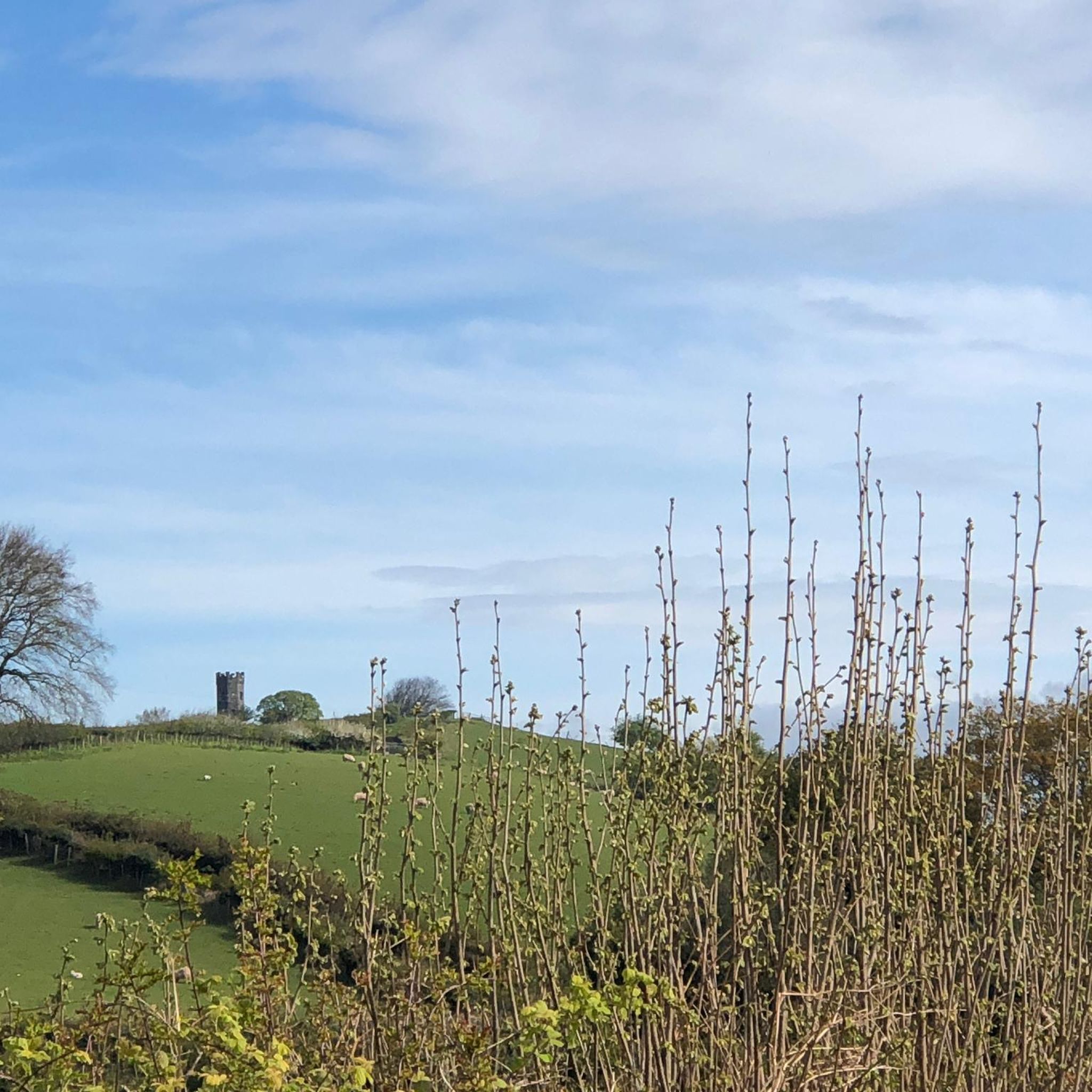
Running Trails around Llangybi
Other adventures in Monmouthshire


Tips from the Community

This is a very attractive bridge; I love the diamond-trussed side rails. You have a great view of the River Wye from here. It is not the busiest of bridges, but be careful, as there is only a narrow pavement section on the one side for pedestrians.
0
0

This was the highest point on this walk, and a fine view to the north and west.
0
0
A fine viewpoint, but the cairn has gone (was getting a bit big).
0
0
Fine little hill, Black Mountains outlier. Steepish at first but a straightforward and rewarding outing.
0
0

The Giant's Cave is a small pass through cave with a great view of the River Wye and Landscape
0
0

Frequently Asked Questions
How many running routes are available in Monmouthshire?
Monmouthshire offers a wide variety of running experiences, with over 400 routes available on komoot. These range from easy riverside paths to more challenging hill climbs, catering to all fitness levels.
Are there easy running routes suitable for beginners in Monmouthshire?
Yes, Monmouthshire has 31 easy running routes perfect for beginners or those looking for a relaxed jog. Many of these follow flatter terrain along river valleys, offering gentle gradients and scenic views. For example, the Brockweir Loop from Tintern Abbey — Wye Valley is a moderate 5.3 km route that is relatively flat.
Can I find circular running trails in Monmouthshire?
Absolutely. Many of the running routes in Monmouthshire are circular, allowing you to start and finish at the same point. Examples include the Devil's Pulpit & Brockweir loop from Tintern Abbey and the Chepstow Castle & Wye River loop from Chepstow, both offering beautiful scenery on a loop.
Are there running routes with good viewpoints in Monmouthshire?
Monmouthshire is known for its stunning landscapes and many routes offer spectacular viewpoints. The Twmpa & Hay Bluff loop from Llanthony Priory provides expansive views across the Black Mountains. Another great option is the Giants cave & Eagles Nest loop from Chepstow, which features the Eagles Nest viewpoint.
What kind of natural attractions can I see along the running routes?
Monmouthshire's running routes often pass by diverse natural attractions. You can encounter waterfalls like Glen Wood Waterfalls or Cleddon Falls. Many trails also lead to impressive natural monuments and summits such as Blorenge summit, Skirrid Fawr summit, or Sugar Loaf Summit.
Are there any running routes that are suitable for families?
While specific 'family-friendly' tags aren't always present, many of the easier and moderate routes in Monmouthshire are suitable for families, especially those with older children. Look for routes with lower elevation gain and shorter distances, often found along river paths or in forests. The Wentwood Forest and Wentwood Ridge running loop offers a pleasant forest environment.
What is the best time of year to go running in Monmouthshire?
Monmouthshire is beautiful year-round, but spring and autumn are particularly popular for running due to milder temperatures and stunning scenery. Spring brings wildflowers, while autumn offers vibrant foliage. Summer is great for early morning or late evening runs to avoid the heat, and winter can be invigorating, though some higher routes may require more caution due to weather conditions.
Are there running routes in Monmouthshire that are dog-friendly?
Many trails in Monmouthshire are dog-friendly, especially those in open countryside and woodlands. However, it's always best to check local signage for specific restrictions, especially in nature reserves or areas with livestock. Always keep dogs under control, and be mindful of other trail users and wildlife.
Are there running routes with parking available?
Yes, most running routes in Monmouthshire have designated parking areas nearby, especially those starting from popular trailheads, villages, or attractions. For example, the Sugar Loaf loop from Llanwenarth car park explicitly mentions a starting point with parking.
What do other runners enjoy most about jogging in Monmouthshire?
The running routes in Monmouthshire are highly rated by the komoot community, with an average score of 4.6 stars from over 70 reviews. Runners frequently praise the diverse landscapes, from scenic river valleys to challenging hill climbs, and the opportunity to explore historic sites and ancient woodlands.
Are there any 5k running routes in Monmouthshire?
Yes, Monmouthshire offers several routes around the 5-kilometer mark, perfect for a quick run or for those building up their distance. The Sugar Loaf loop from Llanwenarth car park is approximately 5.1 km, and The Skirrid Trail is about 5.9 km, offering a good challenge for its length.
Can I access running trails in Monmouthshire using public transport?
While many routes are best accessed by car, some trails, particularly those starting in towns like Chepstow or Abergavenny, can be reached via public transport. For instance, the Wye valley trail to Tintern from Chepstow starts in a town with bus and train connections, making it more accessible without a car.
Most popular routes in Monmouthshire
Most popular attractions in Monmouthshire

Get inspired with the komoot mobile app


Didn’t find what you were looking for?
Check out more Running Trails & Routes throughout Monmouthshire below and find the perfect route in your destination.
Explore more
Browse the best Running Trails & Routes in other regions.
