The best walks and hikes around Servigny-Lès-Sainte-Barbe
4.4
(567)
3,803
hikers
257
hikes
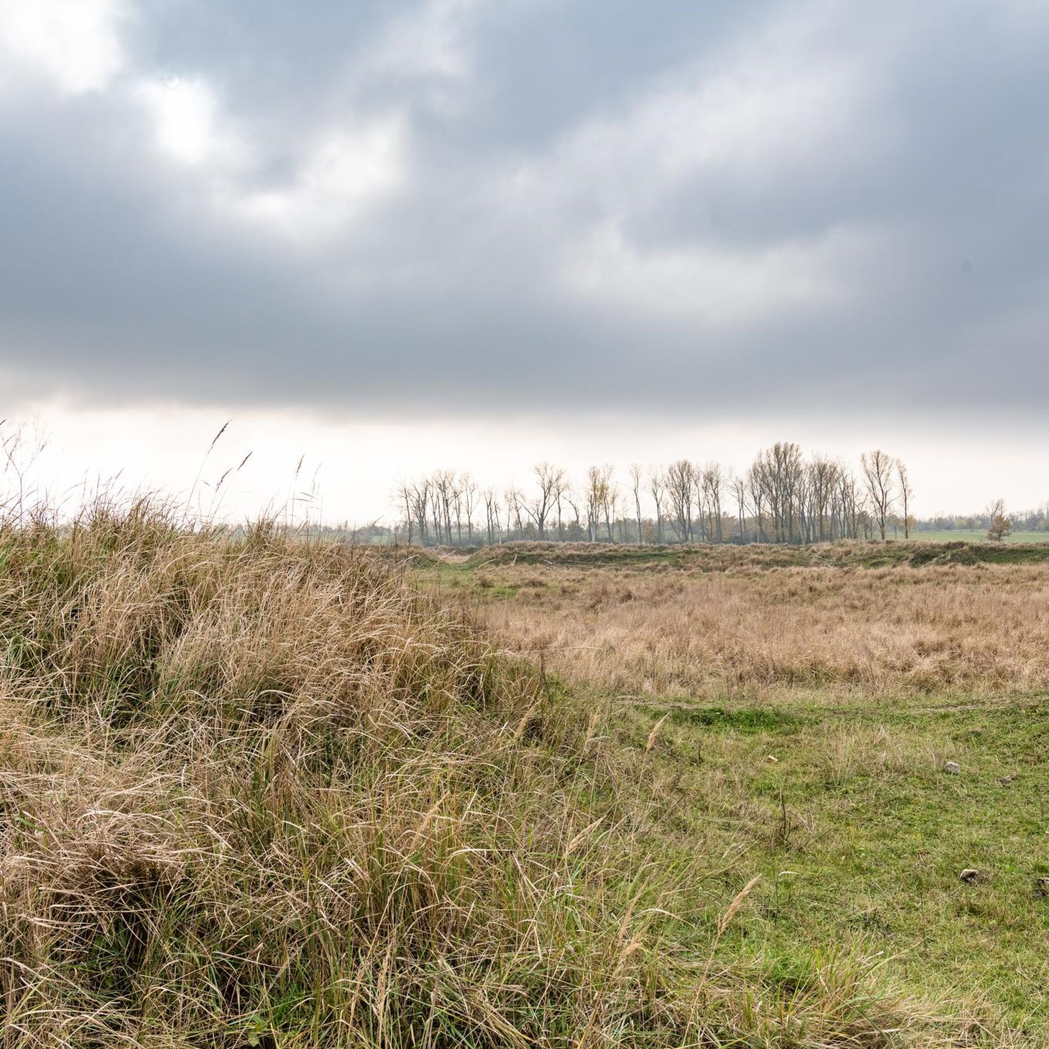
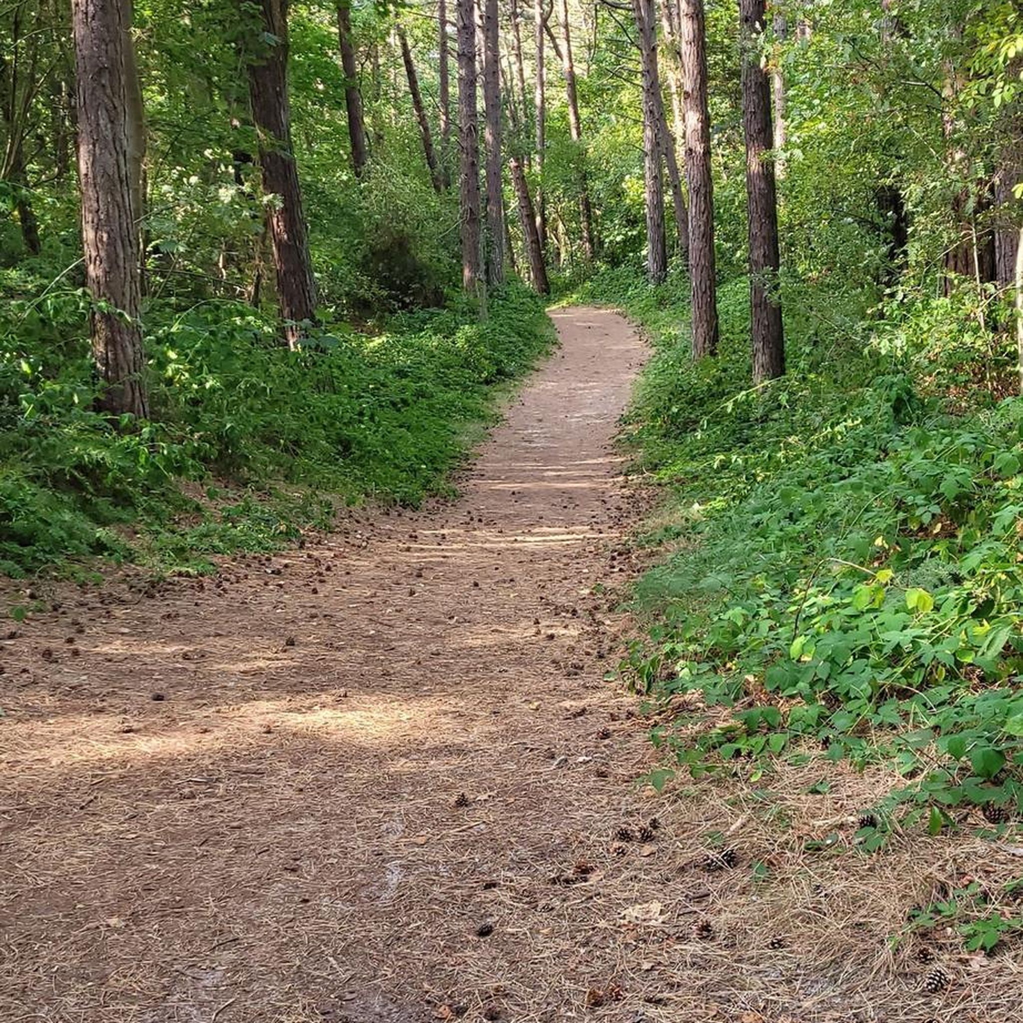
Hiking around Servigny-Lès-Sainte-Barbe offers diverse landscapes, situated between the Woëvre plain, the Lorraine plateau, and the Palatinate massif. The terrain features a mix of woodland, such as the Forêt de Saint-Hubert, and open agricultural fields. Narrow valleys carved by streams like the Ruisseau de Quarante contribute to varied scenic backdrops. Forests are prevalent on the eastern side, often on steeper slopes.
Best hiking trails around Servigny-Lès-Sainte-Barbe
- The most popular hiking route is Grotte Louis Pister loop from Noisseville, a…
Last updated: July 5, 2026
4.8
(4)
25
hikers
7.56km
02:01
80m
80m
Moderate hike. Good fitness required. Easily-accessible paths. Suitable for all skill levels.
3.5
(4)
16
hikers
Moderate hike. Good fitness required. Easily-accessible paths. Suitable for all skill levels.

Sign up for free
4.8
(4)
17
hikers
24.8km
06:40
300m
300m
Hard hike. Very good fitness required. Easily-accessible paths. Suitable for all skill levels.
4.0
(3)
11
hikers
Easy hike. Great for any fitness level. Easily-accessible paths. Suitable for all skill levels.
5.0
(2)
5
hikers
Moderate hike. Good fitness required. Easily-accessible paths. Suitable for all skill levels.
Get access to more routes and recommendations from other explorers.
Sign up for free
Already have an account?
Our route recommendations are based on thousands of hikes, rides, and runs completed by other people on komoot.
Start today with a free account
Your next adventure awaits.
Login or Signup
Tips from the Community

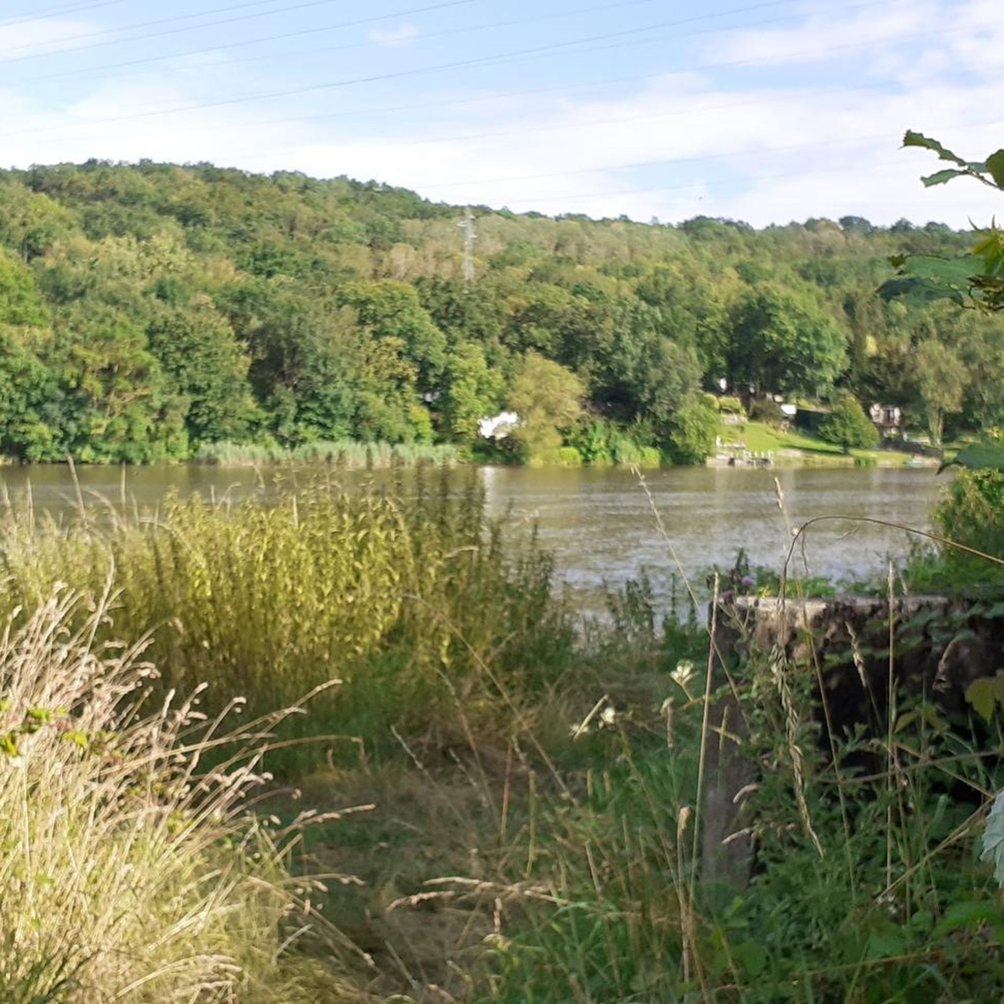
Lorraine Seille as a right tributary of the Moselle, confluence with the Moselle near Metz
0
0

already an imposing fortress
4
0

The Porte des Allemands is a genuine, small, independent fortress and highly symbolic of the city. It owes its name to the Teutonic Knights, or Hospitaller Brothers of Notre Dame des Allemands, who founded a hospital nearby as early as the 13th century. It is the most imposing structure remaining from the medieval city walls, serving as both a double gate and a bridge over the Seille River. The circular walking route along the city walls begins at the Porte des Allemands, allowing visitors to explore the remnants of Metz's fortifications.
13
0


pleasant walk in the heart of the city
2
0

Mey is a small, unpretentious village to the north of the Metz conurbation. In the region, many associate the town with the great Fort Champgane which lies to the north, buried in a forest which has reclaimed its rights over painful warlike memories.
0
0
Fort Champagne is a military structure built shortly before the First World War. Today abandoned, the fort has undergone the twists and turns of history, regularly switching between German and French regimes.
0
0

The tower is part of the medieval ramparts of Metz and allowed the defense of the bridge Les Grilles de la Basse-Seille and was included in the list of historic monuments in 1932, along with the part of the ramparts that leads from the tower to the Camoufle tower. There is a huge hole in the tower.
2
0
Frequently Asked Questions
How many hiking trails are available in Servigny-lès-Sainte-Barbe?
There are over 260 hiking routes around Servigny-lès-Sainte-Barbe, offering a wide variety of experiences. These include easy strolls, moderate treks, and some more challenging paths.
What kind of terrain can I expect on hikes around Servigny-lès-Sainte-Barbe?
The region offers diverse terrain, from the woodlands of the Forêt de Saint-Hubert to open agricultural fields. You'll find narrow valleys carved by streams like the Ruisseau de Quarante, and forests often on steeper, sandy slopes, particularly on the eastern side. This mix provides varied scenic backdrops for your hikes.
Are there any easy hiking trails suitable for beginners or casual walkers?
Yes, there are many easy trails. Out of the over 260 routes, 145 are classified as easy, making them perfect for beginners or those looking for a relaxed walk. An example of an easy route is the Fontaine du Bois de Failly – Compostelle Signpost loop from Sanry-lès-Vigy.
Are there any circular walks available in the area?
Many of the hiking routes around Servigny-lès-Sainte-Barbe are circular, allowing you to start and end at the same point. For instance, the Grotte Louis Pister loop from Noisseville and the Compostelle Signpost – Fontaine du Bois de Failly loop from Servigny-lès-Sainte-Barbe are popular circular options.
What natural features can I discover on the trails?
You can explore the tranquil Forêt de Saint-Hubert, follow the picturesque Ruisseau de Quarante, and encounter serene spots like La Fontaine à Lions, located in an unpopulated valley. The wider area also features expansive plains, small woods, and orchards.
Are there any historical landmarks to see while hiking?
Yes, the region is rich in history. You can hike along parts of an old railway line, including a disused tunnel near Nouilly, or explore routes that pass through villages like Mey and Vallières, where you can discover local churches and washhouses. Near Metz, you can also visit historical sites like the Porte des Allemands.
What are some interesting places to explore near the hiking routes?
Beyond the trails, you can visit significant landmarks such as the Porte des Allemands and the Saint-Étienne Cathedral in nearby Metz. For those interested in historical architecture, Pange Castle is also within reach.
Is Servigny-lès-Sainte-Barbe accessible by public transport for hikers?
Servigny-lès-Sainte-Barbe is located about ten kilometers from Metz, making it relatively accessible. While specific public transport details for trailheads are not provided, its proximity to a major city suggests options for reaching the general area.
Are there parking facilities available at trailheads?
While specific parking locations are not detailed for every trailhead, the village and surrounding areas are generally accommodating for visitors. Many routes start from villages or accessible points where parking is typically available.
Are the hiking trails in Servigny-lès-Sainte-Barbe suitable for families with children?
With 145 easy routes available, many trails are suitable for families with children. These easier paths often feature gentle relief and varied scenery, providing an enjoyable outdoor experience for all ages.
Can I bring my dog on the hiking trails?
The diverse landscapes, including woodlands and open fields, generally make the trails around Servigny-lès-Sainte-Barbe suitable for dog walking. However, it's always recommended to keep dogs on a leash, especially in agricultural areas or near wildlife, and to check local regulations for specific routes.
What do other hikers say about the trails in Servigny-lès-Sainte-Barbe?
The hiking routes in Servigny-lès-Sainte-Barbe are highly rated by the komoot community, with an average score of 4.4 stars from over 500 reviews. Hikers often praise the varied terrain, well-maintained paths, and the blend of natural beauty with historical points of interest.
Most popular routes around Servigny-Lès-Sainte-Barbe
Most popular attractions around Servigny-Lès-Sainte-Barbe

Get inspired with the komoot mobile app


Explore more
Browse the best Hikes in other regions.
