The best walks and hikes around Montpezat-Sous-Bauzon
4.4
(1105)
5,149
hikers
17
hikes
Hiking around Montpezat-Sous-Bauzon offers access to a landscape shaped by volcanic activity within the Monts d'Ardèche Regional Nature Park. The region features ancient volcanic vents, including the large Vestide du Pal maar crater, and dramatic basalt formations. Rivers like the Fontaulière carve fertile valleys, providing varied terrain for exploration. This geological history has created a diverse environment with paths traversing lava flows, chestnut groves, and elevated viewpoints.
Best hiking trails around Montpezat-Sous-Bauzon
- The most popular hiking route is Log bridge…
Last updated: July 9, 2026
4.0
(5)
24
hikers
6.18km
01:47
160m
160m
Easy hike. Great for any fitness level. Easily-accessible paths. Suitable for all skill levels.
4.7
(13)
58
hikers
12.0km
03:40
420m
420m
Moderate hike. Good fitness required. Easily-accessible paths. Suitable for all skill levels.

Sign up for free
5.0
(3)
20
hikers
3.86km
01:09
130m
130m
Easy hike. Great for any fitness level. Easily-accessible paths. Suitable for all skill levels.
5.0
(2)
14
hikers
19.9km
06:18
810m
810m
Hard hike. Very good fitness required. Easily-accessible paths. Suitable for all skill levels.
4.5
(2)
11
hikers
6.29km
01:46
130m
130m
Easy hike. Great for any fitness level. Easily-accessible paths. Suitable for all skill levels.
Get access to more routes and recommendations from other explorers.
Sign up for free
Already have an account?
Our route recommendations are based on thousands of hikes, rides, and runs completed by other people on komoot.
Start today with a free account
Your next adventure awaits.
Login or Signup
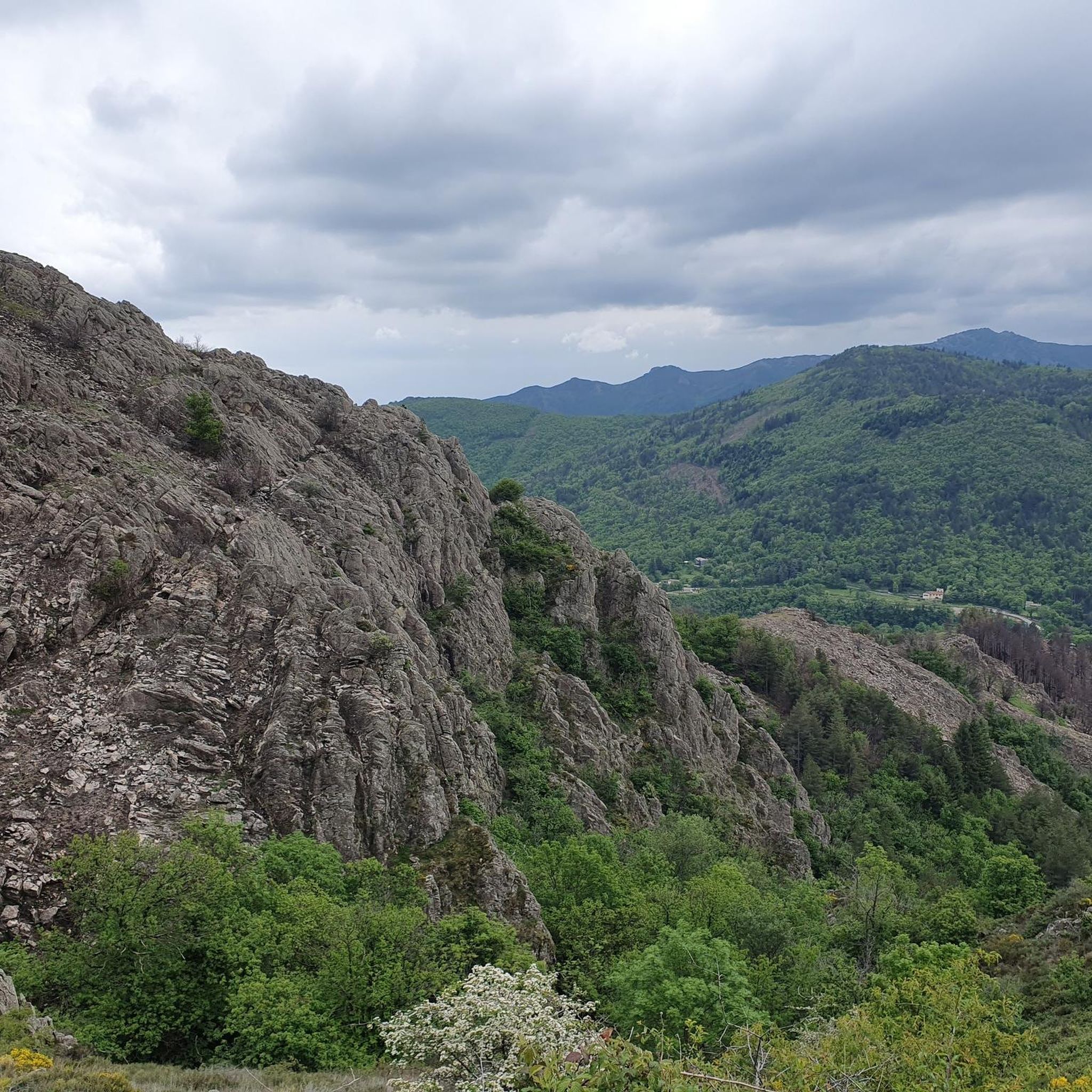
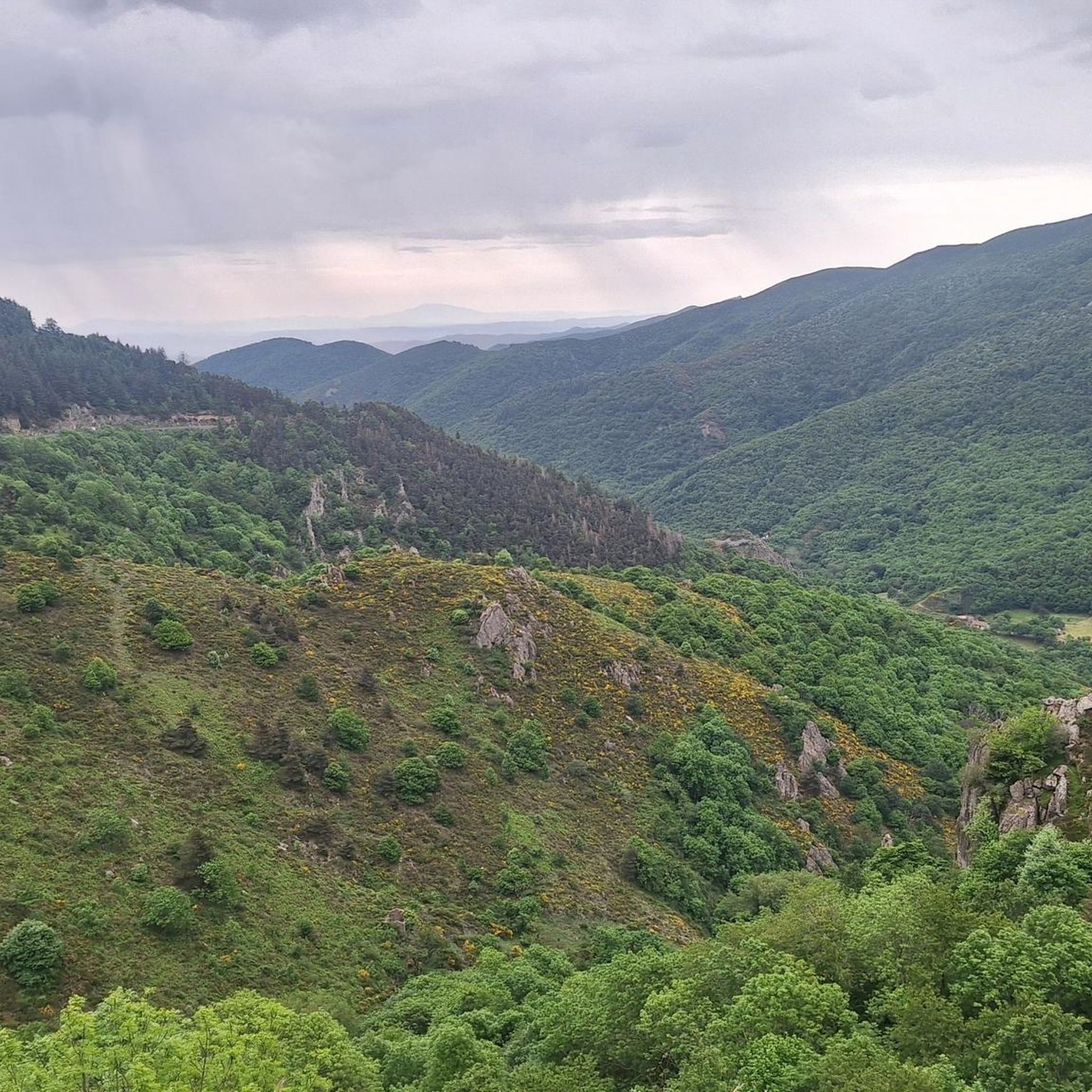
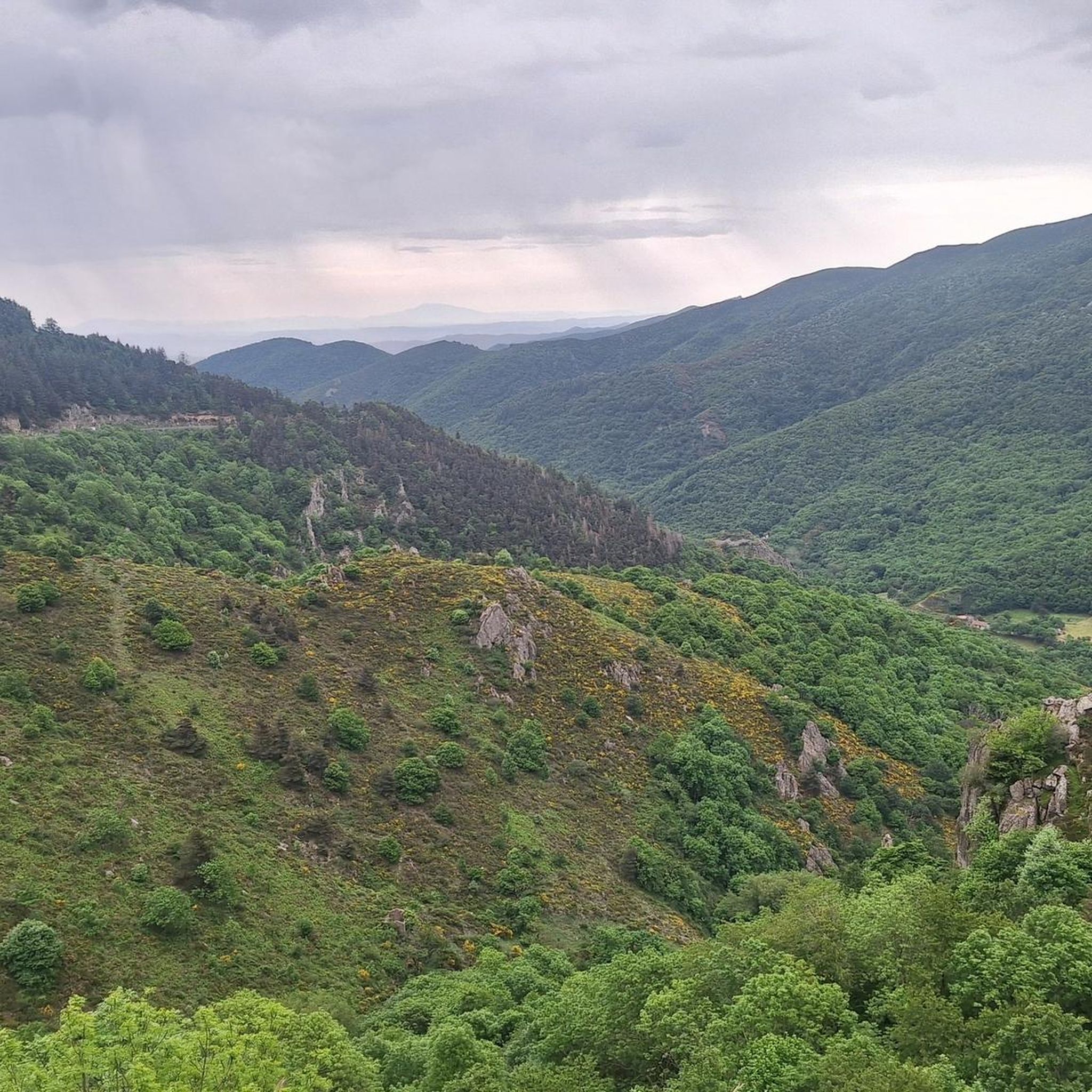
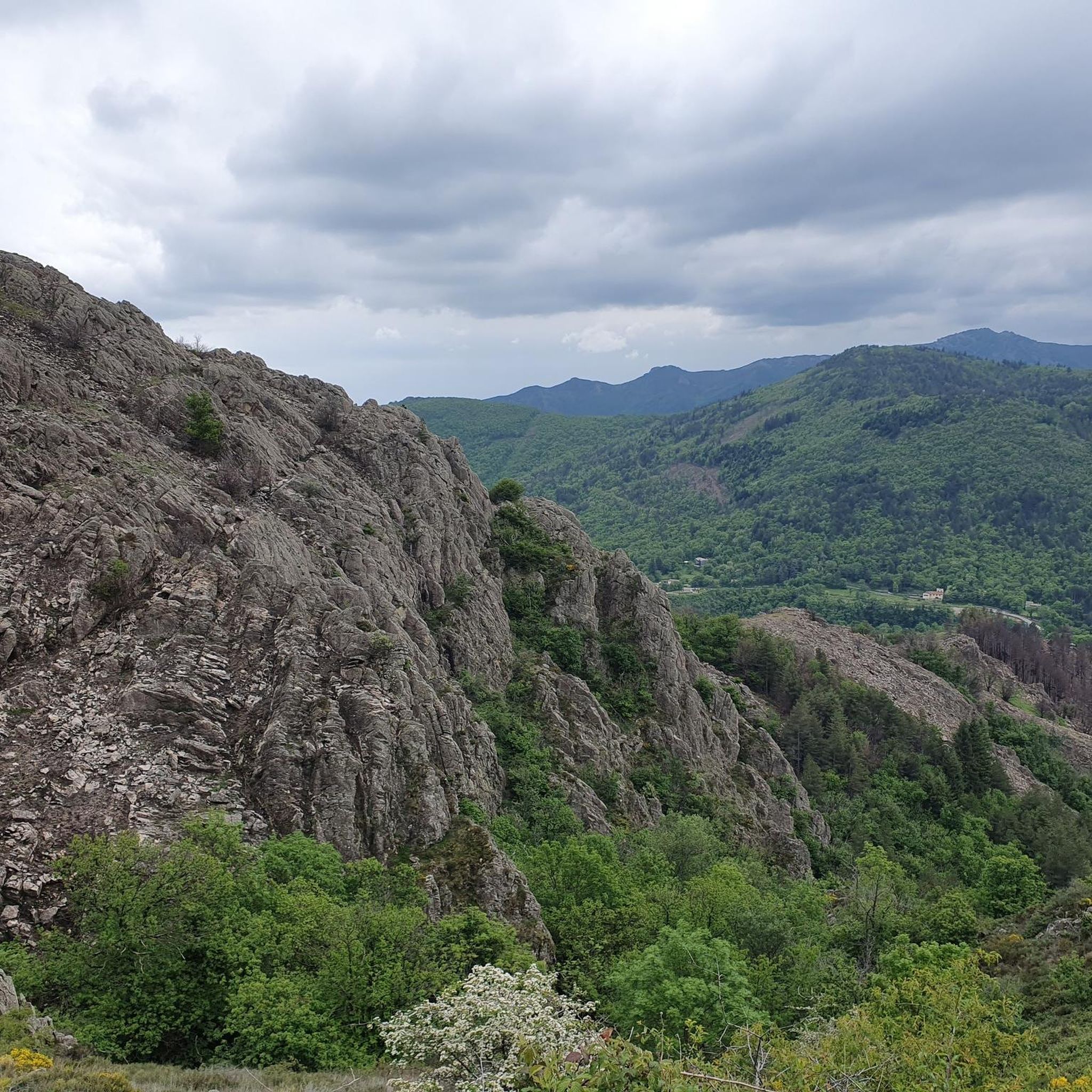
Tips from the Community

Currently closed due to a prefectural decree. https://www.montpezat-sous-bauzon.fr/IMG/pdf/DOC070624-07062024102157.pdf
0
0

difficult access even if the hike is short. Return by the same path.
0
0
Frequently Asked Questions
What kind of landscapes can I expect to see while hiking around Montpezat-Sous-Bauzon?
The region is defined by its unique volcanic heritage within the Monts d'Ardèche Regional Nature Park. You'll encounter ancient volcanic vents, including the vast Vestide du Pal maar crater, dramatic basalt formations, and areas shaped by ancient lava flows. Rivers like the Fontaulière carve fertile valleys, and trails often lead through chestnut groves and offer elevated viewpoints over rugged landscapes.
Are there any easy or family-friendly hiking routes in Montpezat-Sous-Bauzon?
Yes, there are several easy routes suitable for families. Out of 16 available trails, 7 are classified as easy. A good option is the Crose Crater loop from Parc naturel régional des Monts d'Ardèche, which is 3.9 km long and takes about 1 hour 9 minutes to complete, offering a gentle introduction to the volcanic landscapes.
Can I find circular hiking routes in the area?
Many of the trails around Montpezat-Sous-Bauzon are circular, allowing you to start and end at the same point. For example, the popular Log bridge – Pourcheyrolles Waterfall loop from Montpezat-sous-Bauzon is a 5.6 km circular trail that leads to the notable Pourcheyrolles Waterfall.
Are there any waterfalls or significant natural monuments to see on the hikes?
Absolutely. The region is home to stunning natural features. You can visit the iconic Ray-Pic Waterfall, a natural volcanic site with a 60-meter cascade. Other notable natural monuments include the Pont du Diable (Thueyts), the Queen's Ladder, and the Rue des Géants Basalt Columns, which showcase the region's dramatic geology.
What is the most challenging hike available in Montpezat-Sous-Bauzon?
For experienced hikers seeking a challenge, the Col du Pal loop from Montpezat-sous-Bauzon is classified as difficult. This route spans nearly 20 km and involves significant elevation changes, offering a strenuous but rewarding experience through the varied terrain.
What do other hikers say about the trails in Montpezat-Sous-Bauzon?
The hiking trails in Montpezat-Sous-Bauzon are highly regarded by the komoot community, with an average rating of 4.4 out of 5 stars from over 1000 reviews. Hikers often praise the diverse volcanic landscapes, the well-maintained paths, and the opportunities to discover both natural wonders and historical sites.
Are there any historical sites or cultural discoveries along the hiking routes?
Yes, hiking routes in Montpezat-Sous-Bauzon often incorporate cultural elements. You might discover ancient Roman roads connecting valleys to plateaus, or pass by historical structures such as the ruins of Pourcheyrolles castle, the Romanesque Notre-Dame de Prévenchères church, or the Clastres priory with its rose garden.
How many hiking trails are there in Montpezat-Sous-Bauzon?
There are 16 hiking trails available around Montpezat-Sous-Bauzon, offering a range of options from easy strolls to more challenging treks. This includes 7 easy, 8 moderate, and 1 difficult route.
Are there any long-distance hiking options in the area?
While many routes are day hikes, some trails offer longer distances for those seeking extended exploration. For instance, the Col du Pal loop from Montpezat-sous-Bauzon is a difficult 19.9 km route, providing a substantial challenge for a longer day out.
What are some notable viewpoints or panoramic spots on the trails?
Many hikes in the region offer remarkable views. The Rocher de Cheylard, at 1,412 meters, is a natural viewpoint providing extensive panoramas of the Cévennes Ardéchoises, the Fontaulière plain, and the surrounding rugged landscapes and deep valleys.
What is the best way to experience the volcanic features of the region?
To fully immerse yourself in the volcanic landscape, consider routes that specifically explore the ancient volcanoes. A circular route around the Vestide du Pal volcano, Lac Ferrand (a water-filled maar), and the dry Chambon volcano is highly recommended. The Crose Crater loop from Parc naturel régional des Monts d'Ardèche also provides a good introduction to these unique formations.
Are there any trails that follow river valleys?
Yes, the region's rivers, such as the Fontaulière and its tributary the Pourseille, create fertile valleys with pleasant walking routes. The Lignon valley, between Jaujac and La Souche, offers paths along its left bank, where you can admire old buildings and cross streams via ancient bridges, providing a different hiking experience.
Most popular routes around Montpezat-Sous-Bauzon
Most popular attractions around Montpezat-Sous-Bauzon

Get inspired with the komoot mobile app


Explore more
Browse the best Hikes in other regions.
