The best walks and hikes around Beaupouyet
4.1
(16)
79
hikers
20
hikes
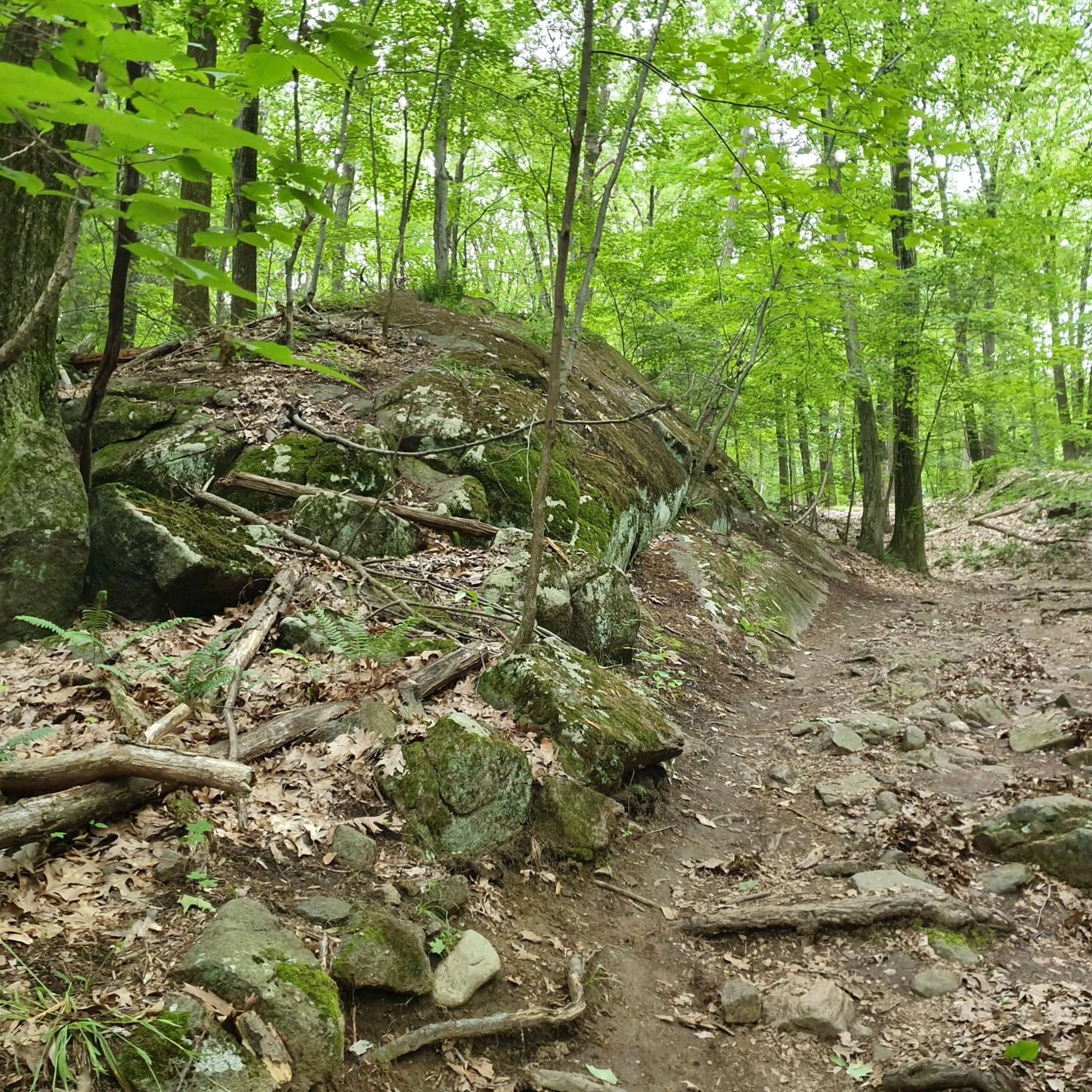
Hiking around Beaupouyet offers routes through varied terrain in the Dordogne department of France. The village sits atop a hillock, providing views over the Vallée de l'Isle and the Forêt de la Double. The region is characterized by extensive public forests like the Forêt du Vignoble, which features numerous footpaths and diverse flora. These landscapes provide a mix of gentle river valleys and elevated forest trails.
Best hiking trails around Beaupouyet
- The most popular hiking route is Canal de Bénévent…
Last updated: June 29, 2026
4.6
(5)
18
hikers
5.63km
01:26
20m
20m
Easy hike. Great for any fitness level. Easily-accessible paths. Suitable for all skill levels.
4.0
(2)
6
hikers
19.8km
05:21
260m
260m
Hard hike. Very good fitness required. Easily-accessible paths. Suitable for all skill levels.

Sign up for free
3.0
(2)
12
hikers
24.4km
06:36
330m
330m
Hard hike. Very good fitness required. Easily-accessible paths. Suitable for all skill levels.
4.0
(1)
6
hikers
7.07km
01:54
90m
90m
Easy hike. Great for any fitness level. Easily-accessible paths. Suitable for all skill levels.
8
hikers
28.3km
07:38
360m
360m
Hard hike. Very good fitness required. Easily-accessible paths. Suitable for all skill levels.
Get access to more routes and recommendations from other explorers.
Sign up for free
Already have an account?
Our route recommendations are based on thousands of hikes, rides, and runs completed by other people on komoot.
Start today with a free account
Your next adventure awaits.
Login or Signup



Tips from the Community

Rest area with bench and emergency toilet.
0
0

A bit morbid but still a nice waypoint.
1
0


A superb view of the Isle valley is offered to you after a fairly steep climb. Breathtaking!!
0
0

Frequently Asked Questions
How many hiking trails are available around Beaupouyet?
There are over 20 hiking routes available around Beaupouyet. These trails offer a variety of experiences, from easy strolls along river valleys to more challenging routes through dense woodlands.
Are there easy hiking trails suitable for beginners or families in Beaupouyet?
Yes, Beaupouyet offers several easy hiking trails perfect for beginners or families. For instance, the Canal de Bénévent Bridge loop from Saint-Laurent-des-Hommes is an easy 3.5-mile (5.6 km) route with minimal elevation gain, ideal for a relaxed outing.
What kind of natural features can I expect to see on hikes in Beaupouyet?
Hiking in Beaupouyet allows you to explore diverse natural features. The region is characterized by extensive public forests like the Forêt du Vignoble, which boasts a rich variety of flora, including heather, asphodel, and even orchids. You'll also encounter the scenic Vallée de l'Isle and enjoy panoramic views from Beaupouyet's elevated position.
Are there any circular hiking routes in the Beaupouyet area?
Yes, many of the trails around Beaupouyet are designed as circular routes. For example, the Hiking loop from Sourzac is a moderate 7.7-mile (12.4 km) path that traverses varied countryside in a loop, offering a complete experience without retracing your steps.
What is the best time of year to go hiking in Beaupouyet?
The Dordogne region, including Beaupouyet, is generally pleasant for hiking from spring through autumn. Spring brings blooming wildflowers, especially in the Forêt du Vignoble, while autumn offers beautiful foliage. Summer is also suitable, but it's advisable to hike in the mornings or late afternoons to avoid the midday heat.
Are Beaupouyet's hiking trails dog-friendly?
Many of the natural trails and forest paths in the Beaupouyet area, particularly within the Forêt du Vignoble, are suitable for walking with dogs. It's always recommended to keep dogs on a leash, especially in areas with wildlife or near livestock, and to carry water for both yourself and your pet.
Where can I find parking for hiking trails in Beaupouyet?
While specific parking areas for every trail are not detailed, public forests like the Forêt du Vignoble often provide designated parking facilities. For routes starting from nearby villages, parking is typically available in village centers or near trailheads. It's advisable to check local signage upon arrival.
Are there any long-distance or more challenging hikes around Beaupouyet?
Yes, for those seeking a longer or more challenging experience, Beaupouyet offers routes like the Les Bitarelles Signpost loop from Saint-Géry. This difficult 14.1-mile (22.7 km) trail involves significant elevation gain and takes approximately 6 hours to complete, leading through varied landscapes.
What do other hikers say about the trails in Beaupouyet?
The hiking routes in Beaupouyet are highly rated by the komoot community, with an average score of 3.9 stars. Hikers often praise the quiet woodlands, varied terrain, and the opportunity to explore the natural beauty of the Dordogne region.
Can I reach hiking trailheads in Beaupouyet using public transport?
Public transport options directly to every trailhead in rural areas like Beaupouyet can be limited. While Beaupouyet is a village, accessing specific starting points for hikes might require a car. However, some routes may be accessible from larger towns in the Vallée de l'Isle that have bus or train connections.
Are there places to picnic or rest along the hiking trails?
Yes, notably, the Forêt du Vignoble, a significant hiking area near Beaupouyet, provides amenities such as a picnic area and sanitary facilities, making it convenient for longer outings. Many other trails will also offer natural spots for a break amidst the scenic surroundings.
What kind of views can I expect on hikes around Beaupouyet?
Beaupouyet's elevated position as a 'beautiful little puy' means many trails offer admirable vistas. You can expect panoramic views over the Vallée de l'Isle, the sprawling Forêt de la Double, and even glimpses of the bell towers of neighboring communes, especially from higher points.

Get inspired with the komoot mobile app


Explore more
Browse the best Hikes in other regions.
