The best cycling routes in Anhalt-Bitterfeld
4.6
(7619)
26,749
riders
1,327
rides
Touring cycling in Anhalt-Bitterfeld is characterized by its largely flat topography, intersected by the Elbe and Mulde rivers, and numerous lakes such as Goitzsche Lake. The region features extensive cycling networks that traverse diverse landscapes, including river floodplains, former industrial areas transformed into recreational zones, and parts of nature parks like Düben Heath. These routes offer varied terrain suitable for different cycling preferences, from leisurely rides along waterways to longer excursions through forests and open countryside.
Best touring cycling routes…
Last updated: June 26, 2026
4.8
(1078)
3,497
riders
Easy bike ride. Great for any fitness level. Mostly paved surfaces. Suitable for all skill levels.
4.8
(636)
1,777
riders
53.6km
03:05
120m
120m
Moderate bike ride. Good fitness required. Mostly paved surfaces. Suitable for all skill levels.

Sign up for free
4.7
(111)
384
riders
Moderate bike ride. Good fitness required. Mostly paved surfaces. Suitable for all skill levels.
4.3
(140)
475
riders
23.2km
01:36
100m
100m
Hard bike ride. Great for any fitness level. You may need to push your bike for some segments of this route.
4.6
(117)
444
riders
39.8km
02:20
100m
100m
Moderate bike ride. Good fitness required. Mostly paved surfaces. Suitable for all skill levels.
4.8
(170)
370
riders
Easy bike ride. Great for any fitness level. Mostly paved surfaces. Suitable for all skill levels.
4.8
(89)
313
riders
Moderate bike ride. Good fitness required. Mostly paved surfaces. Suitable for all skill levels.
4.5
(52)
240
riders
Moderate bike ride. Good fitness required. Mostly paved surfaces. Suitable for all skill levels.
4.5
(57)
238
riders
Hard bike ride. Very good fitness required. Mostly paved surfaces. Suitable for all skill levels.
4.7
(71)
242
riders
Moderate bike ride. Good fitness required. Mostly paved surfaces. Suitable for all skill levels.
Get access to more routes and recommendations from other explorers.
Sign up for free
Already have an account?
Our route recommendations are based on thousands of hikes, rides, and runs completed by other people on komoot.
Start today with a free account
Your next adventure awaits.
Login or Signup
Popular around Anhalt-Bitterfeld
Other adventures in Anhalt-Bitterfeld


Tips from the Community

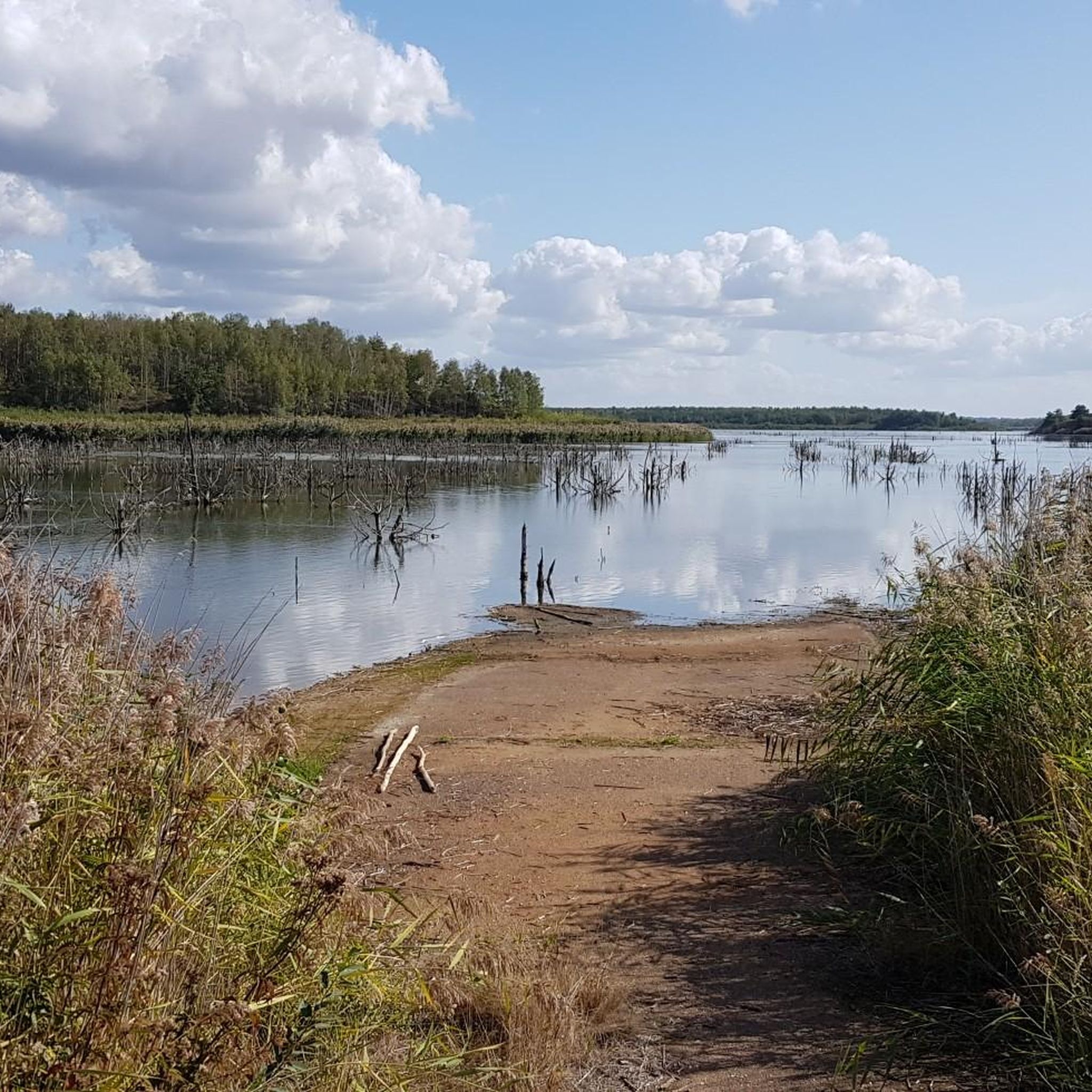
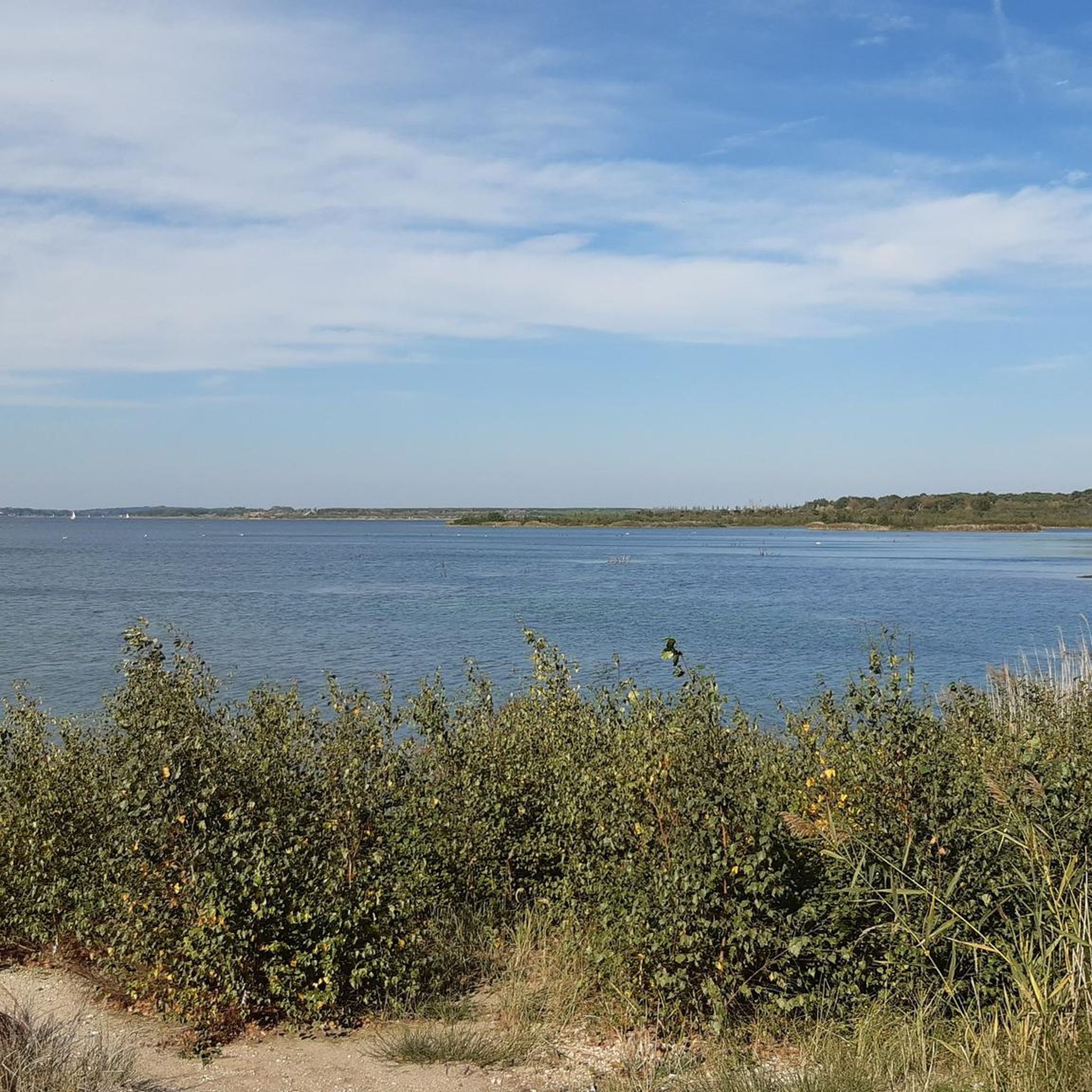
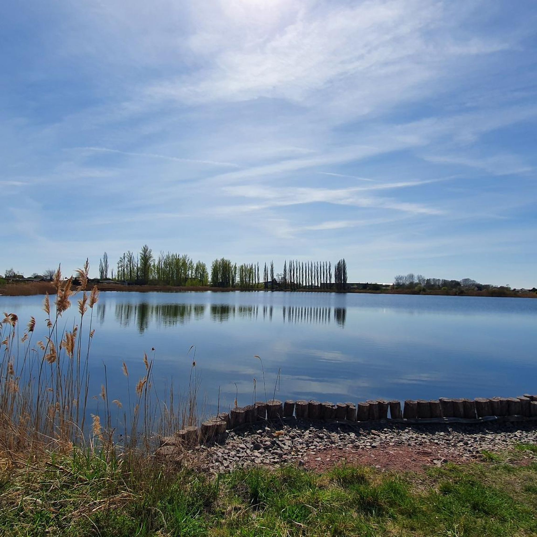
This view from the circular path onto the Goitzsche is always beautiful again.
1
0
Today, an developed network of cycle paths and hiking trails with viewing platforms and information boards on the formation of the landscape extends along the Neuhäuser See. The 120 km long Kohle-Dampf-Licht cycle path from Lutherstadt Wittenberg to Markkleeberg passes by the lake. Source https://de.wikipedia.org/wiki/Neuh%C3%A4user_See
1
0
In the mid-19th century, the first mining activities began in the southwest of Goitzsche, near the villages of Petersroda and Holzweißig.[3] Following the lignite seam, mining progressed from west to east. Favored by the opening of the current Magdeburg–Leipzig and Trebnitz–Leipzig railway lines, the sales market for lignite expanded to Halle and Leipzig, among other places. The increased demand for electrical energy and fossil fuels in the 19th and 20th centuries led in 1908 to the opening of the Leopold open-cast mine (from 1945 to 1962 Holzweißig–Ost) and in 1958 to the creation of the Holzweißig-West open-cast mine.[3] The Neuhäuser See originated from the former Holzweißig-West lignite open-cast mine. It is named after the Neuhaus estate, which was demolished in 1976 along with the village of Paupitzsch. The Holzweißig-West open-cast mine was operated from 1958 to 1980. Other sources report usage until 1991. The lake was flooded from 1993 to 2005.[1] Overflowing water is channeled via the Goitzsche into the Mulde. Since 1997, the area has been renatured and stable embankments have been created. Source https://de.wikipedia.org/wiki/Neuh%C3%A4user_See
1
0
The Neuhäuser See is located on the northwestern border of the Free State of Saxony with Saxony-Anhalt, at an altitude of about 78 m above sea level. NN. South of the lake is Benndorf, a district of the North Saxon district town of Delitzsch, and to the north is the unified municipality of Bitterfeld-Wolfen in Saxony-Anhalt. It is located in the Central German Lake District, south of the Großer Goitzschesee and the waters Ludwigsee and Paupitzscher See. Quelle https://de.wikipedia.org/wiki/Neuh%C3%A4user_See
1
0
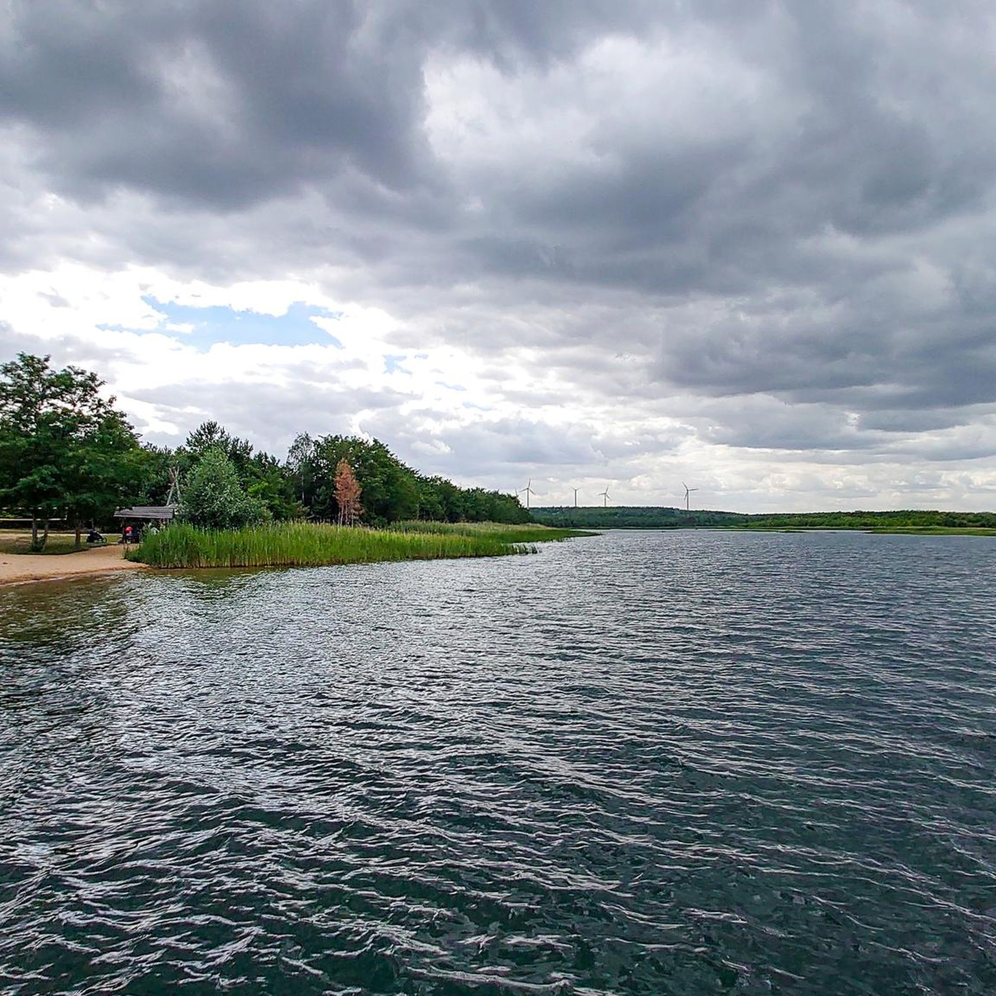
The Neuhäuser See (also Neuhauser See) is an opencast mine residual lake of approximately 155 hectares, which was created by flooding the former Holzweißig-West opencast mine. The lake is located in the Central German Lake District, south of the Goitzsche nature reserve and north of the town of Delitzsch. Source https://de.wikipedia.org/wiki/Neuh%C3%A4user_See
1
0

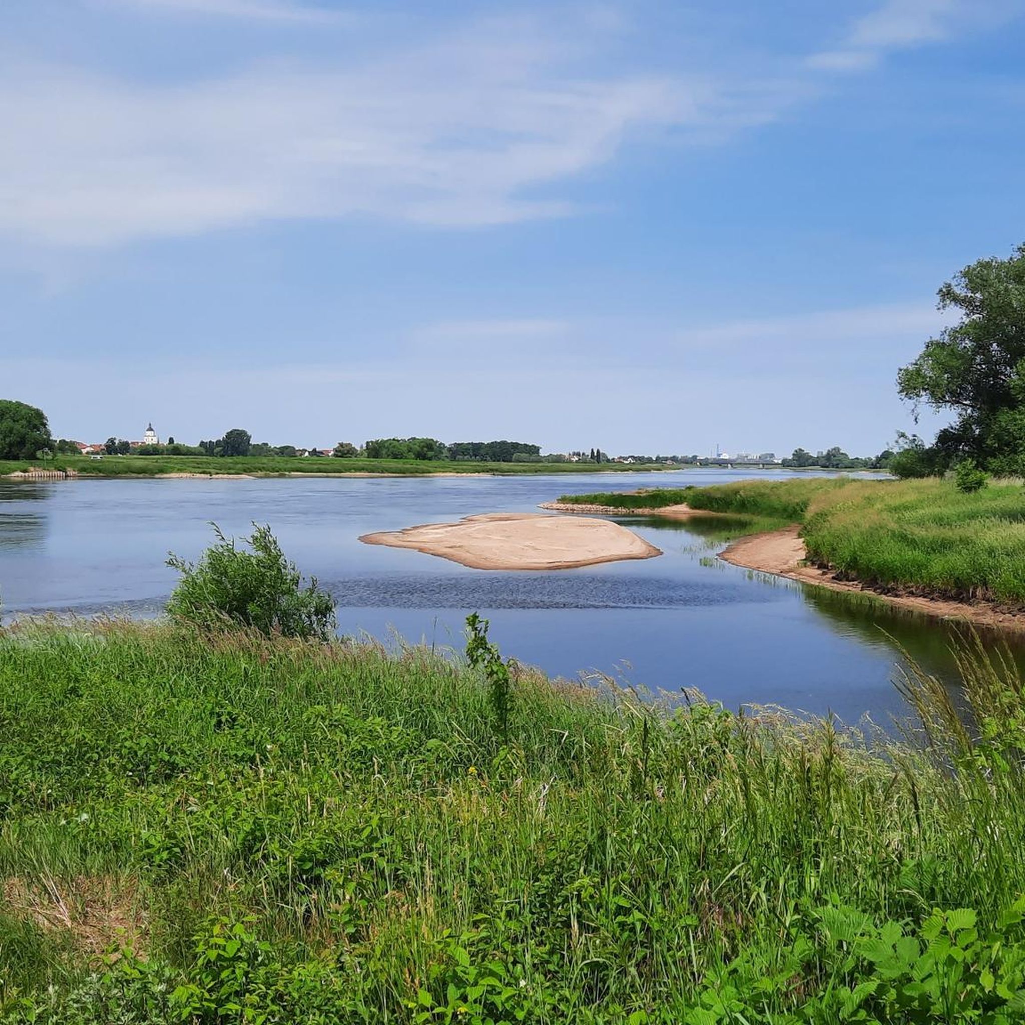
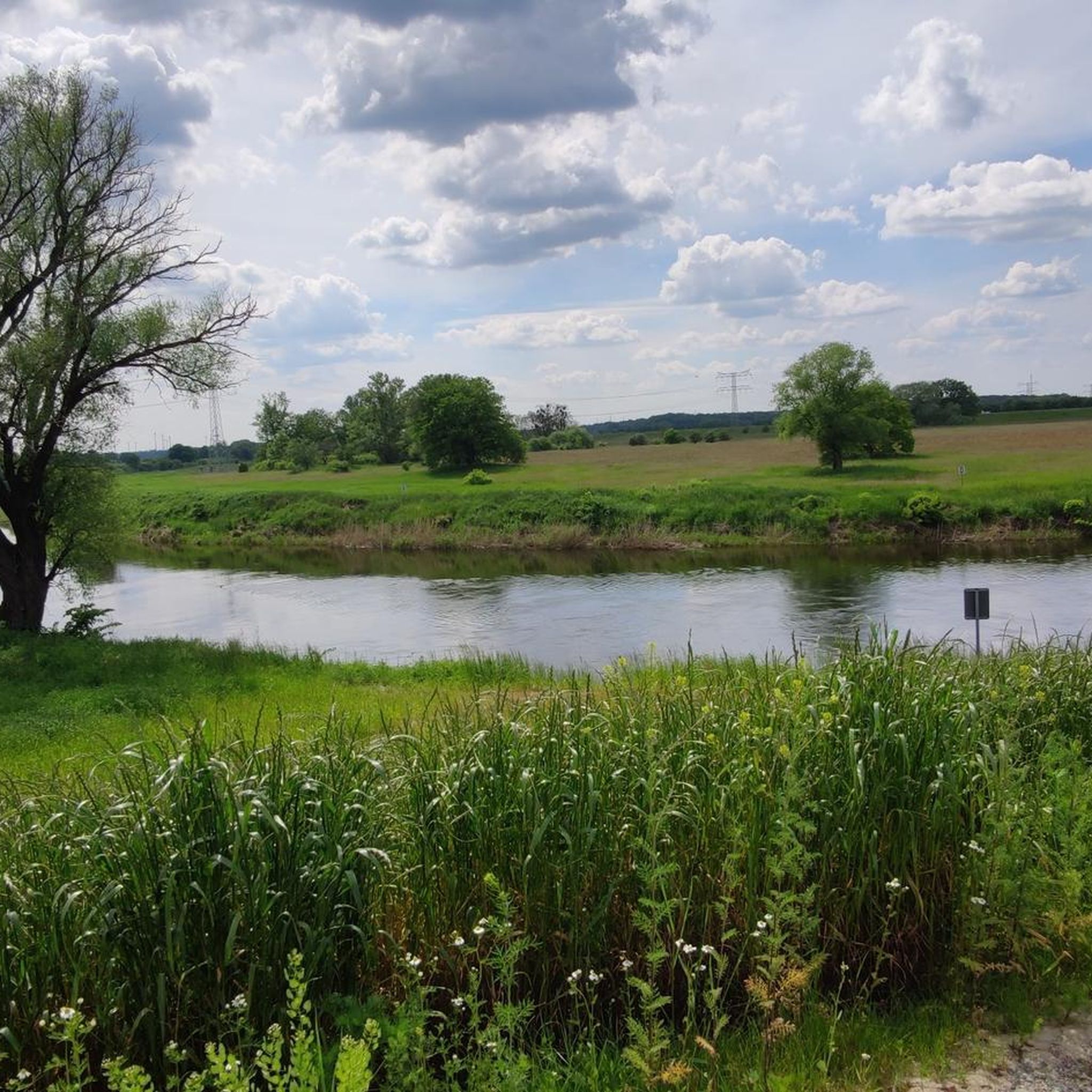
This view is from the Kornhaus. The Kornhaus is an excursion restaurant on the Elbe in the Dessau-Roßlau district of Ziebigk. It belongs to the Bauhaus buildings in Dessau.
3
0

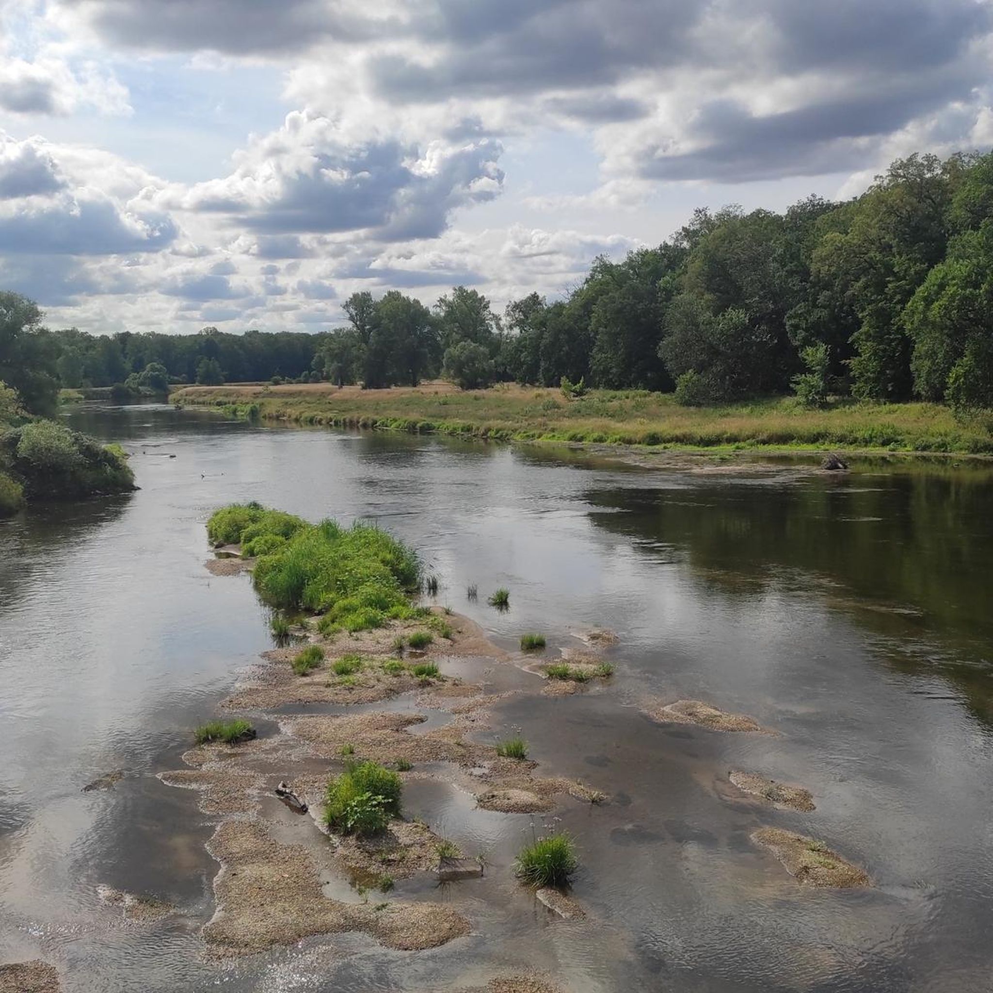
Great path along the Elbe, very relaxed.
0
0

A circuit around the Gremminer See is recommended. In addition to the view of the "Iron City" Ferropolis, there are many very interesting iron sculptures with imagined names to admire along the beautiful, asphalted path. Immediately behind the bridge over the B100/B107 to the town of Gräfenhainichen, you can also stop for an excellent meal at the Greek restaurant "Athos". (https://athos-der-grieche.de)
0
0
Frequently Asked Questions
How many touring cycling routes are available in Anhalt-Bitterfeld?
Anhalt-Bitterfeld offers a wide selection of touring cycling routes, with over 1300 routes recorded on komoot. This includes more than 780 easy routes, 230 moderate routes, and 300 difficult routes, catering to various skill levels.
What is the best time of year for touring cycling in Anhalt-Bitterfeld?
The most favorable seasons for touring cycling in Anhalt-Bitterfeld are spring, summer, and autumn. During these months, the weather is generally pleasant for exploring the region's diverse landscapes, from river valleys to lake districts and nature parks.
What kind of terrain can I expect on touring cycling routes in Anhalt-Bitterfeld?
The region is characterized by a generally flat topography, making it ideal for leisurely rides. However, routes also traverse river valleys along the Elbe and Mulde, extensive lake districts like Goitzsche Lake, and parts of nature parks such as Düben Heath. While mostly flat, some routes offer more varied terrain and even challenging passes for experienced cyclists, like the Hohenzollern Pass near Dessau-Roßlau.
Are there touring cycling routes suitable for families or beginners?
Yes, Anhalt-Bitterfeld has many routes suitable for families and beginners due to its predominantly flat terrain. Over 780 easy routes are available. A great option for a leisurely ride is the Great Goitzsche Lake – Großer Goitzschesee Gauge Tower loop from Bitterfeld, which is an easy 17.4-mile (27.9 km) trail around the expansive Goitzsche Lake.
Are there any challenging routes for experienced touring cyclists?
Yes, for experienced touring cyclists seeking a challenge, Anhalt-Bitterfeld offers around 300 difficult routes. One such route is the Bauhaus Masters’ Houses – DBU Nature Heritage Kühnauer Heath loop from Wulfen (Anhalt), a demanding 59.8-mile (96.3 km) tour with significant elevation changes. Another option is the Great Goitzsche Lake – Großer Goitzschesee Gauge Tower loop from Schlaitz, a difficult 14.0-mile (22.5 km) path that explores the Goitzsche Lake area.
What natural attractions can I see along the touring cycling routes?
Many routes in Anhalt-Bitterfeld offer stunning natural sights. You can cycle along the Elbe and Mulde rivers, through the Middle Elbe Biosphere Reserve, or around the expansive Great Goitzsche Lake, often called the 'Bitterfeld Sea.' The View of Gröberner Lake – Lake Gröbern loop from Burgkemnitz provides scenic views of another beautiful lake. The region also borders the Düben Heath Nature Park, known for its forests and moors.
Are there historical or cultural sights to explore while cycling?
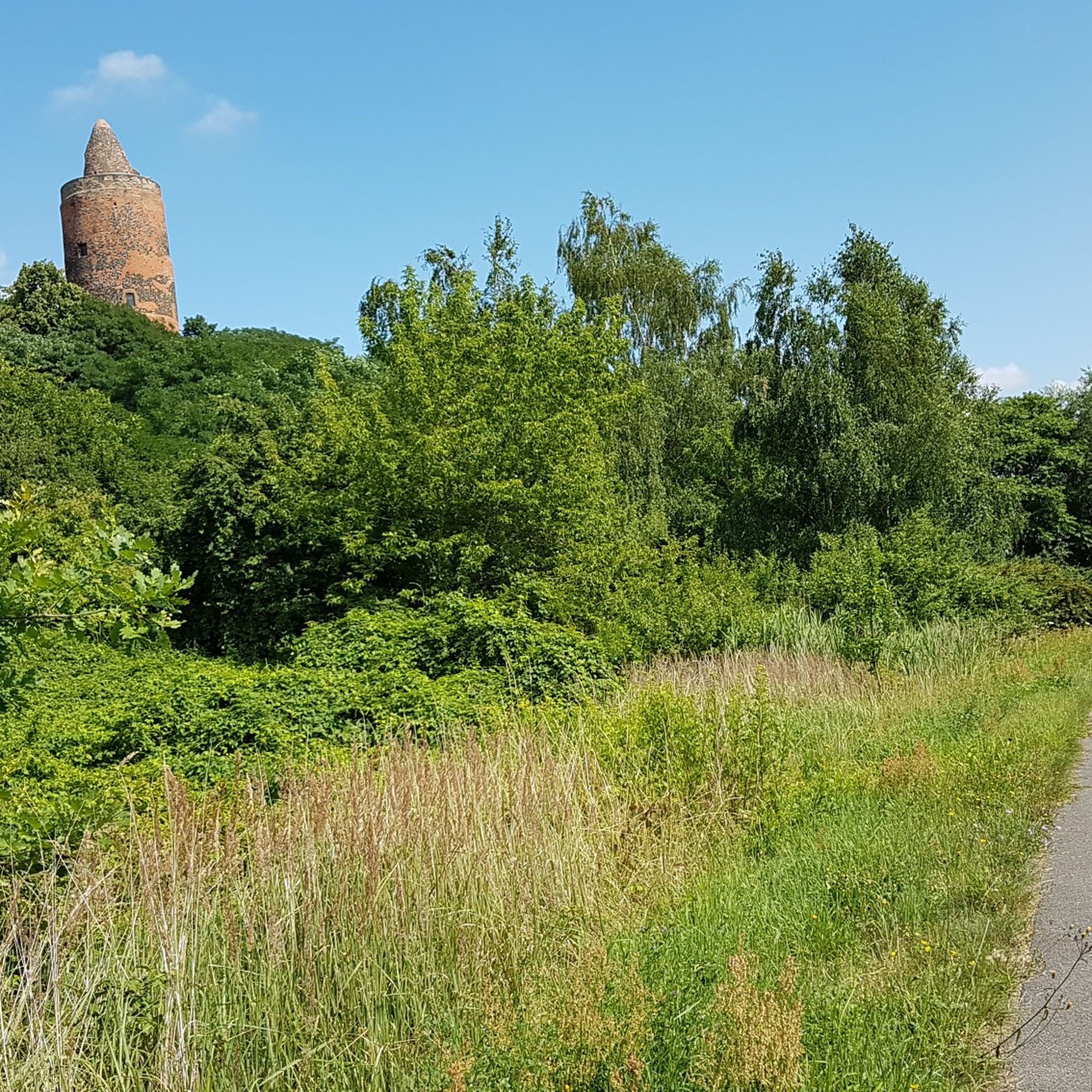
Absolutely. Touring cycling routes in Anhalt-Bitterfeld often pass by significant historical and cultural landmarks. Along the Elbe Cycle Path, you can encounter historic buildings, castles, and palaces. Notable attractions include the Burgkemnitz Castle, Walternienburg Castle, and the Zörbig Castle Keep. The nearby Dessau-Wörlitz Garden Realm, a UNESCO World Heritage site, also offers beautiful cycling routes through its unique cultural landscape.
Are there circular touring cycling routes in Anhalt-Bitterfeld?
Yes, many touring cycling routes in Anhalt-Bitterfeld are designed as circular loops, making planning easier. Examples include the popular Great Goitzsche Lake – Großer Goitzschesee Gauge Tower loop from Bitterfeld and the View of the Mulde River – Mulde Bridge at Muldestausee loop from Bitterfeld, which takes you through the Mulde River valley.
What do other touring cyclists enjoy about cycling in Anhalt-Bitterfeld?
The touring cycling routes in Anhalt-Bitterfeld are highly rated by the komoot community, with an average score of 4.6 stars from over 7500 reviews. Cyclists often praise the well-maintained paths, the diverse landscapes ranging from serene river floodplains to redeveloped industrial areas around lakes, and the opportunities to combine nature exploration with cultural sights.
Are there any long-distance or themed cycling routes in the region?
Yes, Anhalt-Bitterfeld is integrated into major national and European cycling routes. The renowned Elbe Cycle Path traverses the region, offering breathtaking views along the river. Additionally, sections of the European Cycle Route R1 (D-Route 3) pass through, connecting the area to broader landscapes. The 'Coal, Steam, Light, Lakes' Cycle Route is a thematic option highlighting the region's transformation from an industrial past to beautiful recreational areas, particularly around Goitzsche Lake.
Are there good viewpoints on the touring cycling routes?
Yes, several routes offer excellent viewpoints. Around Goitzsche Lake, the 26-meter-high water level tower, accessible via a pontoon bridge, provides panoramic views of the redeveloped landscape. Routes along the Elbe and Mulde rivers also offer picturesque vistas of the water and surrounding nature. For example, the Pretzien Weir – Elbe Railway Bridge, Barby loop from Güterglück offers views of the Elbe.
Are touring cycling routes in Anhalt-Bitterfeld accessible by public transport?
While specific public transport connections to every trailhead are not detailed, many towns in Anhalt-Bitterfeld, such as Bitterfeld, Köthen, and Zerbst, serve as popular starting points for tours and are generally well-connected by regional public transport. It's advisable to check local transport schedules for specific route access.
Most popular routes in Anhalt-Bitterfeld
Most popular attractions in Anhalt-Bitterfeld

Get inspired with the komoot mobile app


Didn’t find what you were looking for?
Check out more Cycling routes throughout Anhalt-Bitterfeld below and find the perfect route in your destination.
Explore more
Browse the best Cycling routes in other regions.
