The best road cycling routes around Angomont
4.7
(27)
770
riders
85
rides
Road cycling around Angomont features routes characterized by significant elevation changes, including several mountain passes and scenic loops within the Vosges mountains. The region's terrain offers a mix of climbs and descents, often passing by natural features like dams and lakes. Road cyclists can expect varied landscapes, from forested sections to open areas with panoramic views. The routes provide opportunities for both moderate and challenging rides, catering to different fitness levels.
Best road cycling routes around Angomont
- The most popular…
Last updated: May 25, 2026
22
riders
36.4km
01:53
560m
560m
Moderate road ride. Good fitness required. Mostly well-paved surfaces and easy to ride.
16
riders
12.3km
00:37
180m
180m
Easy road ride. Great for any fitness level. Mostly well-paved surfaces and easy to ride.

Sign up for free
15
riders
20.0km
01:00
310m
310m
Moderate road ride. Good fitness required. Mostly well-paved surfaces and easy to ride.
13
riders
54.9km
02:24
490m
490m
Moderate road ride. Good fitness required. Mostly well-paved surfaces and easy to ride.
13
riders
57.6km
02:42
750m
750m
Moderate road ride. Good fitness required. Mostly well-paved surfaces and easy to ride.
Get access to more routes and recommendations from other explorers.
Sign up for free
Already have an account?
Our route recommendations are based on thousands of hikes, rides, and runs completed by other people on komoot.
Start today with a free account
Your next adventure awaits.
Login or Signup

Tips from the Community

The Saint Barthélémy church, built in 1779. The current 3 bells date from 1922 and replace those taken by the Germans in 1917. They are named Louise, Pauline and Joséphine[146]. The church of Luvigny houses the statue of Notre-Dame de la Maix[147], a black virgin in painted wood probably dating from the 18th century. It is listed in the inventory of historical monuments. For a very long time, a procession took place on Corpus Christi day: the virgin of la Maix was carried during a procession going to the lake of la Maix, where mass was celebrated.
0
0
It is located on the left bank of the Meurthe, at number 14 rue Denfert-Rochereau. The Saint-Georges church is the church of La Neuveville-lès-Raon, which merged with Raon-l'Etape in 1947. It was built between 1835 and 1838 according to the plans of the district architect Boucher de Saint-Dié. The church was fitted out in 1894. In 1905 the dome was rebuilt. From 1973 to 1978, major restoration work was carried out, both interior and exterior. Inside, among other things, there is an old statue of Our Lady of Sorrows, a painting of Saint Nicholas, who is also the patron saint of wood-floaters, a painted wooden Christ, and a memorial chapel (1922).
0
0

Beautiful hiking destination, there is also a cycling route
0
0

Beautiful climb and lovely view at the pass - Altitude 728m Restaurants (inns) at the pass
0
0

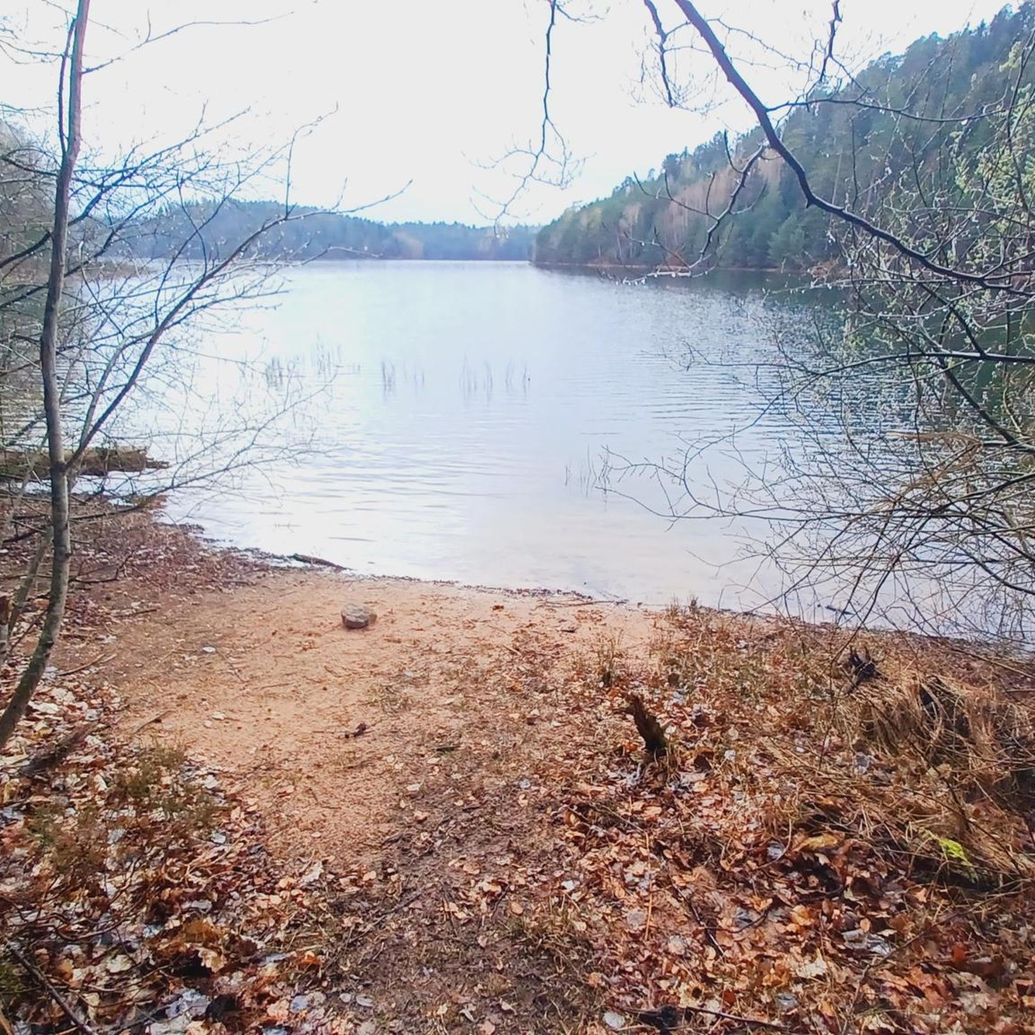
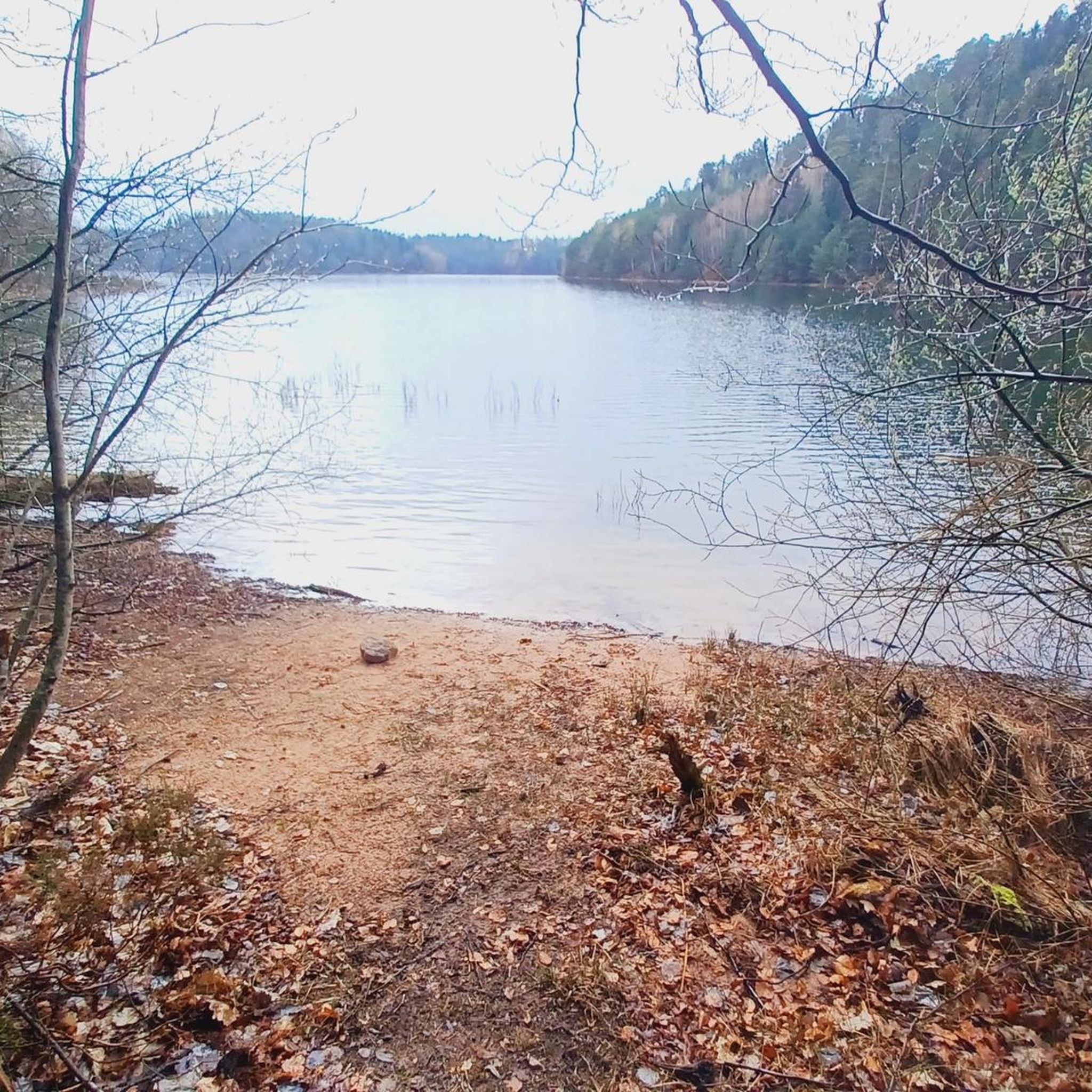
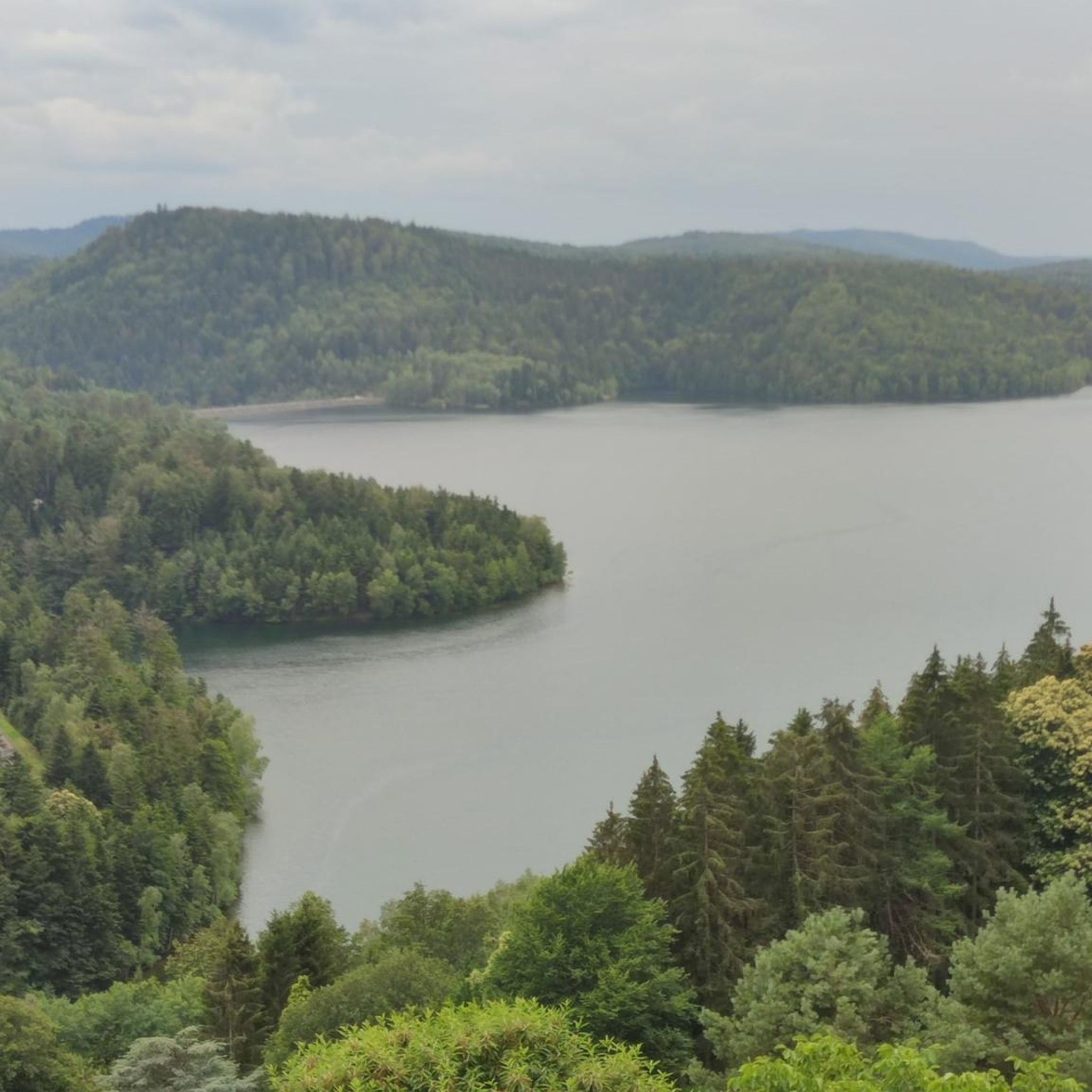
Situated in the heart of the Vosges, this dam, together with Lac de la Plaine, forms an important water reservoir. The dam was built to feed Lac de Pierre-Percée via an underground system. The climb up to it is gradual and rewards you with a view of the peaceful Lac de la Plaine. The road along the lake is ideal for a breather, with little traffic and lots of nature. Perfect for a short break or a photo opportunity during your ride.
9
0
This impressive dam, located in the Vosges, forms an artificial water reservoir together with the Lac de Pierre-Percée. The dam is 69 metres high and 330 metres long, built with a clay core and lined with volcanic rock. It plays an important role in water management and energy production via an underground water connection with the Lac de la Plaine. The surrounding area offers beautiful views and is ideal for hiking along rocky paths, forests and viewpoints over the lake.
7
0
Pierre-Percée is a small mountain village in the east of the Meurthe-et-Moselle department, on the edge of the Vosges Mountains. With fewer than 100 inhabitants, it is one of the smallest communes in the region. Situated on the edge of the Plaine Valley, the village is built at the foot of the ruins of the medieval Château de Pierre-Percée, which once belonged to the Counts of Salm. The village's name refers to a 33-meter-deep well carved into the rock beneath the castle. During the Thirty Years' War, the village, like the castle, was largely destroyed. In the 20th century, Pierre-Percée regained significance with the construction of the EDF reservoir and the creation of a recreation area, which today attracts tourists for hiking, water sports, and nature experiences.
9
0

This memorial commemorates the dead of the First World War as well as the citizens of Pierre-Percée who died in other wars.
1
0
Frequently Asked Questions
What kind of terrain can I expect when road cycling around Angomont?
Road cycling around Angomont is characterized by significant elevation changes, including several mountain passes and scenic loops. You'll encounter a mix of climbs and descents, often passing by natural features like dams and lakes, with landscapes ranging from forested sections to open areas offering panoramic views.
Are there road cycling routes suitable for beginners in Angomont?
Yes, Angomont offers routes suitable for various fitness levels. While the region is known for its elevation changes, there are 8 routes classified as easy. For a moderate option, consider the Vieux-Pré Dam – War Memorial of Pierre-Percée loop from Pierre-Percée, which is 13.8 miles (22.2 km) long and features a manageable 318 meters of elevation gain.
Where can I find challenging road cycling routes for advanced riders in Angomont?
For advanced riders seeking a challenge, Angomont has 11 routes classified as difficult. The region's mountain passes provide significant climbs. A notable route is the Donon Pass – Donon Pass loop from Pierre-Percée, a 29.7 miles (47.8 km) trail with over 700 meters of elevation gain.
Are there any circular road cycling routes in Angomont?
Many of the routes in Angomont are designed as scenic loops. For example, the Chapelotte Pass – Nice climb, nice descent loop from Pierre-Percée is a popular 24.7-mile (39.8 km) circular route featuring a notable climb and rewarding descent.
What are some scenic viewpoints or natural attractions along the road cycling routes?
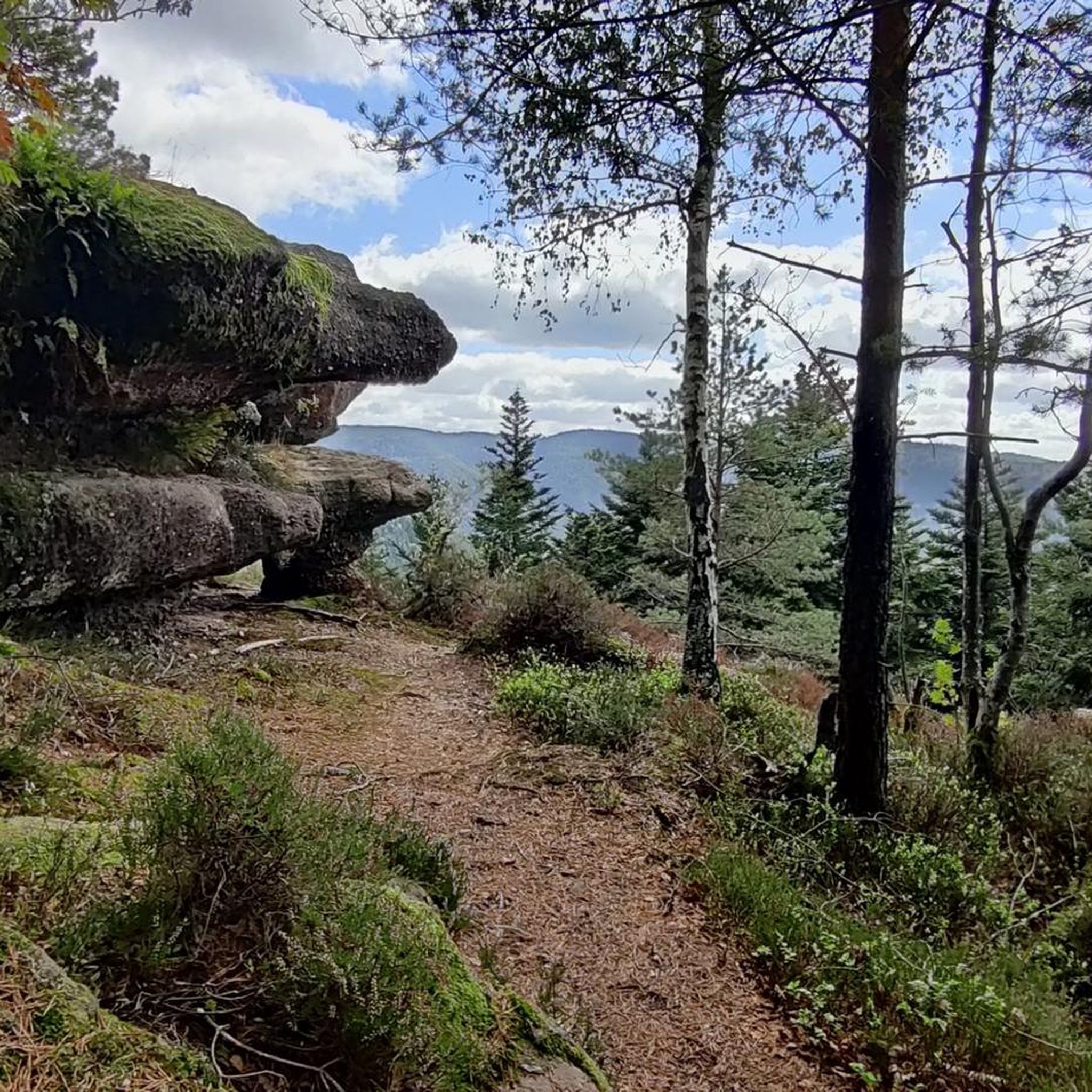
The routes often pass through scenic areas. You can find natural attractions like Lac de la Maix and the Fairies' Rock. For panoramic views, consider routes that pass near Rambiroche or the Roche Mère Henry.
How many road cycling routes are available in the Angomont area?
There are 94 road cycling routes available around Angomont, offering a wide range of options for different skill levels and preferences.
What do other road cyclists enjoy most about road cycling in Angomont?
The road cycling routes in Angomont are highly rated by the komoot community, with an average score of 4.8 stars from over 30 reviews. Cyclists often praise the varied terrain, the challenge of the mountain passes, and the beautiful natural landscapes, including dams and lakes.
Are there any historical landmarks or points of interest along the routes?
Yes, some routes incorporate historical sites. For instance, the Vieux-Pré Dam – War Memorial of Pierre-Percée loop from Pierre-Percée winds past a significant war memorial, offering a blend of natural beauty and historical reflection.
What is the best season for road biking in Angomont?
Given the region's mountain passes and elevation, late spring through early autumn typically offers the most favorable conditions for road cycling in Angomont. During these months, the weather is generally milder, and the roads are clear of snow and ice, making for safer and more enjoyable rides.
Are there any long-distance road cycling routes in Angomont?
While many routes are moderate in length, you can combine several loops or explore longer options. The Donon Pass – Donon Pass loop from Pierre-Percée, at nearly 30 miles (48 km), is one of the longer single routes, providing a substantial ride through a significant mountain pass.
What kind of elevation gains can I expect on Angomont's road cycling routes?
Angomont is known for its significant elevation changes. Even moderate routes like the Lac de la Plaine – War Memorial of Pierre-Percée loop from Pierre-Percée can feature over 440 meters of climbing, while more challenging routes can exceed 700 meters of elevation gain.
Most popular attractions around Angomont

Get inspired with the komoot mobile app


Explore more
Browse the best Road cycling routes in other regions.
