The best walks and hikes around Brémoncourt
4.3
(63)
266
hikers
38
hikes
Hiking trails around Brémoncourt, located in France's Meurthe-et-Moselle department, traverse a varied landscape of rural charm and natural beauty. The area features tranquil ponds, sections along the Canal des Vosges, and extensive wooded areas. With altitudes ranging from 268m to 403m, the terrain includes rolling hills that offer diverse hiking experiences and elevated perspectives of the countryside. This region provides accessible trails and serene natural settings for outdoor exploration.
Best hiking trails around Brémoncourt
- The most popular hiking route is…
Last updated: July 5, 2026
5.0
(4)
19
hikers
11.1km
02:58
120m
120m
Moderate hike. Good fitness required. Easily-accessible paths. Suitable for all skill levels.
13
hikers
Easy hike. Great for any fitness level. Easily-accessible paths. Suitable for all skill levels.

Sign up for free
4.0
(1)
4
hikers
5.34km
01:21
10m
10m
Easy hike. Great for any fitness level. Easily-accessible paths. Suitable for all skill levels.
5.0
(1)
17
hikers
10.3km
02:38
30m
30m
Moderate hike. Good fitness required. Easily-accessible paths. Suitable for all skill levels.
4.0
(1)
5
hikers
8.42km
02:21
160m
160m
Moderate hike. Good fitness required. Easily-accessible paths. Suitable for all skill levels.
Get access to more routes and recommendations from other explorers.
Sign up for free
Already have an account?
Our route recommendations are based on thousands of hikes, rides, and runs completed by other people on komoot.
Start today with a free account
Your next adventure awaits.
Login or Signup
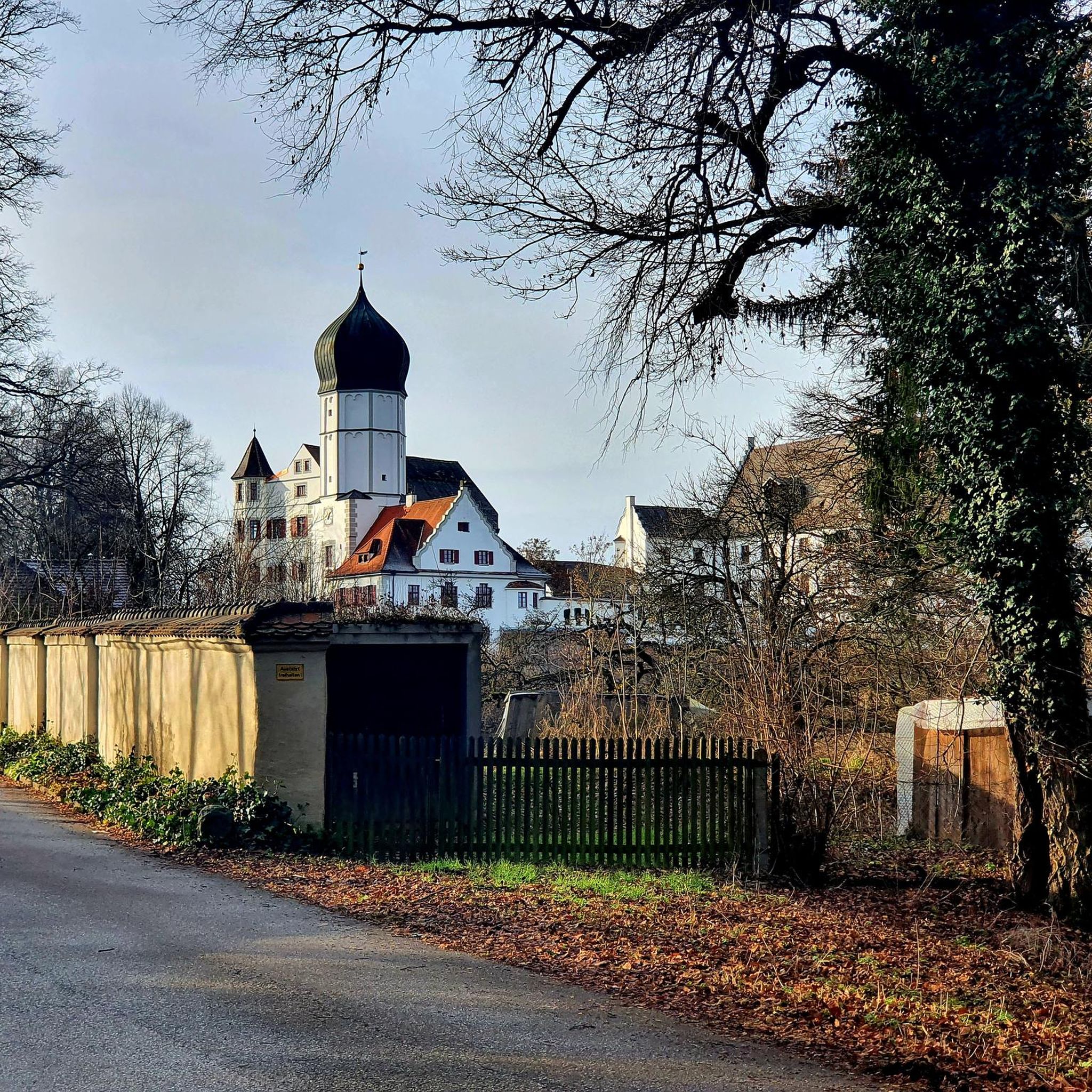
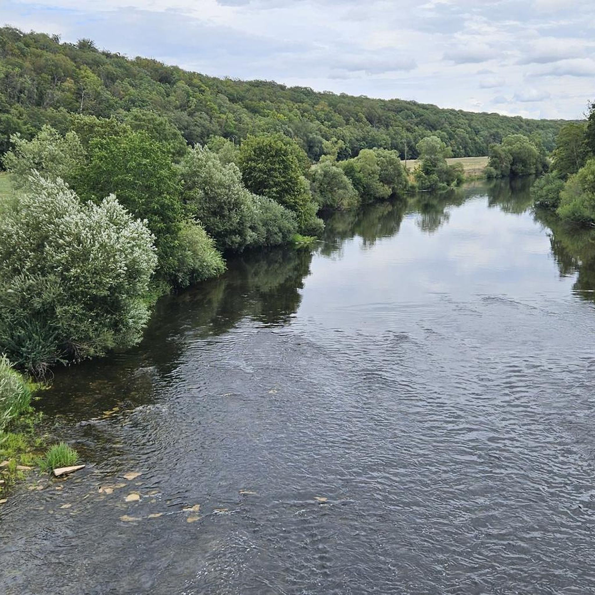
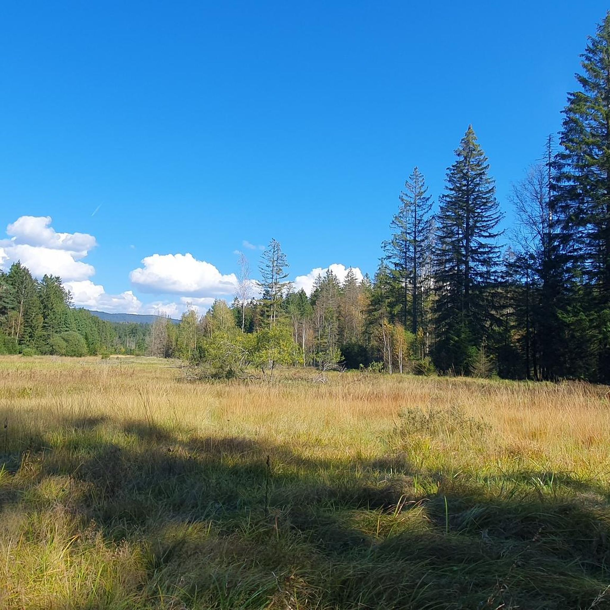
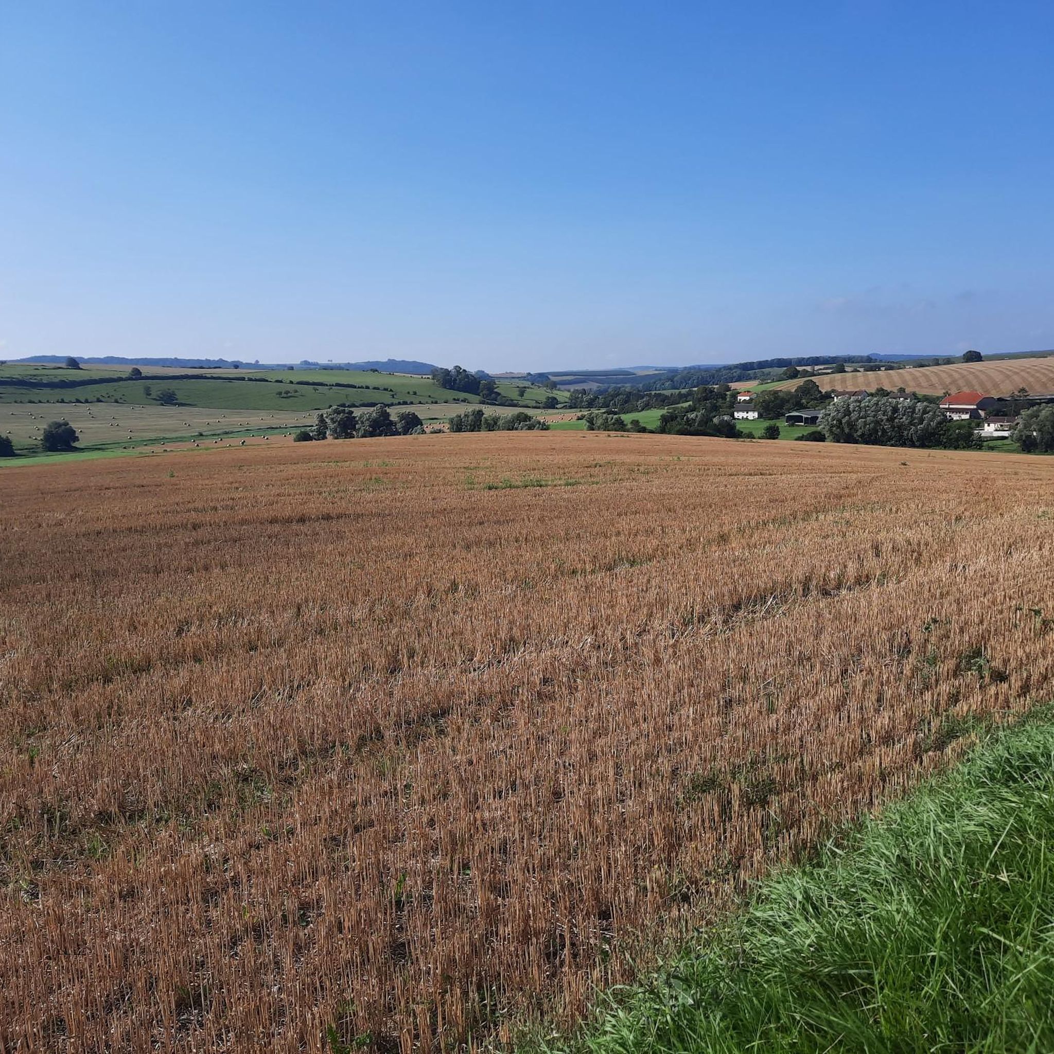
Tips from the Community

An easy walk. Nice for a quick stop. Note the decline of the quays along the Canal des Vosges.
0
0


Beautiful nature reserve directly on the Moselle https://reserves-naturelles.org/reserves/moselle-sauvage/
2
0
Schleuse am Canal des Vosges bei Bainville-aux-Miroirs https://www.reperesdecrues.developpement-durable.gouv.fr/site/barrage-de-bainville
2
0
Cozy restaurant with a beautiful garden directly on the hiking trail
1
0
Covered washing area in Bainville-aux-Miroir
1
0
Covered rest area directly on the hiking trail
2
0
Frequently Asked Questions
How many hiking trails are available around Brémoncourt?
There are over 35 hiking routes around Brémoncourt, offering a variety of experiences for all skill levels. You'll find everything from leisurely strolls to more challenging treks through the diverse landscapes of the Meurthe-et-Moselle department.
What is the general difficulty level of hiking trails in the Brémoncourt area?
The trails around Brémoncourt primarily feature easy and moderate difficulty levels. There are 16 easy routes, perfect for a relaxed outing, and 21 moderate trails for those seeking a bit more challenge. There are no difficult routes listed, making the area accessible to a wide range of hikers.
What do other hikers enjoy most about the trails near Brémoncourt?
The komoot community rates hiking around Brémoncourt highly, with an average score of 4.3 out of 5 stars from over 60 ratings. Hikers often praise the tranquil natural settings, the mix of wooded areas and open countryside, and the opportunities to discover local natural features like the Ponds of the Saussaie de Bayon.
Are there any circular hiking routes available?
Yes, many routes around Brémoncourt are circular, allowing you to start and end at the same point. An example is the Covered Picnic Shelter – Spielplatz loop from Mangonville, which offers a moderate 11 km journey through the local scenery.
Are there family-friendly hiking options around Brémoncourt?
Absolutely! The area offers several easy and shorter routes suitable for families. For a gentle walk, consider the Round trip from the campsite loop from Bayon, which is just over 3 km and has minimal elevation gain, making it ideal for younger hikers.
Can I hike with my dog in Brémoncourt?
Many trails in the Brémoncourt area are suitable for hiking with dogs. While specific leash rules can vary by location, it's generally recommended to keep your dog on a leash, especially in agricultural areas, near livestock, or in nature reserves, to ensure their safety and respect for wildlife and other hikers.
Where can I find scenic viewpoints or natural features on hikes near Brémoncourt?
The region is rich in natural beauty. You can find panoramic views from elevated points like the Minet Pass (349 m). For serene waterside walks, explore routes that pass by the Ponds of the Saussaie de Bayon or along sections of the Canal des Vosges, such as the Channel – Ponds of the Saussaie de Bayon loop from Roville-devant-Bayon.
Are there any trails that explore the Canal des Vosges or local ponds?
Yes, the area features trails that incorporate these beautiful water features. The Channel – Ponds of the Saussaie de Bayon loop from Roville-devant-Bayon is an easy 7 km route that takes you along the canal and past the tranquil ponds, offering a peaceful experience. You can also see the Gripport Lock along the canal.
What is the best time of year to go hiking around Brémoncourt?
The best time to hike around Brémoncourt is typically during spring, summer, and autumn. Spring brings blooming flora, summer offers warm weather for longer days, and autumn provides stunning foliage. The varied landscapes, including wooded areas, make it enjoyable across these seasons, though always check local weather conditions before heading out.
Are there any longer, more challenging hikes for experienced trekkers?
While there are no routes classified as 'difficult', experienced trekkers can combine moderate trails or choose longer routes to extend their adventure. The Nil loop from Damelevières is a moderate 10 km hike with some elevation, offering a good workout and a chance to explore more of the countryside.
Is parking available at the trailheads in the Brémoncourt area?
Parking availability varies by trailhead. Many villages and starting points for hikes, such as Mangonville, Bayon, or Roville-devant-Bayon, typically offer public parking options. It's advisable to check the specific route details on komoot for information on parking at your chosen starting point.
Are there any cafes or restaurants near the hiking trails for refreshments?
While Brémoncourt itself is a small commune, nearby towns like Bayon and Lunéville offer a selection of cafes, restaurants, and pubs where you can refuel after your hike. These towns are generally a short drive from many of the trailheads in the area.
Most popular attractions around Brémoncourt

Get inspired with the komoot mobile app


Explore more
Browse the best Hikes in other regions.
