The best walks and hikes around Saint-Étienne-Du-Vigan
4.4
(256)
1,949
hikers
99
hikes
Hiking around Saint-Étienne-Du-Vigan offers diverse terrain in the Haute-Loire department of France. The commune is situated at an elevation ranging from 872 to 1,164 meters, providing varied landscapes. The region features the Allier River and views of Lac de Naussac, with well-maintained paths suitable for different hiking levels. The area's elevated position contributes to its scenic hiking opportunities.
Best hiking trails around Saint-Étienne-Du-Vigan
- The most popular hiking route is Bivouac possible in the forest – Fagette Rock loop from Saint-Étienne-du-Vigan…
Last updated: June 30, 2026
5.0
(1)
21
hikers
Moderate hike. Good fitness required. Easily-accessible paths. Suitable for all skill levels.
5.0
(3)
15
hikers
10.5km
02:42
40m
40m
Moderate hike. Good fitness required. Easily-accessible paths. Suitable for all skill levels.

Sign up for free
5.0
(3)
5
hikers
5.31km
01:28
90m
90m
Easy hike. Great for any fitness level. Easily-accessible paths. Suitable for all skill levels.
4.0
(3)
10
hikers
7.51km
02:10
190m
190m
Moderate hike. Good fitness required. Easily-accessible paths. Suitable for all skill levels.
5.0
(1)
5
hikers
8.75km
02:32
210m
210m
Moderate hike. Good fitness required. Easily-accessible paths. Suitable for all skill levels.
Get access to more routes and recommendations from other explorers.
Sign up for free
Already have an account?
Our route recommendations are based on thousands of hikes, rides, and runs completed by other people on komoot.
Start today with a free account
Your next adventure awaits.
Login or Signup

Tips from the Community

It was at this Pradelles gate that the most famous and legendary feat of arms in the history of Pradelles took place on March 10, 1588. At the heart of the wars of religion, a Protestant troop, attempting to seize the city which commanded the passage between the Rhône valley and the town of Puy, was repulsed after a fierce battle at the end of which the captain of the attackers had his helmet. enclosed” by a stone. Nevertheless, Jacques de Chambaud survived and still had the opportunity to distinguish himself in the service of Henri IV, before dying of congestion in 1600.
3
0

Great view of the lake from the road.
1
0

Very nice reservoir with a delicious restaurant and adjacent campsite.
0
0

Pradelles is classified as one of the "Plus beaux villages de France" (Most beautiful villages in France). Pradelles is situated on a ridge between the Loire and Allier valleys.
4
1

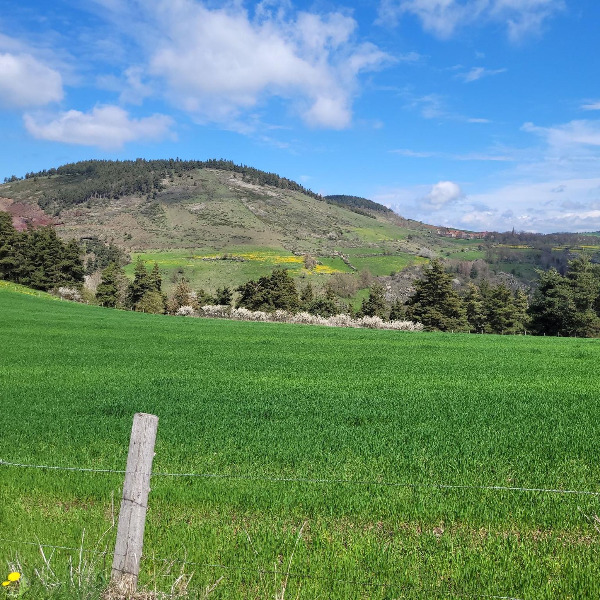
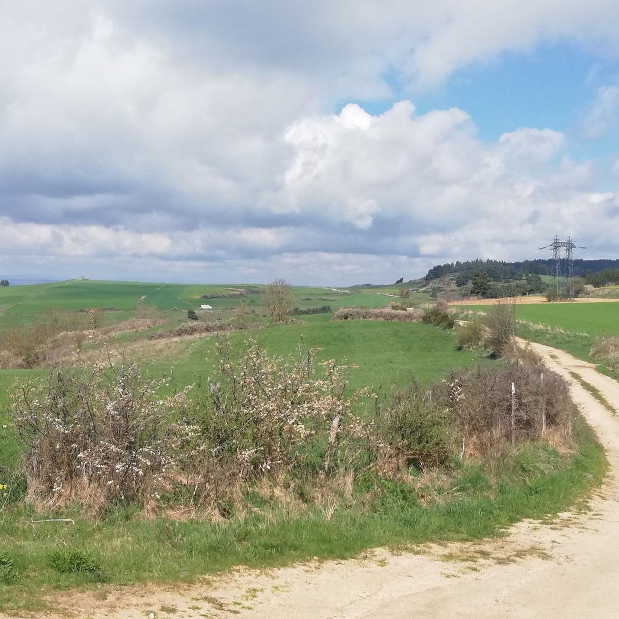
Easy path. Excellent for kids. Small off path section to climb on the hill top. You can find raspberries along the path. Nice view on Pradelles and the Naussac lake.
4
0

Very pretty town, fortified in the 11th century, it still has an old town with a remarkable heritage: Saint-Clément and La Verdette portals, Sainte-Reine fountain, Maison forte du Mazouric, Notre-Dame Romanesque chapel. At an altitude of 1,150 meters, the site offers wonderful panoramas of the Margeride, the Allier, the Naussac reservoir and the Mézenc.
8
0
Frequently Asked Questions
How many hiking trails are available around Saint-Étienne-Du-Vigan?
There are nearly 100 hiking trails in the Saint-Étienne-Du-Vigan area, offering a wide range of options for different skill levels. You'll find 34 easy routes, 48 moderate routes, and 16 difficult trails to explore.
What kind of terrain can I expect on hikes in Saint-Étienne-Du-Vigan?
The terrain around Saint-Étienne-Du-Vigan is quite varied, with elevations ranging from 872 to 1,164 meters. You can expect well-maintained paths, forest areas, and routes offering views of the Allier River and Lac de Naussac. Some trails, like the Bivouac possible in the forest – Fagette Rock loop, explore woodlands, while others provide open vistas.
Are there any family-friendly hiking options in the region?
Yes, there are several family-friendly options, particularly among the 34 easy routes available. Trails like the Fagette Rock loop from Les Uffernets, which is 5.3 km long and takes about 1 hour 28 minutes, are suitable for families looking for a less strenuous walk through varied terrain.
Can I find circular walks around Saint-Étienne-Du-Vigan?
Many of the trails in the area are circular, allowing you to start and end at the same point. Examples include the popular Bivouac possible in the forest – Fagette Rock loop from Saint-Étienne-du-Vigan and the scenic View of Lac de Naussac – Lake Naussac loop from Naussac.
What natural features or landmarks can I see while hiking?
The region is rich in natural beauty and charming villages. You can enjoy views of the Allier River and the expansive Lac de Naussac. The area also features the small, scenic Cascade du Donozau. Additionally, you might encounter historical sites like the Besset Gate or the charming village of Pradelles, recognized as one of France's 'Most Beautiful Villages'.
Are there any hikes with views of Lac de Naussac?
Absolutely. The View of Lac de Naussac – Lake Naussac loop from Naussac is a moderate 11.7 km trail specifically designed to offer expansive views of the lake. Another 'Petite boucle du lac' near Chastanier also includes sections along the lake's shores.
What do other hikers say about the trails in Saint-Étienne-Du-Vigan?
The routes in Saint-Étienne-Du-Vigan are highly rated by the komoot community, with an average score of 4.5 stars from over 200 reviews. Hikers often praise the varied terrain, the well-maintained paths, and the scenic views of the elevated landscapes, the Allier River, and Lac de Naussac.
Are there any historical or cultural sites accessible via hiking trails?
Yes, several trails can lead you to or near charming historical sites. For instance, the Porte de la Verdette – Pradelles loop from Mont Faget takes you towards Pradelles, a 'Most Beautiful Village' of France. Other highlights include the Chapel of Our Lady at Saint James Hospital and the Saint-Pierre Church.
What is the best time of year to go hiking in Saint-Étienne-Du-Vigan?
Given the region's elevated terrain and proximity to the Nordic area of Chavade, hiking is generally excellent during the warmer months, from spring through autumn. These seasons offer pleasant temperatures and lush landscapes. While winter activities are possible in the higher elevations, many hiking trails are best enjoyed when free of snow and ice.
Are there any trails that pass by castles or ancient ruins?
While not directly within Saint-Étienne-Du-Vigan, the nearby village of Arlempdes, approximately 12 km away, features a ruined castle that adds to the scenic appeal of the area and can be integrated into longer hiking itineraries or visited separately. The Château de Jonchères loop from Rauret is another route that passes by a historical château.
Are dogs allowed on the hiking trails in Saint-Étienne-Du-Vigan?
Generally, dogs are welcome on hiking trails in the French countryside, but it's always recommended to keep them on a leash, especially in areas with livestock or protected wildlife. Specific rules can vary by trail or natural park, so look for local signage. Many komoot users hike with their dogs in this region.
Most popular routes around Saint-Étienne-Du-Vigan
Most popular attractions around Saint-Étienne-Du-Vigan

Get inspired with the komoot mobile app


Explore more
Browse the best Hikes in other regions.
