The best road cycling routes around Brasparts
4.7
(18)
991
riders
19
rides
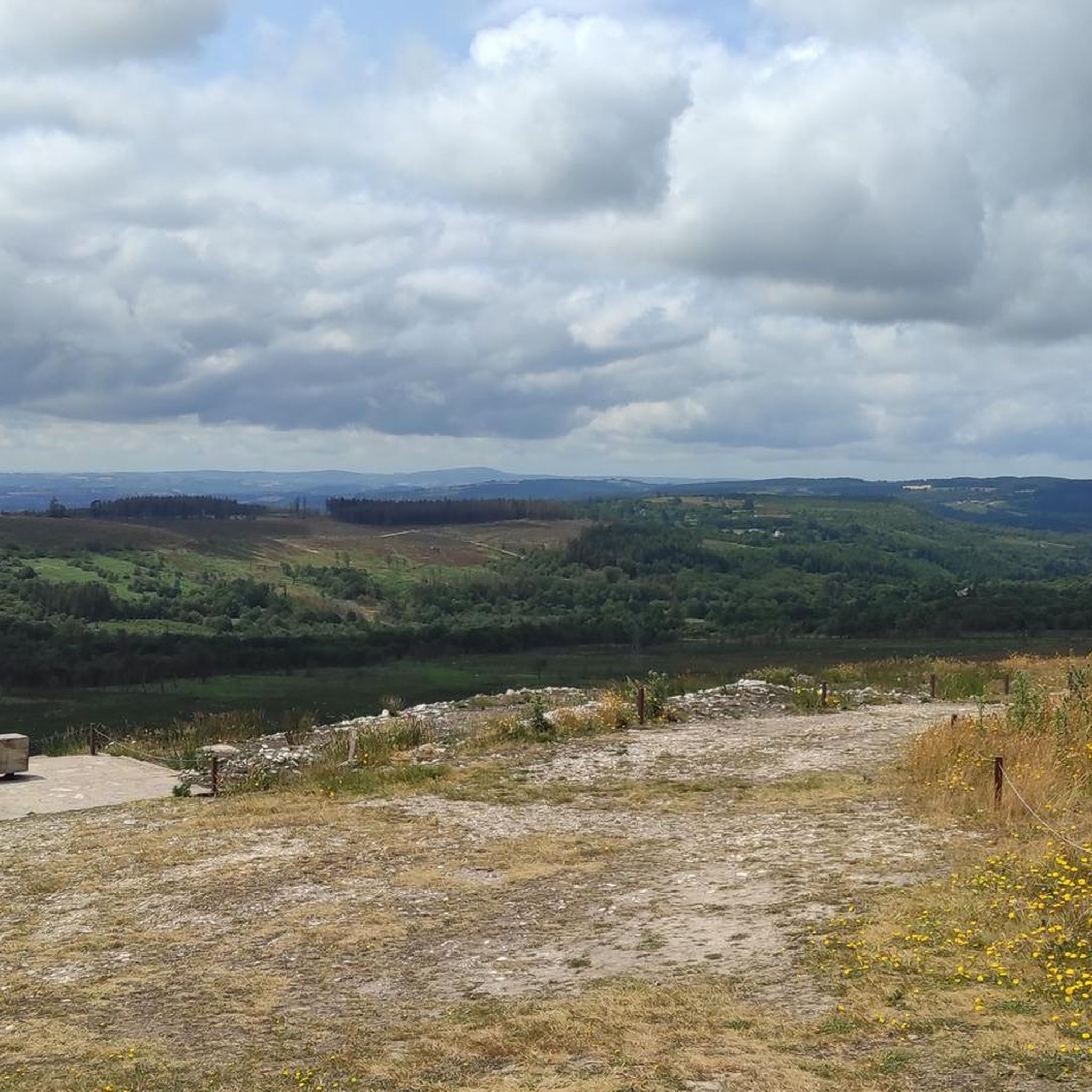
Road cycling around Brasparts offers diverse landscapes within the Monts d'Arrée, part of the Armorique Regional Natural Park. The region features varied terrains, including barren crests, rocky outcrops, moorland, and peat bogs, with elevations reaching up to 330 meters within the commune. Cyclists encounter lush forests, green bocages, and valleys, alongside the scenic Saint-Michel reservoir. This environment provides a range of challenging routes with significant ascents and descents.
Best road cycling routes around Brasparts
- The most popular road cycling route…
Last updated: July 10, 2026
11
riders
71.2km
03:27
940m
940m
Hard road ride. Very good fitness required. Some segments of this route may be unpaved and difficult to ride.
10
riders
69.8km
03:21
1,010m
1,010m
Hard road ride. Very good fitness required. Mostly well-paved surfaces and easy to ride.

Sign up for free
9
riders
87.7km
04:22
1,310m
1,310m
Hard road ride. Very good fitness required. Mostly well-paved surfaces and easy to ride.
11
riders
56.6km
02:59
790m
790m
Moderate road ride. Good fitness required. Some segments of this route may be unpaved and difficult to ride.
9
riders
37.7km
01:48
460m
460m
Moderate road ride. Good fitness required. Mostly well-paved surfaces and easy to ride.
Get access to more routes and recommendations from other explorers.
Sign up for free
Already have an account?
Our route recommendations are based on thousands of hikes, rides, and runs completed by other people on komoot.
Start today with a free account
Your next adventure awaits.
Login or Signup
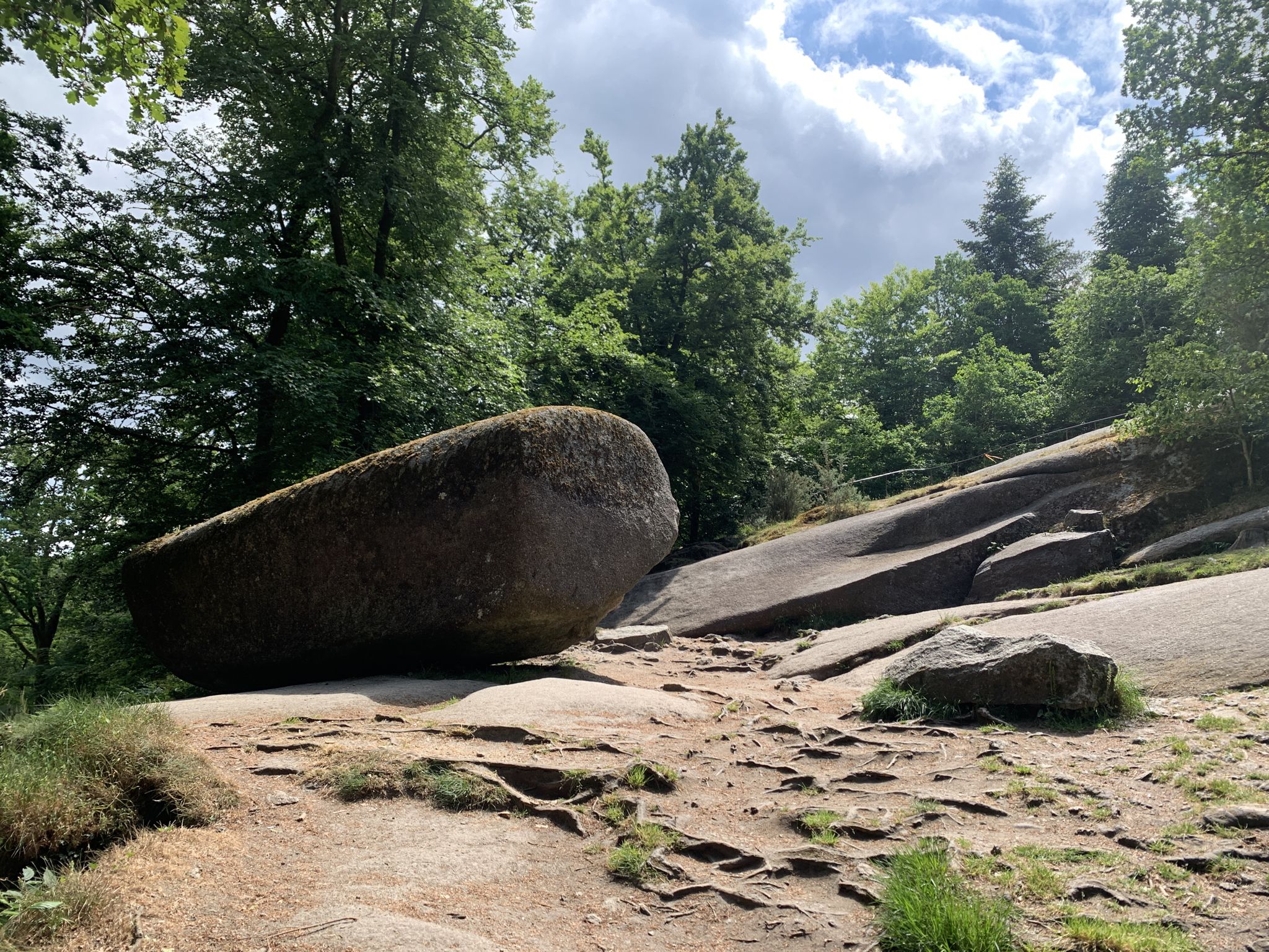
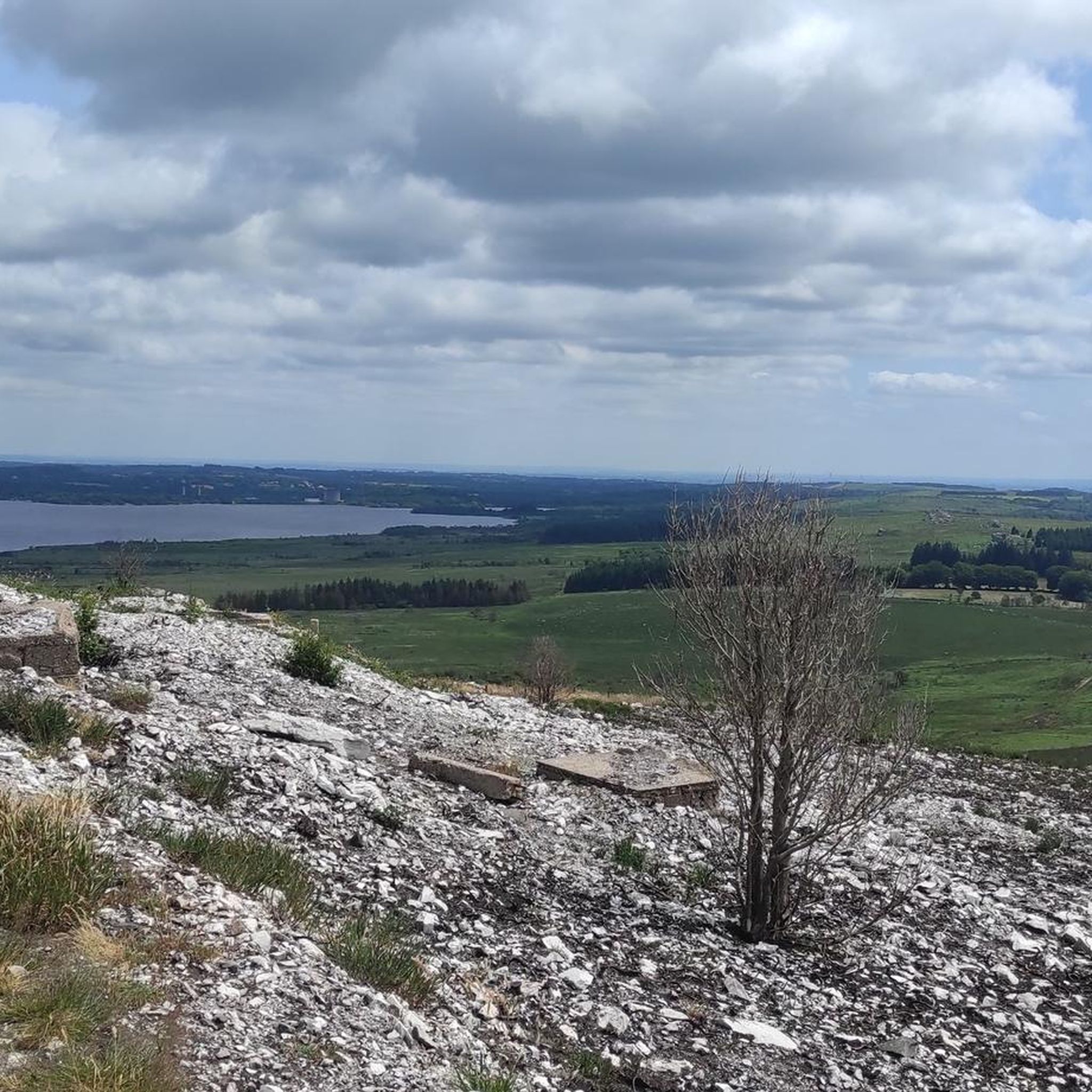
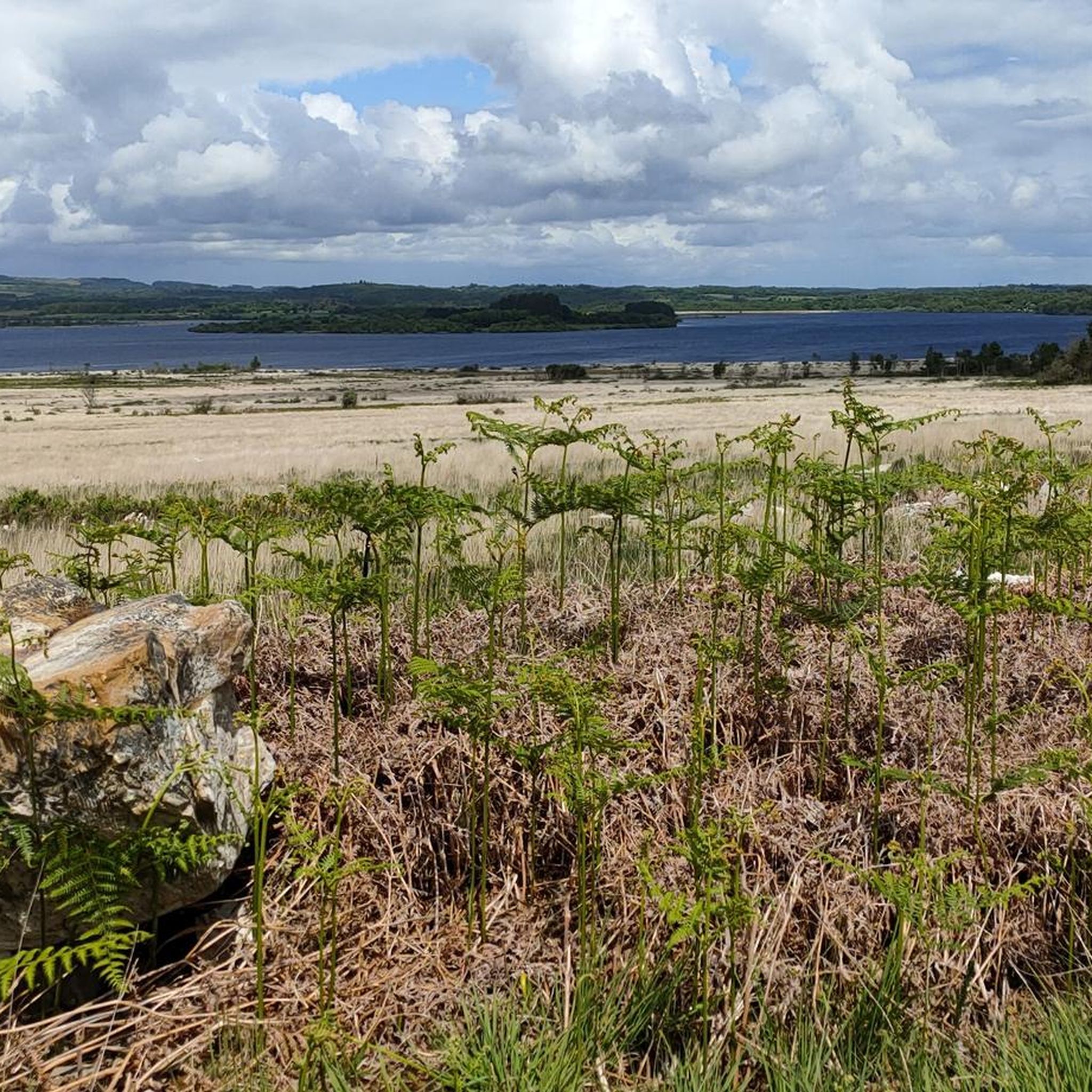
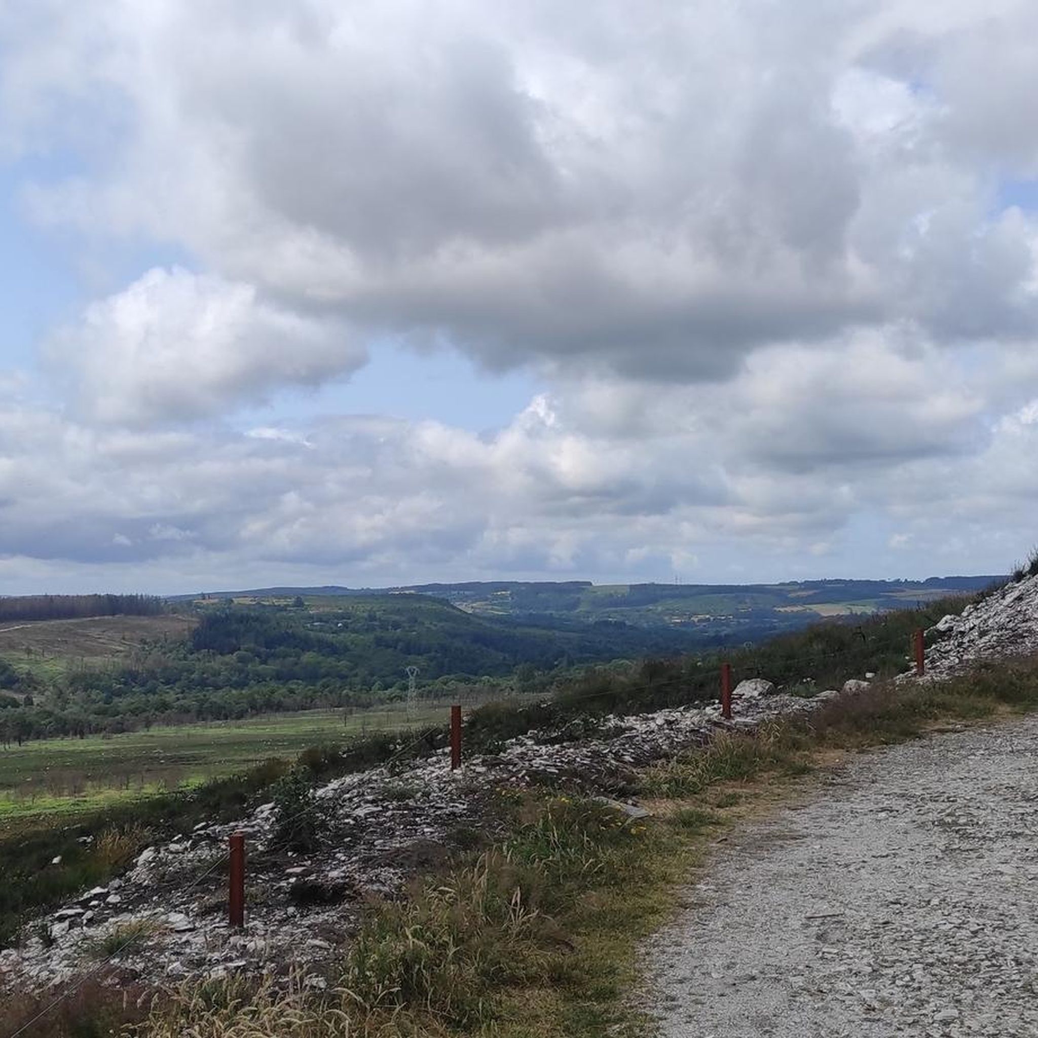

Other adventures around Brasparts

Tips from the Community


This chapel was beautifully restored after the fire in the summer of 2022. This hill offers a lovely view of the Monts d'Arrée.
0
0


The chapel originally dates back to the 17th century. A visit is definitely worth it – the view is simply fantastic!
0
0
Old Quimerc'h Church (Saint-Pierre): It was built in the first half of the 16th century and "abandoned" at the end of the 19th century. In front of the church is a beautiful meadow with a table for resting. Worth seeing.
1
0

Great preparation course at the end of the day
0
0

Frequently Asked Questions
What kind of terrain can I expect on road cycling routes around Brasparts?
Road cycling around Brasparts offers a diverse landscape within the Monts d'Arrée, part of the Armorique Regional Natural Park. You'll encounter varied terrains, including barren crests, rocky outcrops, moorland, and peat bogs, with elevations reaching up to 330 meters. The routes also weave through lush forests, green bocages, and valleys, often providing challenging ascents and descents.
Are there road cycling routes suitable for beginners in Brasparts?
While Brasparts is known for its challenging terrain, with most routes rated moderate to difficult, there are options for various skill levels. The region's diverse landscapes mean that while some routes feature significant elevation gains, others might offer more gentle sections through peaceful countryside. However, the komoot guide primarily features routes requiring at least moderate fitness.
What are some notable natural features or viewpoints I can see while cycling in Brasparts?
The region is rich in natural beauty. You can enjoy panoramic views from Mont Saint-Michel of Brasparts, overlooking the surrounding Monts d'Arrée and the vast Yeun Elez peat bogs. The scenic Saint-Michel reservoir, an artificial lake, also forms part of the northern limit of Brasparts and offers beautiful vistas along many routes.
Are there any long-distance road cycling routes available from Brasparts?
Yes, Brasparts serves as a starting point for several longer routes. For instance, the Châteaulin – Iroise Bridge loop from Brasparts is a challenging 202.9 km route. Additionally, the GR 380, a 280 km loop around the Monts d'Arrée, includes a coastal section and is suitable for two-wheelers, offering an extensive cycling experience.
What historical or cultural sites can I explore near the road cycling routes?
The area around Brasparts is dotted with historical and religious sites. You can visit the 16th-century Notre-Dame church in Brasparts itself, or the Saint-Nicolas Church in Port-Launay and the 17th-century Saint-Eloy Church. The nearby settlement of Plounéour-Ménez is also known for its traditional sunken lanes and historic weavers' houses.
What is the best season for road cycling in Brasparts?
The region's character, often likened to Ireland with its misty and windy conditions, suggests that spring, summer, and early autumn generally offer the most pleasant weather for road cycling. These seasons provide a better chance for clearer skies and milder temperatures, allowing you to fully appreciate the diverse landscapes without the challenges of winter conditions.
Are the road cycling routes around Brasparts typically circular?
Many of the road cycling routes around Brasparts are designed as loops, allowing you to start and finish in the same location. For example, the popular Gouffre de Huelgoat Waterfall – The Fairies' Pond loop from Brasparts and the Mont Saint-Michel of Brasparts – Huelgoat Lake loop from Brasparts are both circular routes, making logistics easier for cyclists.
What do other road cyclists say about the routes in Brasparts?
The road cycling routes in Brasparts are highly rated by the komoot community, with an average score of 4.5 stars from over 5 reviews. Cyclists often praise the challenging nature of the Monts d'Arrée, the breathtaking views of valleys and the Saint-Michel lake, and the diverse scenery that includes lush forests and green bocages.
Are there any routes that pass by waterfalls or lakes?
Yes, several routes incorporate water features. The Gouffre de Huelgoat Waterfall – The Fairies' Pond loop from Brasparts specifically highlights a waterfall. Additionally, the Mont Saint-Michel of Brasparts – Huelgoat Lake loop from Brasparts takes you past the scenic Huelgoat Lake, offering beautiful waterside views.
How many road cycling routes are available in the Brasparts region?
There are over 15 road cycling routes available in the Brasparts region on komoot, catering to various preferences. These routes range in difficulty from moderate to difficult, ensuring a suitable challenge for many road cyclists.
Can I find routes that explore both natural landscapes and historical sites?
Absolutely. The region is perfect for combining natural exploration with historical discovery. The Saint-Pierre Church Ruins – Cranou Forest loop from Brasparts is a prime example, leading you through both lush forests and significant historical sites, offering a rich and varied cycling experience.
What kind of elevation changes should I expect on the road cycling routes?
Given that Brasparts is nestled within the Monts d'Arrée, you should expect significant elevation changes. The region is characterized by 'medium mountains,' meaning routes often feature demanding ascents and descents. For example, the Roadbike loop from Brasparts includes over 1000 meters of elevation gain, providing a challenging workout.
Most popular attractions around Brasparts

Get inspired with the komoot mobile app


Explore more
Browse the best Road cycling routes in other regions.
