The best running trails around Gentelles
4.1
(70)
5,342
runners
283
runs
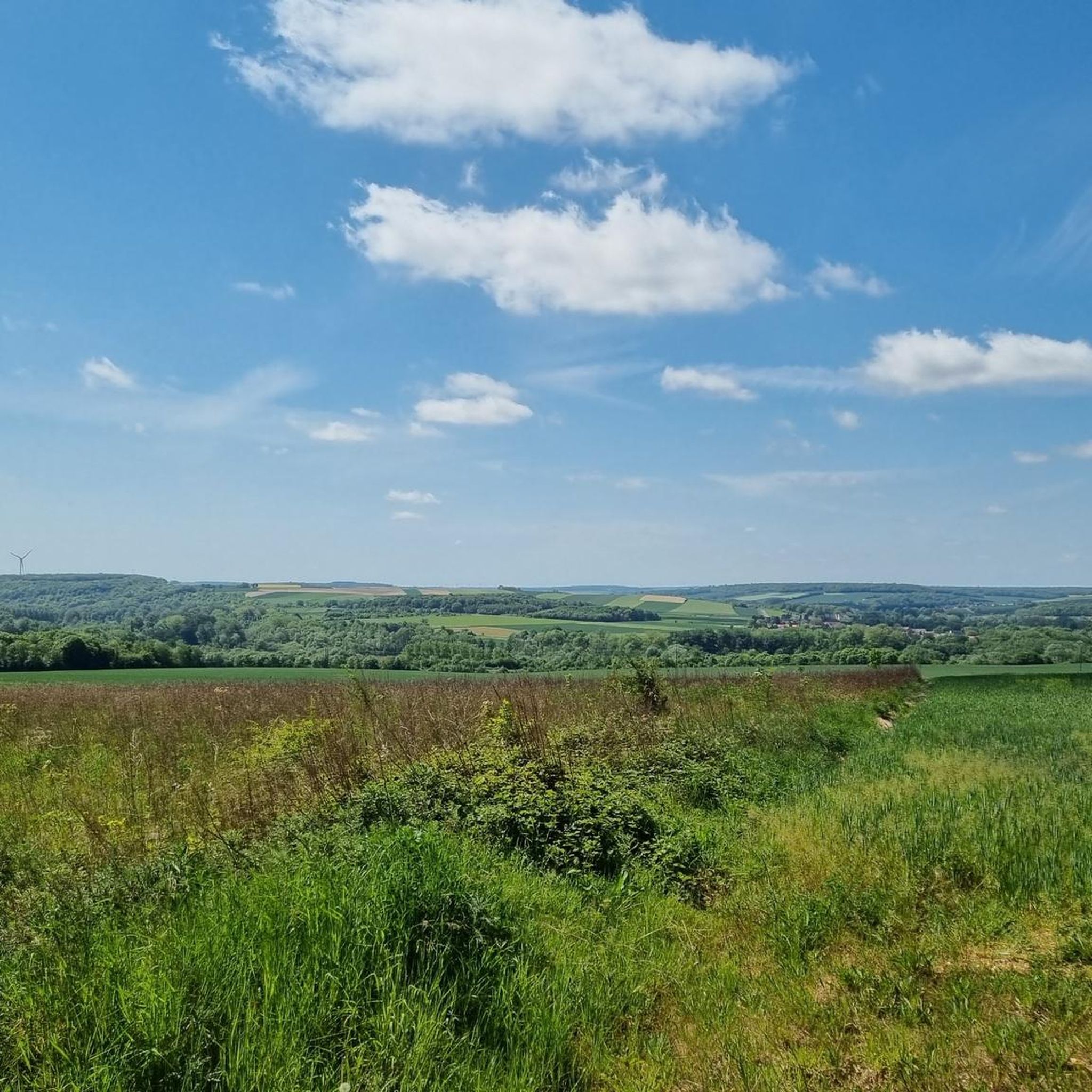
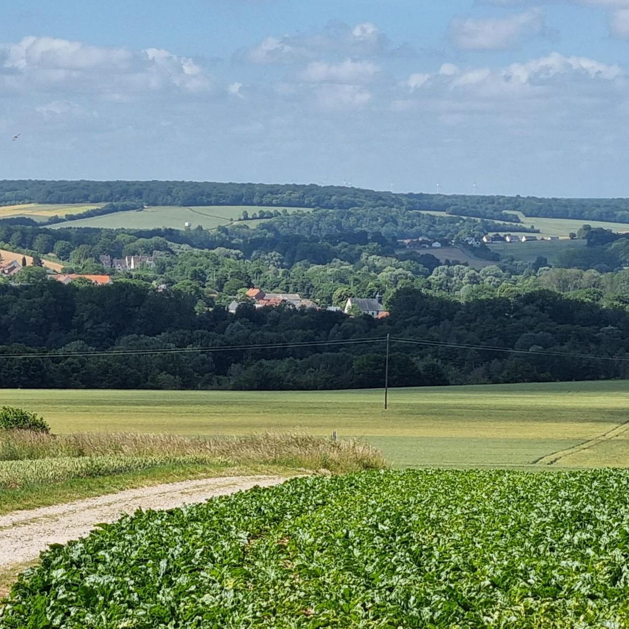
Jogging routes around Gentelles offer diverse and accessible natural landscapes within the Somme department. The terrain is characterized by a mix of riverside paths, open fields, and wooded sections, providing varied scenery for runners. The generally flat topography, influenced by the River Somme, makes many running routes suitable for a consistent experience. This environment is beneficial for physical activity, with trails catering to various fitness levels.
Best jogging routes around Gentelles
- The most popular jogging route is Downhill Chemin Vers…
Last updated: June 29, 2026
84
runners
28.8km
03:30
420m
420m
Hard run. Very good fitness required. Mostly paved surfaces. Suitable for all skill levels.
44
runners
17.5km
02:09
240m
240m
Hard run. Very good fitness required. Sure-footedness, sturdy shoes and alpine experience required.

Sign up for free
23
runners
10.6km
01:08
50m
50m
Moderate run. Good fitness required. Mostly paved surfaces. Suitable for all skill levels.
13
runners
13.6km
01:27
70m
70m
Moderate run. Good fitness required. Mostly paved surfaces. Suitable for all skill levels.
12
runners
11.6km
01:21
120m
120m
Moderate run. Good fitness required. Mostly paved surfaces. Suitable for all skill levels.
Get access to more routes and recommendations from other explorers.
Sign up for free
Already have an account?
Our route recommendations are based on thousands of hikes, rides, and runs completed by other people on komoot.
Start today with a free account
Your next adventure awaits.
Login or Signup


Tips from the Community

Site managed by the Conservatoire d'Espaces Naturels des Hauts de France (Hauts-de-France Regional Nature Reserve). A wide, stabilized gravel path, open to the public, is maintained and marked with signposts. Since 2012, an audio guide has allowed you to explore the nature reserve with a "virtual guide." QR codes placed along the path allow you to play the audio clips using your smartphone. This audio guide is available in three languages (French, English, and Dutch). https://www.cen-hautsdefrance.org/rnn-l-etang-saint-ladre
0
0


Good Gravel spot, even better out of season
0
0

Very quiet and very pretty place, where you can walk or even relax with a magnificent view of the Saint Landre pond and even of the small swamps and their animals
0
0
Very nice section, cut off from the road which runs along the river and takes us to Boves. To be done by bike, on foot or by running.
0
0
Technique uphill and downhill... Notched tires essential, especially when it's wet.
1
0
Go down with caution because it is chalk and crevasse. Very nice climb to do but take it well ;)
2
0
As the title indicates, descent on the way to the entrance of Boves. It is a fairly steep descent and what makes it special and where you have to be careful on the descent, are the crevasses that are there. It is quite slippery because it is a dirt road, with stones but also chalk. And chalk on a bike is slippery. ;) So be careful.
2
1
Frequently Asked Questions
How many running routes are available around Gentelles?
There are nearly 300 running routes available around Gentelles, catering to various fitness levels. The komoot community has explored over 290 different trails in the area.
What kind of terrain can I expect on the jogging trails near Gentelles?
The terrain around Gentelles is quite varied, offering a mix of riverside paths, open fields, and wooded sections. The region's generally flat topography, influenced by the River Somme, makes many routes accessible and suitable for a consistent running experience, with occasional small hills for added challenge.
Are there any easy running routes suitable for beginners in Gentelles?
Yes, Gentelles offers a good selection of easy running routes perfect for beginners. There are 45 identified easy trails, including shorter walking routes like the "Petit tour de chauffe" (2 km) mentioned in local guides, which are ideal for casual jogs or warm-ups.
Can I find circular running routes in the Gentelles area?
Yes, many of the running routes around Gentelles are circular. For example, the popular Downhill Chemin Vers Boves loop from Boves and the Saint Ladre Pond – Saint Ladre Pond loop from Boves are both loop trails, allowing you to start and finish at the same point.
What are some interesting sights or landmarks I might encounter while running near Gentelles?
While running near Gentelles, you might encounter various points of interest. Routes can lead you past natural features like the Saint-Ladre Pond Nature Reserve or the Saint-Ladre Pond itself. Depending on your chosen route, you could also be near historical sites like Notre-Dame d'Amiens Cathedral or the unique The Hortillonnages.
Are the running trails around Gentelles suitable for families?
Yes, many of the trails around Gentelles are suitable for families, especially the shorter and flatter routes. The diverse and accessible natural landscapes, including open fields and riverside paths, provide a pleasant environment for family outings. Look for routes categorized as 'easy' for the most family-friendly options.
Can I bring my dog on the jogging paths in Gentelles?
Generally, dogs are welcome on many outdoor trails in France, especially in rural areas like Gentelles. However, it's always advisable to keep your dog on a leash, particularly when passing through agricultural land or nature reserves, and to respect local signage regarding pet access.
Where can I find parking for the running routes near Gentelles?
While specific parking areas for each route are not detailed, as a commune, Gentelles typically offers public parking options in its village center or near popular trailheads. It's recommended to check local maps or online resources for designated parking spots close to your chosen starting point.
What do other runners say about the trails in Gentelles?
The running routes in Gentelles are highly rated by the komoot community, with an average score of 4.4 stars from over 70 reviews. More than 5,900 runners have used komoot to explore Gentelles's varied terrain, often praising the diverse scenery, from riverside paths to open fields and wooded sections, which makes for an engaging running experience.
Are there longer running routes for experienced runners in the Gentelles region?
Absolutely. For experienced runners seeking extended outings, there are routes over 10 km. A challenging option is the Downhill Chemin Vers Boves loop from Boves, which spans 30.7 km. Other local trails like "Près des bois" (11.7 km) and a 22 km trail "Le long des voies ferrées de Villers-Bretonneux" also cater to longer distances.
What is the typical length of running routes around Gentelles?
The running routes around Gentelles vary significantly in length. You can find shorter routes from approximately 2 km to 6 km, medium-distance trails between 5 km and 10 km, and longer excursions exceeding 10 km, with some reaching up to 30 km. This variety ensures options for all preferences and fitness levels.
How can I find detailed maps or GPX tracks for running in Gentelles?
Many of the marked trails around Gentelles, including those on komoot, offer GPS tracks for easy navigation. You can find detailed route information, including maps and GPX downloads, directly on the individual route pages on komoot, such as for the Running loop from Fouencamps.
What is the best time of year to go running in Gentelles?
Gentelles offers a pleasant environment for running throughout much of the year. Spring and autumn provide mild temperatures and beautiful scenery with changing foliage. Summer can be enjoyable, especially in the mornings or evenings, while winter runs can be invigorating, though some paths might be muddy or require appropriate gear.
Most popular attractions around Gentelles

Get inspired with the komoot mobile app


Explore more
Browse the best Running Trails & Routes in other regions.
