The best running trails around Asprières
4.3
(43)
1,345
runners
152
runs
Jogging around Asprières offers varied landscapes, from river valleys to rolling hills, providing both flat paths and inclined ascents. The region, situated near the Lot and Célé rivers, features diverse terrain with altitudes ranging from 167m to 546m. Numerous marked trails, often utilized for hiking and cycling, are suitable for running, traversing countryside and historical villages. This area provides a mix of natural beauty and cultural interest for runners.
Best jogging routes around Asprières
- The most popular jogging route is…
Last updated: October 30, 2026
14
runners
8.10km
00:51
50m
50m
Moderate run. Good fitness required. Mostly paved surfaces.
17
runners
20.4km
02:33
540m
550m
Hard run. Very good fitness required. Mostly paved surfaces.

4.0
(1)
24
runners
Hard run. Very good fitness required. Mostly runnable paths. Some sure-footedness required.
16
runners
14.0km
01:28
110m
110m
Moderate run. Good fitness required. Mostly paved surfaces.
9
runners
7.15km
00:46
30m
30m
Moderate run. Good fitness required. Mostly paved surfaces.
Get access to more routes and recommendations from other explorers.
Already have an account?
Our route recommendations are based on thousands of hikes, rides, and runs completed by other people on komoot.
Start today with a free account
Your next adventure awaits.
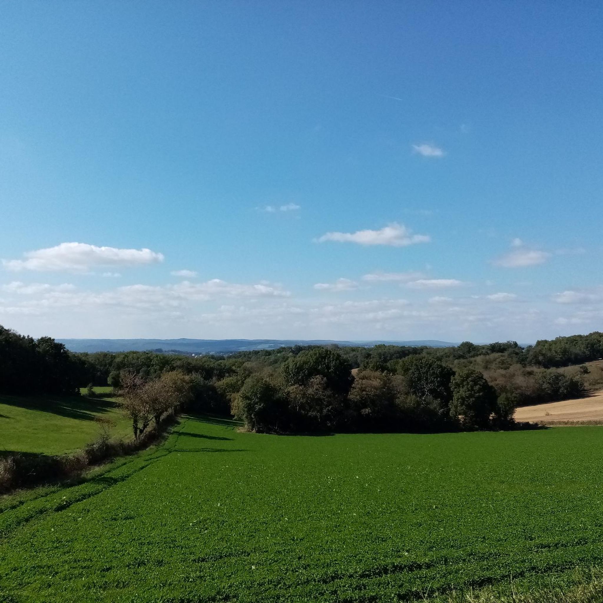
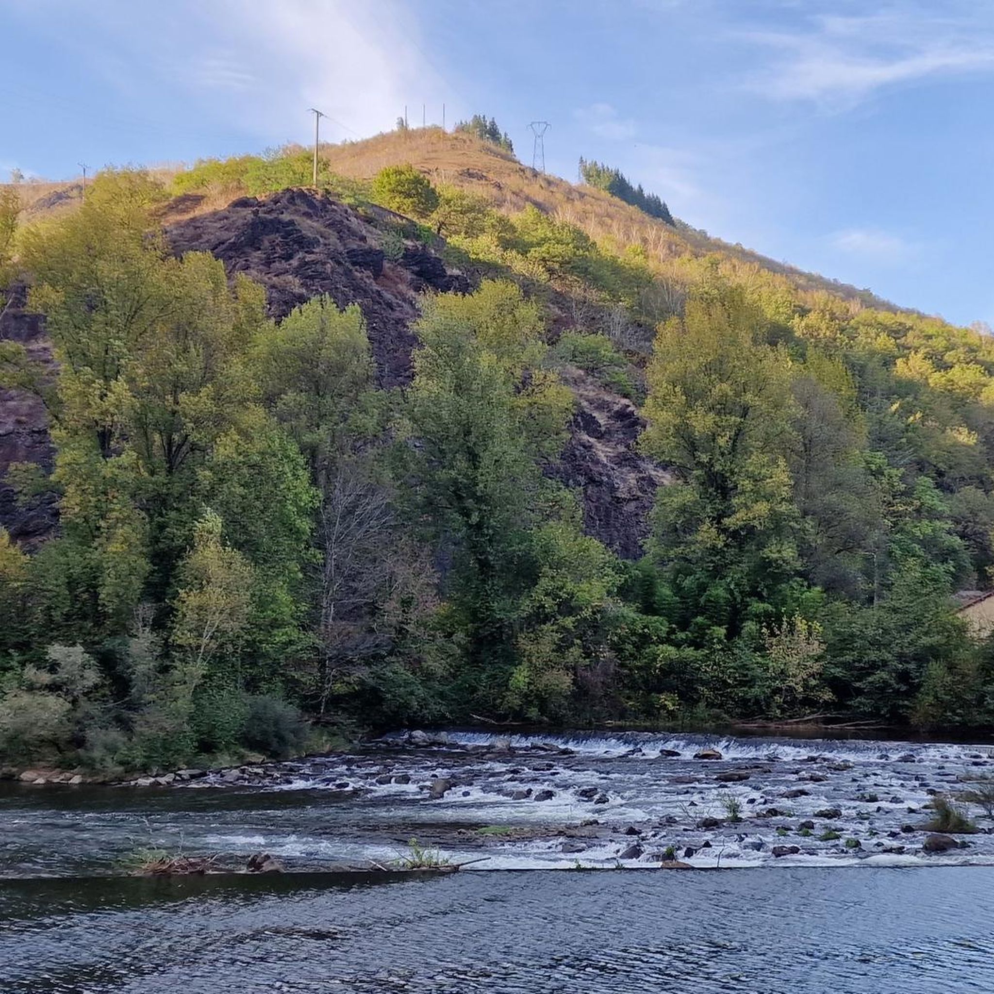
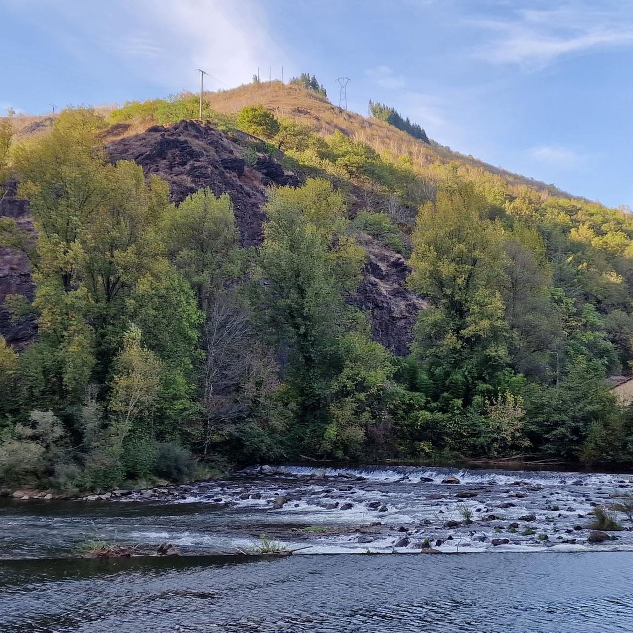
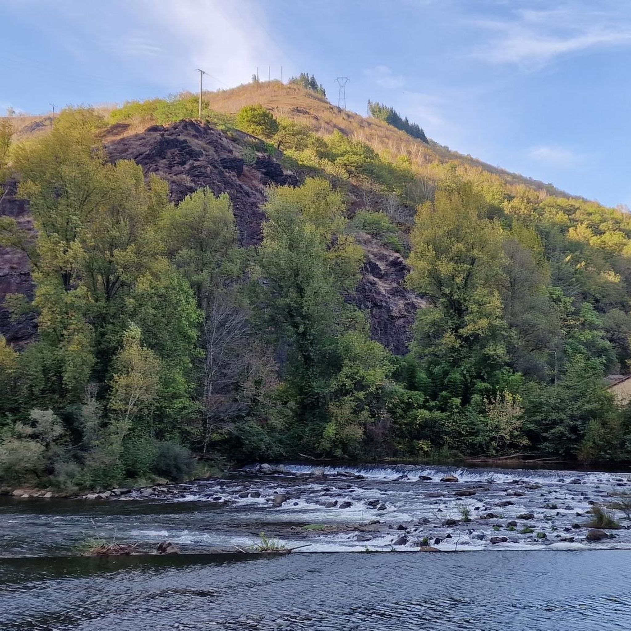
Tips from the Community

The Célé is a river in the south of France which flows through the departments of Cantal and Lot, in the two regions of Occitanie and Auvergne-Rhône-Alpes.
2
0

at the same time a nice shady resting place
0
0

Capdenac-Gare is a pretty town built in the 19th century following the creation of the railway station. Near the Art Deco-style station stands a 28-meter-high replica of the Eiffel Tower.
2
0

This small, very natural section is a delight for gravel enthusiasts. It alternates between thick grassy ground and dirt trails.
1
0

Be sure to plan a full day for Figeac, with its charming half-timbered houses. The Champollion Museum – Les Ecritures du Monde is well worth a visit. It is dedicated to the French explorer who was the first to decipher Egyptian hieroglyphs.
2
0

Memorial to a rider of the Tour de France ...
2
1
A 20 km long section of the Way of St. James, Via Podiensis, runs through the municipality from Montredon to Figeac. Don't miss the Romanesque church of Saint-Jean, a monument historique since 1972.
1
1

Figeac is home to the Champollion museum. Jean Francois Champollion was the decipherer of Egyptian hieroglyphs and was born in Figeac on 23 December 1790. The old town of Figeac has plenty of interesting architecture, numerous restaurants, cafes and hotels.
1
0
Frequently Asked Questions
How many running routes are available around Asprières?
There are over 170 running routes around Asprières, offering a wide variety of options for all skill levels. The komoot community has explored these trails over 1200 times.
What kind of terrain can I expect on the running trails in Asprières?
The running trails in Asprières offer a diverse topography, ranging from river plains to rolling hills. The altitude varies from 167m to 546m, providing both relatively flat paths along river valleys and more inclined ascents through the countryside. You'll find a mix of natural beauty and historical landscapes.
Are there running routes for different fitness levels in Asprières?
Yes, Asprières caters to all fitness levels. You'll find 14 easy routes perfect for a leisurely jog, 108 moderate routes for a good workout, and 51 difficult routes for those seeking a challenging long-distance run or significant elevation gain.
What do other runners say about the trails in Asprières?
The running routes in Asprières are highly rated by the komoot community, with an average score of 4.5 stars from over 30 reviews. Runners often praise the varied terrain, the beautiful river valleys, and the opportunity to explore historical villages.
Are there any easy running routes for beginners in Asprières?
Absolutely. For an accessible option, consider the Running loop from Lasfargue. This moderate 6.1 km (3.8 miles) route has minimal elevation gain, making it a great choice for beginners or those looking for a relaxed run.
Can I find challenging long-distance running trails near Asprières?
Yes, for a more challenging experience, the Le Teil loop from Sonnac is a difficult 18.7 km (11.6 miles) path with significant elevation changes, offering a demanding workout through varied terrain near the village of Sonnac.
Are there circular running routes in the Asprières area?
Many of the running routes around Asprières are circular, allowing you to start and finish in the same location. For example, the popular Running loop from Capdenac-Gare is a 10.6 km (6.6 miles) circular trail that explores the area around Capdenac-Gare.
Are the running routes in Asprières suitable for families?
While specific family-friendly routes are not explicitly detailed, the region's diverse terrain includes easier paths with less elevation, which could be suitable for families. Look for routes marked as 'easy' or 'moderate' with shorter distances, such as the Running loop from Lasfargue, which is relatively flat.
Can I bring my dog on the running trails around Asprières?
Many trails in rural areas of France are dog-friendly, especially if your dog is well-behaved and kept on a leash. However, it's always advisable to check local signage or specific route descriptions for any restrictions, particularly in nature reserves or protected areas.
What are the best times of year for running in Asprières?
Asprières is suitable for outdoor activities throughout much of the year. Spring and autumn generally offer pleasant temperatures for running, with vibrant landscapes. Summer can be warm, so early morning or late afternoon runs are recommended. Winter runs are also possible, though some trails might be muddy after rain.
What historical landmarks or points of interest can I see along the running routes?
The region around Asprières is rich in history. You can run through or near charming historical sites like Faycelles, a UNESCO World Heritage site, or explore the medieval streets of Figeac. The Château de Lacoste loop from Capdenac-Gare, for instance, leads through historical landscapes.
Are there any viewpoints or scenic spots on the running trails?
Yes, the region is known for its picturesque views. The area near the Lot and Célé rivers, particularly around Faycelles, offers 'sumptuous views' that enhance any run. Many trails traverse varied terrain, providing panoramic vistas of the countryside, hamlets, and river valleys.
Is there public transport available to access the running trails in Asprières?
While Asprières is a rural commune, nearby towns like Capdenac-Gare often serve as transport hubs. Some running routes, such as the Running loop from Capdenac-Gare, start directly from locations accessible by public transport, making it convenient for runners without a car.
Most popular attractions around Asprières

Get inspired with the komoot mobile app


Explore more
Browse the best Running Trails & Routes in other regions.
