The best cycling routes around Bellaffaire
4.6
(78)
1,498
riders
36
rides
Touring cycling routes around Bellaffaire traverse the varied landscapes of the Alpes-de-Haute-Provence, characterized by preserved wooded hills and green meadows. The region offers access to roads near Serre-Ponçon Lake and through the Gorges de la Blanche, providing scenic views and diverse terrain. This area features a blend of imposing mountains and gentle Provençal hills, creating a range of cycling opportunities.
Best touring cycling routes around Bellaffaire
- The most popular touring cycling route is Petrifying Waterfall – The turnstiles loop from…
Last updated: August 23, 2026
3.9
(7)
81
riders
38.9km
02:42
720m
720m
Hard bike ride. Very good fitness required. Mostly paved surfaces. Suitable for all skill levels.
4.7
(6)
92
riders
60.6km
04:05
1,060m
1,060m
Hard bike ride. Very good fitness required. Mostly paved surfaces. Suitable for all skill levels.

Sign up for free
3.8
(5)
51
riders
Hard bike ride. Very good fitness required. Mostly paved surfaces. Suitable for all skill levels.
5.0
(2)
25
riders
23.9km
02:17
1,080m
1,080m
Hard bike ride. Very good fitness required. Mostly paved surfaces. Suitable for all skill levels.
4.3
(3)
28
riders
39.3km
03:17
1,280m
1,280m
Hard bike ride. Very good fitness required. Mostly paved surfaces. Suitable for all skill levels.
Get access to more routes and recommendations from other explorers.
Sign up for free
Already have an account?
Our route recommendations are based on thousands of hikes, rides, and runs completed by other people on komoot.
Start today with a free account
Your next adventure awaits.
Login or Signup
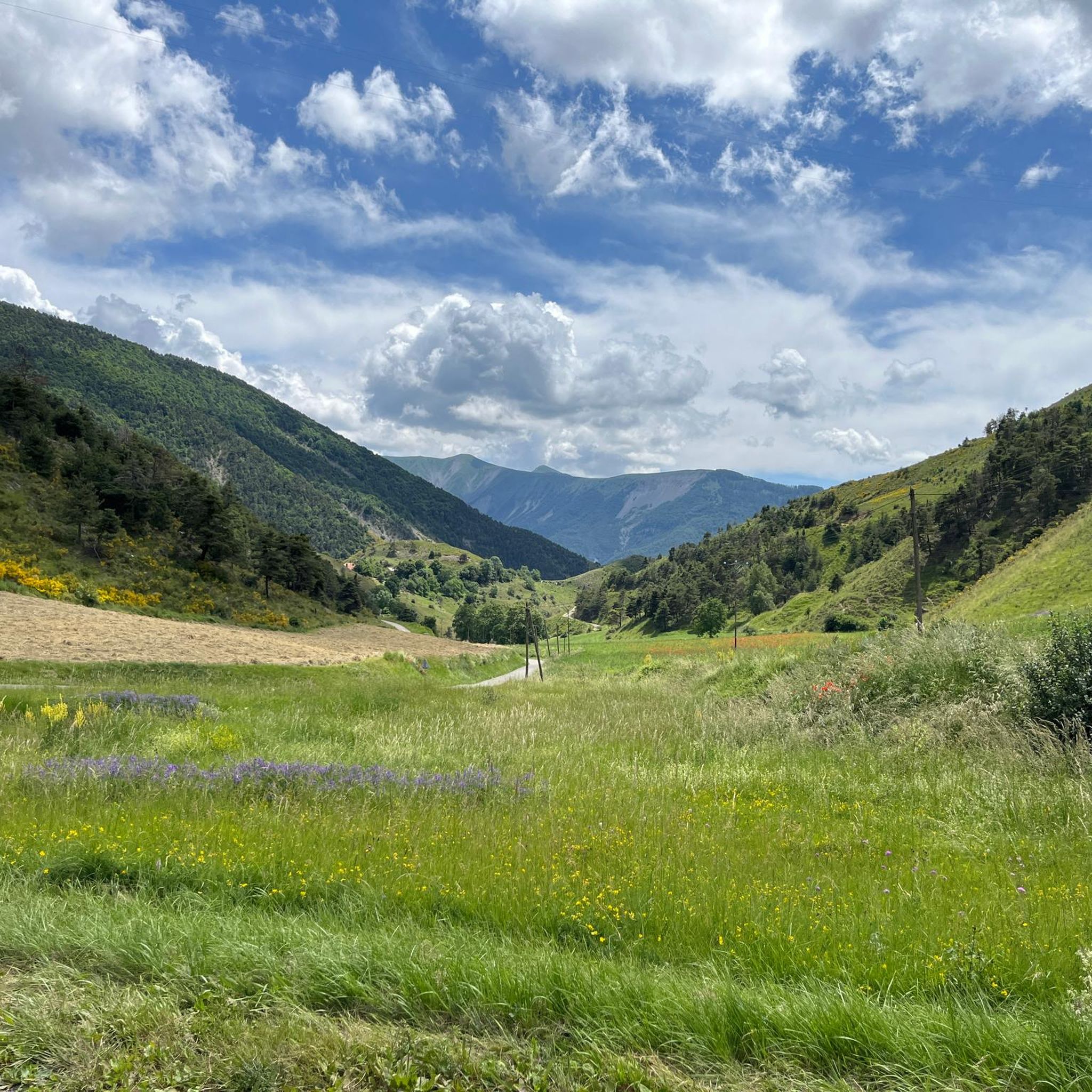
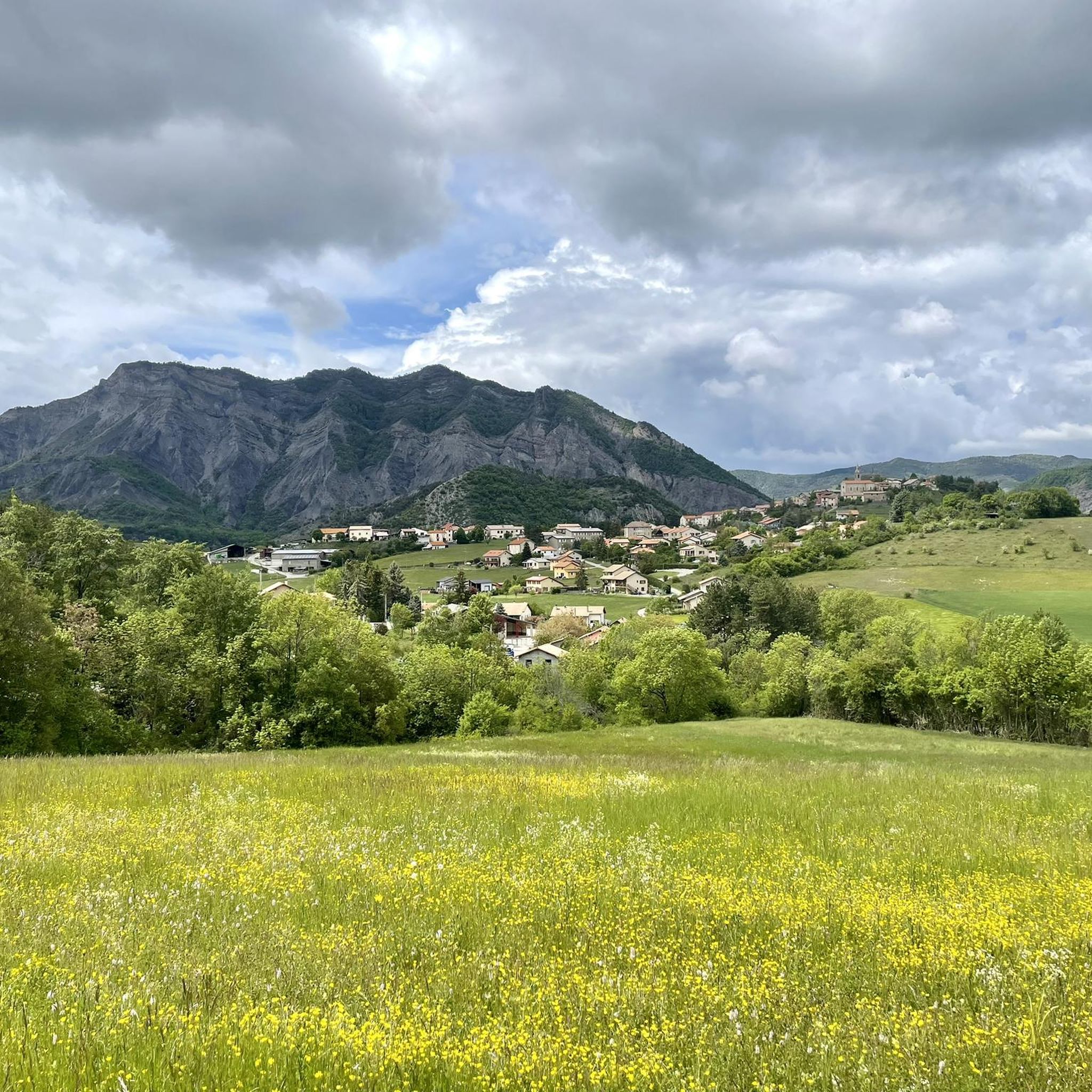
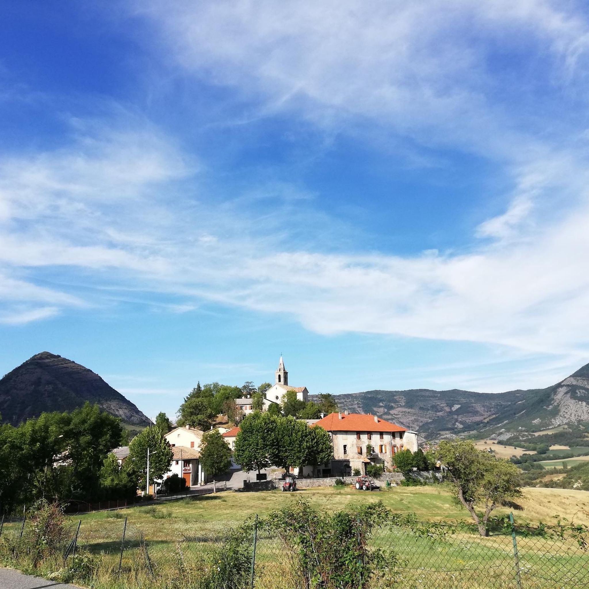
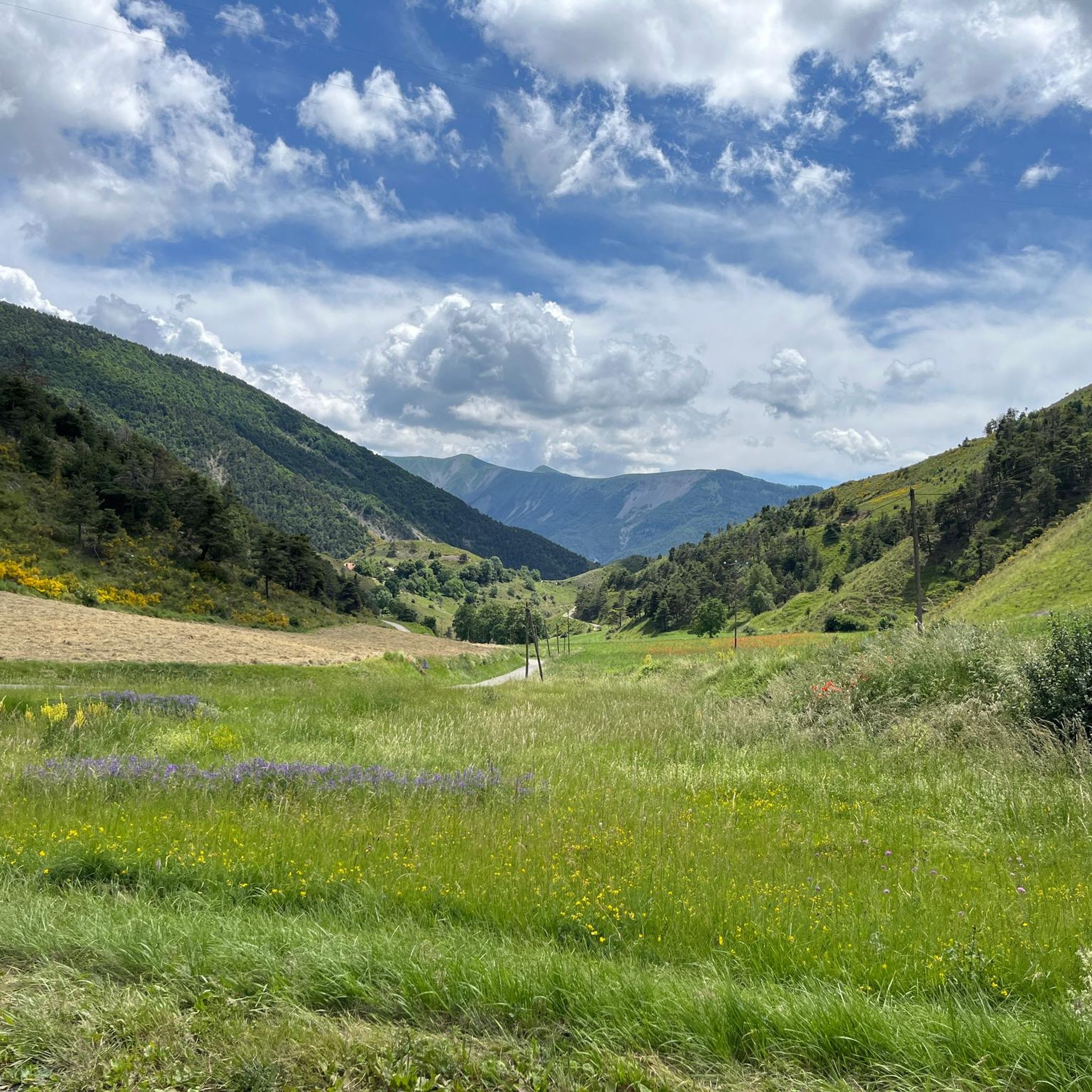
Tips from the Community

Jesus welcomes you when you reach this summit. But he has a sense of humor. His statue stands on a rock, but you can easily reach it without a bike. Otherwise, you can test your cyclocross skills. Be mindful of the narrow, steep streets of Turriers. Cycling up is doable, but you need skill and brakes to descend. Or you can do what I did: walk a bit. But cycling up is definitely worth it!
0
0
Not the most beautiful highlight. But the drive there is definitely worth it! Especially if you're coming from the south. For campers at Le Clot du Jay: highly recommended!
0
0

Little traffic. It connects the Sasse valley to the Turriers basin. It is located at an altitude of 1,176 meters.
1
0
The Astoin turnstiles refer to the series of hairpin bends described by the departmental road no. 1 to cross the rocky barrier formed by the Jurassic limestones that close the Sasse basin to the north. This road replaced the mule track that winds along the other bank of the Eau Amère and which is much older: it already appears on the Cassini map in the 18th century. This road allows the Bayons valley, its forests, its mountain pastures to communicate with the Turriers basin and, via the Garcinets pass, with Seyne and the Blanche valley. This RD 1 partly succeeded the main road from Seyne to Apt (1885), itself the heir to the D 17 of 1813. It should be noted that the village of Bayons is only served by this single road which must cross the Tourniquets upstream and the Clue de Bayons downstream.
0
0

The road is not the best, but it is very quiet. At the moment there is a lot of gravel on the west side.
1
0

From Mont Colombis you can enjoy a wonderful panoramic view. Kilometers 4 to 1 before the summit are pretty tough at around 13%. We hiked the last 4 kilometers.
0
0

This village has the particularity of being located on a natural hillock. In good weather, it benefits from remarkable views of the Alpine massif.
1
0
Frequently Asked Questions
How many touring cycling routes are available around Bellaffaire?
There are nearly 30 touring cycling routes around Bellaffaire, offering a variety of experiences. The majority of these routes are rated as difficult, providing a significant challenge for experienced cyclists.
What is the best time of year to go touring cycling in Bellaffaire?
The optimal seasons for touring cycling in Bellaffaire and the broader Alpes-de-Haute-Provence region are typically spring (April-May) and autumn (September-October). During these months, you'll find pleasant weather conditions and fewer tourists, which is ideal for enjoying the quiet shared roads.
What kind of terrain can I expect on touring cycling routes near Bellaffaire?
Touring cycling routes near Bellaffaire traverse diverse landscapes, from preserved wooded hills and green meadows to prominent peaks and river valleys. The region features a unique blend of imposing mountains and gentle Provençal hills, offering winding roads and breathtaking panoramas. Expect varied terrain with significant elevation changes on many routes.
Are there any easy touring cycling routes for beginners or families?
While many routes around Bellaffaire are challenging, there are a few easier options available. The region's diverse landscape means that while some routes feature significant climbs, others might follow river valleys or quieter roads suitable for less experienced cyclists. For example, there are 2 routes rated as easy and 3 as moderate out of nearly 30 total routes.
What natural features or landmarks can I see along the touring cycling routes?
Many touring cycling routes offer stunning views of natural features and landmarks. You can explore areas near the artificial Serre-Ponçon Lake, one of France's largest, or cycle through the scenic Gorges de la Blanche. The region also features numerous mountain passes, such as Col des Garcinets and Tourrond Pass, providing rewarding challenges and panoramic vistas.
Are there any circular touring cycling routes available?
Yes, many touring cycling routes around Bellaffaire are designed as loops, allowing you to start and end in the same location. An example is the challenging Col des Garcinets (1250 m) – The Gorges de la Blanche loop from Bellaffaire, which offers picturesque views and a steady climb.
Can I find places to eat or drink along the routes?
The broader Provence-Alpes-Côte d'Azur region, including areas around Bellaffaire, is known for its charming villages. While specific cafes or pubs directly on every route may vary, you'll often find opportunities to stop in traditional villages for refreshments. Bellaffaire itself has local amenities, and the presence of cycling-focused accommodations like the Bellaffaire Bike Lodge suggests a welcoming environment for cyclists seeking services.
Is it possible to rent a touring bike in Bellaffaire?
Given the area's focus on cycling tourism, particularly with the presence of the Bellaffaire Bike Lodge, it is likely that bike rental services are available locally or in nearby towns. It's advisable to check with local tourism offices or cycling-specific accommodations for the most current information on touring bike rentals.
What do other cyclists say about touring cycling in Bellaffaire?
The touring cycling routes around Bellaffaire are highly rated by the komoot community, with an average score of 4.5 stars from over 50 reviews. More than 1,100 touring cyclists have used komoot to explore the varied terrain, often praising the challenging rides through wooded hills, prominent peaks, and scenic river valleys.
Are there options for parking near the touring cycling routes?
While specific parking locations for each route are not detailed, Bellaffaire is a small commune, and parking is generally available in and around the village. For routes starting from specific points like Théus or Rochebrune, you would typically find parking options in those respective village centers or designated areas.
Can I use public transport to access the touring cycling routes?
Public transport options directly to specific trailheads in Bellaffaire may be limited due to its rural setting. However, the broader Alpes-de-Haute-Provence region has some public transport networks connecting larger towns. For accessing specific touring routes, it's often more practical to drive to a starting point or consider local shuttle services if available, especially if you are staying at a cycling-friendly accommodation.
Are there any specific regulations or permits needed for touring cycling in the area?
Generally, no specific permits are required for touring cycling on public roads and designated cycling routes in the Bellaffaire area. However, it's always good practice to respect local traffic laws, be mindful of private property, and check for any temporary restrictions, especially if cycling through protected natural areas. The region emphasizes 'quiet shared roads,' so cyclists are encouraged to share the road responsibly with other users.
What is a challenging touring cycling route I can try?
For experienced touring cyclists seeking a challenge, the Petrifying Waterfall – The turnstiles loop from Théus is a difficult 37.7-mile (60.7 km) trail. It features significant elevation gain, taking approximately 4 hours and 7 minutes to complete through varied and demanding landscapes.
Most popular routes around Bellaffaire
Most popular attractions around Bellaffaire

Get inspired with the komoot mobile app


Explore more
Browse the best Cycling routes in other regions.
