The best walks and hikes around Nibles
4.6
(317)
2,078
hikers
44
hikes
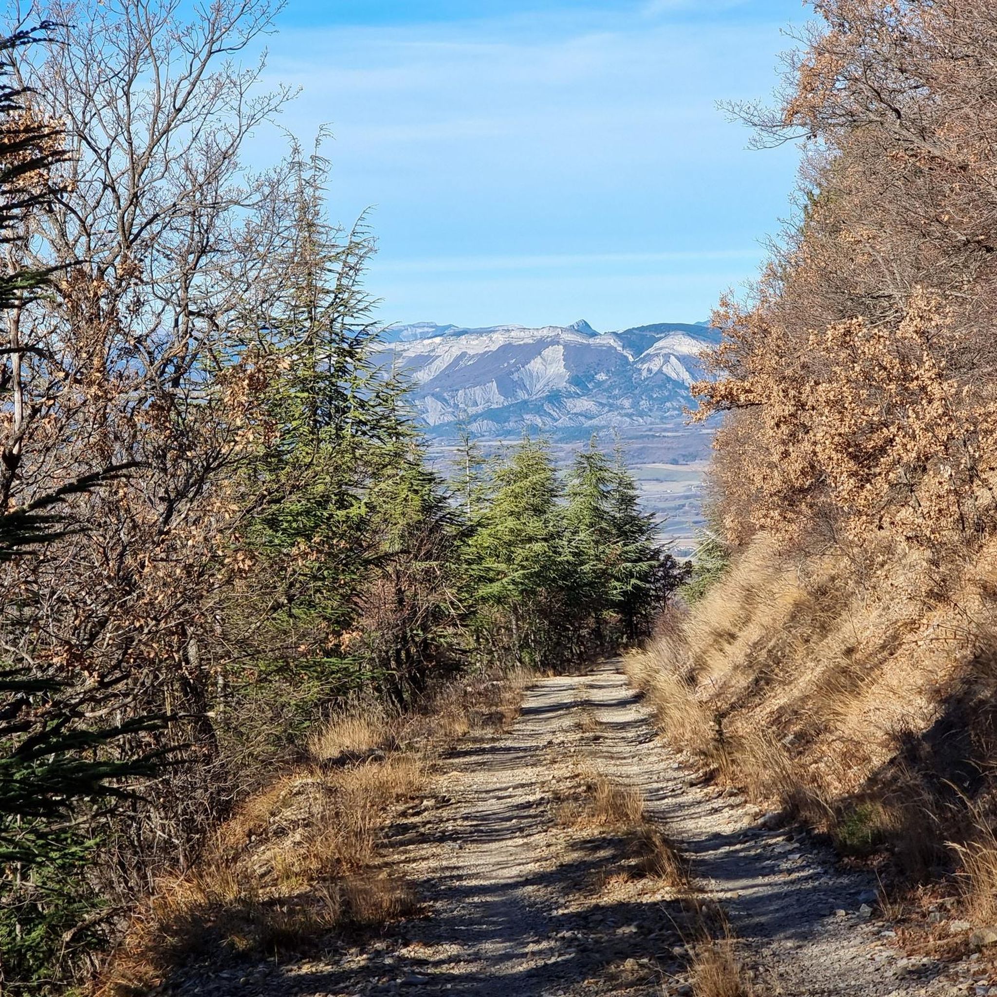
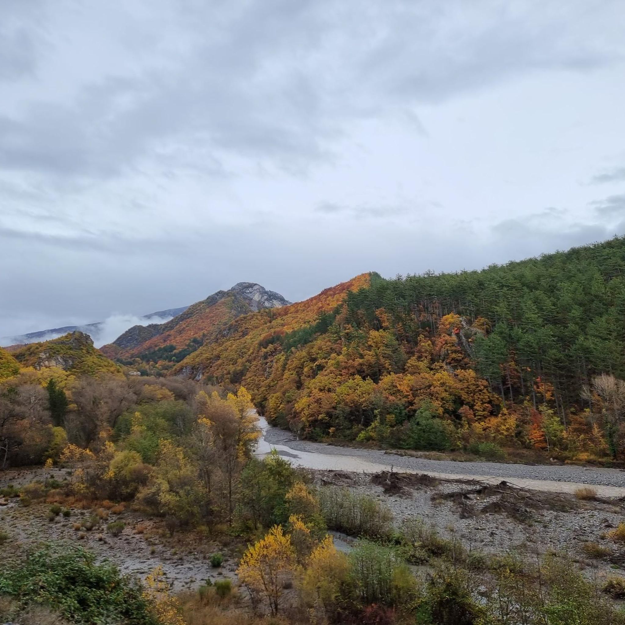
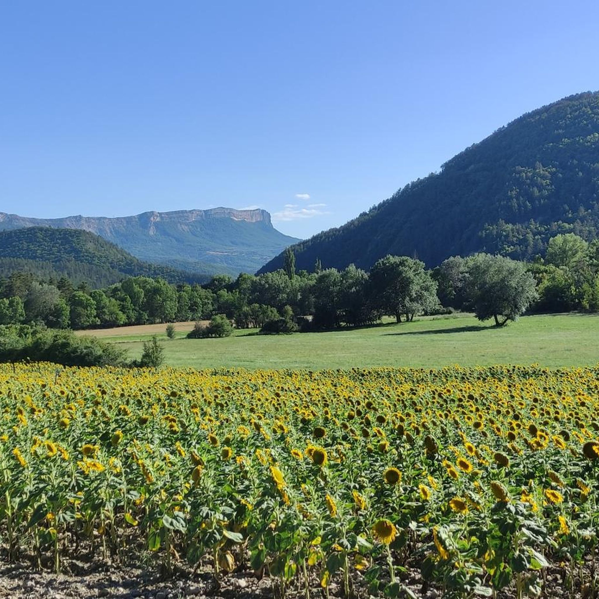
Hiking around Nibles offers a diverse landscape characterized by valleys, hills, and historical features. The region includes routes that traverse varied terrain, from riverside paths to more elevated sections. Elevation gains on trails suggest a mix of gentle ascents and more challenging climbs. The area provides opportunities to explore both natural surroundings and local landmarks.
Best hiking trails around Nibles
- The most popular hiking route is The Sagnières aqueduct, a 3.8 miles (6.1 km) trail that takes 1 hour…
Last updated: July 8, 2026
4.7
(22)
77
hikers
6.06km
01:47
180m
180m
Easy hike. Great for any fitness level. Easily-accessible paths. Suitable for all skill levels.
4.2
(5)
26
hikers
3.28km
01:00
80m
80m
Moderate hike. Great for any fitness level. Mostly accessible paths. Sure-footedness required.

Sign up for free
4.6
(5)
26
hikers
13.0km
04:21
640m
640m
Moderate hike. Good fitness required. Easily-accessible paths. Suitable for all skill levels.
5.0
(5)
40
hikers
10.9km
04:33
710m
700m
Moderate hike. Good fitness required. Mostly accessible paths. Sure-footedness required.
4.3
(3)
15
hikers
16.6km
05:22
720m
720m
Hard hike. Very good fitness required. Easily-accessible paths. Suitable for all skill levels.
Get access to more routes and recommendations from other explorers.
Sign up for free
Already have an account?
Our route recommendations are based on thousands of hikes, rides, and runs completed by other people on komoot.
Start today with a free account
Your next adventure awaits.
Login or Signup

Tips from the Community

A piece of ancient history awaits you here
0
0

Beautiful village on the Via Domizia
0
2

Road on the Via Domizia
0
3
In Saint-Geniez there is a beautiful fountain
2
3
Frequently Asked Questions
How many hiking trails are available in the Nibles area?
While specific data for 'Nibles' is limited, if we interpret this as 'The Needles District of Canyonlands National Park', there are over 60 miles of interconnecting trails. Our komoot guide for Nibles lists over 40 routes, offering a diverse range of hiking experiences.
What kind of terrain can I expect when hiking in Nibles?
The terrain in the Nibles area, interpreted as 'The Needles District', is characterized by colorful sandstone spires, canyons, and slickrock. Trails often wind through rocky, dry landscapes with varied elevation changes. The komoot routes around Nibles feature valleys, hills, and historical elements, with a mix of riverside paths and more elevated sections.
Are there any easy hiking trails suitable for beginners in Nibles?
Yes, there are several easy options. For example, The Sagnières aqueduct is an easy 3.8-mile (6.1 km) trail that takes about 1 hour 47 minutes to complete, featuring historical elements and gentle gradients. Our guide lists 10 easy routes in total.
What are some challenging hikes in Nibles for experienced hikers?
For those seeking a challenge, the Nibles area (interpreted as 'The Needles District') offers extensive backcountry trails, including routes to Druid Arch which involves scrambles and a ladder. Within our komoot guide, routes like Saint-Geniez – View of the mountains loop from Châteaufort are classified as difficult, covering 10.3 miles (16.6 km) with significant elevation gain.
Are there any circular hiking routes in Nibles?
Yes, many of the trails in the Nibles area are designed as loops. For instance, the View of Clamensane – Route des Graves loop from Clamensane is a moderate 8.1-mile (13.0 km) path offering expansive views. Another popular option is the Village Water Fountain – Summit Cross loop from Valavoire, which is 6.7 miles (10.8 km) long.
What natural features or landmarks can I see while hiking in Nibles?
If referring to 'The Needles District', you can explore unique geological formations like colorful sandstone spires, Tower Ruin, and Chesler Park. In the Nibles area, you can discover natural monuments such as View of Sisteron and the Rocher de la Baume, Le Trou d'Argent cave, and The Vanson river.
Are there any family-friendly hiking options in Nibles?
For family-friendly options, consider the easier routes in the Nibles area. The Sagnières aqueduct trail, with its gentle gradients and historical elements, is a good choice for families. Always check the distance and elevation gain to ensure it suits your family's abilities.
Can I bring my dog on the hiking trails in Nibles?
The policy for dogs can vary. In 'The Needles District' (Canyonlands National Park), dogs are generally not allowed on hiking trails but are permitted on paved roads and in campgrounds. For the Nibles region, it's best to check individual trail regulations or local signage, as rules can differ between specific routes and protected areas.
Do I need a permit to hike in Nibles?
If you are planning to hike in 'The Needles District of Canyonlands National Park', backcountry permits are required for overnight trips. Day hikes typically do not require a permit, but it's always wise to check the official National Park Service website for the most current regulations: nps.gov/cany/planyourvisit/needles.htm. For other areas around Nibles, permits are generally not required for day hikes.
What is the best time of year to go hiking in Nibles?
For 'The Needles District', spring (April-May) and fall (September-October) are ideal, offering mild temperatures. Summer can be very hot, and winter can bring snow and ice. For the Nibles region, hiking is generally pleasant from spring through autumn, with varied conditions depending on elevation and specific weather patterns.
What do other hikers say about their experiences in Nibles?
The hiking routes in Nibles are highly rated by the komoot community, with an average score of 4.7 stars from over 250 reviews. Hikers often praise the varied terrain, historical aqueducts, and valley views. Over 1600 hikers have used komoot to explore the area, indicating a popular and well-regarded hiking destination.
Are there any historical sites or cultural features to explore in Nibles?
Yes, the Nibles area offers several historical and cultural points of interest. You can find ancient Native American petroglyphs at Newspaper Rock if you consider 'The Needles District'. Locally, you can visit the Inscribed Stone, and explore historical elements along routes like The Sagnières aqueduct. Nearby, the Sisteron Citadel also offers a rich historical experience.
What are the elevation gains like on hikes in Nibles?
Hikes in the Nibles area feature a mix of elevation gains, from gentle ascents to more challenging climbs. For example, The Sagnières aqueduct has an elevation gain of around 183 meters, while the View of Clamensane – Route des Graves loop involves a more significant gain of over 640 meters, indicating varied options for different fitness levels.
Most popular attractions around Nibles

Get inspired with the komoot mobile app


Explore more
Browse the best Hikes in other regions.
