The best running trails around Rüti (ZH)
4.4
(14)
592
runners
50
runs
Jogging around Rüti (ZH) offers diverse landscapes within the Zürcher Oberland, characterized by its natural features and well-maintained trails. The region features the Jona River, which carves through areas like the Tanner Tobel, and extensive forested areas such as Rütiwald and Jonawald. Runners can also find routes leading to hills like Batzberg, providing varied terrain and elevation changes. Proximity to lakes like Lützelsee and Greifensee further enhances the natural running environment.
Best jogging routes around Rüti (ZH)
- The most popular…
Last updated: October 1, 2026
4.4
(5)
82
runners
Moderate run. Good fitness required. Mostly accessible paths. Some sure footedness required.
5.0
(1)
35
runners
20.6km
02:10
150m
150m
Hard run. Very good fitness required. Mostly paved surfaces. Suitable for all skill levels.

3.0
(1)
35
runners
4.83km
00:31
50m
50m
Easy run. Great for any fitness level. Mostly paved surfaces. Suitable for all skill levels.
5.0
(1)
24
runners
24.7km
02:40
300m
300m
Hard run. Very good fitness required. Mostly paved surfaces. Suitable for all skill levels.
22
runners
Moderate run. Good fitness required. Mostly paved surfaces. Suitable for all skill levels.
Get access to more routes and recommendations from other explorers.
Already have an account?
Our route recommendations are based on thousands of hikes, rides, and runs completed by other people on komoot.
Start today with a free account
Your next adventure awaits.
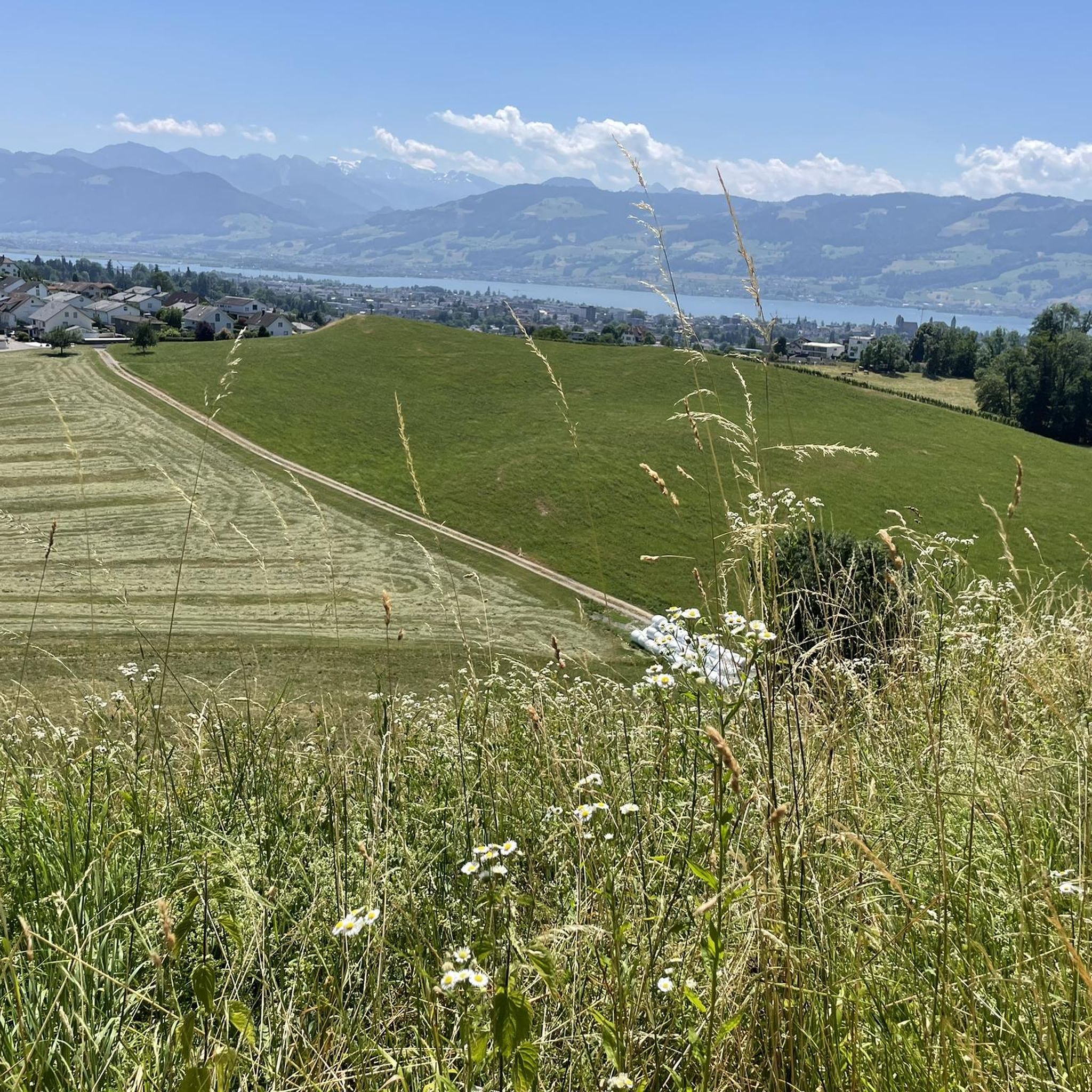
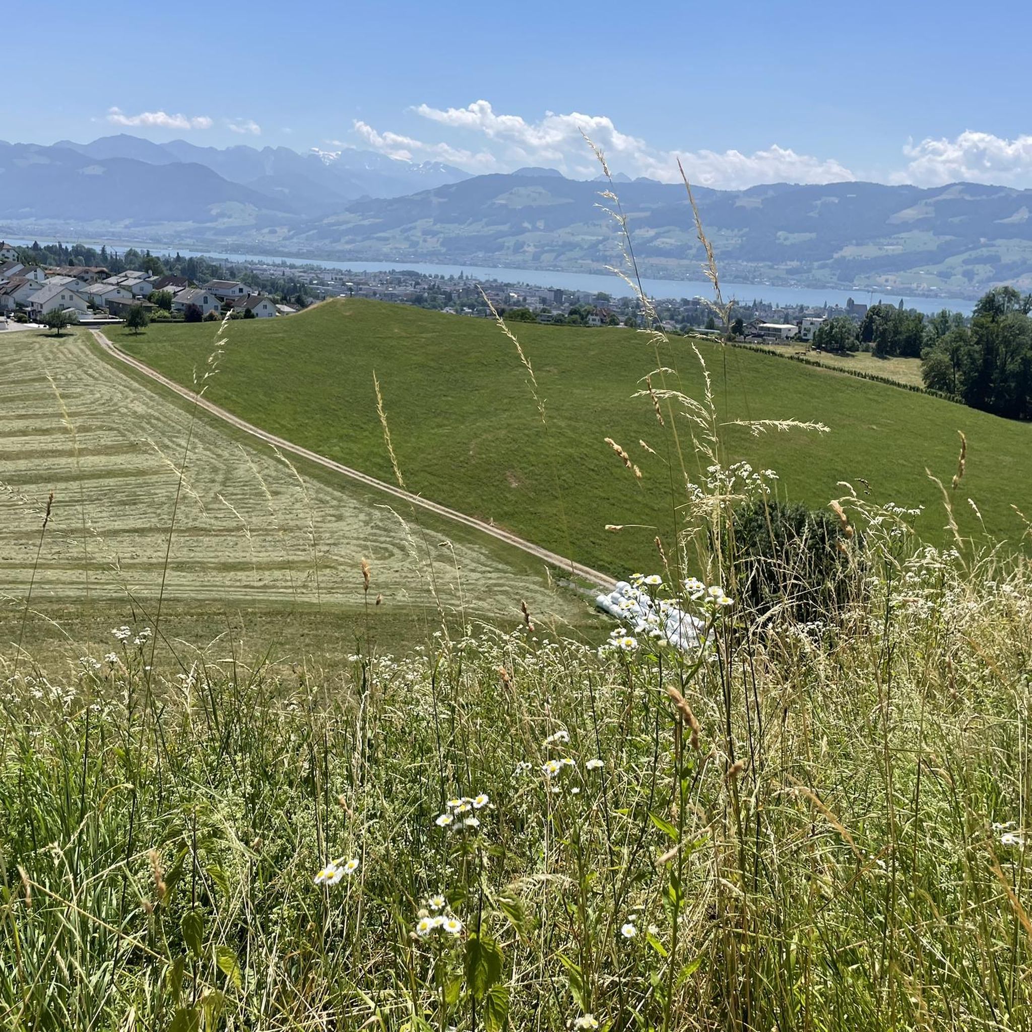
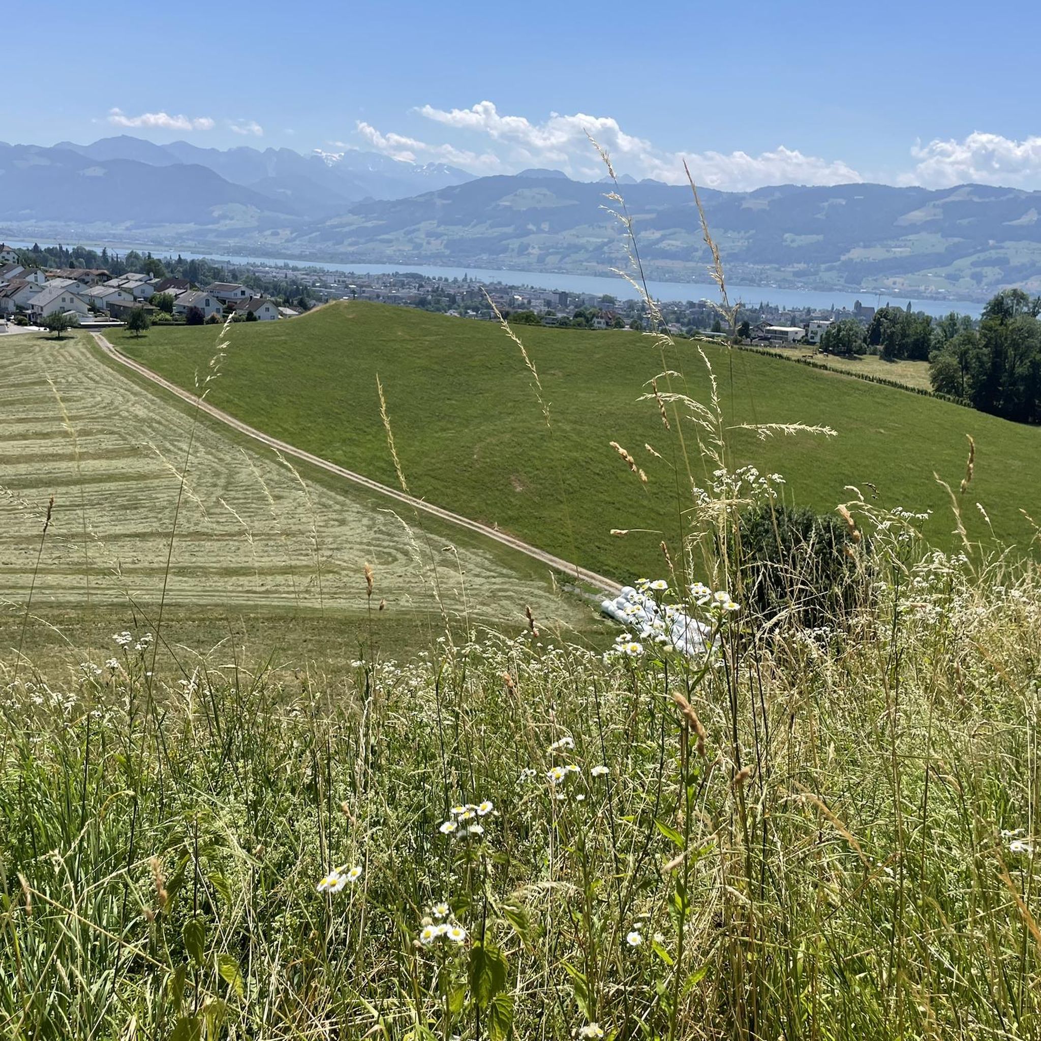
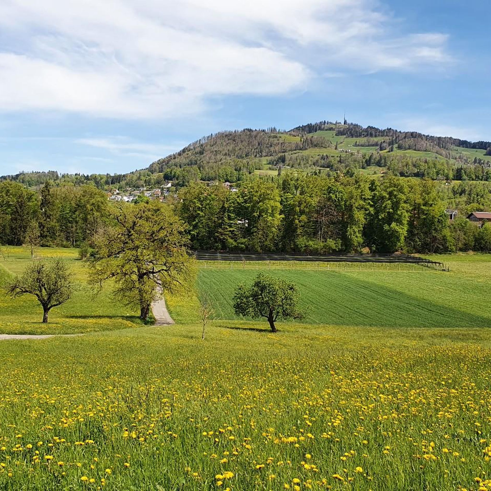
Tips from the Community

Beautiful beach in Schmerikon and nice path along the Obersee.
0
0

Beautiful, but often busy path along the northern shore of the Obersee with pedestrians and cyclists (leads from Schmerikon to Rapperswil, sometimes directly along the shore, sometimes a bit away from it).
1
0
Large, equipped barbecue area on the Jona river in picturesque surroundings. Now also with a portable toilet.
0
0

Do something good for your feet and your body
1
0

Wooden Bridge Seedamm-Weg / Route Pfäffikon SZ - Rapperswil SG "A monumental project at the turn of the millennium," inaugurated on April 6, 2001. The narrow passage between Lake Zurich and Lake Obersee has always been used by local residents to cross the water. Until the Middle Ages, this was done by ferry. After Rapperswil was sold to the House of Habsburg-Austria in 1354, Duke Rudolf IV, the Wise, decided to replace the ferry service with a wooden bridge. Completed in 1358, the structure was 1450 meters long and rested on 546 oak piles. It was 12 feet (approximately 4 meters) wide and designed for pedestrians, carts, and livestock. Toll revenues financed construction and maintenance, with the residents of Rapperswil, the monks of Einsiedeln Abbey, and some farmers from the Schwyz territories of Höfe and March being exempt from the bridge toll. The daring structure was also exposed to various dangers. For example, it was repeatedly damaged or even destroyed during wartime events, and natural forces such as waves and storms also took their toll. For this reason, the planks were not nailed to the bridge structure, and there was no railing. This meant that a storm could not tear down the entire bridge; only the loose planks were blown into the lake. Therefore, crossing the bridge was not a safe pleasure for everyone. In 1939/51, the dam was renovated, and the bridges were reinforced to handle the increasing car, truck, and train traffic. A stroll on the dam's sidewalk had long ceased to be enjoyable. Therefore, the idea of a new pedestrian bridge in the form of the old wooden bridge seemed appealing. The new wooden bridge was inaugurated on April 6, 2001. It is the longest wooden bridge in Switzerland (841 m). It rests on a total of 233 piles. Text / Source: City of Rapperswil-Jona, St. Gallerstrasse, Jona https://www.rapperswil-jona.ch/naherholungimfreien/6552
5
0

First and second upper deck exclusively first class with restaurant.
3
0
Leisurely walk, normal shoes and eyes and ears open for beautiful sounds of nature
1
0
Frequently Asked Questions
How many running routes are available around Rüti (ZH)?
There are over 50 running routes around Rüti (ZH) documented on komoot, offering a wide variety of options for different fitness levels and preferences.
What kind of terrain can I expect on jogging trails in Rüti (ZH)?
Jogging routes in Rüti (ZH) feature diverse terrain, from flat paths along the Jona River and around lakes like Lützelsee to more challenging ascents in forested areas and towards hills like Batzberg. You'll find a mix of natural trails, forest paths, and some paved sections.
Are there any family-friendly running routes in Rüti (ZH)?
Yes, Rüti (ZH) offers several routes suitable for families. The extensive forested areas like Rütiwald and Jonawald provide winding paths that are generally less strenuous. Look for routes with lower elevation gain and shorter distances for a pleasant family outing.
Can I bring my dog on the running trails around Rüti (ZH)?
Many trails in Rüti (ZH) are dog-friendly, especially those through the extensive forests and along the Jona River. Always ensure your dog is kept on a leash where required and be mindful of local regulations, particularly in nature reserves or near agricultural areas.
Are there any running routes that feature waterfalls or other water attractions?
Absolutely! The Jona River is a prominent feature, with many trails following its course. You can also find routes that lead to picturesque lakes such as Lützelsee. For waterfalls, consider exploring areas like the Tanner Tobel, or specific highlights such as Wissengubel Waterfall or Anabaptists' Cave with Waterfall.
What are some challenging running routes for experienced runners in Rüti (ZH)?
For a more challenging run, consider routes with significant elevation gain. The Bachtel Tower – Bachtel-Kulm Viewpoint loop from Rüti is a difficult 15.1 km trail with over 600 meters of ascent, offering rewarding views from the Bachtel Tower. The Seeweg Schmerikon – River Run loop from Rüti is another difficult option, covering 24.7 km with over 300 meters of elevation.
Are there any easy running routes suitable for beginners in Rüti (ZH)?
Yes, Rüti (ZH) has easy routes perfect for beginners. These typically follow flatter sections along the Jona River or through the less hilly parts of the Rütiwald. Look for routes marked as 'easy' on komoot, which generally have shorter distances and minimal elevation changes.
Can I find circular running routes around Rüti (ZH)?
Many of the running routes in Rüti (ZH) are designed as loops, allowing you to start and finish at the same point. Examples include the popular Ridge Trail – Hiking trail along the Jona loop from Rüti ZH and the Lützelsee – Lake Lützelsee loop from Rüti.
What landmarks or viewpoints can I see while running in Rüti (ZH)?
Rüti (ZH) offers several scenic landmarks and viewpoints. The Bachtel Tower provides superb views of Lake Zurich and the Alps. Routes towards Rapperswil can offer views of its historic old town and castle (View of Rapperswil's Old Town and Castle), while the Schmerikon lakeside on Lake Zurich is another beautiful spot.
Is public transport available to access running trails in Rüti (ZH)?
Rüti (ZH) is well-connected by public transport, making it easy to reach many trailheads. The municipality is part of the Zürcher Verkehrsverbund (ZVV) network, with train and bus services. You can often start your run directly from the Rüti train station or use local buses to reach specific starting points.
Are there parking facilities near the running routes in Rüti (ZH)?
Yes, parking is generally available in and around Rüti (ZH), especially near popular starting points for trails or in the town center. Many routes are accessible from areas with designated parking, though it's always advisable to check specific route details on komoot for parking recommendations.
What do other runners enjoy most about jogging in Rüti (ZH)?
The running routes in Rüti (ZH) are highly rated by the komoot community, with an average score of 4.1 out of 5 stars. Reviewers often praise the diverse landscapes, the peaceful atmosphere of the forests like Rütiwald and Jonawald, and the scenic paths along the Jona River. The variety of terrain, from gentle river paths to challenging hill climbs, is also frequently highlighted.
Most popular routes around Rüti (ZH)
Most popular attractions around Rüti (ZH)

Get inspired with the komoot mobile app


Explore more
Browse the best Running Trails & Routes in other regions.
