The best MTB trails around Saint-Julien-Le-Roux
4.3
(180)
754
riders
63
rides
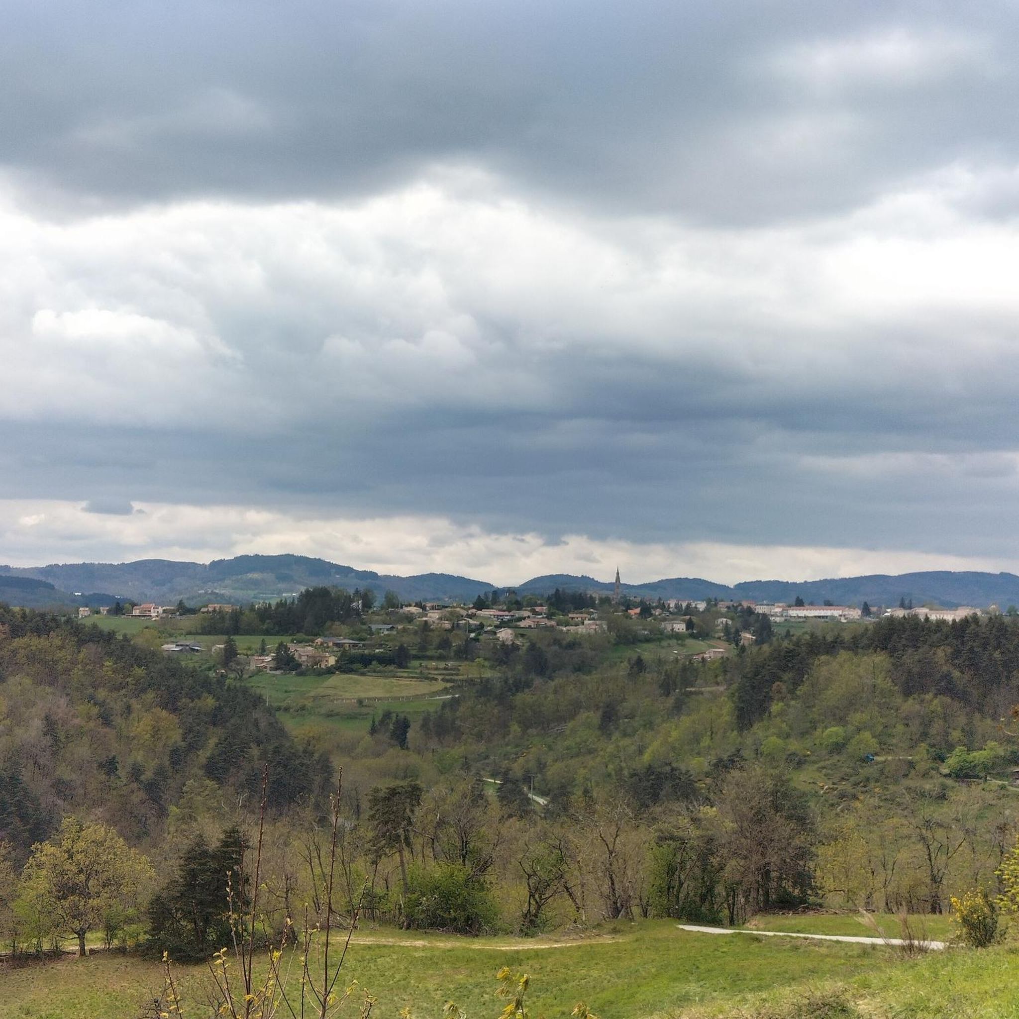
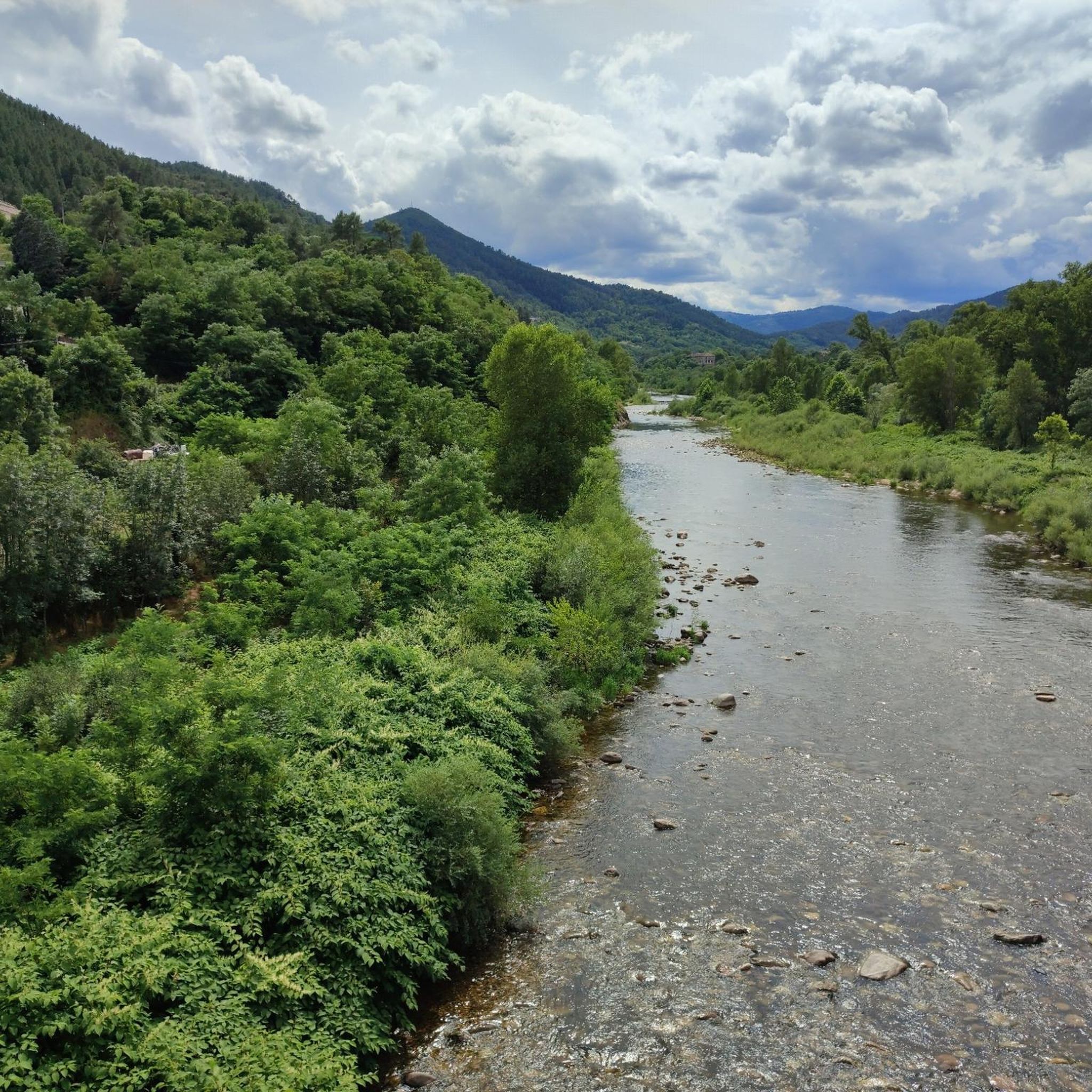
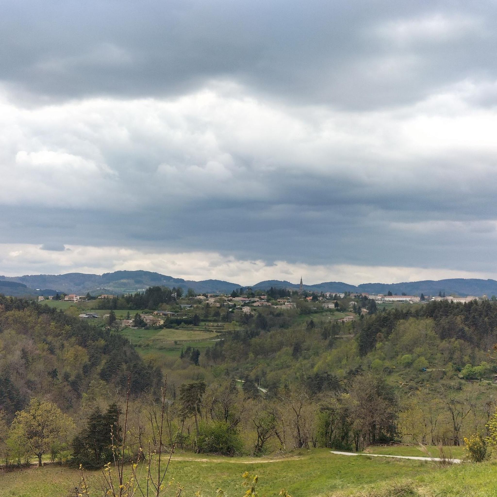
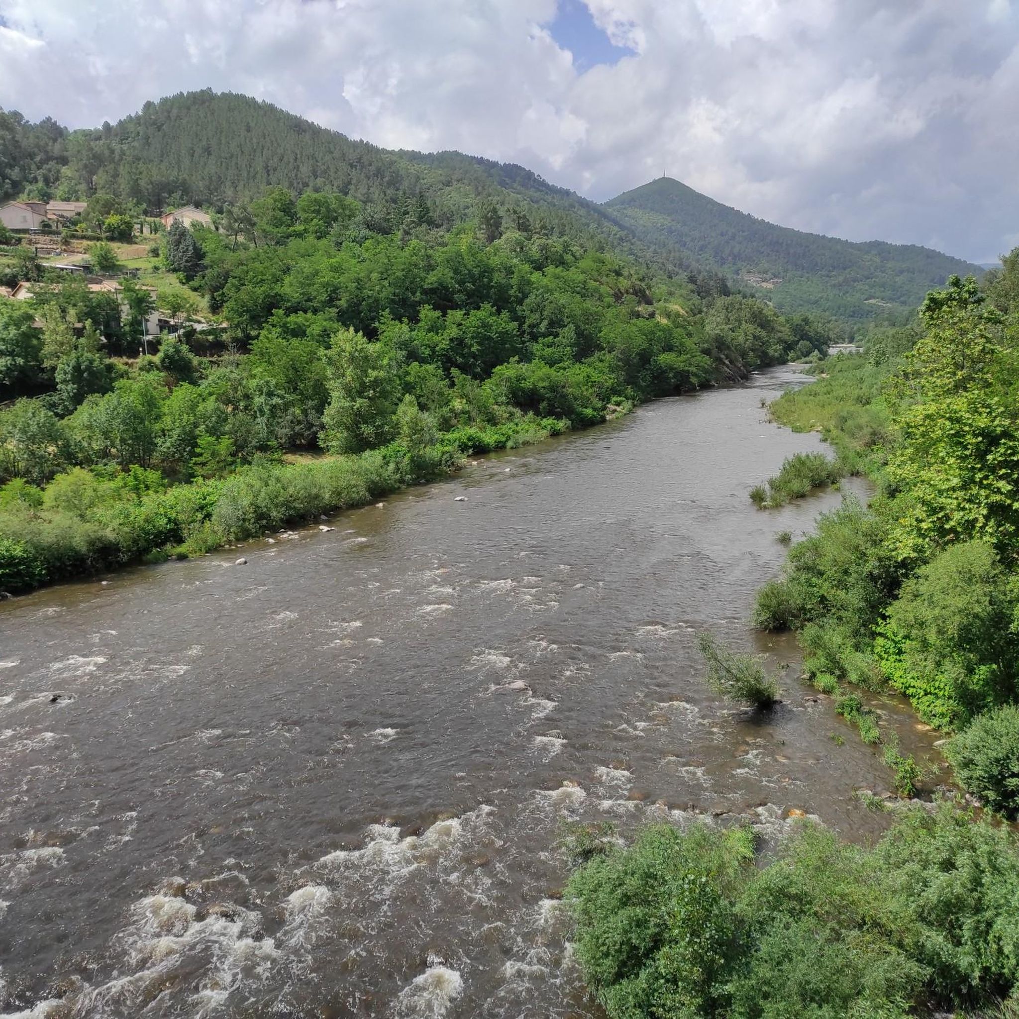
Mountain biking around Saint-Julien-Le-Roux, located within the Ardèche department and the Monts d'Ardèche Regional Natural Park, offers diverse terrain. The region features gorges and valleys, including those of the Dunière and the Eyrieux, alongside terraced landscapes, extensive forests, and open meadows. Significant elevation changes, ranging from 89 meters to over 1,300 meters, provide varied inclines and descents for mountain bike trails. Panoramic views of the Rhône Valley and surrounding massifs are available from several points.
Best mountain bike trails around…
Last updated: June 30, 2026
4.8
(23)
82
riders
33.1km
02:04
340m
340m
Moderate mountain bike ride. Good fitness required. Suitable for all skill levels.
5.0
(2)
6
riders
Hard mountain bike ride. Very good fitness required. Suitable for all skill levels.

Sign up for free
5.0
(4)
9
riders
32.9km
03:32
1,220m
1,220m
Hard mountain bike ride. Very good fitness required. Suitable for all skill levels.
5.0
(1)
12
riders
58.1km
05:33
1,570m
1,570m
Hard mountain bike ride. Very good fitness required. Advanced riding skills necessary.
4.3
(3)
8
riders
Moderate mountain bike ride. Good fitness required. Suitable for all skill levels.
Get access to more routes and recommendations from other explorers.
Sign up for free
Already have an account?
Our route recommendations are based on thousands of hikes, rides, and runs completed by other people on komoot.
Start today with a free account
Your next adventure awaits.
Login or Signup
Tips from the Community

Varied surfaces, not well suited for road bikes
0
0

La Voulte-sur-Rhône captivates visitors with its historic suspension bridge, which drapes over the Rhône River and offers breathtaking views. This charming town boasts winding alleys and historic medieval houses. A visit here perfectly combines nature, history, and French village life.
0
0


Great route. We went from Saint-Agrève to Valence. A magnificent descent along the gorges. I recommend it 200%.
0
0

One of the most beautiful via ferries in the South of France
0
0

Top 10 bike paths Mountain bike tires are better for the sandy sections.
0
0

Frequently Asked Questions
What kind of terrain and difficulty can I expect on mountain bike trails around Saint-Julien-Le-Roux?
The region around Saint-Julien-Le-Roux offers a varied topography, characterized by gorges, valleys, terraced landscapes, forests, and meadows. You'll encounter significant elevation changes, ranging from 89 meters to over 1,300 meters, providing a mix of inclines and descents. The trails vary in difficulty, with options from moderate to difficult. For example, the Eyrieux loop – Voie verte La Dolce Via loop from Saint-Fortunat-sur-Eyrieux is a difficult route with substantial elevation gain.
Are there mountain bike trails suitable for experienced riders seeking a challenge?
Yes, experienced mountain bikers will find challenging routes around Saint-Julien-Le-Roux. Many trails feature significant elevation changes and technical descents. For instance, the The village fountain – Descent from Col d'Aurelle loop from Saint-Fortunat-sur-Eyrieux is a difficult 20.4-mile (32.9 km) path known for its demanding descents from Col d'Aurelle. Another difficult option is the Liviers Castle – View of the Serre de Gruas loop from Saint-Fortunat-sur-Eyrieux, which covers 58 km with over 1500 meters of ascent.
Are there mountain bike trails with scenic viewpoints in the area?
Yes, the region is known for its panoramic views. Several points, such as the Serre de Girbaud (near the Château de Pierre Gourde), offer superb 360-degree panoramas of the Rhône Valley, the Eyrieux, the Vercors, and the Diois massifs. While specific routes are not detailed, many trails traverse elevated areas, providing breathtaking scenery of the diverse landscapes, including gorges, valleys, and terraced fields.
What historical or natural attractions can I see along the mountain bike trails?
The trails around Saint-Julien-Le-Roux often pass through areas rich in natural beauty and historical significance. You can explore the scenic Voie verte La Dolce Via, a greenway that follows the Eyrieux valley, or experience the Dolce Via Section Through the Gorges of the Eyrieux. The region also features old hamlets and the ruins of the Château de Pierregourde, offering glimpses into the area's heritage.
How many mountain bike trails are available around Saint-Julien-Le-Roux?
There are over 50 mountain bike trails available around Saint-Julien-Le-Roux. This includes 8 easy routes, 28 moderate routes, and 18 difficult routes, offering a wide range of options for different skill levels.
What do other mountain bikers enjoy most about mountain biking in Saint-Julien-Le-Roux?
The mountain bike trails around Saint-Julien-Le-Roux are highly rated by the komoot community, with an average score of 4.3 stars from over 140 reviews. Users often praise the varied terrain, the challenging elevation changes, and the beautiful natural landscapes, including gorges, valleys, and panoramic viewpoints.
Are there any moderate mountain bike trails that offer a good balance of challenge and enjoyment?
Yes, there are 28 moderate mountain bike trails in the area. A popular moderate option is The start of the Dolce Via – Bridge over the Rhône loop from Saint-Fortunat-sur-Eyrieux, a 29.0-mile (46.6 km) trail that leads through river valleys and is typically completed in about 2 hours 52 minutes. Another moderate route is the Saint Anne Restaurant Café – Combéron Pass loop from Saint-Fortunat-sur-Eyrieux, covering nearly 40 km.
What is the best time of year for mountain biking in Saint-Julien-Le-Roux?
While specific seasonal conditions are not detailed, the varied topography with forests and meadows suggests that spring and autumn would offer pleasant temperatures and vibrant scenery. Summer can be suitable, but riders should be mindful of potential heat in exposed areas. Winter might present challenges with colder temperatures and possibly wet or icy conditions at higher elevations.
Are there any family-friendly mountain biking options around Saint-Julien-Le-Roux?
While many routes feature significant elevation changes, the presence of the Voie verte La Dolce Via, a greenway, suggests that there are flatter, more accessible sections suitable for families or those seeking a less strenuous ride. There are 8 easy routes available, which would be the best starting point for family outings.
Is it possible to bring dogs on the mountain bike trails in this region?
The Monts d'Ardèche Regional Natural Park, where Saint-Julien-Le-Roux is located, generally welcomes dogs on trails, provided they are kept under control, especially in areas with livestock or wildlife. It's always advisable to check specific trail regulations or local signage for any restrictions before heading out with your dog.
Are there any places to get refreshments or food near the trails?
Yes, the region has amenities for visitors. For example, the Terre adélice Ice Cream Shop is a highlight that could be a refreshing stop. Additionally, the route Saint Anne Restaurant Café – Combéron Pass loop from Saint-Fortunat-sur-Eyrieux suggests that cafes and restaurants are available in nearby villages like Saint-Fortunat-sur-Eyrieux.
What are the typical distances and durations for mountain bike trails in the area?
Trail distances vary significantly. For example, the Eyrieux loop – Voie verte La Dolce Via loop from Saint-Fortunat-sur-Eyrieux is 33.3 miles (53.6 km) and takes approximately 3 hours 54 minutes. Shorter routes like The village fountain – Descent from Col d'Aurelle loop from Saint-Fortunat-sur-Eyrieux are 20.4 miles (32.9 km) and can take around 3 hours 30 minutes. There are also longer, more challenging routes up to 58 km.
Most popular routes around Saint-Julien-Le-Roux
Most popular attractions around Saint-Julien-Le-Roux

Get inspired with the komoot mobile app


Explore more
Browse the best MTB trails in other regions.
