The best mountain hikes around Bäretswil
4.9
(6)
50
hikers
9
hikes
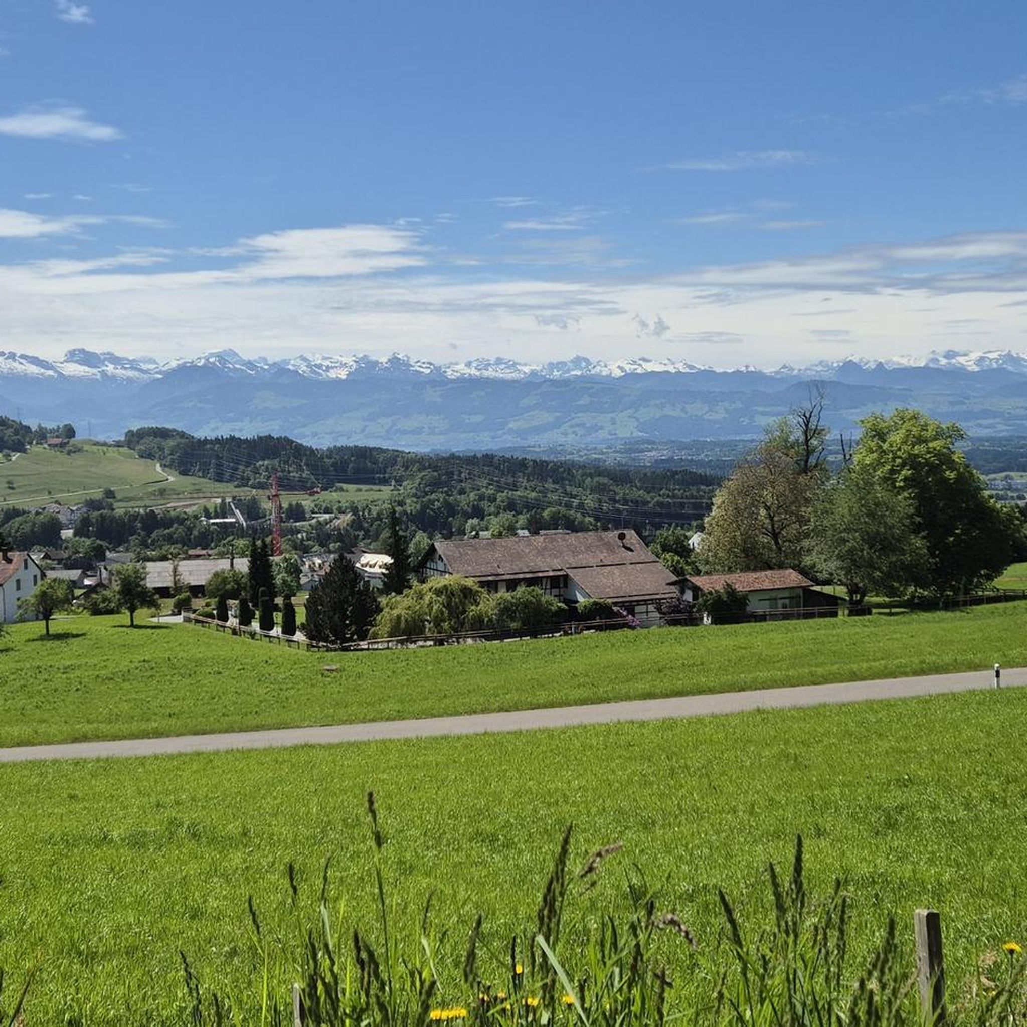
Mountaineering routes around Bäretswil traverse the pre-Alpine, undulated terrain of the Zurich Oberland, characterized by forests, hills, and waterways. The region offers elevated points such as Mohenberg (904 m) and the Allmen (1,074 m), providing rewarding views. While not featuring high-alpine technical climbing, the landscape is ideal for challenging hikes and exploring natural features.
Best mountaineering routes around Bäretswil
- The most popular mountaineering route is Mountaineering loop from Steg, a 9.1 miles (14.7 km) trail that takes 4 hours…
Last updated: October 10, 2026
5.0
(1)
15
hikers
9.61km
03:27
570m
570m
Moderate mountaineering route. Good fitness required. Easily-accessible paths. Suitable for all skill levels.
4.5
(2)
11
hikers
7.00km
02:37
410m
410m
Moderate mountaineering route. Good fitness required. Mostly accessible paths. Sure-footedness required.

3
hikers
11.8km
04:00
590m
590m
Moderate mountaineering route. Good fitness required. Easily-accessible paths. Suitable for all skill levels.
4
hikers
10.4km
03:57
590m
590m
Moderate mountaineering route. Good fitness required. Mostly accessible paths. Sure-footedness required.
3
hikers
7.01km
02:22
330m
330m
Moderate mountaineering route. Good fitness required. Mostly accessible paths. Sure-footedness required.
Get access to more routes and recommendations from other explorers.
Already have an account?
Our route recommendations are based on thousands of hikes, rides, and runs completed by other people on komoot.
Start today with a free account
Your next adventure awaits.
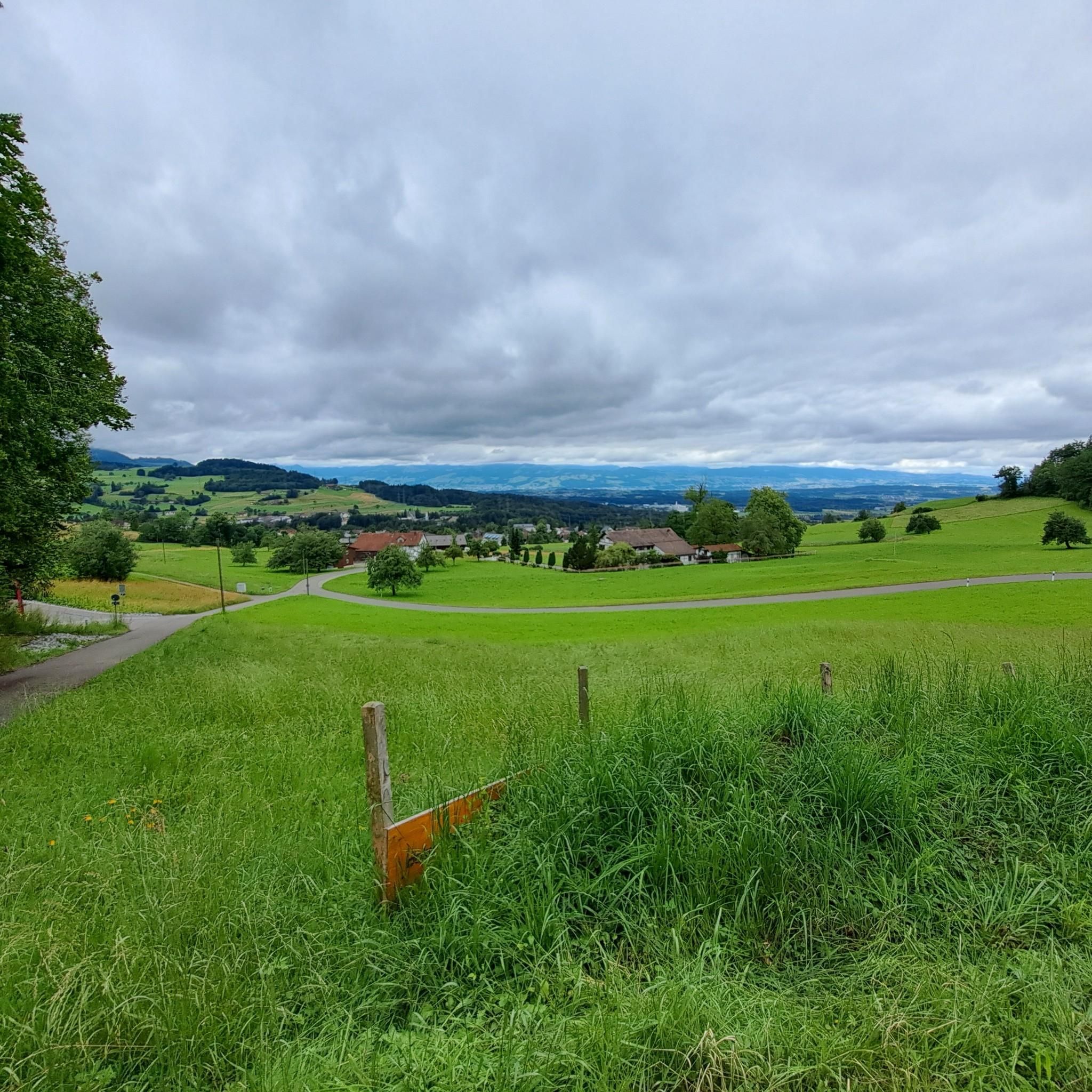
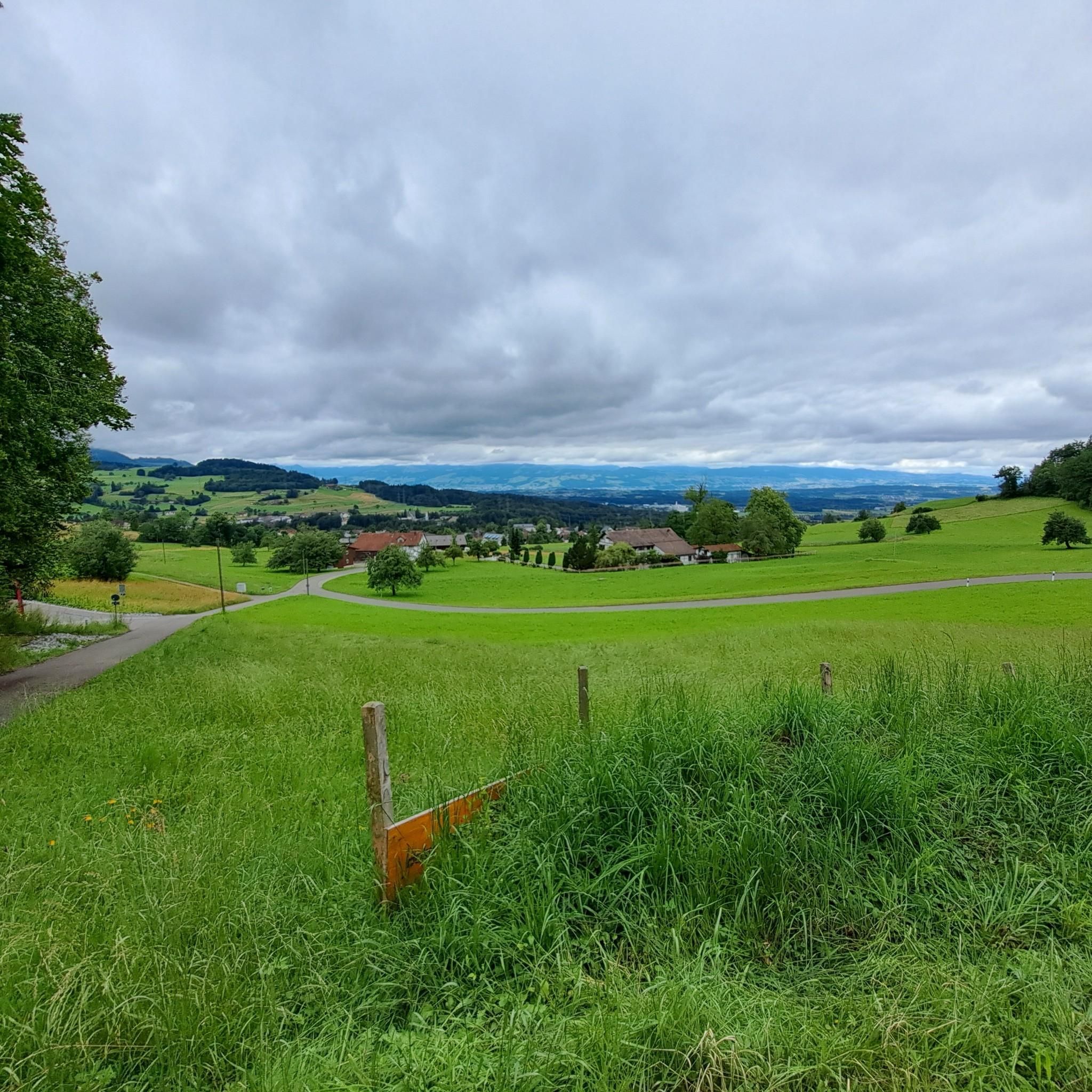
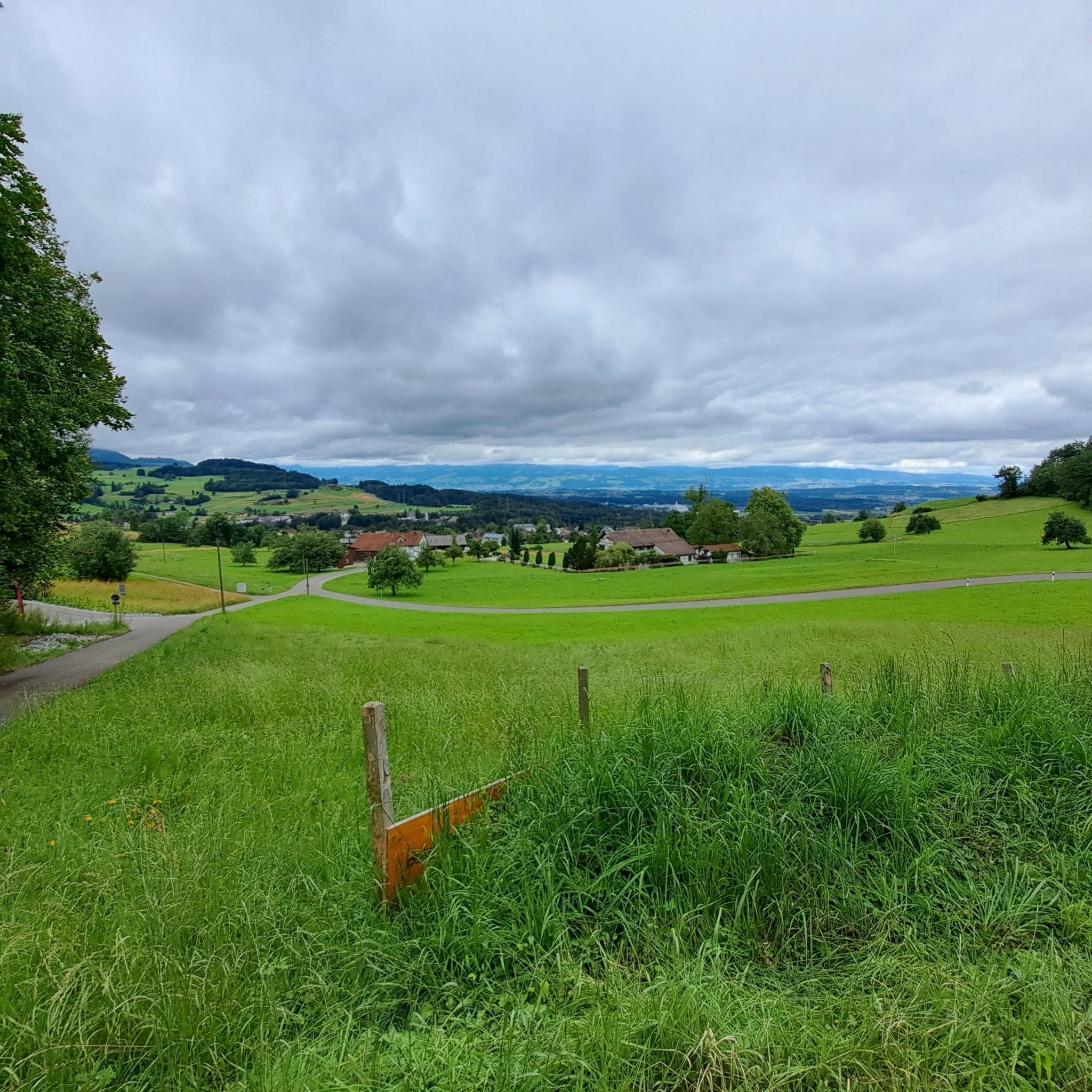
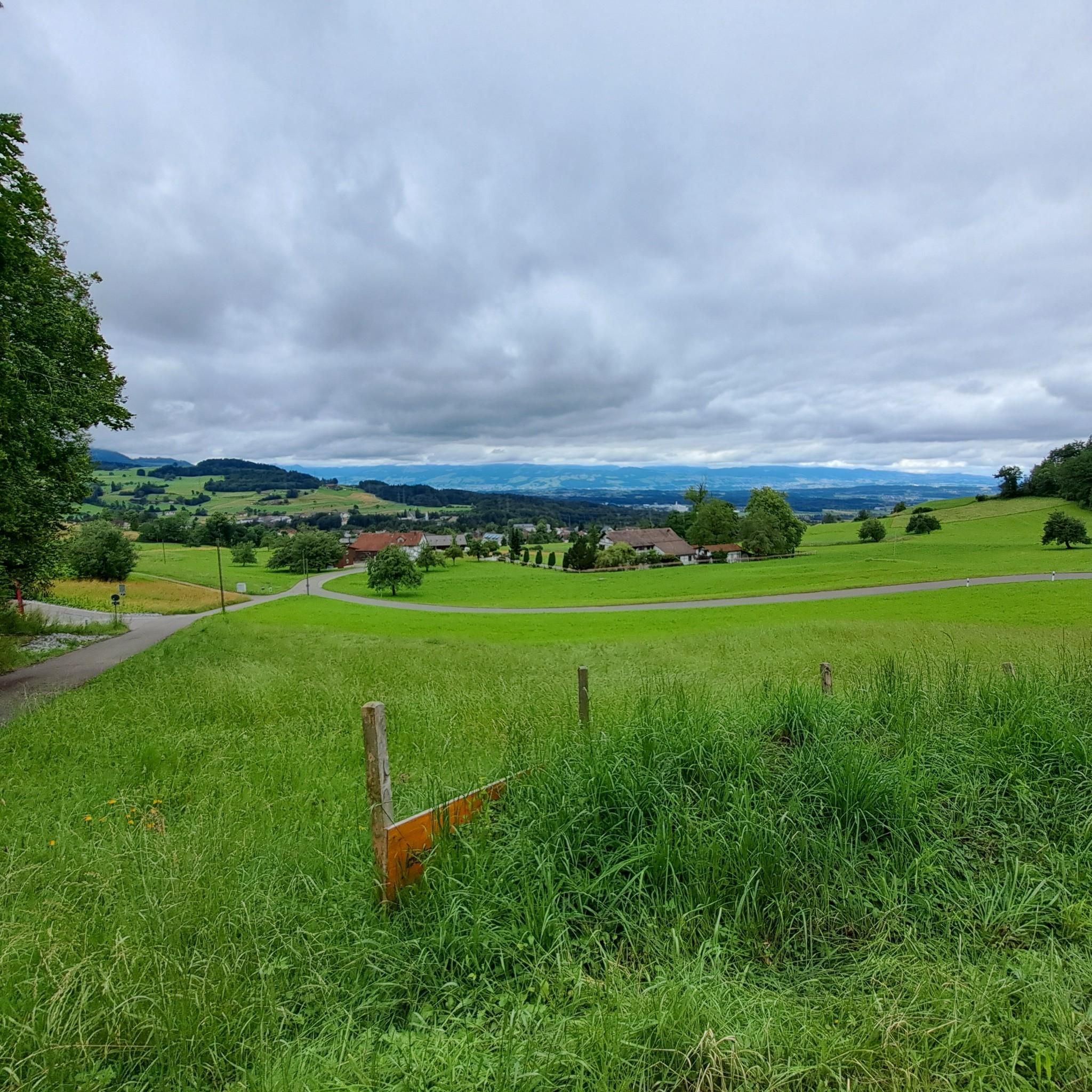

Tips from the Community

There are 3 paths here that run almost parallel between Schnebelhorn (but only one from the summit) via Meiersalp to Laubberg - varying in difficulty (MTB), but all beautiful.
0
0
The alpine hut was closed in the meantime (farmer / owner) - I don't know if it is now open again as a restaurant.
0
0
First/last opportunity before/after the Schnebelhorn for a refreshment or strengthening.
0
0

Conditionally very demanding. 200m steep running section.
0
0

Beautiful little village. The Lourdes Grotto is highly recommended.
0
0

Mountain restaurant with wonderful views
1
0

The terrace offers stunning views of the Glarus Alps, the Churfirsten Mountains, and the Bernese Oberland. The hike from Hüttenberg takes about 45 minutes, and from Schutt, about an hour. https://www.bergrestaurant-atzmaennig.ch/
2
0
The summit (Chümibaren, sometimes also Chümmibarren, or Chrüzegg), just west of the Chrüzegg mountain restaurant, is definitely worth a visit. The summit cross, view, and bench are all worth a visit.
2
0
Frequently Asked Questions
What is the general difficulty level of mountaineering routes around Bäretswil?
The mountaineering routes around Bäretswil are primarily categorized as moderate, with a few more challenging options. Out of 10 routes, 9 are moderate, requiring good fitness and sure-footedness, while 1 is considered difficult, demanding very good fitness, sturdy shoes, and some alpine experience. There are no easy routes listed for mountaineering in this specific guide.
Are there any family-friendly mountaineering routes in Bäretswil?
While the routes in this guide are generally moderate to difficult and require good fitness, the broader Bäretswil region offers an extensive network of hiking trails, some of which are suitable for families. For specific family-friendly options, it's best to check individual route descriptions on komoot for details on terrain and duration, as these mountaineering routes are more demanding.
Can I bring my dog on the mountaineering trails around Bäretswil?
Yes, many trails in the Bäretswil region are dog-friendly, but it's always recommended to keep your dog on a leash, especially in forested areas, near livestock, or on popular paths. Always check local regulations and ensure your dog is fit enough for the chosen route. For example, the Chümibaren loop from Eschenbach (SG) is a moderate route that could be suitable for well-trained dogs.
Are there any circular mountaineering routes available?
Yes, several mountaineering routes around Bäretswil are circular, offering a convenient way to explore the landscape without retracing your steps. Examples include the popular Mountaineering loop from Steg, the Tweralpspitz – Chümibaren loop from Eschenbach (SG), and the Hörnli loop from Steg.
What kind of natural attractions or landmarks can I expect to see along these routes?
The routes often lead through diverse landscapes featuring forests, hills, and waterways. You might encounter elevated points offering rewarding views, such as those near the Allmen (1,074 m). Notable attractions in the broader region include the Bachtel Tower for panoramic views, and natural features like the Sagenraintobel Waterfalls. Some trails also pass by historical sites like the Old Sawmill Stockrüti.
Is public transport accessible for reaching the starting points of these routes?
Bäretswil and its surrounding areas are generally well-connected by public transport, making it possible to reach many trailheads without a car. It's advisable to check local bus and train schedules for specific starting points like Steg or Eschenbach (SG) to plan your journey effectively.
Where can I find parking for mountaineering routes in Bäretswil?
Parking is typically available near the starting points of many routes in the Bäretswil region. For example, if you're starting a loop from Steg or Eschenbach (SG), you'll usually find designated parking areas. However, availability can vary, especially during peak seasons, so arriving early or checking local signage is recommended.
What is the best time of year for mountaineering in Bäretswil?
The pre-Alpine terrain of Bäretswil is enjoyable for mountaineering from spring through autumn. During these seasons, the trails are generally clear of snow, and the weather is more stable. While winter offers cross-country skiing, mountaineering in winter conditions would require specific gear and experience due to potential snow and ice.
Are there any waterfalls along the mountaineering routes?
Yes, the Bäretswil region is known for its natural water features. While specific mountaineering routes might not directly pass every waterfall, the broader area features attractions like the Wissenbach Wasserfall and the Sagenraintobel Waterfalls. Exploring these natural monuments can be a rewarding addition to your trip.
What do other mountaineers enjoy most about the routes in Bäretswil?
The mountaineering routes in Bäretswil are highly rated by the komoot community, with an average score of 3.75 stars from 3 reviews. Mountaineers often praise the varied terrain, the rewarding views from elevated points, and the opportunity to explore the picturesque pre-Alpine landscape of the Zurich Oberland. The mix of forests, hills, and waterways provides a diverse and engaging experience.
Are there any cafes or restaurants near the mountaineering routes?
Yes, you can often find cafes and restaurants in the villages and towns near the starting points or along some of the longer routes. For instance, areas like Steg, Eschenbach (SG), or Bauma, which serve as common access points for these trails, typically offer options for refreshments and meals after your mountaineering adventure.
Do I need any special permits for mountaineering in Bäretswil?
Generally, you do not need special permits for hiking or mountaineering on the established trails in the Bäretswil region. The extensive network of paths is freely accessible. However, always respect private property, follow local signage, and adhere to any specific rules posted in nature reserves or protected areas.
Most popular routes around Bäretswil
Most popular attractions around Bäretswil

Get inspired with the komoot mobile app


Explore more
Browse the best Mountain Hikes & Routes in other regions.
