The best running trails around Hüttikon
4.5
(985)
25,712
runners
592
runs
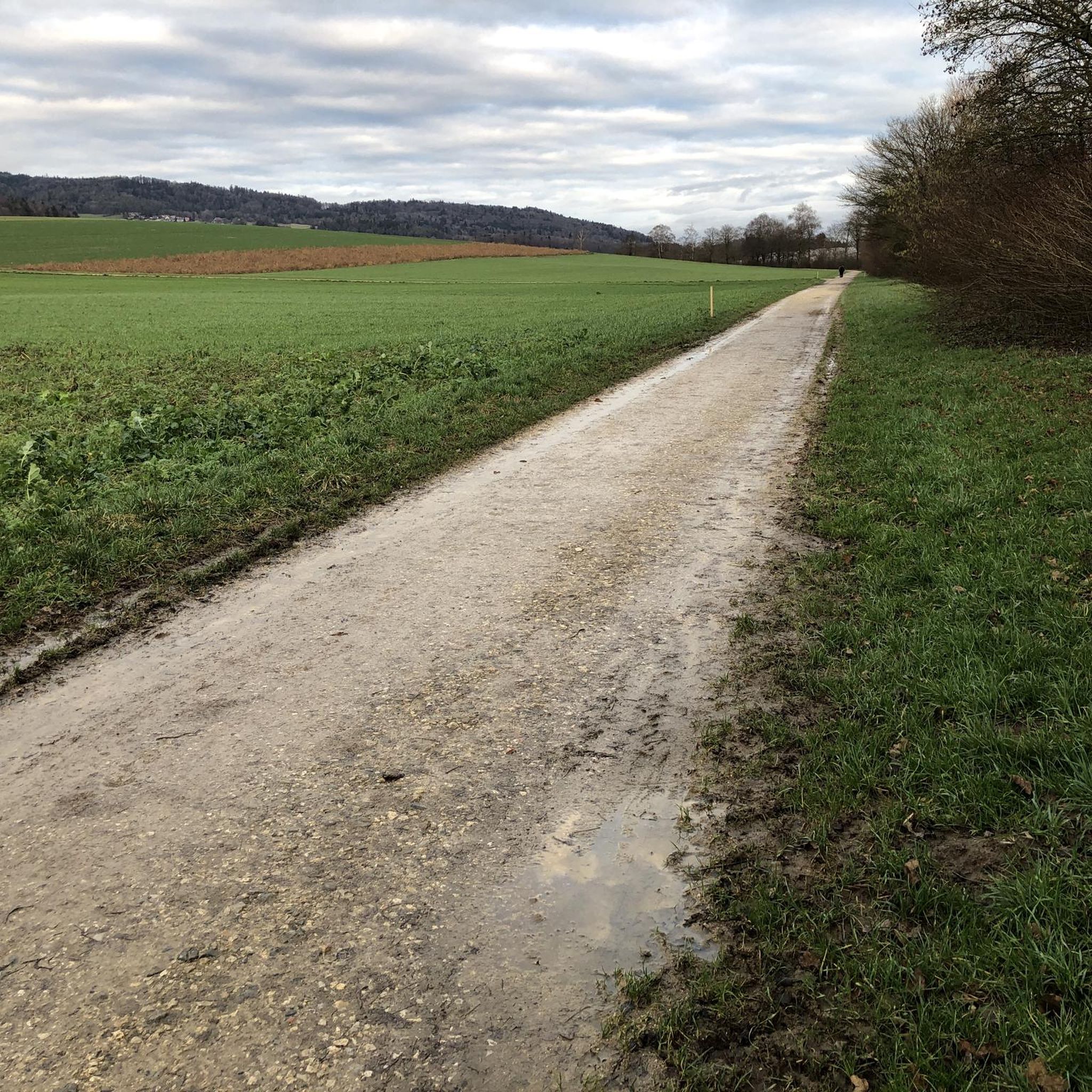
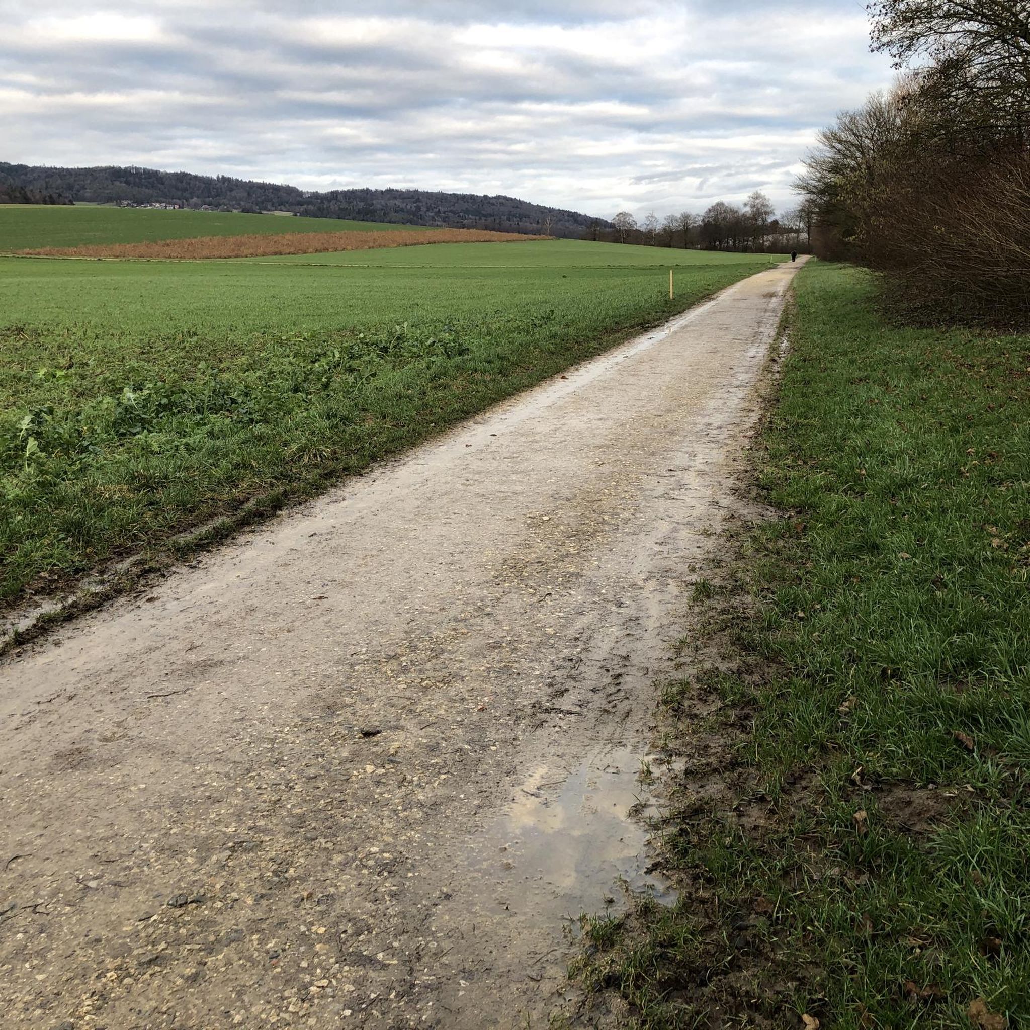
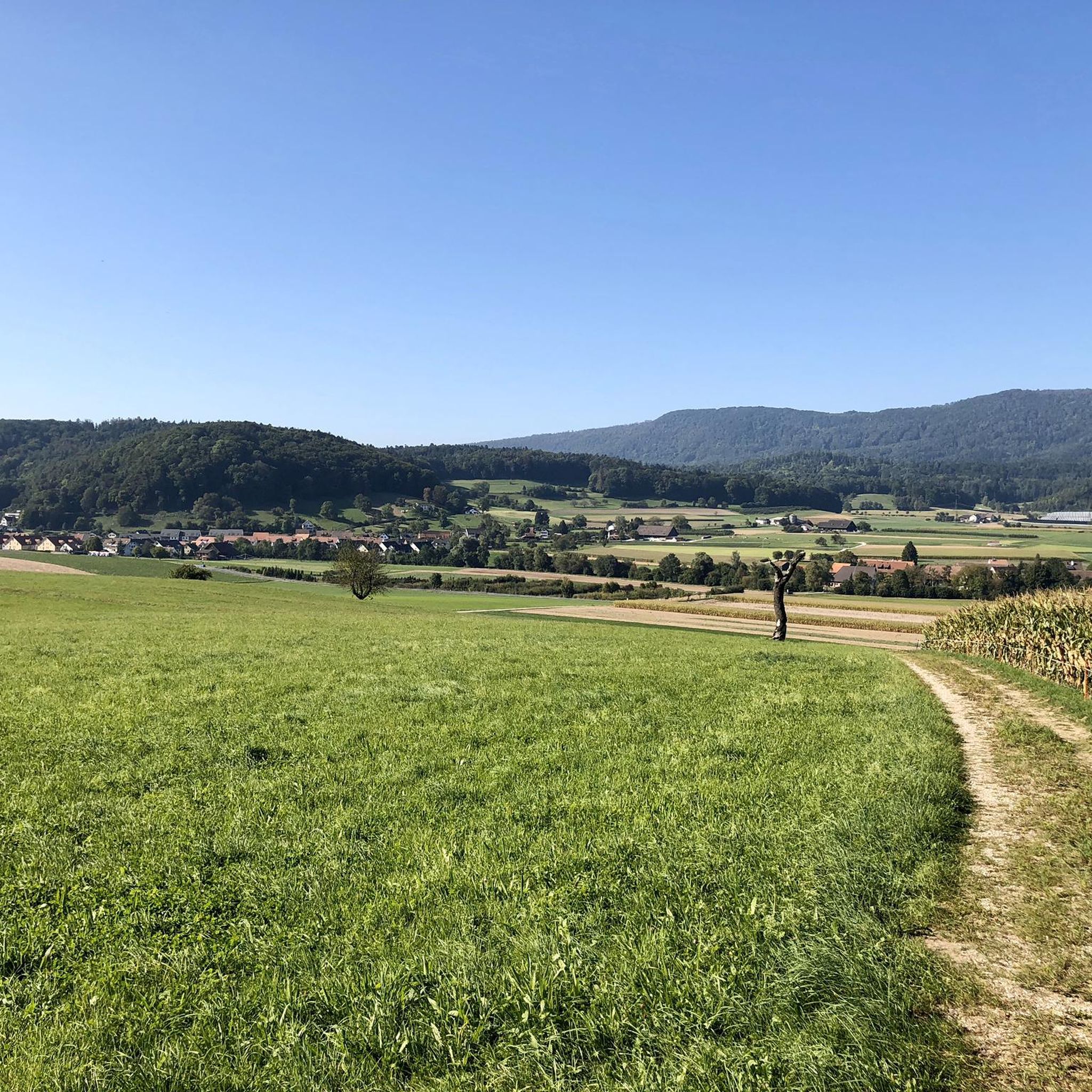
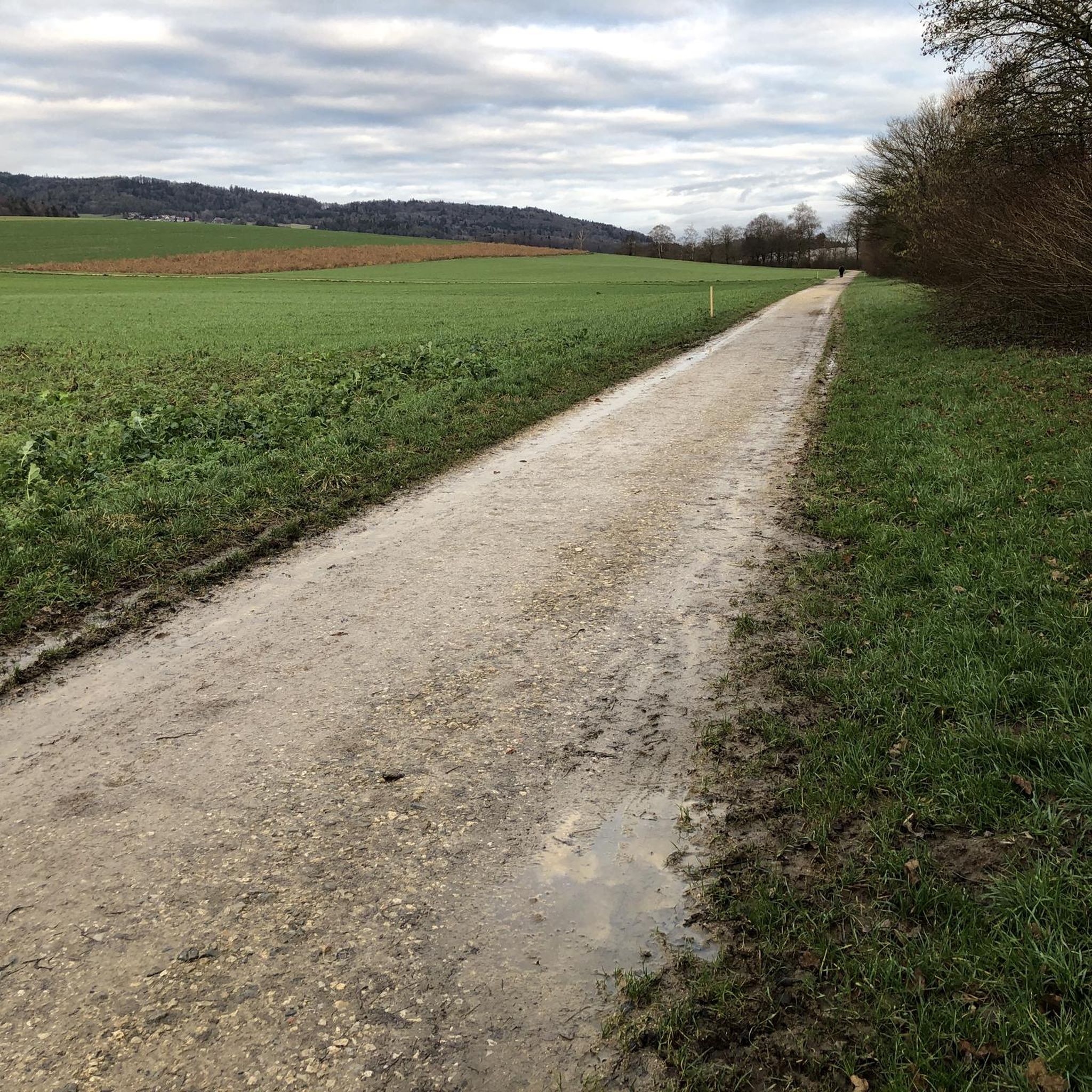
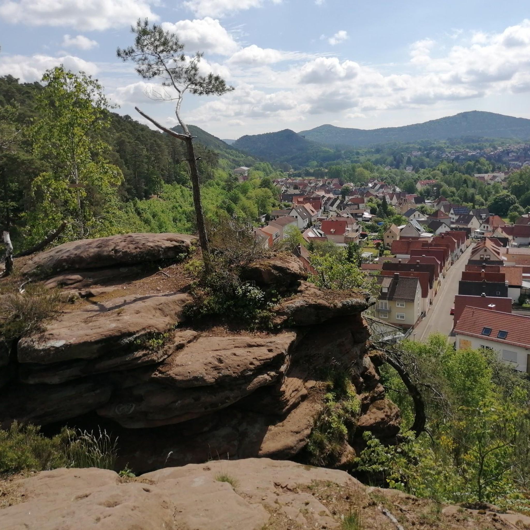
Jogging around Hüttikon offers diverse landscapes, situated in the scenic Furttal valley with borders to the Canton of Aargau. The region is characterized by extensive forests, covering 36% of its area, and vast agricultural lands, making up 52.2%. This combination provides a variety of running trails, from shaded forest paths to open pastoral settings. Elevated points like the Lägerngrat ridge and Altberg offer panoramic views across the Swiss plateau.
Best jogging routes around Hüttikon
- The most popular jogging route is…
Last updated: September 30, 2026
5.0
(5)
183
runners
Moderate run. Good fitness required. Mostly paved surfaces. Suitable for all skill levels.
22
runners
8.49km
00:54
70m
70m
Moderate run. Good fitness required. Mostly paved surfaces. Suitable for all skill levels.

20
runners
6.21km
00:39
30m
30m
Moderate run. Good fitness required. Mostly paved surfaces. Suitable for all skill levels.
13
runners
10.4km
01:16
240m
240m
Moderate run. Good fitness required. Mostly paved surfaces. Suitable for all skill levels.
11
runners
9.28km
01:00
100m
100m
Moderate run. Good fitness required. Mostly paved surfaces. Suitable for all skill levels.
Get access to more routes and recommendations from other explorers.
Already have an account?
Our route recommendations are based on thousands of hikes, rides, and runs completed by other people on komoot.
Start today with a free account
Your next adventure awaits.
Tips from the Community


Beautiful route directly on the water
0
0

Very nice and car-free bike path. Watch out for joggers and dog walkers.
0
0

Great little detour on the island between the river and the canal.
1
0

Here, the Limmat forms an island that is easy to explore by bike thanks to the path that crosses it. The detour is pleasant to enjoy a moment of calm at the water's edge.
0
0

Beautiful village with some old well-kept half-timbered houses🇨🇭👍
1
0

Otelfingen in the Limattal, a well-kept village with many beautiful half-timbered houses.
0
0
Frequently Asked Questions
How many running routes are available around Hüttikon?
There are over 600 running routes available around Hüttikon, offering a wide variety of options for different preferences and fitness levels. The komoot community has explored more than 23,000 routes in the area.
What kind of terrain can I expect on running trails in Hüttikon?
Hüttikon offers diverse terrain for running. You'll find extensive forested areas providing shaded paths, vast agricultural lands with open views, and more challenging trails along the prominent Lägerngrat ridge. For flatter options, the Limmat Riverside Path offers a pleasant, car-free experience.
Are there running routes suitable for beginners in Hüttikon?
Yes, Hüttikon has routes suitable for beginners. While many routes are moderate, there are 27 easy running trails available. For example, the Limmat River – Limmat Riverside Path loop from Oetwil is a relatively flat route, ideal for an easier run.
Are there any challenging running trails with significant elevation gain?
For those seeking a challenge, Hüttikon offers several routes with notable elevation gain. The Lägerngrat ridge trail, for instance, is known for its demanding sections and panoramic views. There are 88 difficult routes in the area for experienced runners.
What do other runners say about the trails in Hüttikon?
The running routes in Hüttikon are highly rated by the komoot community, with an average score of 4.5 stars from over 790 reviews. Runners often praise the varied terrain, from tranquil forest paths to scenic viewpoints, and the well-maintained trails.
Are there circular running routes around Hüttikon?
Yes, many running routes around Hüttikon are designed as loops. Popular options include the Running loop from Würenlos, which offers varied terrain, and the Altberg Forest Inn – Altberg Observation Tower loop from Dänikon, which takes you through forests and past a viewpoint.
Are there any interesting landmarks or viewpoints along the running routes?
Absolutely. The Altberg Forest Inn – Altberg Observation Tower loop from Dänikon leads directly to the Altberg Observation Tower, offering breathtaking views of the Lägern, Zurich, and the Alpine peaks. The Lägerngrat ridge itself provides spectacular panoramic vistas across the Swiss plateau.
Can I find family-friendly running routes in Hüttikon?
Yes, many of the easier and moderate routes are suitable for families. The Limmat River – Limmat Riverside Path loop from Oetwil is a great option, offering a pleasant, car-free environment along the river that is enjoyable for all ages.
Are dogs allowed on the running trails in Hüttikon?
Generally, dogs are welcome on most trails in the Hüttikon area, especially in forested and agricultural lands. However, it's always advisable to keep them on a leash, particularly in nature reserves or near livestock, and to check local signage for specific restrictions.
Are there any places to stop for refreshments near the running trails?
Yes, for example, the area around the Altberg Observation Tower features a forest tavern, which is a great spot to refuel after a run. You might also find cafes or small eateries in the nearby villages like Hüttikon itself or Dänikon.
What are some hidden gems or less-known trails for running in Hüttikon?
While specific 'hidden' trails aren't explicitly listed, exploring the numerous paths through Hüttikon's 36% forested areas and 52.2% agricultural lands can lead to tranquil and less-trafficked routes. Look for smaller loops branching off main paths for a more secluded experience.
Can I reach the running trails in Hüttikon using public transport?
Hüttikon is generally accessible by public transport, connecting it to larger towns. Many routes start from or pass through villages that have bus stops, making it possible to reach various trailheads without a car. It's recommended to check local bus schedules for specific starting points.
Is there parking available near the running routes in Hüttikon?
Yes, parking is typically available in or near the villages that serve as starting points for many running routes, such as Hüttikon, Oetwil, or Dänikon. Look for designated parking areas or public car parks, especially near popular trailheads.
Most popular attractions around Hüttikon

Get inspired with the komoot mobile app


Explore more
Browse the best Running Trails & Routes in other regions.
