The best road cycling routes around La Godivelle
4.9
(15)
348
riders
35
rides
Road cycling routes around La Godivelle traverse diverse landscapes within the Parc naturel régional des Volcans d'Auvergne. The region features "middle mountain" relief, characterized by volcanic terrain, rough plateaus, and forests with fast-flowing streams. Cyclists can expect varied terrain, including challenging climbs and descents, with routes often reaching altitudes of over 1200 meters. Many routes are on well-paved surfaces, offering access to the area's unique natural features like its two volcanic lakes.
Best road cycling routes around La Godivelle
- The…
Last updated: May 20, 2026
5.0
(2)
36
riders
47.1km
02:30
900m
900m
Moderate road ride. Good fitness required. Mostly well-paved surfaces and easy to ride.
5.0
(6)
198
riders
97.5km
05:13
1,920m
1,920m
Hard road ride. Very good fitness required. Mostly well-paved surfaces and easy to ride.

Sign up for free
5.0
(2)
23
riders
32.7km
01:37
530m
530m
Moderate road ride. Good fitness required. Mostly well-paved surfaces and easy to ride.
5.0
(1)
8
riders
22.8km
01:10
370m
370m
Moderate road ride. Good fitness required. Some segments of this route may be unpaved and difficult to ride.
4.0
(1)
10
riders
46.7km
02:40
850m
850m
Moderate road ride. Good fitness required. Some segments of this route may be unpaved and difficult to ride.
Get access to more routes and recommendations from other explorers.
Sign up for free
Already have an account?
Our route recommendations are based on thousands of hikes, rides, and runs completed by other people on komoot.
Start today with a free account
Your next adventure awaits.
Login or Signup


Tips from the Community


A wonderful pass, superb landscapes! And a very beautiful route
0
0

Pleasant and fairly easy. Beautiful route.
0
0

Why didn't you make the Luguet signal? You have to go through Parrot... a place called. After the GR path... to the Luguet woods.
0
0
Not too difficult, I did it on a mountain bike.
0
0

Very pretty town center. A must-see.
0
0
Magnificent scenery on quiet roads. A must-do!
0
0
Frequently Asked Questions
How many road cycling routes are available around La Godivelle?
There are over 30 road cycling routes around La Godivelle, catering to various skill levels. You'll find a mix of easy, moderate, and difficult trails to explore the region's unique volcanic landscapes.
What kind of terrain can I expect on road cycling routes in La Godivelle?
Road cycling in La Godivelle features diverse 'middle mountain' relief. You'll encounter volcanic terrain, rough plateaus, and forests with fast-flowing streams. Routes often include challenging climbs and descents, reaching altitudes over 1200 meters, though many are on well-paved surfaces.
Are there any easy road cycling routes for beginners or families?
Yes, while many routes offer challenges, there are options suitable for beginners. For example, the La Godivelle, lac d'en bas – La Godivelle loop from La Godivelle is a moderate route that offers a good introduction to the area's scenery without extreme difficulty.
What are the most scenic natural features to see while cycling in La Godivelle?
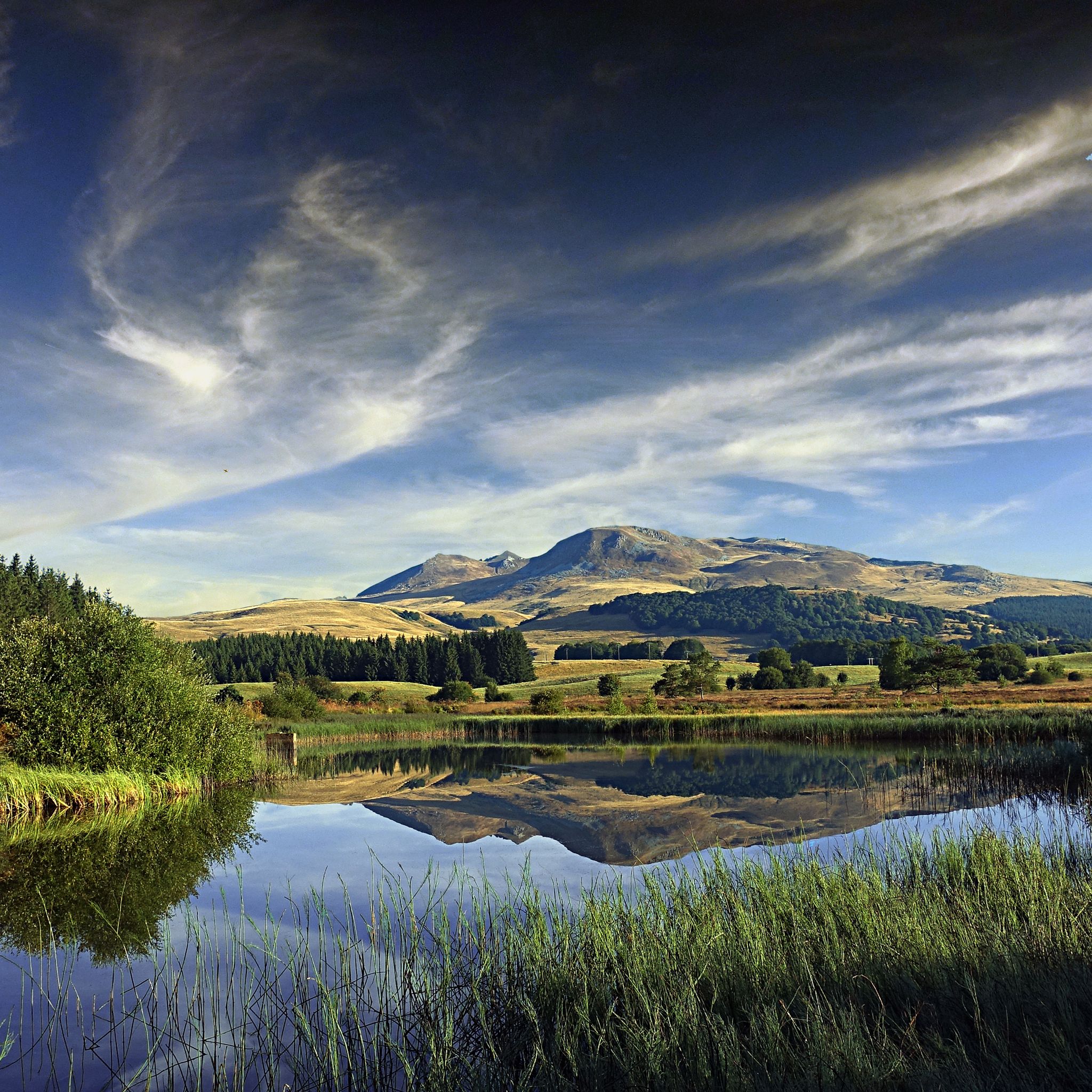
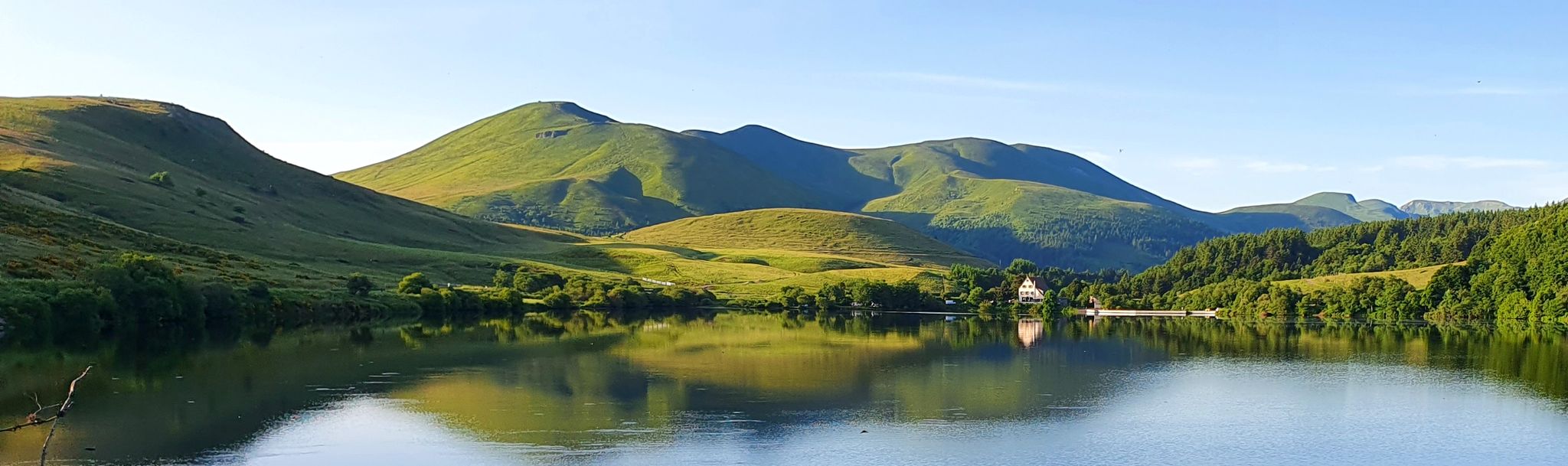
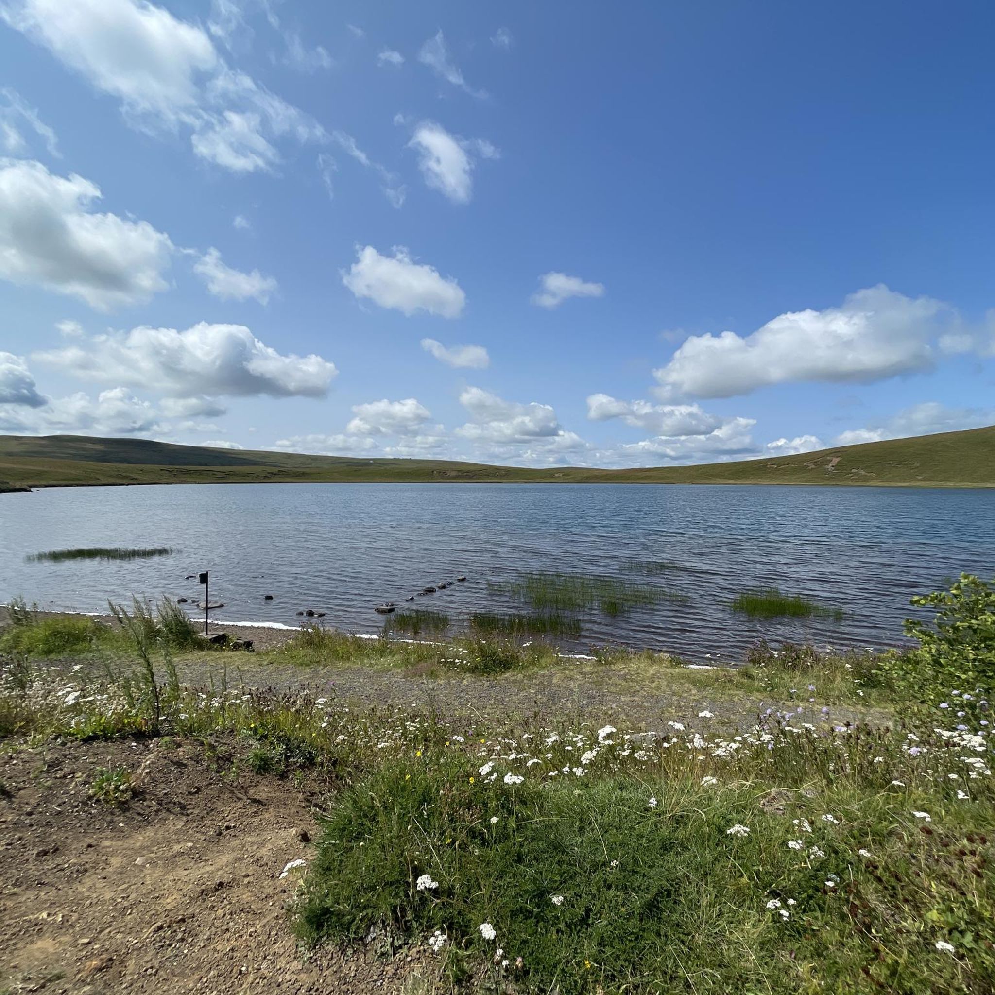
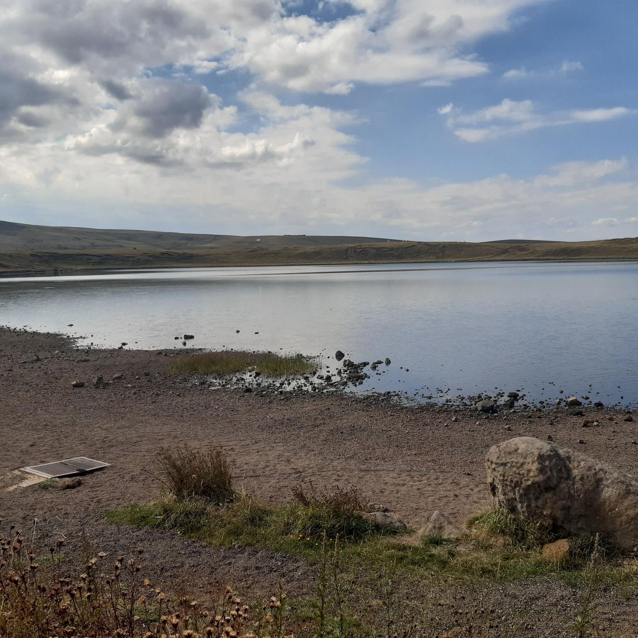
The region is known for its two volcanic lakes, Lac d'en-Haut and Lac d'en-Bas, which are central to many routes and offer picturesque views. You can also explore the Sagnes de La Godivelle National Nature Reserve, a protected wetland area rich in biodiversity.
Are there any notable landmarks or attractions along the road cycling routes?
Beyond the natural beauty, you can visit the charming village of La Godivelle itself, known for its Romanesque church and large fountain. Cycling routes also offer panoramic views of the Massif du Sancy and the Cantal mountains. You might also pass by highlights like Lake Bourdouze or viewpoints such as View of Mont Chamaroux and the Cézallier mountains.
What do other road cyclists enjoy most about cycling in La Godivelle?
The area is highly rated by the komoot community, with an average score of 4.9 stars. Reviewers often praise the diverse landscapes, the challenging yet rewarding climbs, and the magnificent panoramic views of the volcanic terrain and plateaus.
Are there circular road cycling routes available?
Yes, many routes around La Godivelle are designed as loops. A popular option is the Cézallier Plateau Loop, which offers diverse landscapes and panoramic views over 29 miles.
What is the best time of year to go road cycling in La Godivelle?
The region is generally best for road cycling during the warmer months, typically from late spring to early autumn. During these seasons, the weather is more stable, and routes are free from snow, allowing for full enjoyment of the high-altitude plateaus and scenic views. Winter conditions can make some routes challenging or inaccessible.
Where can I find parking for road cycling routes in La Godivelle?
Parking is generally available in and around the village of La Godivelle, which serves as a common starting point for many routes. Specific trailheads may also have designated parking areas, but it's advisable to check individual route details for precise information.
Are there any amenities like cafes or places to refill water along the routes?
The village of La Godivelle itself has amenities, including a large fountain that provides drinkable fresh water. While some routes may pass through other small villages with limited services, it's recommended to carry sufficient water and snacks, especially on longer or more remote rides, as cafes and shops can be sparse in the Cézallier region.
What is the most challenging road cycling route in the area?
For experienced cyclists seeking a significant challenge, the Col de la Croix Morand – Col de La Croix Morand loop from Espinchal is a difficult 60.9-mile path. This route features substantial elevation gain, climbing over 1900 meters through volcanic areas, and is a favorite among local road cyclists for its intensity.
Can I combine road cycling with exploring the region's lakes?
Absolutely. La Godivelle is uniquely situated between two volcanic lakes, Lac d'en-Haut and Lac d'en-Bas, and many routes offer views or direct access to these serene bodies of water. You can also find other beautiful lakes nearby, such as Lake Pavin or Lac Chauvet, which are often incorporated into longer rides.
Most popular routes around La Godivelle
Most popular attractions around La Godivelle

Get inspired with the komoot mobile app


Explore more
Browse the best Road cycling routes in other regions.
