The best mountain hikes around La Verrerie
4.3
(6)
84
hikers
6
hikes
Mountaineering routes around La Verrerie are situated in a mountainous region near Lake Geneva, characterized by prominent peaks such as Le Moléson and Dent de Lys. The terrain features pre-Alpine flora and offers expansive views of the surrounding natural scenery. This area provides a network of trails suitable for mountain hikes, with varying elevations and landscapes. The region's geology contributes to diverse paths, ranging from forested sections to more exposed mountain slopes.
Best mountaineering routes around La Verrerie
- The most…
Last updated: August 27, 2026
19
hikers
5.30km
03:11
510m
510m
Hard mountaineering route. Good fitness required. Sure-footedness, sturdy shoes and alpine experience required.
4.5
(2)
16
hikers
Hard mountaineering route. Very good fitness required. Mostly accessible paths. Sure-footedness required.

Sign up for free
4.0
(1)
12
hikers
10.9km
04:52
800m
800m
Hard mountaineering route. Good fitness required. Sure-footedness, sturdy shoes and alpine experience required.
11
hikers
9.19km
04:53
860m
860m
Hard mountaineering route. Good fitness required. Sure-footedness, sturdy shoes and alpine experience required.
4.0
(1)
11
hikers
10.5km
04:39
730m
730m
Hard mountaineering route. Good fitness required. Sure-footedness, sturdy shoes and alpine experience required.
Our route recommendations are based on thousands of hikes, rides, and runs completed by other people on komoot.
Start today with a free account
Your next adventure awaits.
Login or Signup
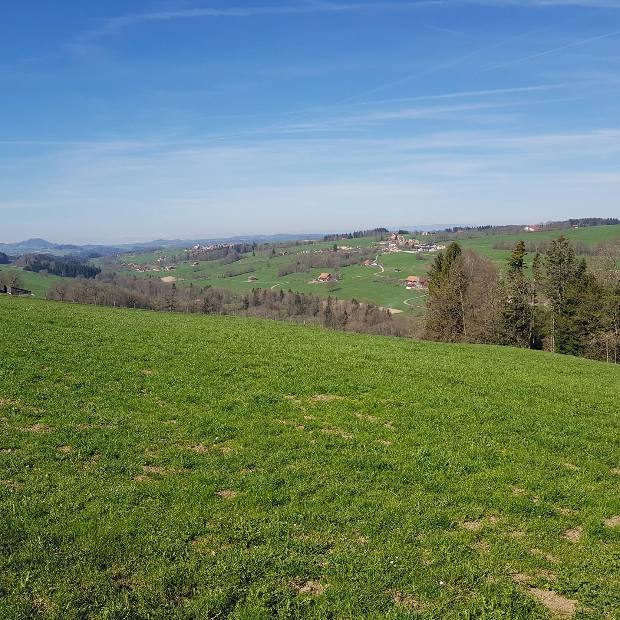
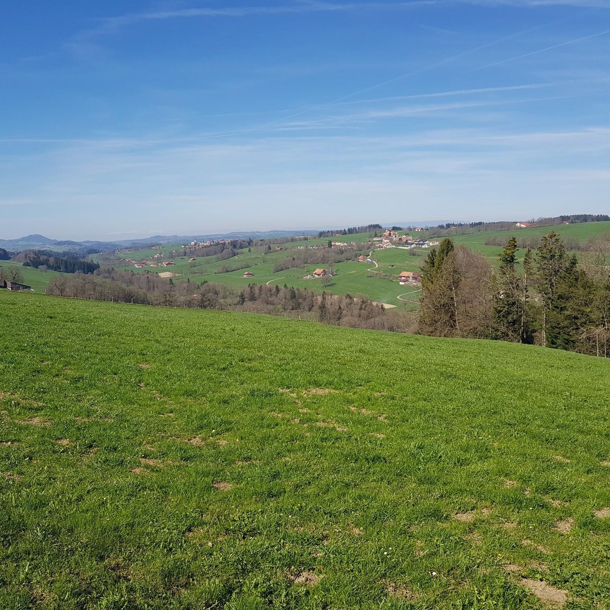
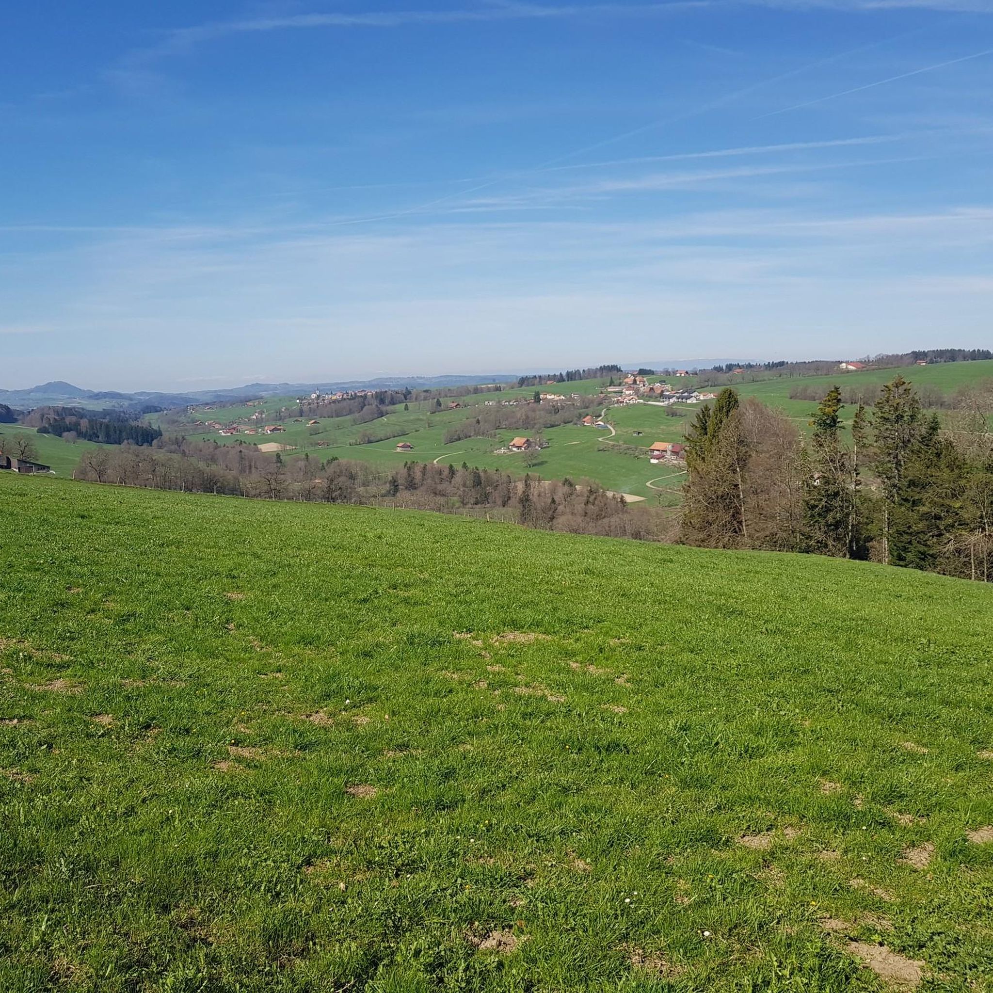
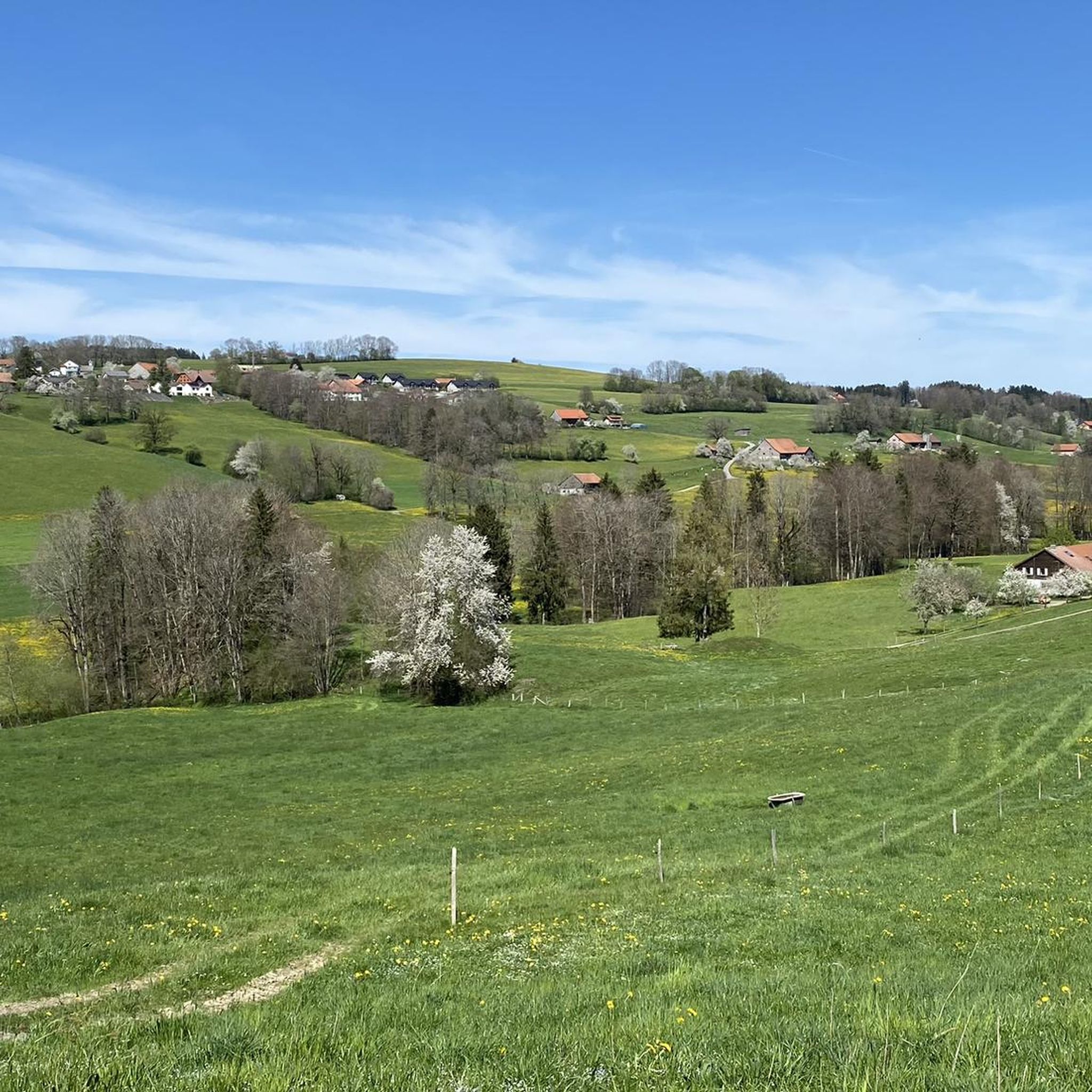
Tips from the Community

Two legendary routes lead directly through the striking north face. Both start from the Mittelstation Plan-Francey (25 min approach) and end at the Vorgipfel. 🔵 Via Ferrata "Le Pilier" (K4 / C-D) Character: Sporty, sunny pleasure route over the northeast pillar. Requirement: Varied with steep steps and ledges. Perfect for experienced via ferrata climbers. 🔴 Via Ferrata "La Face" (K5 / D-E) Character: extremely exposed and very athletic directly through the wall. Requirement: Requires a lot of arm strength! At the end, a key section awaits: Either the bypass (K4+) or the strenuous overhang (K5+). 💡 Short Info: Equipment: Rental directly at the Mittelstation Plan-Francey possible. Fee: CHF 4.– for the maintenance of the facility. Descent: Float comfortably back to the Mittelstation with the cable car from the summit. Important: As it is a north face, only enter in absolutely dry conditions!
0
0

A lovely hike with a fair amount of climbing. Upon reaching the top, you climb the ridge to the summit. Magnificent view ♡ People with a fear of heights should avoid! This hike is not ideal for those with a dog or walking poles.
1
0

Friendly welcome, excellent meal and reasonable price
0
0

The grassy summit of Mys Derrey sits 1863 meters above sea level and offers stunning views of the surrounding mountains and valleys. The best time to visit this peak is from May to October, when the wildflowers are in bloom and the weather is pleasant. You may also spot wildlife along the path, such as marmots and deer. Mys Derrey is an ideal destination for adventurous hikers.
2
0
This summit is part of the Moléson massif and offers a breathtaking view of Lake Gruyère.
2
0

Superb view of the Dent de Lys and the adjacent valley! The setting is grandiose and ideal for trail running!
0
0

Narrow path on the steep slope of the Moléson with a great view and (in autumn) wonderful colors.
1
0

Looking towards the Jura is worthwhile
0
0
Frequently Asked Questions
Where is the La Verrerie region for mountaineering located?
The La Verrerie region, known for its mountaineering routes, is situated near Lake Geneva in Switzerland. It's characterized by prominent peaks like Le Moléson and Dent de Lys, offering a classic pre-Alpine mountain experience.
What kind of terrain and landscapes can I expect on mountaineering routes around La Verrerie?
Mountaineering routes in La Verrerie feature diverse terrain, ranging from forested sections to more exposed mountain slopes. You'll encounter pre-Alpine flora and enjoy expansive views of the surrounding natural scenery, including panoramic vistas from summits like Le Moléson Summit.
How many mountaineering routes are available in La Verrerie, and what are their difficulty levels?
There are 12 mountaineering routes available around La Verrerie. These routes are evenly split between moderate and difficult classifications, with 6 moderate and 6 difficult options to choose from.
What are some notable landmarks or viewpoints I can experience along these routes?
Along the mountaineering routes, you can reach significant viewpoints such as Le Moléson Summit, which offers amazing panoramic views. You might also encounter the Moléson Botanical Trail, showcasing rich pre-Alpine flora, or pass by mountain huts like Le Gros-Plané.
Are there any circular mountaineering routes in La Verrerie?
Yes, several routes in La Verrerie are circular. For example, the popular Le Moléson Summit loop from Plan-Francey and the more challenging Le Gros-Plané – Le Moléson Summit loop from Le Moléson are both circular tours.
What are the typical distances and durations for mountaineering routes in La Verrerie?
The mountaineering routes in La Verrerie vary in length and duration. You can find routes like the Le Gros-Plané – Le Moléson Summit loop from Le Moléson, which is about 3.7 miles (6.0 km) and takes around 3 hours 20 minutes, up to longer ones like the Le Moléson Summit – Summit Cross on Moléson loop from La Casa Derrey, spanning over 8 miles (13.3 km) and requiring about 5 hours 40 minutes.
Is La Verrerie suitable for beginner mountaineers?
While La Verrerie offers challenging terrain, there are 6 moderate routes available that could be suitable for beginners with a good level of fitness and some hiking experience. These routes provide a great introduction to mountaineering in the region without extreme technical difficulty.
When is the best time of year to go mountaineering in La Verrerie?
The best time for mountaineering in La Verrerie is generally during the warmer months, from late spring to early autumn, when trails are clear of snow and weather conditions are more stable. This allows for optimal enjoyment of the panoramic views and diverse landscapes.
Are there options for food or accommodation near the mountaineering trails?
Yes, there are several options for food and accommodation. You can find mountain huts like La Saletta and Buvette le Vuipay, or even a restaurant at Auberge du Petit Pêcheur Petting Zoo and Restaurant, which can be found along or near the routes.
Can I bring my dog on the mountaineering routes in La Verrerie?
While the guide data doesn't specify dog-friendly routes, many mountain trails in Switzerland generally welcome dogs, often on a leash. It's always recommended to check local regulations or specific trail signs before heading out with your dog, especially in protected areas or near livestock.
What do other mountaineers enjoy most about mountaineering in La Verrerie?
The mountaineering routes in La Verrerie are highly rated by the komoot community, with an average score of 4.6 stars. Reviewers often praise the stunning panoramic views from summits like Le Moléson and the varied mountain terrain that makes for a rewarding experience.
Are there any advanced mountaineering routes for experienced climbers?
Yes, La Verrerie offers 6 difficult mountaineering routes for experienced climbers seeking a challenge. These routes, such as the Dent de Lys loop from Les Paccots, feature significant elevation gains and more demanding terrain.
How can I access the starting points for mountaineering routes in La Verrerie?
Many routes start from accessible points like Plan-Francey or Le Moléson itself, which can often be reached by public transport or have parking facilities. For instance, the Le Moléson Summit loop from Plan-Francey begins from a well-known mountain station.
Most popular routes around La Verrerie
Most popular attractions around La Verrerie

Get inspired with the komoot mobile app


Explore more
Browse the best Mountain Hikes & Routes in other regions.
