The best walks and hikes around Andrichsfurt
4.4
(317)
1,952
hikers
292
hikes
Hiking around Andrichsfurt offers a network of trails through gently rolling hills and the scenic Innviertel area. The landscape is characterized by accessible terrain, providing diverse routes for various skill levels. Features include the Hausruckwald forest, which offers shaded paths, and the Stelzerberg Mountain, providing elevated views. This region in Upper Austria is well-suited for outdoor activities, with dedicated hiking paths.
Best hiking trails around Andrichsfurt
- The most popular hiking route is Sculpture Park – Forest Art Trail loop from…
Last updated: July 5, 2026
4.3
(3)
26
hikers
Easy hike. Great for any fitness level. Easily-accessible paths. Suitable for all skill levels.
19
hikers
7.92km
02:04
60m
60m
Moderate hike. Good fitness required. Easily-accessible paths. Suitable for all skill levels.

Sign up for free
5.0
(2)
15
hikers
3.68km
00:57
20m
20m
Easy hike. Great for any fitness level. Easily-accessible paths. Suitable for all skill levels.
4.3
(3)
14
hikers
5.20km
01:23
60m
60m
Easy hike. Great for any fitness level. Easily-accessible paths. Suitable for all skill levels.
14
hikers
Moderate hike. Good fitness required. Easily-accessible paths. Suitable for all skill levels.
Get access to more routes and recommendations from other explorers.
Sign up for free
Already have an account?
Our route recommendations are based on thousands of hikes, rides, and runs completed by other people on komoot.
Start today with a free account
Your next adventure awaits.
Login or Signup
Tips from the Community

Ried im Innkreis is a town in western Upper Austria with 12,766 inhabitants, located approximately 80 kilometers west of Linz and 60 kilometers northeast of Salzburg. It is the district capital of the Ried district and a regional center within the Innviertel region. It is also the center of the Ried im Innkreis judicial district.
2
0
Great bike garage with a beautiful registry office
2
0
A beautiful statue stands in the main square of Ried im Innkreis! As do many other sights, such as the parish church, which houses sculptures by the Schwanthaler family, the Museum of Folklore, and other buildings! Guided tours are also available! Highly recommended!
2
0
If you're a beer lover looking for non-alcoholic alternatives, you'll find what you're looking for with "Rieder Alkoholfrei." Unlike many other non-alcoholic beers, this beer contains no wheat malt. This means the beer's flavor is predominantly hoppy. Awards and beer connoisseurs confirm its excellent taste! Additionally, the beer is very low in calories, which is a major plus, especially for health-conscious, active consumers.
2
1
Historic gate as access to the old town
2
0
Ried is situated in the heart of the Innviertel hill country, in a depression of the Alpine foothills north of the Hausruck Forest. The town's name derives from the Middle High German word "Riet" (also: "Rieth," "Reet," "Rohr," and similar terms), meaning reeds growing on riverbanks and marshy ground. A spot where the gradient of the two rivers, Oberach and Breitsach, slowed and saturated the soil gave the town its name. The two rivers converge north of the old town to form the Rieder Bach, a stream that flows for 2.6 kilometers before emptying into the Antiesen River outside the town limits. Ried im Innkreis lies at an altitude of 433 meters. It extends 3.2 kilometers from north to south and 3.6 kilometers from west to east, covering a total area of 6.7 square kilometers.
3
0
Franz Stelzhamer had close ties to the city, which played an important role in his life and work.
2
0
Ried im Innkreis is a town in western Upper Austria with 12,766 inhabitants, located approximately 80 kilometers west of Linz and 60 kilometers northeast of Salzburg. It is the district capital of the Ried district and a regional center within the Innviertel region. It is also the center of the Ried im Innkreis judicial district.
2
0
Frequently Asked Questions
How many hiking trails are available around Andrichsfurt?
Andrichsfurt offers a comprehensive network of over 300 hiking trails. These routes cater to various preferences, with approximately 150 easy trails, 150 moderate options, and a few more challenging paths for experienced hikers.
What kind of terrain can I expect on hikes in Andrichsfurt?
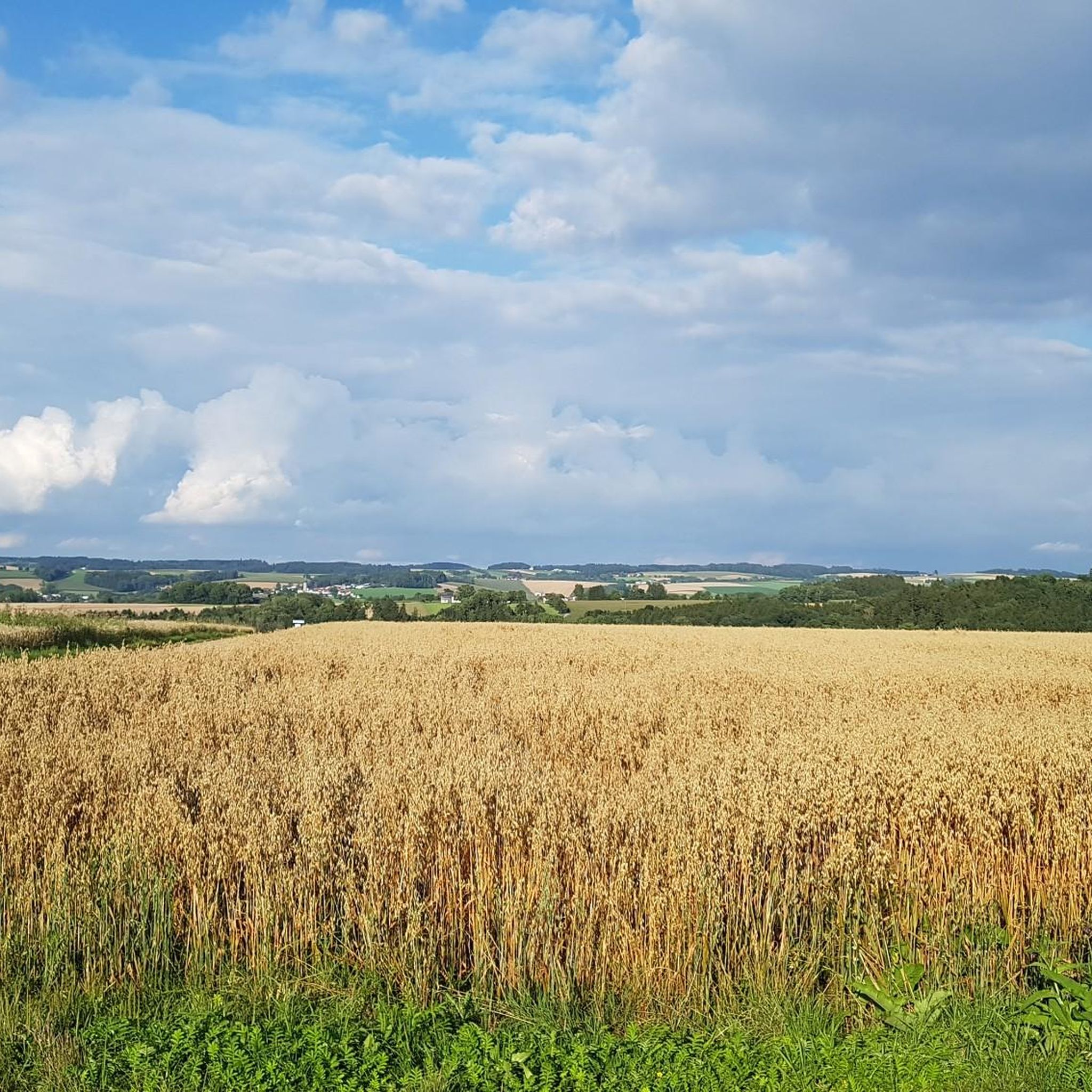
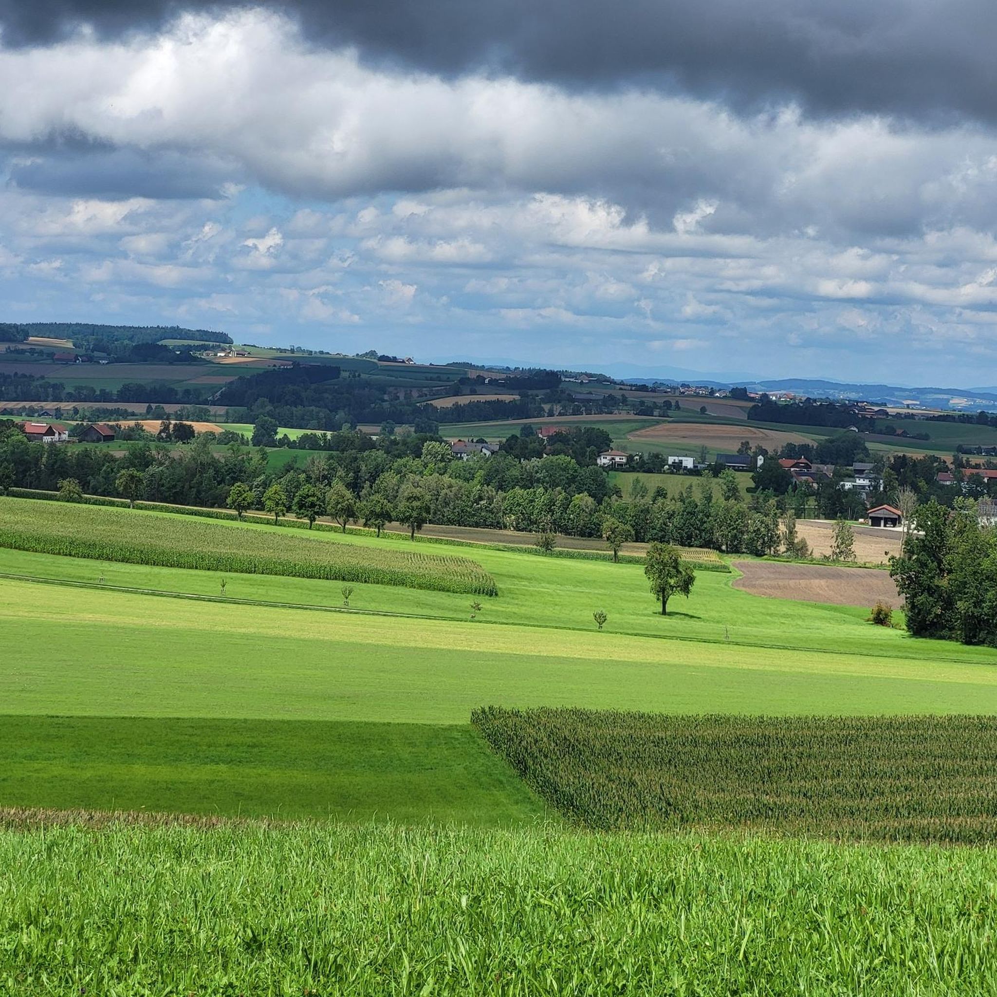
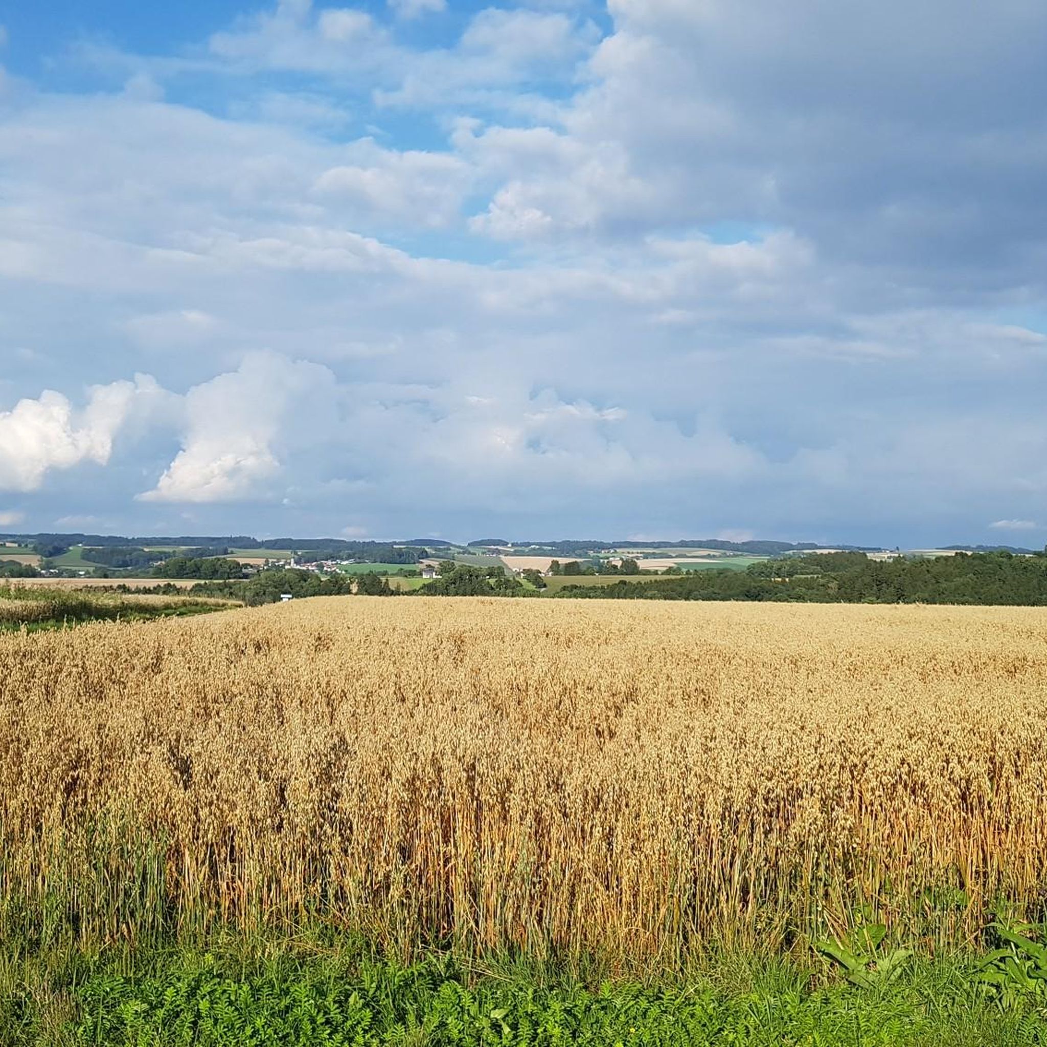
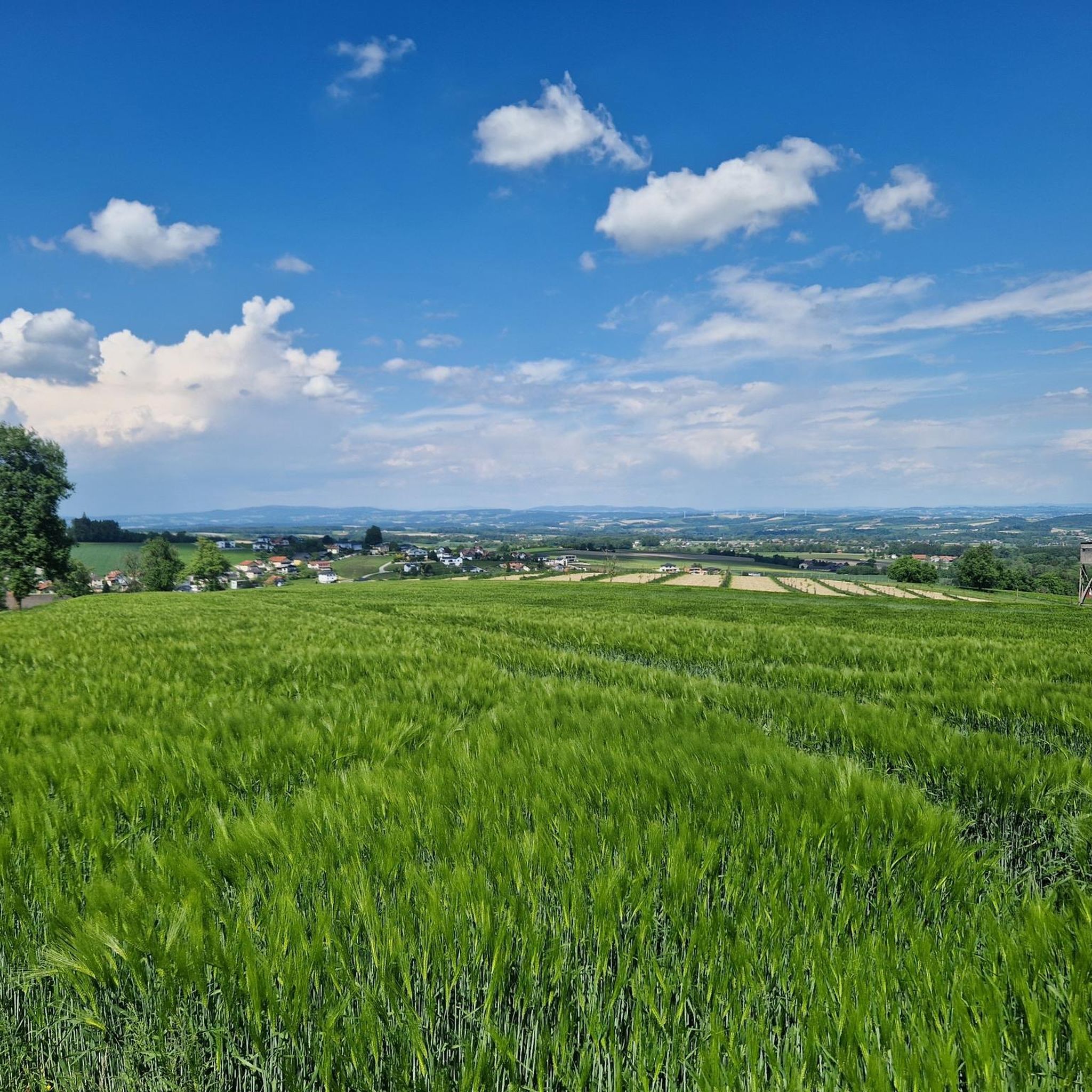
The hiking trails around Andrichsfurt are characterized by gently rolling hills, open countryside, and sections of the Hausruckwald forest. This varied topography provides a mix of easy strolls through meadows and more immersive forest paths, offering diverse experiences for all skill levels.
Are there any scenic viewpoints or landmarks to discover while hiking?
Yes, hikers can enjoy several scenic spots. The "Hochstraß" vantage point on Stelzerberg Mountain offers uninterrupted panoramic views of the Innviertel area and the distant foothills of the Alps. Additionally, you might encounter the Kneipp Monument, which aligns with the Kneipp philosophy of health and wellness.
Are there any family-friendly hiking routes in Andrichsfurt?
Absolutely. Many trails are suitable for families. An easy option is the Sculpture Park – Forest Art Trail loop from Taiskirchen im Innkreis, which is 4.1 km long and takes just over an hour to complete, featuring minimal elevation gain. This route offers an engaging experience for all ages.
What do other hikers enjoy most about the trails in Andrichsfurt?
The hiking routes in Andrichsfurt are highly rated by the komoot community, with an average score of 4.4 stars from nearly 300 reviews. Hikers often praise the serene, picturesque landscapes, the peaceful escape from urban environments, and the well-maintained paths through rolling hills and forests.
Are there any circular walks available around Andrichsfurt?
Yes, many of the trails are designed as circular routes, allowing you to start and end at the same point. An example is the Playground on the Grassy Hill loop from Aurolzmünster, a moderate 7.9 km path that offers varied terrain and takes about two hours to complete.
Are there places to rest or have a picnic along the trails?
Yes, within the Hausruckwald forest, there is a dedicated Forest Spring and Picnic Area. This tranquil spot provides fresh water and a welcoming space to rest and enjoy a meal amidst nature, making it an ideal stop during your hike.
What kind of natural features can I expect to see on a hike?
Beyond the rolling hills and forests, you can explore various natural features. The region boasts an "outstanding natural beauty" with diverse flora and fauna. You might also encounter water features like the Source of the Pram or the Pram Reservoir, offering serene waterside views.
Are there any easy, shorter hikes suitable for a quick outing?
For a shorter, easy outing, consider the Along the Rieder Bach loop from Tumeltsham. This trail is approximately 3.7 km long and can be completed in about an hour, offering a pleasant walk with minimal elevation changes.
Can I find trails that lead through open landscapes?
Many routes in Andrichsfurt traverse open landscapes, providing expansive views. The Along the Rieder Bach – Playground on the Grassy Hill loop from Aurolzmünster is a good example, leading through open areas and taking about 1 hour 54 minutes to complete its 7.3 km distance.
Are there any lakes or water bodies near the hiking trails?
Yes, the area around Andrichsfurt features several lakes and reservoirs. You can find the Pram Reservoir and the Taiskirchen Reservoir, which offer pleasant scenery and opportunities for lakeside walks.
Most popular attractions around Andrichsfurt

Get inspired with the komoot mobile app


Explore more
Browse the best Hikes in other regions.
