The best mountain hikes around Zwischbergen
4.6
(69)
1,457
hikers
33
hikes
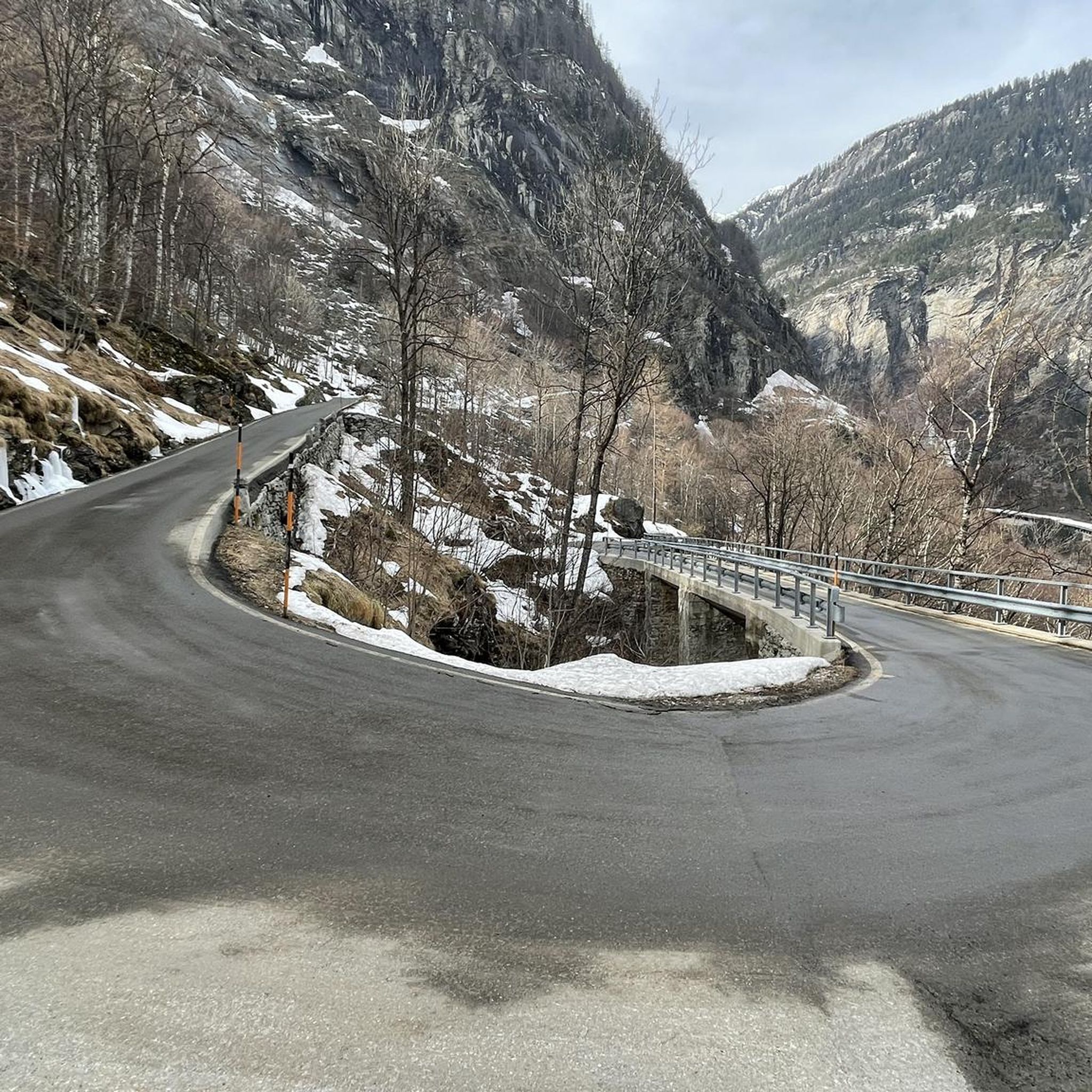
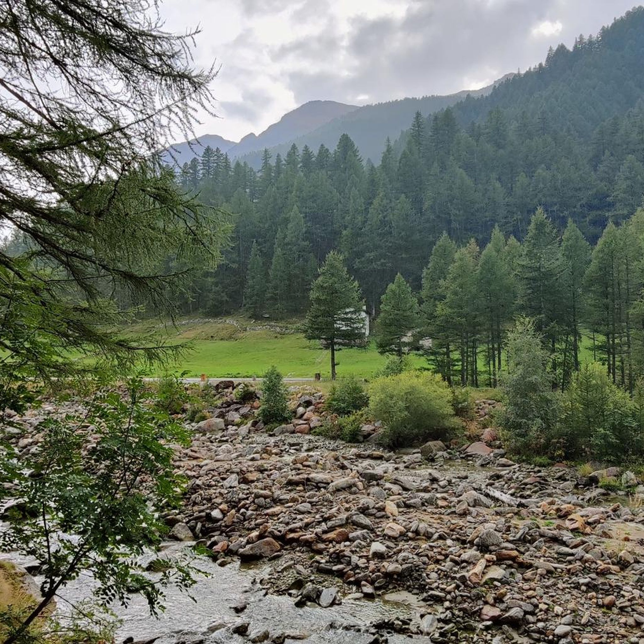
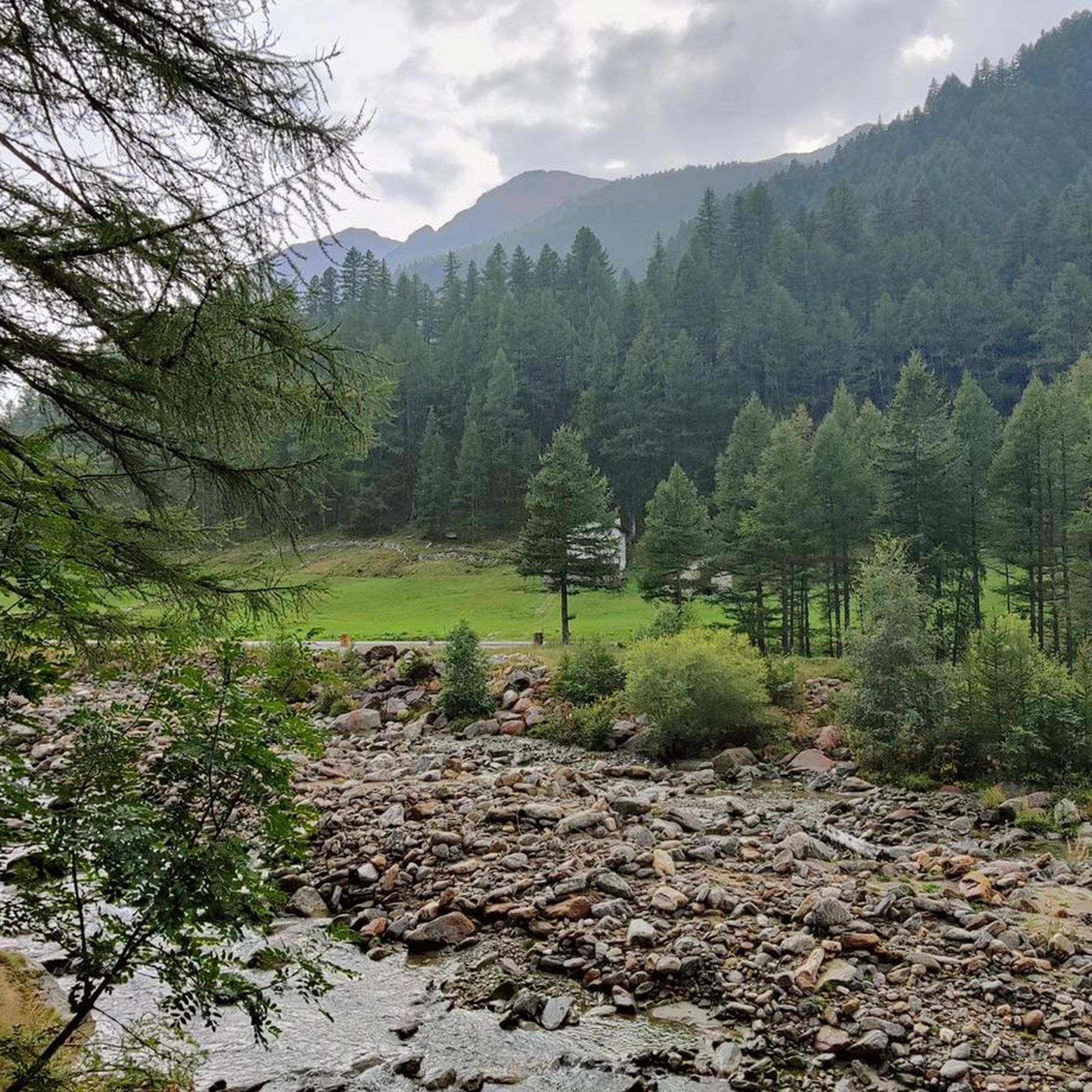
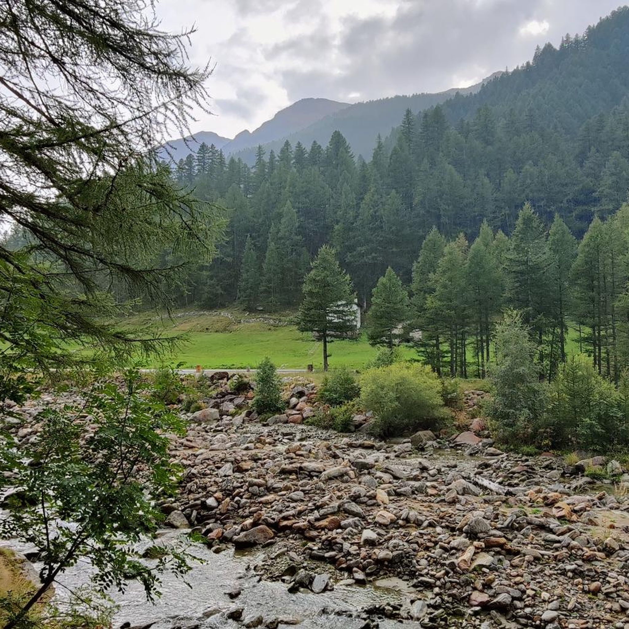
Mountaineering routes around Zwischbergen are set in the wild and romantic Zwischbergental valley, characterized by rugged landscapes and high mountain peaks. The region features dramatic natural elements such as the Gondo Gorge with its steep rock faces and the "Grosses Wasser" river. High peaks like the Weissmies (4,017 m) and Lagginhorn (4,010 m) define the skyline, offering challenging alpine experiences. The area also includes dense forests, mountain pastures, and tranquil mountain lakes, providing diverse terrain for mountaineering.
Best mountaineering routes…
Last updated: May 23, 2026
4.7
(7)
228
hikers
6.72km
06:53
1,170m
1,170m
Hard mountaineering route. Very good fitness required. Sure-footedness, sturdy shoes and alpine experience required.
4.8
(8)
117
hikers
12.7km
08:21
1,290m
1,290m
Hard mountaineering route. Very good fitness required. Sure-footedness, sturdy shoes and alpine experience required.

Sign up for free
4.9
(7)
109
hikers
12.8km
08:24
1,290m
1,290m
Hard mountaineering route. Very good fitness required. Sure-footedness, sturdy shoes and alpine experience required.
4.8
(4)
69
hikers
6.18km
07:24
940m
940m
Hard mountaineering route. Very good fitness required. Sure-footedness, sturdy shoes and alpine experience required.
4.5
(2)
65
hikers
7.10km
06:19
860m
870m
Hard mountaineering route. Very good fitness required. Sure-footedness, sturdy shoes and alpine experience required.
Get access to more routes and recommendations from other explorers.
Sign up for free
Already have an account?
Our route recommendations are based on thousands of hikes, rides, and runs completed by other people on komoot.
Start today with a free account
Your next adventure awaits.
Login or Signup
Tips from the Community

very pretty here, very pretty
0
0
very pretty here, very pretty
0
0

The Weissmies is the highest peak of the Weissmies/Lagginhorn/Fletschhorn trio. It is listed on the new maps at only 4017 m; previously, the elevation was given as 4023 m. The six meters of elevation loss is due to the melting of the summit cap, which is made entirely of ice. In return, the secondary peak to the southeast of the highest point (formerly P. 3965) has been upgraded by seven meters to 3972 m.
0
0
Frequently Asked Questions
How many mountaineering routes are available in Zwischbergen?
There are 38 mountaineering routes available in Zwischbergen on komoot, offering a range of challenging alpine experiences. Most of these, 28 routes, are classified as difficult, with 10 routes considered moderate.
What kind of terrain can I expect on mountaineering routes in Zwischbergen?
Mountaineering in Zwischbergen is characterized by high-alpine terrain, dramatic gorges like the Gondo Gorge, and significant mountain peaks such as the Weissmies (4,017 m) and Lagginhorn (4,010 m). You'll encounter rugged landscapes, dense forests, mountain pastures, and tranquil mountain lakes, including the picturesque Tschawinersee.
Are there any circular mountaineering routes in Zwischbergen?
Yes, several routes offer a circular experience. For example, the Lagginhorn Summit – Snowfield Crossing in Valais loop from Triftgletscher is a challenging circular route that includes a snowfield crossing. Another option is the Weissmieshütte – Jegihorn Summit loop from Jegihorn, which takes you to the Jegihorn Summit.
What are some notable natural features or landmarks to see along the routes?
The Zwischbergental valley itself is a highlight, with seven mountain lakes including the Tschawinersee. The Gondo Gorge is known for its steep rock faces and the 'Grosses Wasser' river. You can also visit the historic old gold mines at the valley's entrance. For specific viewpoints, consider routes that pass by the Weissmies Summit or the Hohsaas Summit & Mountain Restaurant for extensive panoramic views.
Are there any waterfalls in the Zwischbergen area?
Yes, the region features several impressive waterfalls. You might encounter the Sajont Waterfall, Rio Frua Waterfall, Fellbachfall Waterfall, or Almagellerbach Waterfall. The Gorge of the Rio Dagliano is also a notable natural attraction.
What is the best time of year for mountaineering in Zwischbergen?
The best time for mountaineering in Zwischbergen is typically during the warmer months, from late spring to early autumn, when trails are clear of snow and weather conditions are more stable. However, some high-alpine routes may retain snow and ice well into summer, requiring appropriate gear and experience. Winter offers opportunities for ski touring and snowshoeing.
Are there mountain huts or accommodation options along the routes?
Yes, mountain huts serve as excellent starting points and overnight stops for high-alpine adventures. The Weissmies Huts, located at 2,726 meters, offer panoramic views and are a base for sport climbing. The Britannia Hut and the Allmagellerhütte Swiss Alpine Club (SAC) cabin are also important bases in the wider region.
How do other mountaineers rate the routes in Zwischbergen?
The mountaineering routes in Zwischbergen are highly rated by the komoot community, with an average score of 4.7 stars from over 70 reviews. Mountaineers often praise the challenging ascents, dramatic high-alpine scenery, and the sense of wild seclusion offered by the Zwischbergental valley.
Is public transport available to access the mountaineering trails?
While specific public transport details for each trailhead vary, Zwischbergen is generally accessible. For detailed information on bus schedules and connections to trailheads, it's advisable to check local public transport websites or consult the official tourism site for the Valais region. The historic Stockalperweg trail, for instance, runs through the valley and is accessible from various points.
Are there any easier mountaineering options for beginners in Zwischbergen?
While Zwischbergen is known for its demanding alpine routes, there are 10 routes classified as moderate difficulty. These routes still require good fitness and some mountaineering experience but are less technically challenging than the difficult ones. Always check route descriptions for specific requirements and conditions.
What are some of the most challenging mountaineering routes in the area?
Zwischbergen offers many challenging routes. The Weissmieshütte – Lagginhorn Summit loop from Jegihorn is a difficult ascent to a prominent summit. Another demanding option is the Zwischbergen Pass – Weissmies South Ridge loop from Zwischbergenpass, which leads through high mountain passes and along exposed ridges. These routes require very good fitness and alpine experience.
Most popular attractions around Zwischbergen

Get inspired with the komoot mobile app


Explore more
Browse the best Mountain Hikes & Routes in other regions.
