The best road cycling routes around Clesles
4.6
(13)
385
riders
38
rides
Road cycling routes around Clesles traverse a landscape characterized by the meandering Seine River and its associated canal towpaths, offering generally flat to gently rolling terrain. The region features agricultural fields interspersed with pockets of woodland, such as the Forêt Domaniale de la Traconne. Elevation gains are typically modest, with some routes encountering low hills rather than significant climbs. This makes Clesles suitable for road cyclists seeking longer distances on relatively even ground.
Best road cycling routes around Clesles
- The…
Last updated: June 25, 2026
5.0
(2)
84
riders
46.5km
01:47
40m
40m
Moderate road ride. Great for any fitness level. Some segments of this route may be unpaved and difficult to ride.
18
riders
47.7km
01:49
50m
50m
Easy road ride. Great for any fitness level. Mostly well-paved surfaces and easy to ride.

Sign up for free
11
riders
Moderate road ride. Good fitness required. Mostly well-paved surfaces and easy to ride.
11
riders
Easy road ride. Great for any fitness level. Mostly well-paved surfaces and easy to ride.
11
riders
98.1km
04:04
490m
490m
Moderate road ride. Good fitness required. Mostly well-paved surfaces and easy to ride.
Get access to more routes and recommendations from other explorers.
Sign up for free
Already have an account?
Our route recommendations are based on thousands of hikes, rides, and runs completed by other people on komoot.
Start today with a free account
Your next adventure awaits.
Login or Signup
Popular around Clesles

Tips from the Community

A "chemin de halage", in German "treidelpfad", which runs alongside the waterway right next to the bed of the river or canal, was an indispensable part of the transport infrastructure in earlier times. Before ships could move using motor power, horses ran along the bank and pulled the ship against the current. This was called "treideln", and this is how the "treidelpfads" got their name, which has been passed down to this day. Where these paths directly on the bank have been preserved, they are often used by hikers and cyclists.
0
0

Drinking water fountain on the main road
0
0

do not hesitate to return to the main road then onto the canal at each crossing
0
0

Essential step to regain strength. The chicken with mushroom sauce is very good.
1
0

Vélo-route Canal de la Haute Seine. A delight. I recommend
0
0

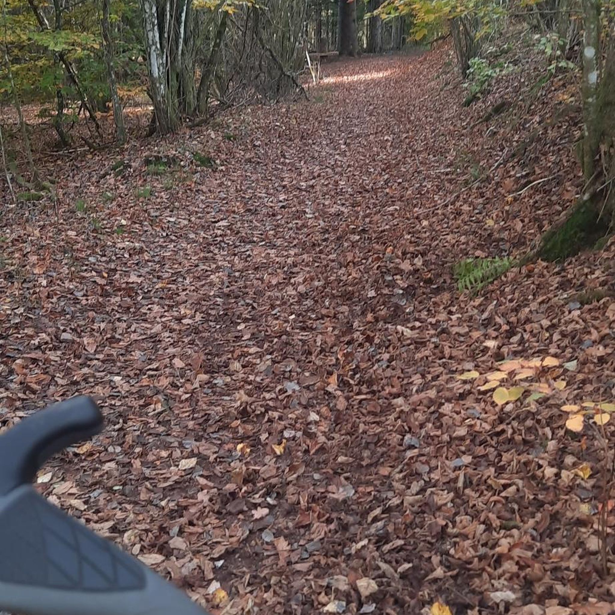
This path, which was used to tow barges from the shore, offers a variety of landscapes, from forests to fields. The path is largely flat and easy to follow, and you can enjoy views of the river and surrounding countryside.
3
0

A somewhat dilapidated but nevertheless charming church, which knows how to inspire through the details. Entrance is free, photography is allowed and don't expect crowds of visitors.
0
0
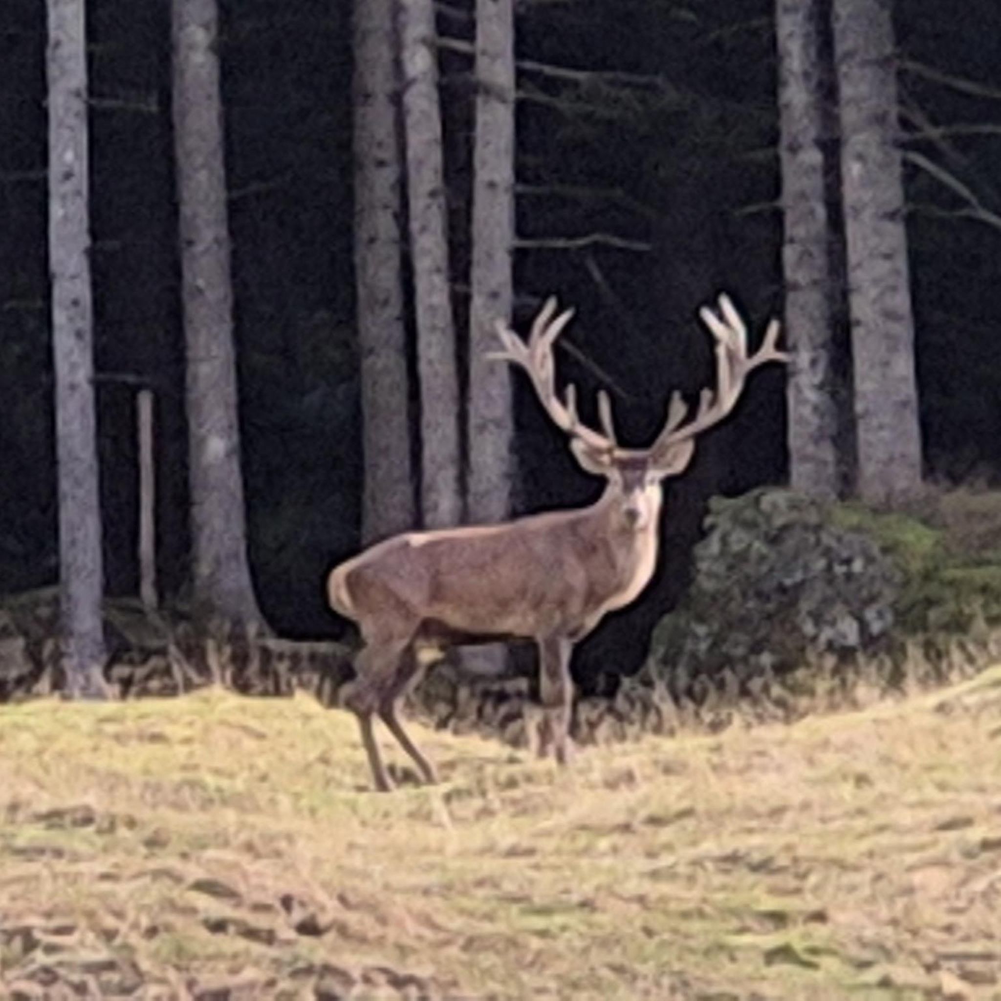
This forest extends over more than 2500 hectares, it has rich flora and fauna. There is a Fau (old twisted oak) not far from the Etoile crossroads.
1
0
Frequently Asked Questions
How many road cycling routes are available around Clesles?
There are over 30 road cycling routes around Clesles, catering to various skill levels. You'll find options ranging from easy loops to more challenging rides with notable elevation gains.
What is the general difficulty level of road cycling routes in Clesles?
The road cycling routes around Clesles are predominantly easy to moderate. The landscape is characterized by the meandering Seine River and canal towpaths, offering generally flat to gently rolling terrain. While most routes have modest elevation gains, some, like the Forêt Domaniale de la Traconne – Drinking Water Fountain loop from Anglure, feature more varied terrain and notable climbs.
Are there beginner-friendly road cycling routes in Clesles?
Yes, Clesles offers several beginner-friendly road cycling routes. Nearly 20 routes are classified as easy, providing a great starting point for new cyclists or those seeking a relaxed ride. An example is the Roadbike loop from Maizières-la-Grande-Paroisse, which is 23.7 miles (38.1 km) long and leads through open countryside.
What kind of terrain can I expect on road cycling routes around Clesles?
You can expect a mix of terrain, primarily defined by river valleys, canal towpaths, and agricultural plains. The routes generally feature flat to gently rolling sections, especially along the Seine River and its canals. Some routes, particularly those venturing into areas like the Forêt Domaniale de la Traconne, will include low hills and more varied topography.
What are some scenic highlights or attractions along the road cycling routes?
Many routes offer scenic views of the Seine River and its canals. You can encounter interesting landmarks such as the Double Guillotine Lock No. 12-13 of Saint-Just-Sauvage and The needle dam. The Upper Seine Canal itself is a prominent feature, and you might also pass by the Lake Between the Seine and the Canal du Moulin.
Are there any circular road cycling routes available?
Yes, many of the road cycling routes around Clesles are designed as loops, offering convenient circular journeys. For instance, the popular Upper Seine Canal – Towpath loop from Méry-sur-Seine is a 29.3 miles (47.1 km) circular trail, and the Saint-Denis Church – Saint-Martin Church loop from Anglure provides a longer circular option.
What do other road cyclists enjoy the most about road cycling in Clesles?
The area is highly rated by the komoot community, with an average score of 4.6 stars from over 10 reviews. Reviewers often praise the consistent surfaces along the canal towpaths, the quiet agricultural roads, and the varied terrain found in areas like the Traconne forest.
Is Clesles suitable for family-friendly road cycling?
Yes, Clesles is well-suited for family-friendly road cycling, especially along the canal towpaths which offer consistent, generally flat surfaces away from heavy traffic. Many of the easy-rated routes are ideal for families looking for a relaxed ride together.
What is the best time of year for road cycling in Clesles?
The best time for road cycling in Clesles is typically from spring through autumn, when the weather is mild and the natural scenery is at its most vibrant. The generally flat terrain makes it enjoyable across these seasons, though checking local weather forecasts is always recommended.
Are there options for longer, more advanced road cycling routes?
Yes, for more advanced cyclists seeking longer distances and more varied terrain, routes like the Forêt Domaniale de la Traconne – Drinking Water Fountain loop from Anglure offer a substantial 58.2 miles (93.7 km) ride with notable elevation gain through the Traconne forest. There is also one route classified as difficult for those looking for a significant challenge.
Can I find road cycling routes that pass through villages or offer places to stop for refreshments?
Many routes around Clesles traverse small villages and agricultural areas, providing opportunities to stop. While specific cafes are not listed for every route, the presence of villages suggests places where you might find local amenities or refreshment stops. The Beautiful view of the Seine – Le Moulin de Sauvage loop from Maizières-la-Grande-Paroisse, for example, passes through areas with potential stopping points.
Most popular attractions around Clesles

Get inspired with the komoot mobile app


Explore more
Browse the best Road cycling routes in other regions.
