The best running trails around Bouffignereux
4.4
(12)
665
runners
74
runs
Jogging routes around Bouffignereux offer access to diverse natural landscapes and historical sites within the Aisne department of France. The region features significant forested areas, such as the Forêt de Vauclair, providing shaded and varied terrain. Joggers can also explore picturesque routes around water features like Lake Ailette and Monks' Pond, which add to the scenic beauty. The area's varied topography includes elevated points and agricultural plains, offering different challenges and vistas.
Best jogging routes around Bouffignereux
- The most popular…
Last updated: July 9, 2026
5.0
(1)
93
runners
24.0km
03:00
540m
540m
Hard run. Very good fitness required. Mostly paved surfaces. Suitable for all skill levels.
12
runners
9.97km
01:05
180m
180m
Moderate run. Good fitness required. Mostly paved surfaces. Suitable for all skill levels.

Sign up for free
10
runners
7.41km
00:48
80m
80m
Moderate run. Good fitness required. Mostly paved surfaces. Suitable for all skill levels.
5
runners
10.3km
01:06
40m
40m
Moderate run. Good fitness required. Mostly paved surfaces. Suitable for all skill levels.
6
runners
9.66km
01:09
130m
130m
Moderate run. Good fitness required. Mostly paved surfaces. Suitable for all skill levels.
Get access to more routes and recommendations from other explorers.
Sign up for free
Already have an account?
Our route recommendations are based on thousands of hikes, rides, and runs completed by other people on komoot.
Start today with a free account
Your next adventure awaits.
Login or Signup
Tips from the Community

The Nécropole nationale de Cormicy is a French military cemetery from the First World War, located in the municipality of Cormicy, near Reims. The cemetery was created during the war to collect the bodies of the soldiers who died during the fighting on the Chemin des Dames. The cemetery was later expanded to include bodies excavated from other temporary cemeteries in the Vesle valley12. The cemetery has an area of 44,213 m² and contains 14,431 graves, of which 6,945 are in two ossuaries. Among the buried soldiers are two British from the First World War and ten from the Second World War. The cemetery is also called “La Maison Bleue”, after the farm that used to be there.
13
0

On the edge of the Canal de l'Aisne à la Marne is this necropolis which pays homage to the dead of the great war. A little further in Berry-au-Bac, you will find another monument dedicated to the deaths of the tanks.
4
0
Frequently Asked Questions
How many running routes are available around Bouffignereux?
There are over 70 running routes around Bouffignereux, offering a wide variety of options for different preferences and fitness levels. These include routes through dense forests, around scenic lakes, and across varied topography.
What kind of terrain can I expect on the jogging trails near Bouffignereux?
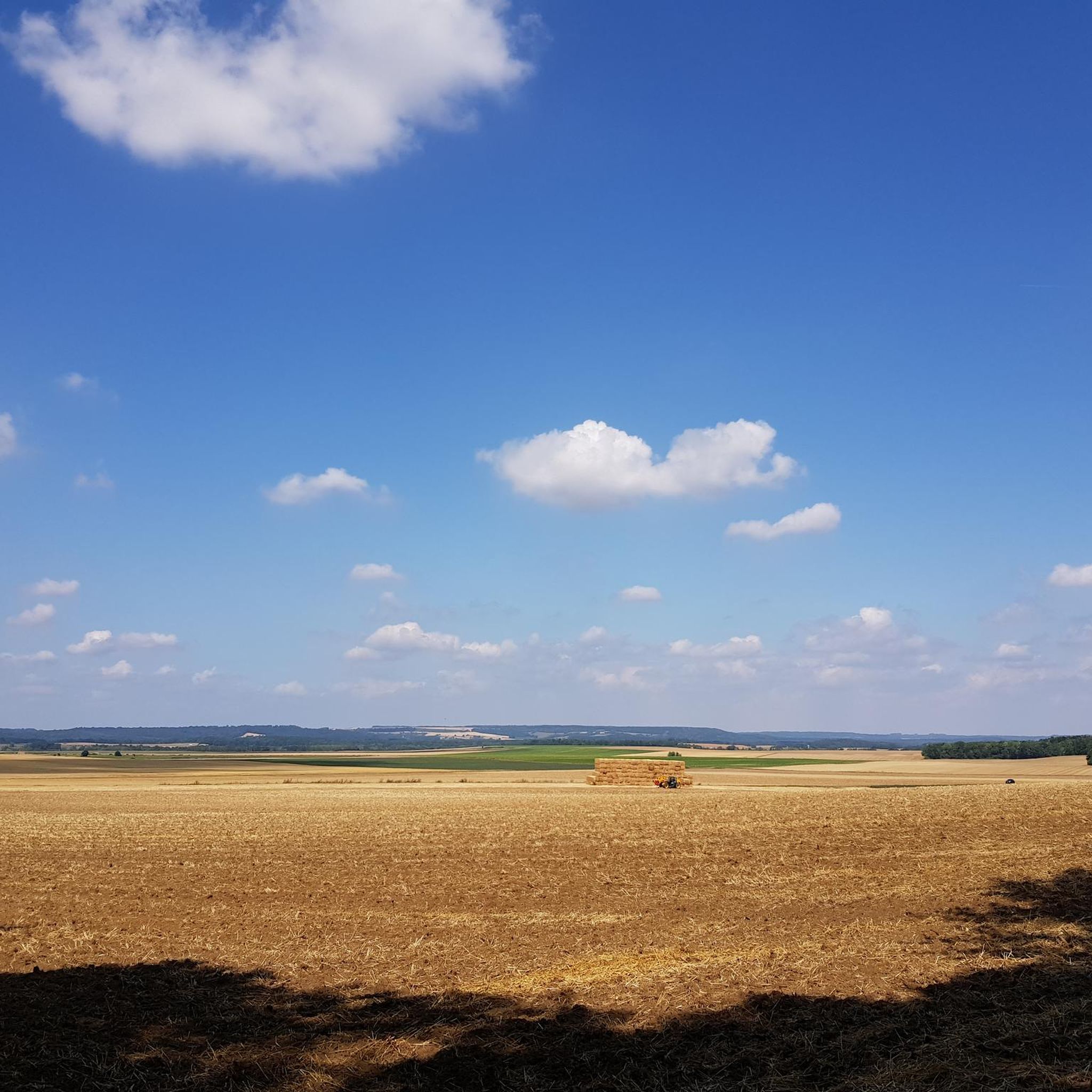
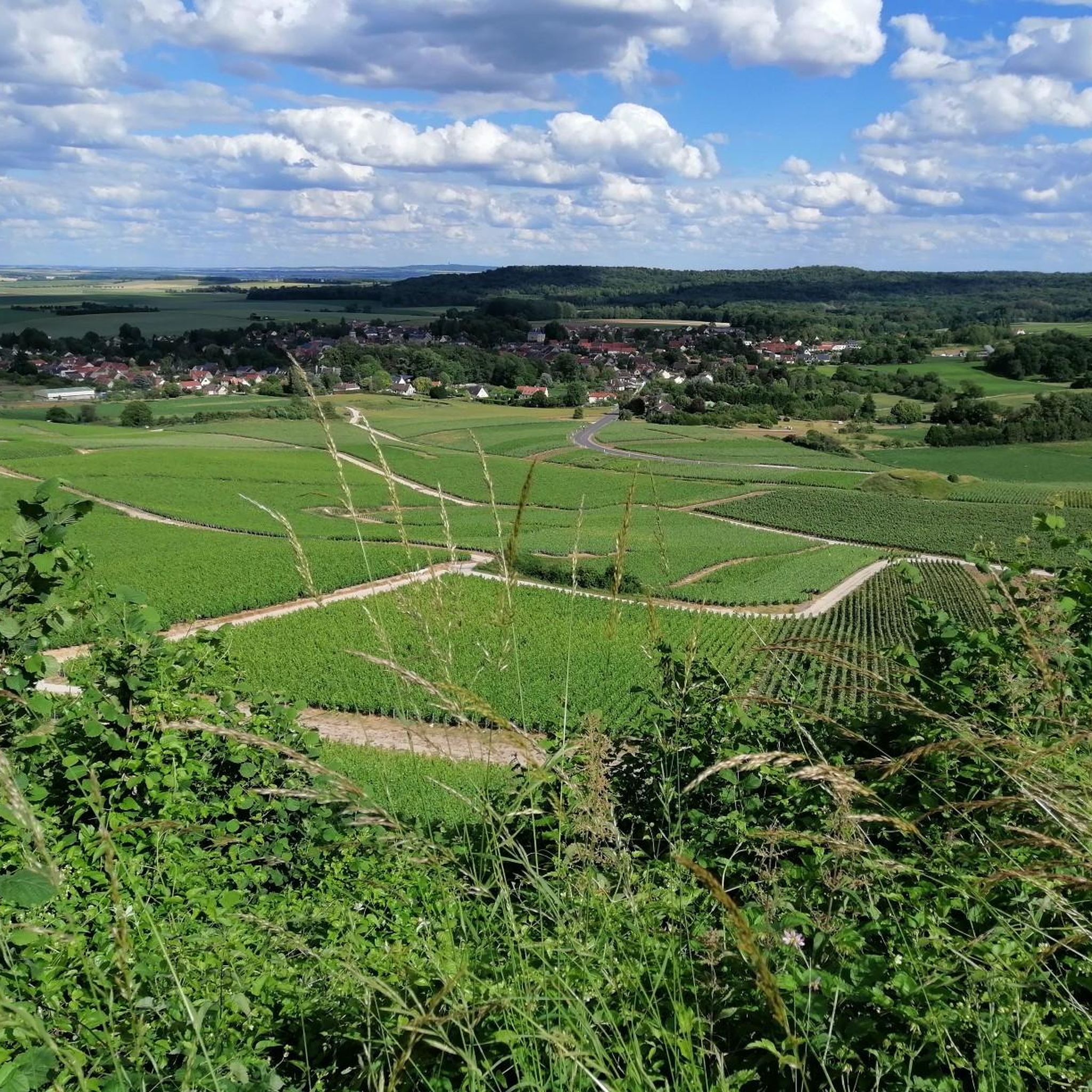
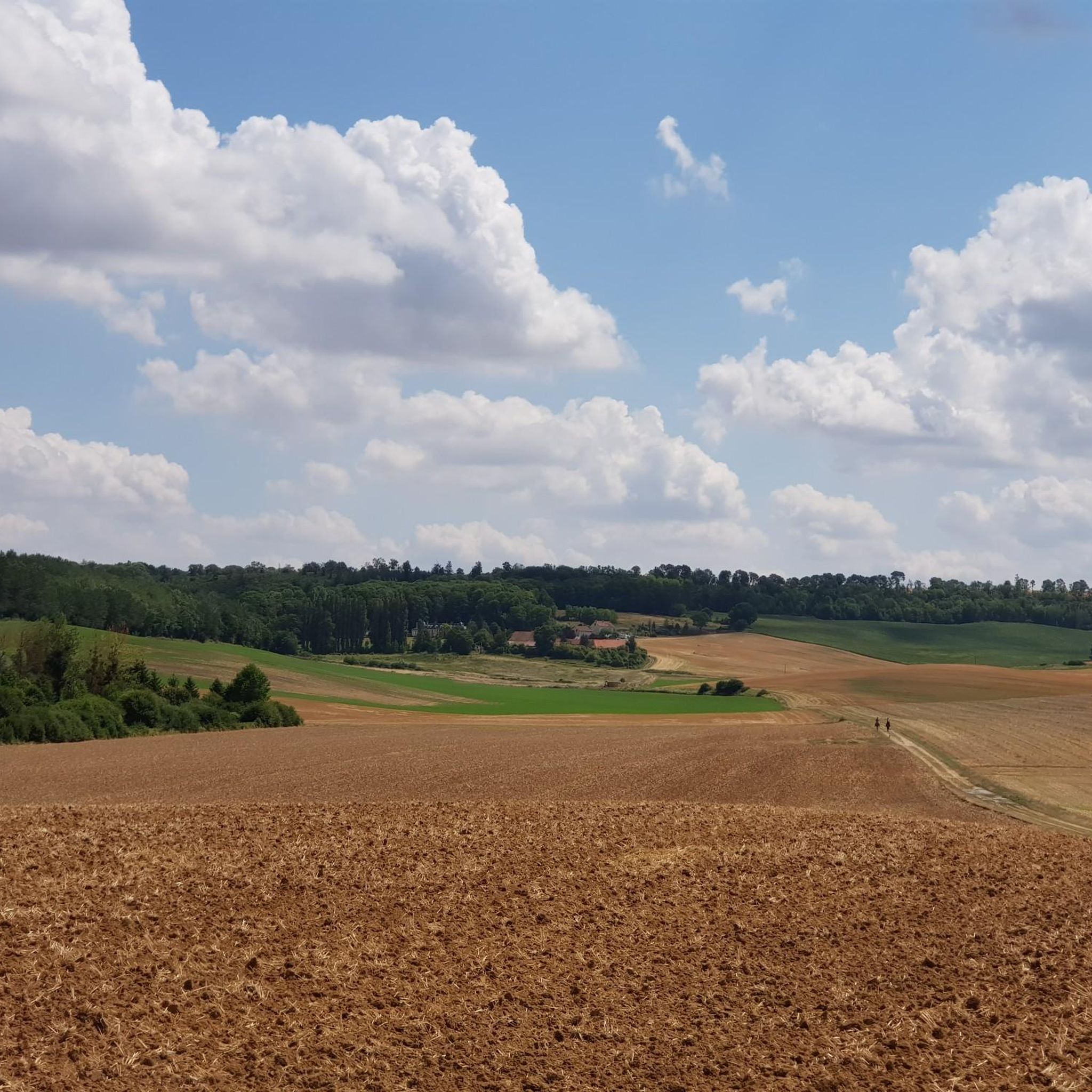
The jogging trails near Bouffignereux feature diverse terrain. You'll find routes through significant forested areas like the Forêt de Vauclair, offering shaded paths. Other trails traverse agricultural plains, vineyards, and areas with varied topography, including some elevated points that provide superb views.
Are there any easy running routes for beginners in the Bouffignereux area?
Yes, Bouffignereux offers 8 easy running routes suitable for beginners or those looking for a more relaxed run. These trails typically have gentler gradients and shorter distances, making them ideal for a leisurely jog.
What natural features can I see while running around Bouffignereux?
Joggers can enjoy picturesque natural features such as the dense woodlands of the Forêt de Vauclair, serene views around Lake Ailette and Monks' Pond, and open vistas across agricultural landscapes and vineyards. The varied topography also provides elevated points with panoramic views.
Are there any historical landmarks or attractions along the running routes?
Many routes in the region incorporate historical sites. You can run past the romantic Vauclair Abbey Ruins, which are nestled within the forest. The area is also close to the historic Chemin des Dames ridge, with trails winding through sites marked by World War I, such as the poignant Ailles village monument. The Cormicy National Necropolis loop from Cormicy also passes by a significant historical site.
What is the average length of running routes in Bouffignereux?
The running routes around Bouffignereux vary significantly in length. While there are shorter options, many routes are moderate to long. For example, the popular Gravel Path Under the Trees loop from Cormicy is 14.9 miles (24.0 km), while the Running loop from Roucy is 4.6 miles (7.4 km).
Are there circular running routes available in the area?
Yes, many of the running routes around Bouffignereux are circular, allowing you to start and finish at the same point. Examples include the challenging Gravel Path Under the Trees loop from Cormicy and the moderate Running loop from Bouvancourt.
What do other runners say about the trails in Bouffignereux?
The running routes in Bouffignereux are highly rated by the komoot community, with an average score of 5.0 stars. Over 600 runners have explored the varied terrain, often praising the peaceful environment of the dense forests and the scenic beauty of the lakes and varied topography.
Are there any running routes that offer panoramic viewpoints?
Yes, the diverse topography around Bouffignereux includes elevated points that offer superb panoramic views across the landscape. Some trails wind through agricultural plains and vineyards, providing open vistas, while others climb to higher ground for broader perspectives of the region.
Is there parking available near the running trails?
While specific parking information for each trail is best checked on the individual route pages, many trailheads in the Bouffignereux region, especially those near villages or popular natural sites, typically offer designated parking areas for outdoor enthusiasts.
Can I find running routes that are suitable for families?
While specific 'family-friendly' designations are not always explicit, the region's 8 easy running routes are generally suitable for families looking for a less strenuous outing. These often feature gentler terrain and shorter distances, making them more accessible for all ages.
What is the difficulty level of the running routes around Bouffignereux?
The running routes around Bouffignereux cater to all levels. There are 8 easy routes, 49 moderate routes, and 17 difficult routes. This variety ensures that both casual joggers and experienced runners can find suitable challenges, from gentle paths to trails with significant elevation gain.
Most popular routes around Bouffignereux
Most popular attractions around Bouffignereux

Get inspired with the komoot mobile app


Explore more
Browse the best Running Trails & Routes in other regions.
