The best walks and hikes around Sainte-Geneviève
4.5
(398)
1,381
hikers
196
hikes
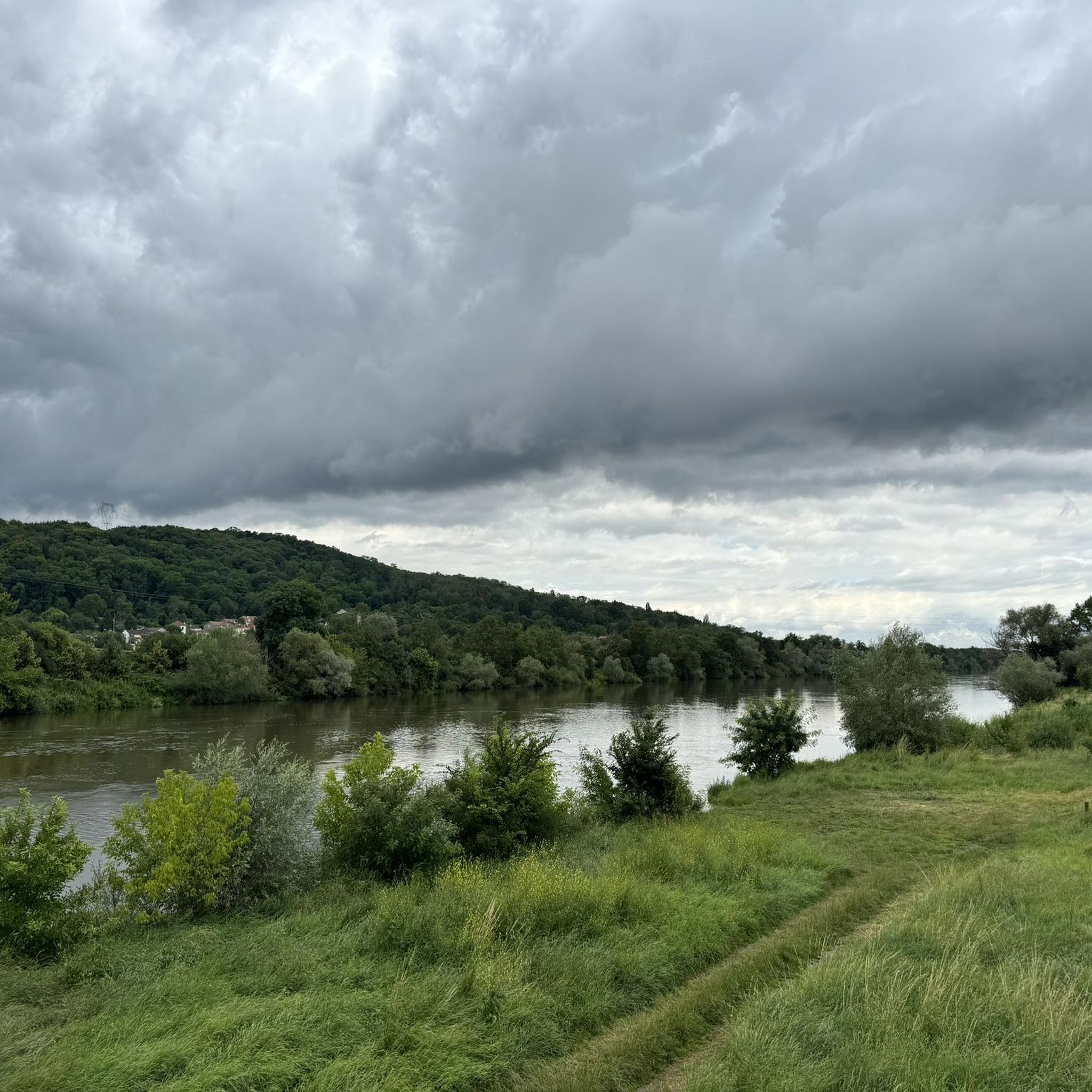
Hiking around Sainte-Geneviève offers a variety of landscapes, characterized by the Meurthe-et-Moselle region's rolling hills and river valleys. The area features a mix of woodlands, open fields, and paths along waterways like the Moselle River. Elevation changes are present, providing moderate climbs and descents throughout the trails.
Best hiking trails around Sainte-Geneviève
- The most popular hiking route is Hiking loop from Sainte-Geneviève, a 9.4 miles (15.1 km) trail that takes 4 hours 32 minutes to complete. This moderate route…
Last updated: May 25, 2026
4.8
(9)
51
hikers
15.1km
04:32
470m
480m
Moderate hike. Good fitness required. Easily-accessible paths. Suitable for all skill levels.
4.8
(8)
38
hikers
12.5km
03:53
470m
470m
Moderate hike. Good fitness required. Easily-accessible paths. Suitable for all skill levels.

Sign up for free
5.0
(1)
11
hikers
13.4km
03:40
220m
220m
Moderate hike. Good fitness required. Easily-accessible paths. Suitable for all skill levels.
5.0
(1)
14
hikers
12.3km
03:25
220m
220m
Moderate hike. Good fitness required. Easily-accessible paths. Suitable for all skill levels.
9
hikers
9.55km
02:43
220m
220m
Moderate hike. Good fitness required. Easily-accessible paths. Suitable for all skill levels.
Get access to more routes and recommendations from other explorers.
Sign up for free
Already have an account?
Our route recommendations are based on thousands of hikes, rides, and runs completed by other people on komoot.
Start today with a free account
Your next adventure awaits.
Login or Signup




Tips from the Community

A nice place to stay if you want to visit Nancy and Metz
3
0

Gothic with a story. Behind the austere façade of this church lies a rich history. Built from the 13th century onwards by the Antonists, an order dedicated to caring for the sick, it was originally the church of a hospital. The architecture is a rare mix of Gothic Rayonnant and Flamboyant, with a unique façade designed by Jacquemin de Lenoncourt, who later also designed Toul Cathedral. In 1574, the church was handed over to the Jesuits, who transformed it into the university church of the newly founded Université de Pont-à-Mousson. In 1840, the church was one of the first buildings in France to be classified as a Monument Historique. Today, it remains a silent witness to religious, intellectual and architectural history – and a haven of peace in the heart of the city.
7
0
The name of the city says it all: Pont-à-Mousson was created around this bridge over the Moselle. Since the Middle Ages, it has connected the old town with the Mousson hill. The current bridge, rebuilt several times after floods and wars, offers a beautiful view of the abbey and the river. 📍 Tip: Take a moment to pause in the middle of the bridge – on the left the baroque abbey, on the right the lively Place Duroc.
7
0

This station is located on the railway line between Metz and Nancy
2
0
Nature reserve near Jezainville https://www.gralon.net/tourisme/a-visiter/info-pelouse-calcaire-des-pontances--jezainville-18829.htm
1
0
Beautiful church in the middle of the village https://theodia.org/fr?place=2642
1
0

Visible from afar on the banks of the Moselle.
5
0
Frequently Asked Questions
How many hiking trails are there around Sainte-Geneviève?
There are over 190 hiking routes available around Sainte-Geneviève, offering a wide variety of experiences. These include 73 easy trails, 108 moderate routes, and 10 more challenging options, ensuring there's something for every skill level.
What kind of landscapes can I expect to see while hiking near Sainte-Geneviève?
Hiking around Sainte-Geneviève, located in the Meurthe-et-Moselle region, offers diverse landscapes. You'll encounter rolling hills, river valleys, woodlands, open fields, and paths along waterways like the Moselle River. The area features a mix of natural green spaces and semi-urban elements, particularly along the Orge River.
Are there any easy or family-friendly hiking routes in Sainte-Geneviève?
Yes, Sainte-Geneviève offers many easy routes suitable for families or those looking for a relaxed stroll. With 73 easy trails available, you can find paths through green spaces like the Bois des Trous or along the Orge River, which are generally accessible and pleasant for all ages.
Are there circular walks available around Sainte-Geneviève?
Many of the hiking routes around Sainte-Geneviève are designed as loops, allowing you to start and end at the same point. For example, the Hiking loop from Sainte-Geneviève is a popular circular route, as are others like the Hiking loop from Autreville-sur-Moselle.
What are the typical distances and durations for hikes in this area?
Hikes around Sainte-Geneviève vary in length and duration. You can find shorter walks, but many popular routes range from 7 to 15 kilometers (4 to 9 miles), typically taking between 3 to 5 hours to complete. For instance, the St. Martin's Church – Gélot Bridge loop from Atton is about 11.8 km (7.3 miles) and takes around 3 hours 17 minutes.
What do other hikers enjoy most about hiking in Sainte-Geneviève?
The komoot community highly rates hiking in Sainte-Geneviève, with an average score of 4.5 stars from over 400 reviews. Hikers often praise the varied terrain, which includes river paths, forest sections, and open agricultural land, as well as the well-maintained network of trails suitable for different ability levels.
Can I reach hiking trails around Sainte-Geneviève using public transport?
Yes, some hiking routes in the region, particularly those following the Orge River, are designed to be done 'station to station,' making them accessible by public transport. This allows for convenient access to various starting points without needing a car.
Are there any historical sites or landmarks to see along the hiking trails?
Absolutely! The region around Sainte-Geneviève is rich in history. You can explore sites like the Premonstratensian Abbey, St. Martin's Church, or the Pont-à-Mousson Town Centre. The Dieulouard Castle and Church – Saint-Aubin Church loop from Dieulouard is a great example of a trail leading through historical sites.
What are some notable natural attractions or points of interest near Sainte-Geneviève?
Beyond the trails themselves, you can visit the Confluence of the Moselle and Meurthe rivers, a significant natural landmark. The region's green spaces, like the Bois des Trous, and the scenic Orge River also offer beautiful natural settings to explore.
Is Sainte-Geneviève a good destination for winter hiking?
While specific winter conditions can vary, the trails around Sainte-Geneviève, particularly those through woodlands and along river paths, can be enjoyed in winter. Always check local weather conditions and trail reports before heading out during colder months.
Are there options for longer, more challenging hikes?
Yes, for those seeking a greater challenge, there are 10 difficult routes available. These trails typically feature more significant elevation changes and longer distances, providing a more strenuous workout while still showcasing the region's natural beauty.
What kind of elevation changes can I expect on the trails?
The trails around Sainte-Geneviève feature moderate climbs and descents due to the region's rolling hills. For example, the Port de Millery loop from Landremont involves an elevation gain of nearly 280 meters (918 feet), offering a good workout with rewarding views.
Most popular routes around Sainte-Geneviève
Most popular attractions around Sainte-Geneviève

Get inspired with the komoot mobile app


Explore more
Browse the best Hikes in other regions.
