The best road cycling routes around Rouves
4.5
(22)
352
riders
39
rides
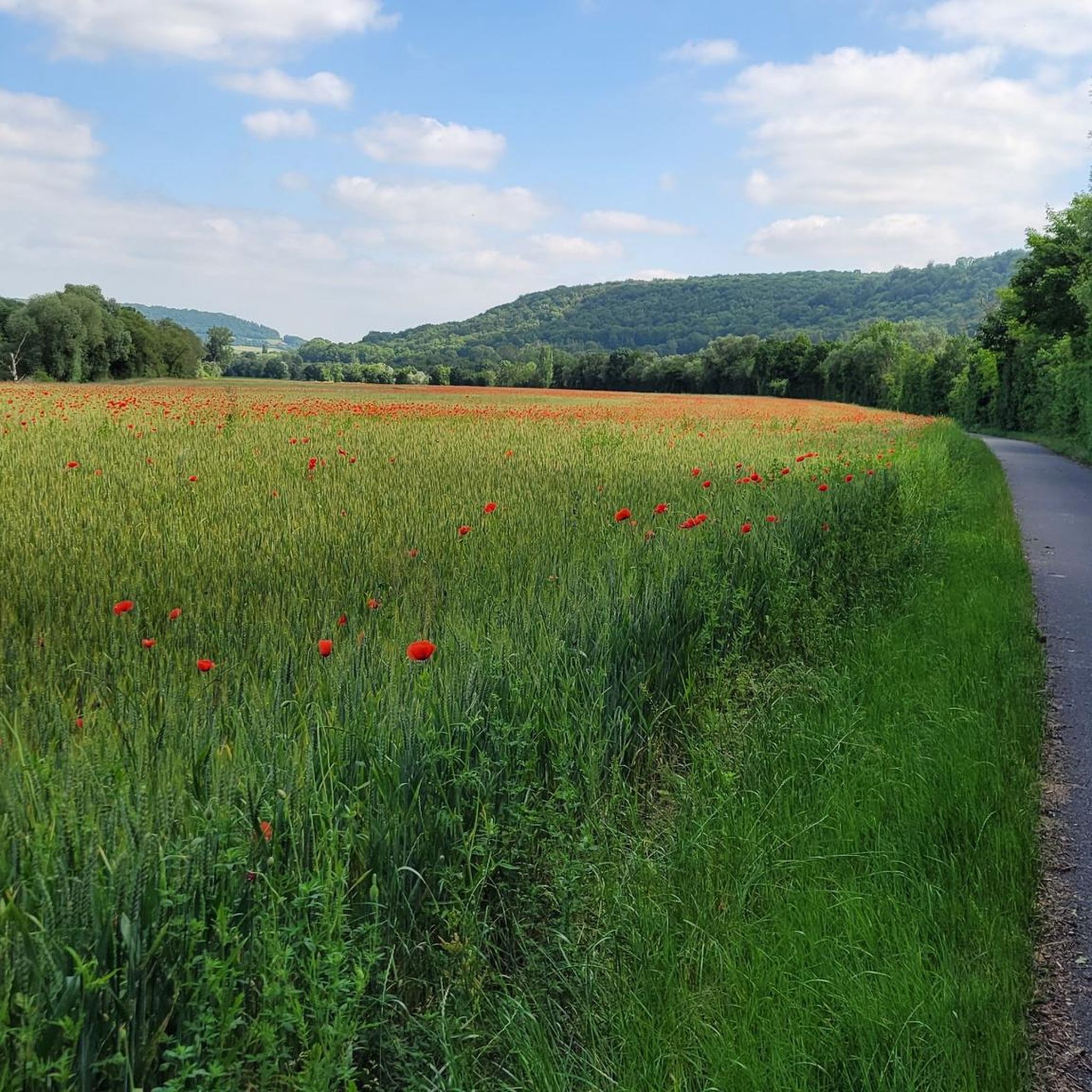
Road cycling routes around Rouves traverse a landscape characterized by a mix of prairies and arable land in the Meurthe-et-Moselle department of northeastern France. The terrain offers varied cycling experiences with an elevation ranging from 180 to 216 meters, providing both relatively flat sections and gentle climbs. The region's natural beauty is enhanced by the presence of the Seille river and proximity to the Moselle river, offering scenic routes through open countryside. This area provides diverse opportunities for road cyclists…
Last updated: October 11, 2026
5.0
(1)
20
riders
38.9km
01:37
290m
290m
Easy road ride. Great for any fitness level. Mostly well-paved surfaces and easy to ride.
5.0
(5)
16
riders
64.5km
02:53
670m
670m
Moderate road ride. Good fitness required. Mostly well-paved surfaces and easy to ride.

5.0
(1)
18
riders
30.8km
01:21
260m
260m
Easy road ride. Great for any fitness level. Mostly well-paved surfaces and easy to ride.
5.0
(1)
15
riders
Moderate road ride. Good fitness required. Mostly well-paved surfaces and easy to ride.
5
riders
36.3km
01:40
370m
360m
Moderate road ride. Good fitness required. Mostly well-paved surfaces and easy to ride.
Get access to more routes and recommendations from other explorers.
Already have an account?
Our route recommendations are based on thousands of hikes, rides, and runs completed by other people on komoot.
Start today with a free account
Your next adventure awaits.



Tips from the Community

Convenient for connecting the Corny cycle route to Noveant, suitable for everyone, young and old, in complete safety.
0
0

The abbey is well worth a visit. I would recommend spending the night in this unique setting.
3
0
An overnight stay at the abbey is worthwhile, as you sleep in a truly unique setting. We chose the location because it's ideally located for cycling tours along the Moselle to Metz and Nancy.
3
0

Be careful in case of rain, very slippery surface
0
0

Be careful on rainy/humid days, the surface can be slippery at times.
0
0

In the heart of Nomeny lie the remains of a medieval castle that was once a strategic stronghold of the bishops of Metz. Built in the 12th century and fortified in the 14th century, the castle had a rich history until it was largely dismantled in the 17th century. Today, a few towers, walls and moats are still visible — silent witnesses to a glorious past.
5
0
This imposing 18th-century abbey is one of the finest examples of baroque monastic architecture in Lorraine. Once the headquarters of the Order of the Premonstratensians, the building now houses a cultural centre and a hotel. Situated on the banks of the Moselle, between Metz and Nancy, the abbey offers a unique mix of heritage, art and tranquillity. The gardens, monumental staircase and cloisters are open to the public and are an impressive stop on any bike tour.
8
0
🏰 Pont-à-Mousson – City of bridges, books and baroque Located on the Moselle, between Metz and Nancy, Pont-à-Mousson is a city with deep roots. It was founded around a medieval bridge and became an intellectual centre thanks to the creation of the University of Lorraine in the 16th century. The city has been hit by wars several times, but has always risen again. Today, you can admire the baroque abbey of the Prémontrés, the lively Place Duroc with its Renaissance houses, and Gothic churches such as Saint-Martin and Saint-Laurent. Pont-à-Mousson is also known for its industrial heritage – it is the world centre for cast iron pipes – and for its cultural festivals such as the Mousson d’Été.
8
1
Frequently Asked Questions
How many road cycling routes are available around Rouves?
There are over 50 road cycling routes available around Rouves, offering a diverse range of experiences for cyclists. These routes traverse a landscape of prairies and arable land, with varied elevations.
What types of terrain can I expect on road cycling routes near Rouves?
The terrain around Rouves is characterized by a mix of prairies and arable land. You can expect varied cycling experiences with elevations ranging from 180 to 216 meters, providing both relatively flat sections and gentle climbs. Routes often follow the Seille river and are in proximity to the Moselle river, offering scenic rides through open countryside.
Are there easy road cycling routes suitable for beginners in Rouves?
Yes, Rouves offers several easy road cycling routes. For instance, the Chateau – Burgruine loop from Éply is an easy 28.6 km path that allows for a more relaxed ride through the scenic landscape.
What are some longer or more challenging road cycling routes around Rouves?
For those seeking longer or more challenging rides, Rouves has options. The Voie Verte du Grand Couronné – Moselle Riverside Path loop from Nomeny is a moderate 95.6 km route that offers a substantial distance and varied terrain. Overall, there are 10 difficult routes and 34 moderate routes to explore.
What landmarks or attractions can I see along road cycling routes near Rouves?
Many routes around Rouves offer opportunities to explore historical and cultural landmarks. Near Pont-à-Mousson, you can visit the impressive 18th-century Prémontrés Abbey, known for its baroque architecture and gardens. The town of Pont-à-Mousson Town Centre itself features the lively Place Duroc with Renaissance houses and Gothic churches like St. Martin's Church.
What do other road cyclists say about the routes in Rouves?
The road cycling routes in Rouves are highly regarded by the komoot community, with an average rating of 4.7 stars from over 25 reviews. Cyclists often praise the varied terrain, which includes open prairies and routes along the Moselle river, offering a mix of gentle climbs and flatter sections suitable for different ability levels.
Is Rouves a good destination for family-friendly road cycling?
While specific family-friendly routes are not highlighted, the presence of easy routes and varied terrain with gentle climbs suggests that families can find suitable options. The scenic routes through open countryside and along rivers provide a pleasant environment for cycling together.
What is the best season for road cycling in Rouves?
The Grand Est region of France, where Rouves is located, generally offers good cycling conditions from spring through autumn. The mild weather during these seasons makes it ideal to enjoy the open prairies and riverside paths without extreme heat or cold.
Are there circular road cycling routes available in Rouves?
Yes, many of the road cycling routes around Rouves are designed as loops, allowing you to start and end your ride in the same location. Examples include the Chateau – Ornate Water Fountain loop from Nomeny and the Burgruine – chateau loop from Nomeny.
Can I find cafes or places to stop for refreshments along the road cycling routes?
The region around Rouves, particularly in nearby towns like Pont-à-Mousson, offers amenities such as cafes and pubs. While specific cafes directly on every route are not detailed, these towns provide opportunities for refreshments and accommodation, especially when planning longer rides.
How can I get to the starting points of road cycling routes in Rouves?
Many routes start from towns like Nomeny or Éply, which are accessible by car. For public transport options in the broader Meurthe-et-Moselle area, it's advisable to check local transport schedules, as specific cycling-friendly public transport links directly to Rouves may vary.
What are the elevation gains like on road cycling routes around Rouves?
The elevation around Rouves ranges from 180 to 216 meters, meaning routes feature a mix of relatively flat sections and gentle climbs. For example, the Chateau – Ornate Water Fountain loop from Nomeny has an elevation gain of approximately 660 meters over its 64 km distance, providing a moderate challenge.
Most popular attractions around Rouves

Get inspired with the komoot mobile app


Explore more
Browse the best Road cycling routes in other regions.
