The best walks and hikes around Loromontzey
4.4
(58)
374
hikers
64
hikes
Hiking around Loromontzey offers access to a landscape characterized by river valleys, agricultural fields, and gentle hills. The region features a network of trails that often follow waterways like the Moselle, providing relatively flat sections alongside some moderate ascents. Woodlands are interspersed with open areas, offering varied scenery for outdoor activities.
Best hiking trails around Loromontzey
- The most popular hiking route is Covered Picnic Shelter – Spielplatz loop from Mangonville, a 7.0 miles (11.1 km) trail that takes about…
Last updated: July 4, 2026
5.0
(5)
21
hikers
11.1km
02:58
120m
120m
Moderate hike. Good fitness required. Easily-accessible paths. Suitable for all skill levels.
4.7
(3)
16
hikers
13.9km
03:44
180m
180m
Moderate hike. Good fitness required. Easily-accessible paths. Suitable for all skill levels.

Sign up for free
4.8
(4)
18
hikers
14.3km
03:40
50m
50m
Moderate hike. Good fitness required. Easily-accessible paths. Suitable for all skill levels.
13
hikers
Easy hike. Great for any fitness level. Easily-accessible paths. Suitable for all skill levels.
4.0
(1)
10
hikers
5.11km
01:20
30m
30m
Easy hike. Great for any fitness level. Easily-accessible paths. Suitable for all skill levels.
Get access to more routes and recommendations from other explorers.
Sign up for free
Already have an account?
Our route recommendations are based on thousands of hikes, rides, and runs completed by other people on komoot.
Start today with a free account
Your next adventure awaits.
Login or Signup
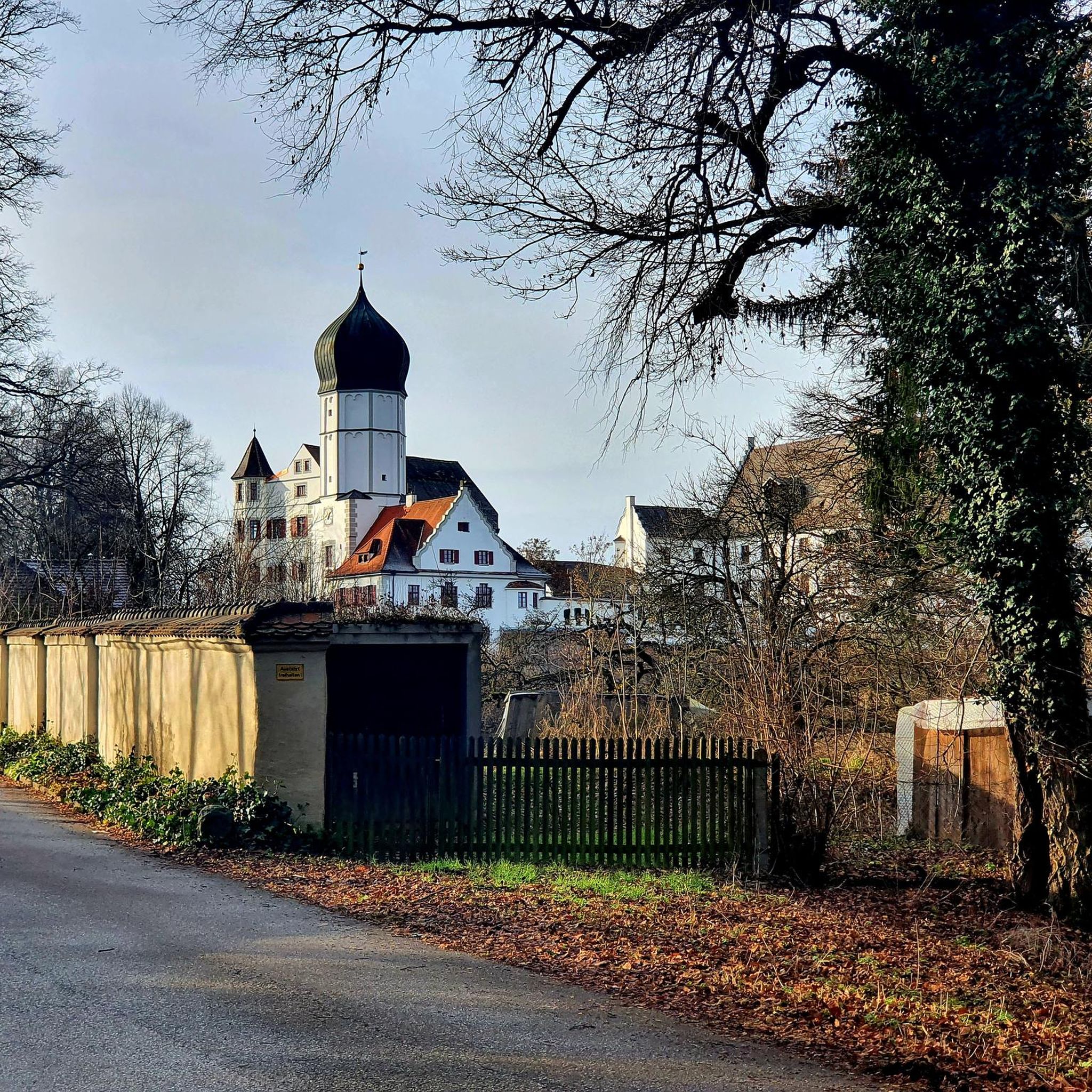


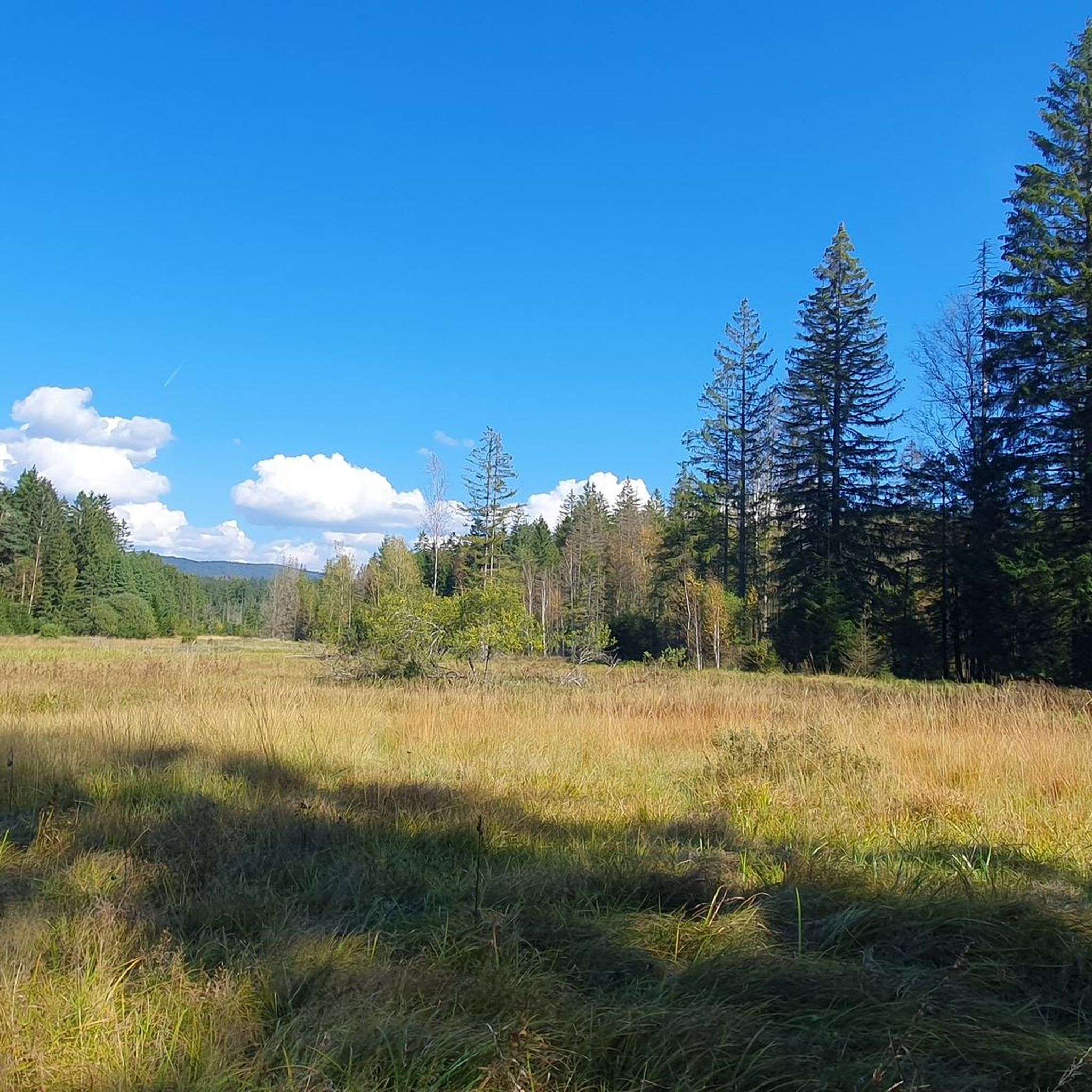
Tips from the Community

An easy walk. Nice for a quick stop. Note the decline of the quays along the Canal des Vosges.
0
0

The Monument de Lorraine or monument to the victory of Lorraine is a monument located overlooking the town of Charmes in the Vosges department, which was erected in the aftermath of the First World War to celebrate the victory of France on its Lorraine lands during the battle of the Charmes gap. https://fr.m.wikipedia.org/wiki/Monument_de_Lorraine
2
0
The bridge crosses the Moselle and the Canal des Vosges
2
0
Beautiful nature reserve directly on the Moselle https://reserves-naturelles.org/reserves/moselle-sauvage/
2
0
Schleuse am Canal des Vosges bei Bainville-aux-Miroirs https://www.reperesdecrues.developpement-durable.gouv.fr/site/barrage-de-bainville
2
0
Cozy restaurant with a beautiful garden directly on the hiking trail
1
0
Frequently Asked Questions
How many hiking trails are available around Loromontzey?
There are over 60 hiking trails in the Loromontzey region. These routes range from easy strolls to more moderate hikes, offering diverse options for exploring the local landscape.
Are there any easy hikes suitable for beginners or families?
Yes, Loromontzey offers several easy hikes. For a shorter, family-friendly option, consider the Round trip from the campsite loop from Bayon, which is about 3 km long and takes less than an hour. Another easy route is the Round trip from the campsite loop from Roville-devant-Bayon, covering 6.7 km.
What kind of terrain can I expect on hikes in Loromontzey?
The hiking trails around Loromontzey are characterized by river valleys, agricultural fields, and gentle hills. Many routes follow waterways like the Moselle, offering relatively flat sections, while others include moderate ascents through woodlands and open areas.
Are there any circular hiking routes in the area?
Yes, many of the trails around Loromontzey are circular. Examples include the popular Covered Picnic Shelter – Spielplatz loop from Mangonville and the Le monument de Lorraine – Charmes Bridge loop from Charmes (Vosges), both of which offer varied scenery and bring you back to your starting point.
What are some interesting landmarks or attractions to see while hiking?
While hiking, you can explore several points of interest. The Le monument de Lorraine is a notable historical site. You might also encounter the Gripport Lock or sections of the Industrial Heritage Along the Canal des Vosges. Nature lovers can visit the Ponds of the Saussaie de Bayon.
What is the typical duration for hikes in Loromontzey?
Hike durations vary depending on the route and your pace. Easy trails like the Round trip from the campsite loop from Bayon can be completed in under an hour. Moderate routes, such as the The Moselle – Charmes Bridge loop from Charmes (Vosges), typically take around 3 to 4 hours.
Are there any challenging hikes for experienced hikers?
The Loromontzey region primarily offers easy to moderate hikes. There are no routes classified as 'difficult' in this guide, making it more suitable for those seeking enjoyable walks rather than strenuous climbs. The longer moderate trails, such as the 14.1 km Le monument de Lorraine – Charmes Bridge loop from Charmes (Vosges), offer a good workout.
What do other hikers say about the trails in Loromontzey?
The trails in Loromontzey are highly rated by the komoot community, with an average score of 4.3 stars from nearly 50 reviews. Hikers often praise the varied scenery, the peaceful river sections, and the well-maintained paths that make for an enjoyable outdoor experience.
Is Loromontzey a good destination for winter hiking?
While specific winter conditions can vary, the gentle terrain and river valley paths of Loromontzey can be suitable for winter walks, provided conditions are safe and trails are clear of heavy snow or ice. Always check local weather forecasts and trail conditions before heading out in winter.
What is the best time of year to go hiking in Loromontzey?
The best time to hike in Loromontzey is generally during spring, summer, and autumn. These seasons offer pleasant temperatures and vibrant natural scenery, from blooming wildflowers to colorful fall foliage. Spring and autumn also tend to be less crowded than peak summer months.
Are dogs allowed on the hiking trails in Loromontzey?
Generally, dogs are welcome on hiking trails in rural areas like Loromontzey. However, it's always advisable to keep your dog on a leash, especially when passing through agricultural fields or near livestock, and to check for any specific local regulations or signage on individual routes.
Is there parking available at the trailheads?
While specific parking information for every trailhead isn't always available, routes often start from villages or designated recreational areas where public parking is typically provided. For routes originating from places like Mangonville or Charmes, you can usually find parking options within the vicinity of the starting point.
Most popular attractions around Loromontzey

Get inspired with the komoot mobile app


Explore more
Browse the best Hikes in other regions.
