The best mountain hikes around Evionnaz
4.7
(27)
263
hikers
20
hikes
Mountaineering routes around Evionnaz are set within the dramatic landscapes of the Valais region in Switzerland, characterized by significant mountain ranges and alpine terrain. The area is nestled within the Trient Valley Nature Park, offering a pristine environment for outdoor enthusiasts. Key features include the iconic Dents du Midi mountain range, with peaks like Haute Cime, and the picturesque Lac de Salanfe, a prominent reservoir. The region's diverse mountainous environment is part of the Chablais Alps, providing varied challenges for…
Last updated: June 27, 2026
4.8
(9)
40
hikers
Hard mountaineering route. Very good fitness required. Mostly accessible paths. Sure-footedness required.
5.0
(3)
14
hikers
Hard mountaineering route. Very good fitness required. Sure-footedness, sturdy shoes and alpine experience required.

Sign up for free
5.0
(1)
10
hikers
11.1km
05:03
950m
950m
Hard mountaineering route. Very good fitness required. Mostly accessible paths. Sure-footedness required.
4.0
(5)
11
hikers
6.29km
02:15
320m
320m
Hard mountaineering route. Good fitness required. Sure-footedness, sturdy shoes and alpine experience required.
11
hikers
10.6km
06:29
1,060m
1,060m
Hard mountaineering route. Very good fitness required. Sure-footedness, sturdy shoes and alpine experience required.
Get access to more routes and recommendations from other explorers.
Sign up for free
Already have an account?
Our route recommendations are based on thousands of hikes, rides, and runs completed by other people on komoot.
Start today with a free account
Your next adventure awaits.
Login or Signup
Popular around Evionnaz

Alpine Passes Trail – hiking 700km across Switzerland

Alpine Passes Trail in Switzerland – 34 stages of pure mountain fun
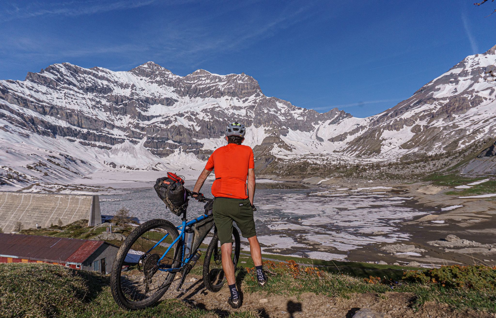
Lac de Salanfe — a bikepacking overnighter from Chamonix
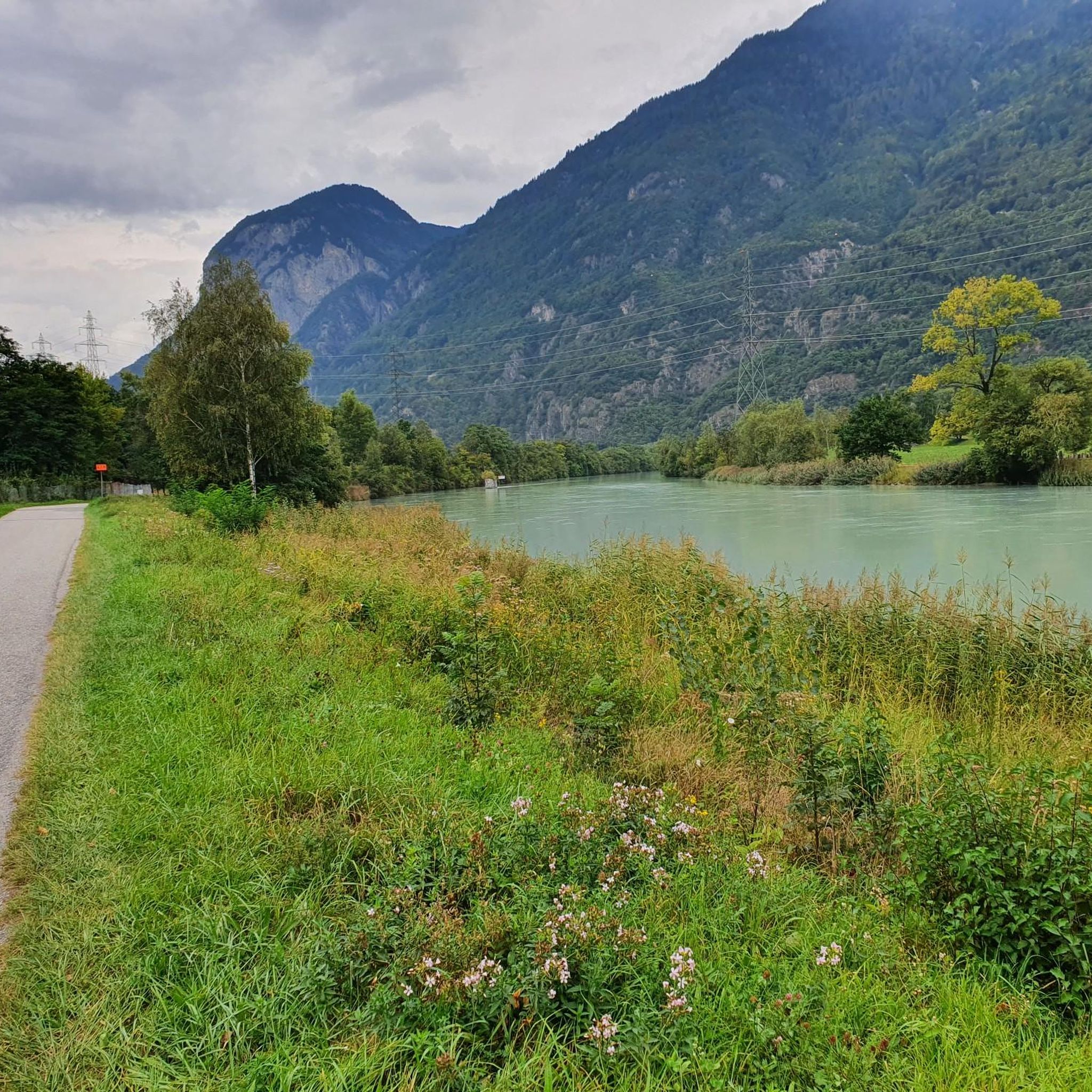
Road Cycling Routes around Evionnaz
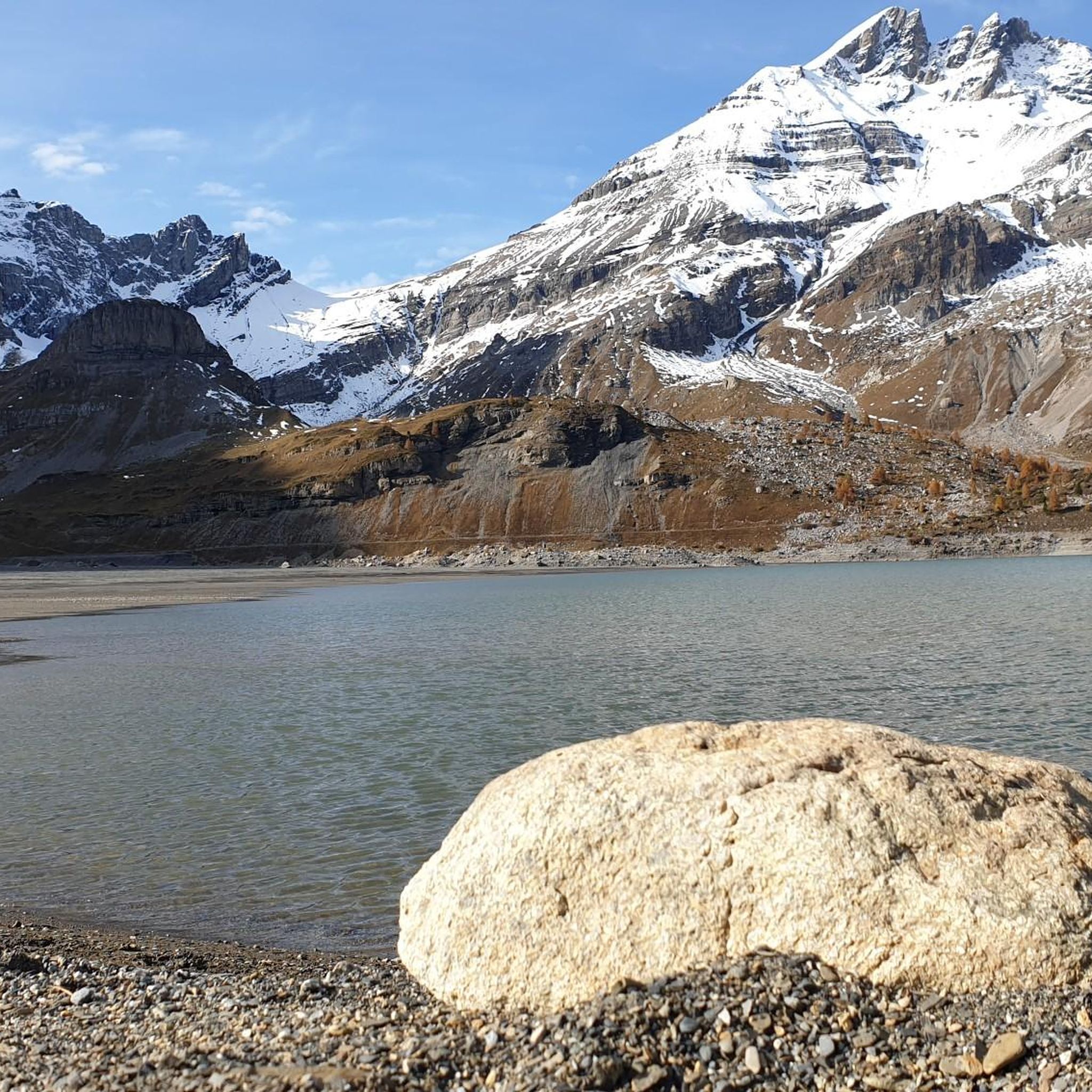
Hiking around Evionnaz
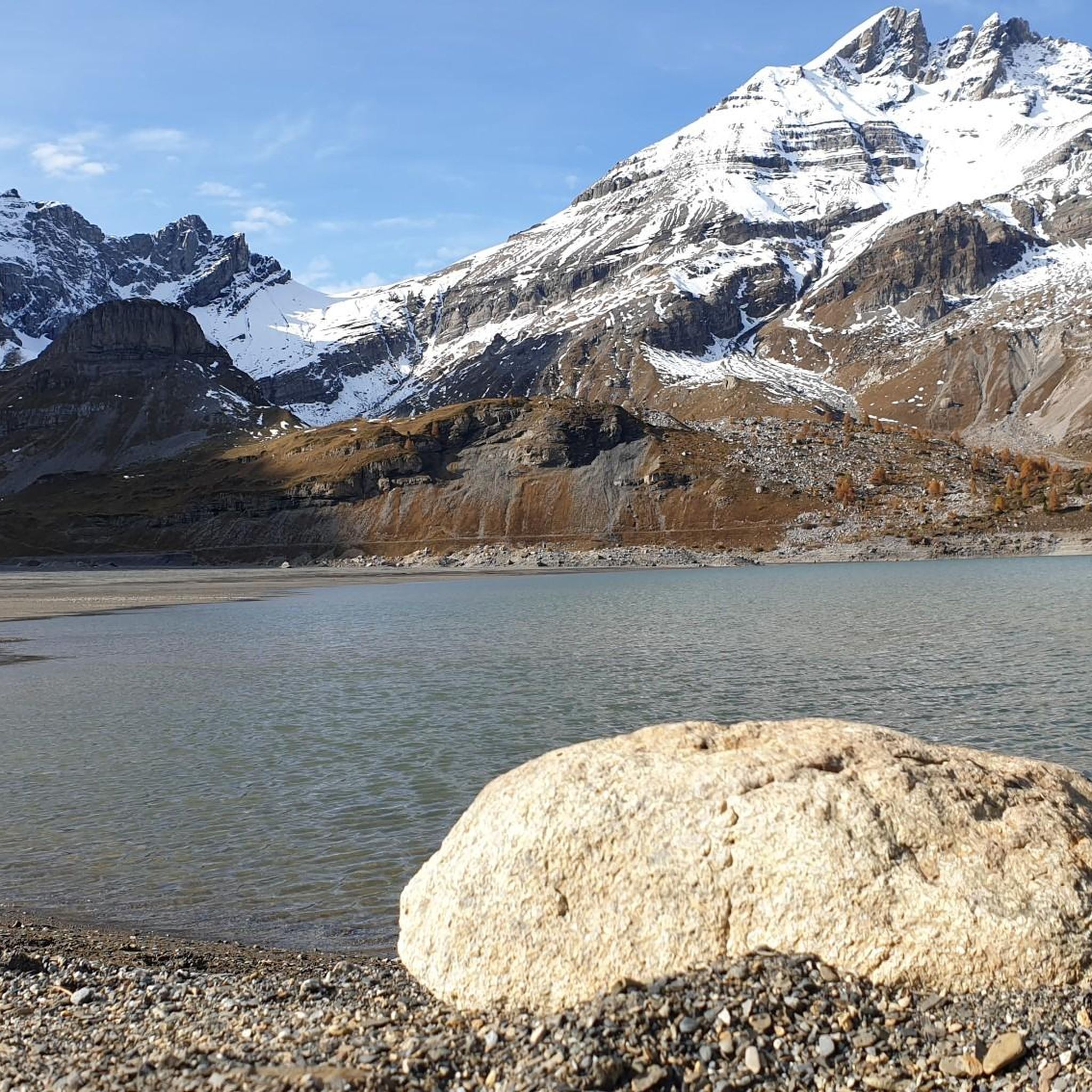
MTB Trails around Evionnaz
Cycling around Evionnaz

Gravel biking around Evionnaz
Running Trails around Evionnaz
Other adventures around Evionnaz


Tips from the Community

Beautiful and easy to access
0
0

fairly flat hike, except for the steep section at the end. To enjoy the waterfalls, do it the day after it rains!
0
0

Magical place with a great welcome and above all an incredible view.
0
0

Impressive waterfall of several meters in the Cirque du Fer à Cheval.
0
0
The Cirque du Fer-à-Cheval owes its name to the semicircular shape of its cliffs. Its impressive height (2,000 meters) gives rise to a multitude of waterfalls, the number of which varies depending on the season. It is very easy to access. Twin to the Pyrenean Gavarnie, it is the most visited and best-known site in Sixt-Fer-à-Cheval. Surrounding the eastern slope of the Giffre Valley, it is an immense limestone amphitheater 4 to 5 km long, whose steep cliffs can reach 2,000 m in height. It is the largest Alpine cirque, dominated by the Corne du Chamois. It rests on the steep slopes of the Tenneverge (2,985 m). In June, more than thirty waterfalls gush from its walls.
1
0

Very beautiful nature to linger in. There's also an alpine hut at the top where you can get a drink 😉
1
0

It's best to go early in the morning because it's crowded in the afternoon.
2
0
Frequently Asked Questions
How many mountaineering routes are available around Evionnaz?
Evionnaz offers a diverse range of mountaineering experiences, with over 20 routes documented on komoot. These routes vary in difficulty, catering to both moderate and more challenging skill levels.
Are there routes suitable for beginners or those looking for an easier experience?
While many routes are challenging, there are moderate options available. For instance, the Lac du Plan des lacs – Vue du bout du monde loop from Cirque du Fer à Cheval (parking) is a moderate 6.3-mile trail offering scenic views within a natural amphitheater, typically taking around 3 hours 22 minutes.
What about more challenging mountaineering routes in the area?
Evionnaz is renowned for its demanding routes, especially within the Dents du Midi mountain range. Challenging options include the View of Lac d'Emosson – Dinosaur Footprints loop from Lac d'Émosson, an 8.1-mile difficult path featuring the impressive Lac d'Emosson and unique dinosaur footprints. Another difficult route is the Mont de l'Arpille loop from Ravoire, providing panoramic views.
Can I find circular mountaineering routes near Evionnaz?
Yes, many routes in the Evionnaz area are designed as loops, allowing you to start and end at the same point. Examples include the moderate Lac du Plan des lacs – Vue du bout du monde loop from Cirque du Fer à Cheval (parking) and the more difficult Le Luisin – Col d'Emaney loop from Le Luisin.
What are some notable natural features or attractions I can see along the routes?
The region is rich in natural beauty. You can encounter the dramatic Dents du Midi mountain range, the picturesque Lac de Salanfe, and the impressive Lac d'Emosson. Some routes also lead to stunning waterfalls like the Vogealle Waterfall or the Pissevache Waterfall. You might also discover unique features like dinosaur footprints near Lac d'Emosson.
Are there any routes that offer views of the Mont Blanc Massif?
Yes, from certain vantage points, mountaineers can enjoy excellent views of the majestic Mont Blanc massif. The crossing of Le Luisin, for example, offers an alpine path that provides a superb viewpoint opposite this iconic range.
What is the best time of year for mountaineering in Evionnaz?
The best time for mountaineering in Evionnaz is typically during the warmer months, from late spring to early autumn, when trails are clear of snow and weather conditions are more stable. This allows for safe access to higher altitudes and panoramic views.
Is it possible to access mountaineering routes in Evionnaz using public transport?
Evionnaz is a village in the Valais region of Switzerland, and public transport options like trains and buses are generally available in the region. While specific route starting points might require a short walk or local transfer, many areas are accessible, especially those near major villages or reservoirs like Lac de Salanfe.
Where can I park when planning a mountaineering trip in Evionnaz?
Many popular mountaineering routes, such as the Lac du Plan des lacs – Vue du bout du monde loop, start from designated parking areas like the one at Cirque du Fer à Cheval. Parking is often available near major trailheads or points of interest like Lac d'Émosson, though it's always advisable to check local signage.
What do other mountaineers say about the routes in Evionnaz?
The mountaineering routes around Evionnaz are highly rated by the komoot community, with an average score of 4.7 stars from over 20 reviews. Mountaineers often praise the dramatic landscapes, the challenging yet rewarding ascents, and the breathtaking panoramic views, especially of the Dents du Midi and Mont Blanc massifs.
Are there any specific permits required for mountaineering in this region?
Generally, permits are not required for standard mountaineering routes in the Trient Valley Nature Park around Evionnaz. However, for specific technical climbs or protected areas, it's always recommended to check with local authorities or mountain guides for any specific regulations or access requirements.
How long do mountaineering routes in Evionnaz typically take to complete?
The duration of routes varies significantly based on difficulty and distance. Moderate routes like the Lac du Plan des lacs – Vue du bout du monde loop can take around 3 hours 22 minutes, while more difficult and longer trails, such as the Le Luisin – Col d'Emaney loop, can extend to over 6 hours.
Can I spot any wildlife while mountaineering in the Trient Valley Nature Park?
Being nestled within the Trient Valley Nature Park, the Evionnaz area offers a pristine environment where you may encounter various alpine wildlife. Keep an eye out for chamois, ibex, marmots, and a variety of bird species in their natural habitat, especially in quieter sections of the trails.
Are there any routes that feature waterfalls?
Yes, the region boasts several impressive waterfalls. You can explore routes that pass by the magnificent Vogealle Waterfall, the Gorges du Durnand Waterfalls, or the powerful Pissevache Waterfall, offering stunning natural spectacles along your mountaineering journey.
Most popular routes around Evionnaz
Most popular attractions around Evionnaz

Get inspired with the komoot mobile app


Explore more
Browse the best Mountain Hikes & Routes in other regions.
