The best walks and hikes around San-Gavino-Di-Fiumorbo
4.5
(384)
3,020
hikers
13
hikes
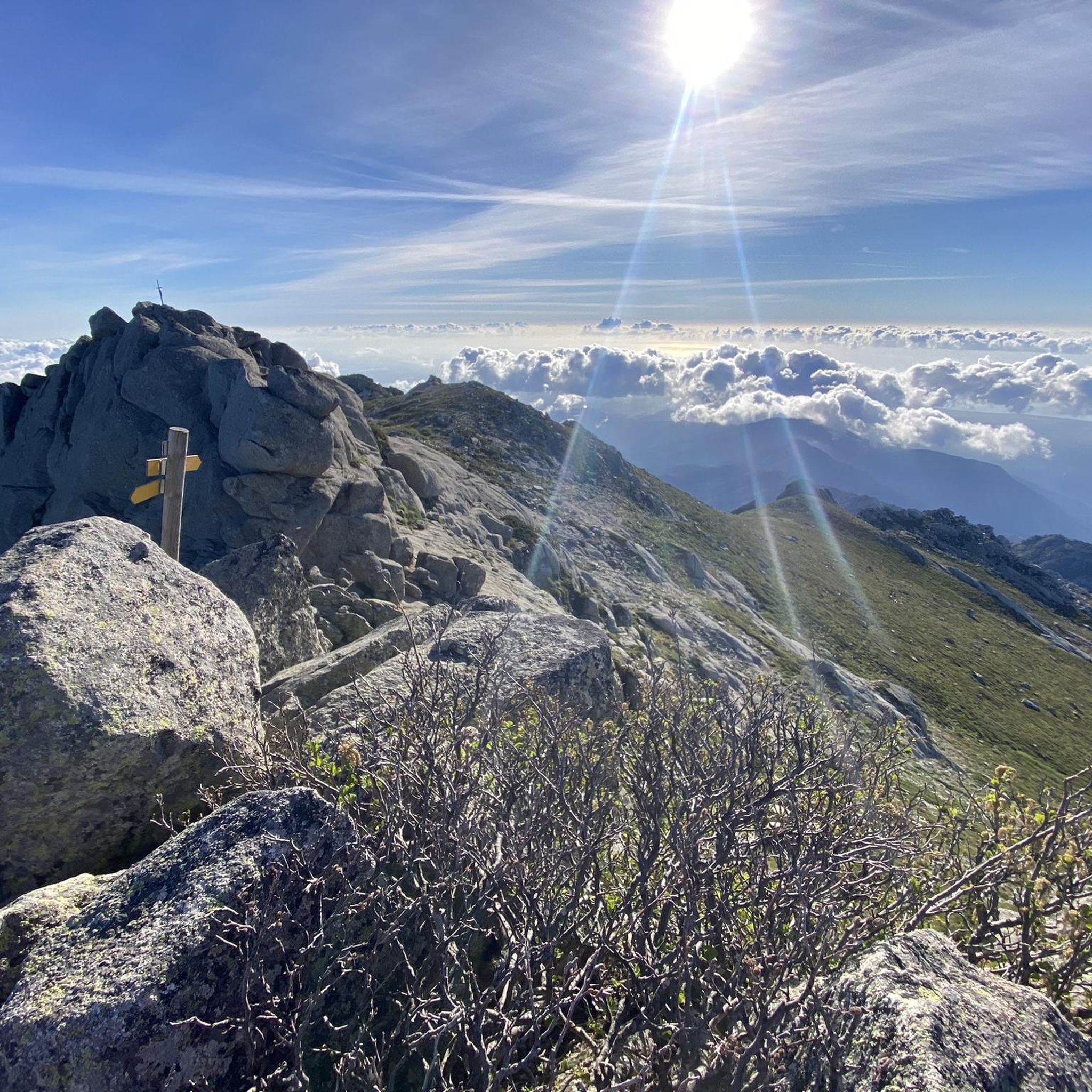
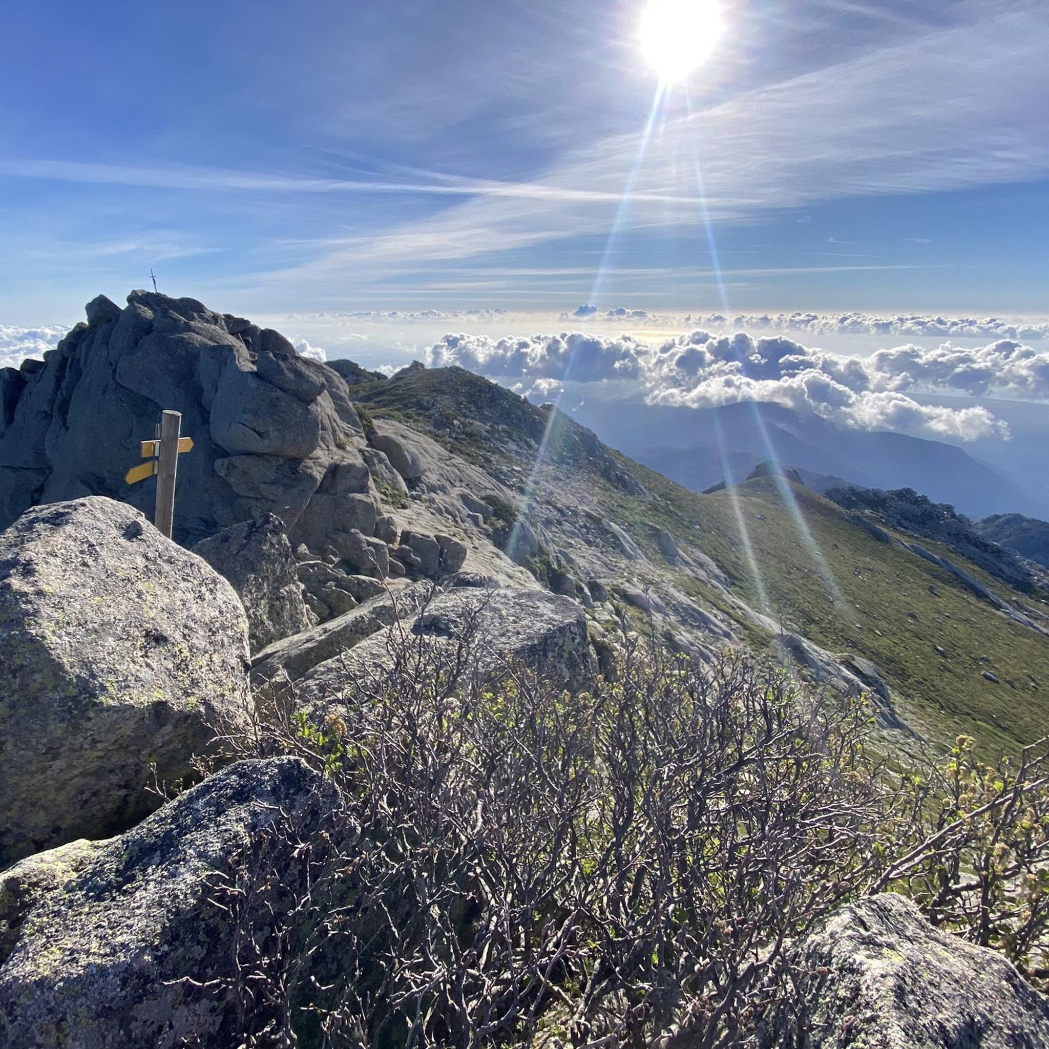
Hiking around San-Gavino-Di-Fiumorbo offers diverse terrain, from dense forests of chestnut and ancient oak to high-altitude plateaus and majestic waterfalls. The region is characterized by its varied landscapes, including serene lakes, rocky summits, and unique "pozzines" – acidic peat bogs with natural water holes. Trails traverse rich fir and beech forests, extensive scrubland, and notable valleys, providing a range of experiences for nature enthusiasts.
Best hiking trails around San-Gavino-Di-Fiumorbo
- The most popular hiking route is Bughja Waterfall Trail, a 1.2 miles (1.9 km) trail that takes 54 minutes to complete. This moderate route leads directly to the impressive Buja Waterfall.
- Another top favourite among local hikers is Buja waterfall – Bura waterfall loop from San-Gavino-di-Fiumorbo, a moderate 3.9 miles (6.2 km) path. This loop explores two significant waterfalls and their surrounding natural pools.
- Local hikers also love the Swimming Spot at Catastaghju loop from Stand de Tir de Catastaghju, a 4.2 miles (6.7 km) trail leading through varied terrain to a refreshing swimming spot, often completed in about 3 hours.
- Hiking around San-Gavino-Di-Fiumorbo is defined by its waterfalls, dense forests, and high-altitude plateaus. The network offers options for different ability levels, from moderate forest paths to more challenging mountain ascents.
- The routes in San-Gavino-Di-Fiumorbo are highly rated by the komoot community with an average score of 4.5 stars from over 380 reviews. More than 3000 hikers have used komoot to explore San-Gavino-Di-Fiumorbo's varied terrain.
Last updated: May 26, 2026
4.7
(57)
234
hikers
1.89km
00:54
140m
140m
Hike this moderate 1.2-mile loop in Corsica Regional Natural Park to discover the impressive Buja Waterfall and its refreshing natural swimm
4.5
(36)
115
hikers
6.23km
02:16
290m
290m
Moderate hike. Good fitness required. Mostly accessible paths. Sure-footedness required.

Sign up for free
5.0
(1)
10
hikers
6.71km
03:00
430m
420m
Moderate hike. Good fitness required. Mostly accessible paths. Sure-footedness required.
4.3
(3)
8
hikers
Moderate hike. Good fitness required. Mostly accessible paths. Sure-footedness required.
3.0
(2)
12
hikers
Moderate hike. Good fitness required. Mostly accessible paths. Sure-footedness required.
Get access to more routes and recommendations from other explorers.
Sign up for free
Already have an account?
Our route recommendations are based on thousands of hikes, rides, and runs completed by other people on komoot.
Start today with a free account
Your next adventure awaits.
Login or Signup
Tips from the Community

Great trails with stunning views of the gorge.
0
0
Great wilderness with some steep passages.
0
0
Spectacular view just below the waterfall.
0
0
This is the way to the waterfall. Always follow the orange markings.
0
0
Great view of the waterfall. Magnificent and always worth a visit.
0
0
Great hiking trail with wonderful views
0
0

A magnificent waterfall at the end of an exciting cross-country tour. A certain amount of fitness and absolute surefootedness are absolutely essential. The waterfall and the opportunity to swim are a wonderful reward.
0
0
Frequently Asked Questions
How many hiking trails are available in San-Gavino-Di-Fiumorbo?
San-Gavino-Di-Fiumorbo offers a diverse network of over 10 hiking routes, ranging from moderate forest paths to more challenging mountain ascents. These trails explore varied landscapes, including dense forests, high-altitude plateaus, and majestic waterfalls.
Are there any hikes that feature waterfalls in San-Gavino-Di-Fiumorbo?
Yes, the region is renowned for its stunning waterfalls. You can explore the impressive Buja Waterfall, one of Corsica's highest, which has a refreshing pool at its base. A popular route is the Bughja Waterfall Trail. Another option is the Buja waterfall – Bura waterfall loop from San-Gavino-di-Fiumorbo, which explores two significant waterfalls and their natural pools. The Cascade des Anglais and Cascade de l'Ondella are also notable natural features in the area.
Can I find circular hiking routes in the area?
Yes, there are several circular routes available. For example, the Buja waterfall – Bura waterfall loop from San-Gavino-di-Fiumorbo is a moderate 3.9-mile path exploring two waterfalls. Another option is the Swimming Spot at Catastaghju loop from Stand de Tir de Catastaghju, a 4.2-mile trail leading to a refreshing swimming spot.
What are the unique natural features I can explore while hiking?
Beyond waterfalls, San-Gavino-Di-Fiumorbo is home to unique 'pozzines' – acidic peat bogs with vibrant green lawns and sparkling water holes, found at higher elevations. You can also discover serene lakes like Lacs de Rina, Lake Vitalaca, and Lake Nielluccio, often nestled near prominent peaks such as Monte Renosu. The region also features dramatic rocky summits offering panoramic views.
Are there any historical or geological sites accessible via hiking trails?
Yes, the region offers intriguing historical and geological sites. Hikers can discover locations like U Castellu and the Circinellu Cave, which holds prehistoric and revolutionary history. The remnants of the old Petra Rossa lead mine and the fascinating natural rock formation known as the Trou de la Bombe are also points of interest.
What is the best time of year to go hiking in San-Gavino-Di-Fiumorbo?
The diverse landscapes of San-Gavino-Di-Fiumorbo, from lush forests to rugged rocky areas, make it suitable for hiking across multiple seasons. Spring and autumn generally offer pleasant temperatures and vibrant scenery. Summer is ideal for enjoying the natural pools and waterfalls, but higher altitudes provide cooler air.
Are there any family-friendly hiking options?
The trails in San-Gavino-Di-Fiumorbo cater to various skill levels, including options suitable for families. Many routes wind through dense forests and offer opportunities to enjoy natural pools, providing an engaging experience for all ages. Always check the specific trail's difficulty and length to ensure it matches your family's capabilities.
Where can I find wild swimming spots after a hike?
The region is dotted with refreshing natural pools, especially near its numerous waterfalls and along rivers like the Agnone and Solenzara. The Swimming Spot at Catastaghju loop from Stand de Tir de Catastaghju leads directly to a popular swimming spot. The Buja Waterfall also features a pool at its base, and the Solenzara Valley is known for its crystal-clear natural pools.
What do other hikers say about the trails in San-Gavino-Di-Fiumorbo?
The trails in San-Gavino-Di-Fiumorbo are highly rated by the komoot community, with an average score of 4.5 stars from over 380 reviews. Hikers often praise the remarkable variety of landscapes, from lush forests to rugged areas, and the well-marked paths that cater to different skill levels.
Are there any long-distance hiking trails that pass through San-Gavino-Di-Fiumorbo?
Yes, the region is part of major hiking routes. Sections of the renowned GR20, Europe's most challenging long-distance trail, offer stunning natural scenery, mountain lakes, and ridge walks with sea views. The Mare a Mare Centre long-distance hike also traverses the area, providing another immersive trekking experience through Corsica's diverse landscapes.
What kind of terrain can I expect on hikes around San-Gavino-Di-Fiumorbo?
You can expect a remarkable variety of terrain. Trails wind through dense forests of chestnut and ancient oak, rich fir and beech forests, extensive scrubland, and high-altitude plateaus. The landscape also features serene lakes, unique 'pozzines,' rugged rocky areas, and dramatic summits, ensuring a dynamic hiking experience.
Are there any mountain huts or peaks I can visit near the hiking trails?
Yes, the area offers access to several mountain huts and prominent peaks. You can find refuges like Prati Refuge and Usciolu Refuge, as well as the unique Pozzi mountain huts. Notable peaks include Mount Incudine and Mount Formicula, offering breathtaking views.
Is public transport available to reach trailheads in San-Gavino-Di-Fiumorbo?
Public transport options to specific trailheads in San-Gavino-Di-Fiumorbo can be limited due to its rural nature. It is advisable to check local bus schedules or consider car rental for more flexible access to various starting points. For general information about the region, you might find resources on the Visit Corsica website.
Most popular routes around San-Gavino-Di-Fiumorbo
Most popular attractions around San-Gavino-Di-Fiumorbo

Get inspired with the komoot mobile app


Explore more
Browse the best Hikes in other regions.
