The best road cycling routes around Sainte-Eulalie
4.4
(46)
1,736
riders
70
rides
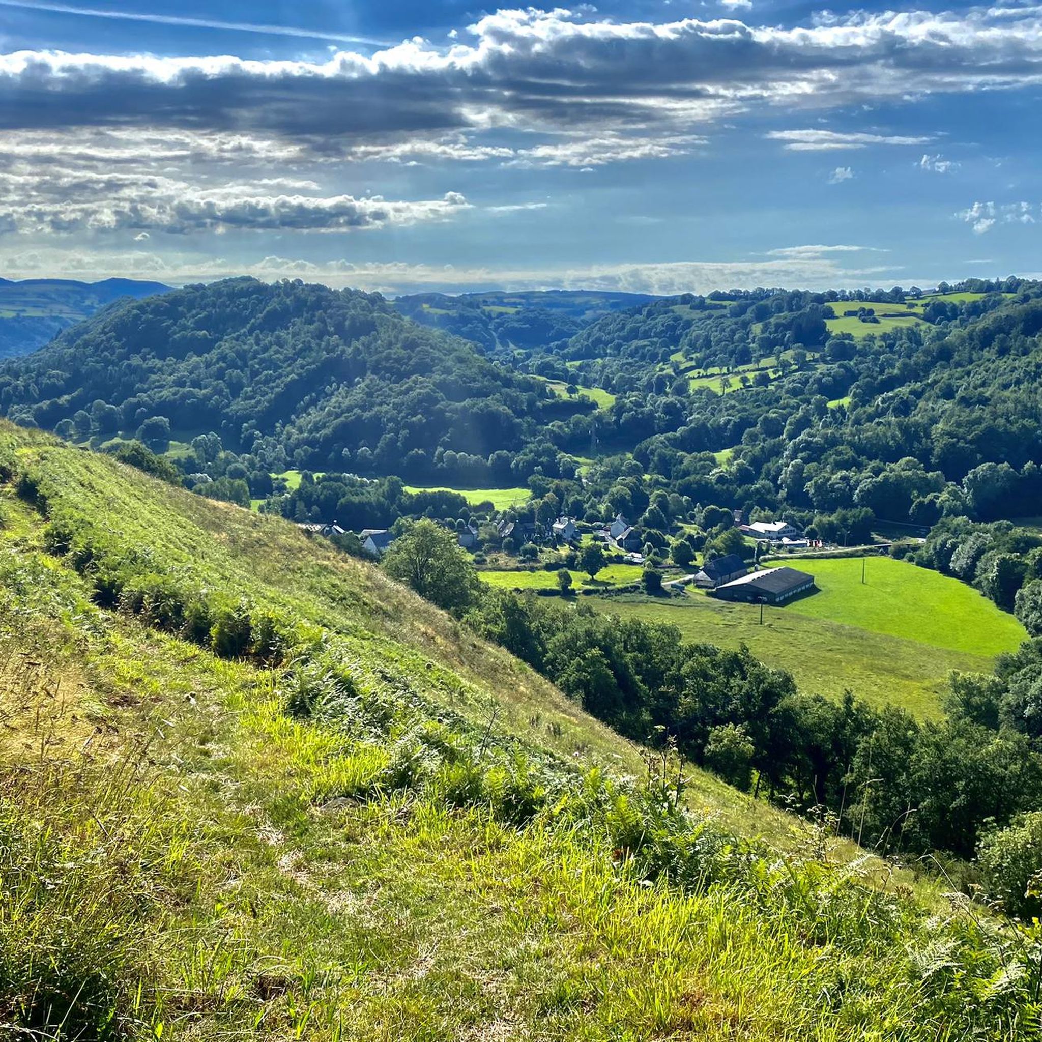
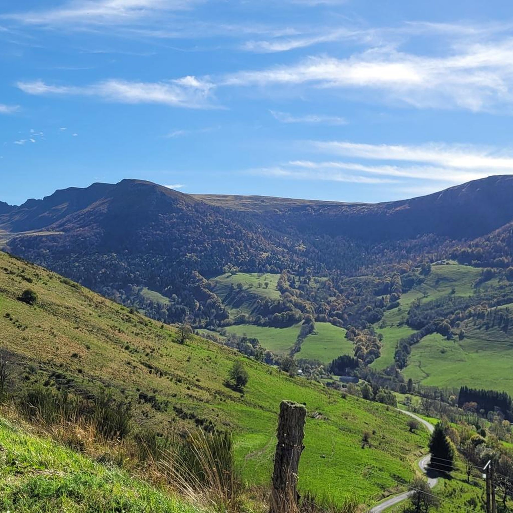
Road cycling routes around Sainte-Eulalie traverse a landscape characterized by its mountainous terrain, featuring notable cols and passes. The region includes varied elevations, with routes often leading through valleys and ascending to higher points like the Col de Saint-Georges. Road cyclists can expect a mix of challenging climbs and scenic descents across this diverse topography.
Best road cycling routes around Sainte-Eulalie
- The most popular road cycling route is Col de Saint-Georges (954 m) loop from L'Hopital, a 27.6 miles…
Last updated: May 20, 2026
4.8
(5)
47
riders
44.4km
02:23
740m
740m
Moderate road ride. Good fitness required. Mostly well-paved surfaces and easy to ride.
26
riders
49.7km
02:27
780m
780m
Moderate road ride. Good fitness required. Mostly well-paved surfaces and easy to ride.

Sign up for free
23
riders
53.3km
02:51
1,030m
1,030m
Hard road ride. Very good fitness required. Mostly well-paved surfaces and easy to ride.
13
riders
48.6km
02:19
590m
590m
Moderate road ride. Good fitness required. Mostly well-paved surfaces and easy to ride.
4.0
(1)
8
riders
28.9km
01:36
490m
490m
Moderate road ride. Good fitness required. Mostly well-paved surfaces and easy to ride.
Get access to more routes and recommendations from other explorers.
Sign up for free
Already have an account?
Our route recommendations are based on thousands of hikes, rides, and runs completed by other people on komoot.
Start today with a free account
Your next adventure awaits.
Login or Signup

Tips from the Community

Either stressful or relaxed from Puy Mary.
0
0
Great scenery, beautiful road, beautiful views. Perfect for a downhill ride.
0
0

Rain, visibility 1m, but otherwise great
0
0
Quickly move through the landscape on the balcony.
1
0

Salers is a municipality in the Cantal department in the Auvergne-Rhône-Alpes region. The town is a completely preserved small town from the Renaissance period, with private and public buildings, city walls, defensive towers and a church. It was included in the association of the most beautiful villages in France. Despite its small population of around 300 inhabitants, the town is a historical, cultural and agricultural center in the sparsely populated mountain region of the Monts du Cantal. Source: https://de.wikipedia.org/wiki/Salers
3
0

From Salers, a pass with low percentages but with a magnificent view of the Santoire valley.
0
0

Col de Légal, at an altitude of 1,231 meters, on the beautiful Route des Crêtes. It allows you to go from the Doire valley to the Bertrande valley, in the heart of the Pays de Salers. There you will find a small inn open all year round.
0
0
Frequently Asked Questions
What kind of terrain can I expect on road cycling routes in Sainte-Eulalie?
Road cycling routes around Sainte-Eulalie are characterized by mountainous terrain, featuring notable cols and passes. You can expect varied elevations, with routes often leading through valleys and ascending to higher points like the Col de Saint-Georges, offering a mix of challenging climbs and scenic descents.
How many road cycling routes are available around Sainte-Eulalie?
There are over 70 road cycling routes available around Sainte-Eulalie, catering to various skill levels from moderate to difficult ascents.
Are there road cycling routes suitable for beginners in Sainte-Eulalie?
While the region is known for its challenging mountainous terrain, there is at least one easy road cycling route available. Most routes are classified as moderate or difficult, so beginners should carefully check route profiles before setting out.
What are some of the more challenging road cycling routes in Sainte-Eulalie?
For experienced cyclists seeking a challenge, the region offers 35 difficult routes. One notable option is the Col de Saint-Georges (954 m) – Col de Légal loop from Saint-Martin-Valmeroux, which covers 33.1 miles (53.3 km) with significant elevation gain through mountain passes.
Are there loop road cycling routes available in Sainte-Eulalie?
Yes, many road cycling routes in Sainte-Eulalie are designed as loops. Examples include the Col de Saint-Georges (954 m) loop from L'Hopital and the Neronne Pass – Route du Puy Mary loop from Loupiac, both offering scenic circular journeys.
What do other road cyclists enjoy most about road cycling in Sainte-Eulalie?
The road cycling routes in Sainte-Eulalie are highly rated by the komoot community, with an average score of 4.6 stars from over 36 reviews. Cyclists often praise the varied terrain, the challenging mountain passes, and the scenic loops that define the region's cycling experience.
What are some scenic viewpoints or attractions I can see along road cycling routes?
Many routes offer scenic views of the surrounding landscape. You might pass by the Route du Puy Mary, known for its stunning vistas, or the historic village of Salers. The Ascent of the Pas de Peyrol / Puy Mary from Salers is another highlight for panoramic views.
Are there any waterfalls near the road cycling routes in Sainte-Eulalie?
Yes, the Salins Waterfall is an attraction in the vicinity of Sainte-Eulalie that you might consider visiting, though it may require a short detour from some cycling routes.
What is a good moderate-difficulty road cycling route in the area?
A popular moderate route is the Stone Archway and Balcony loop from Saint-Martin-Valmeroux. This route covers 30.2 miles (48.6 km) and offers a balanced challenge with rewarding scenery.
Where can I find a shorter road cycling route in Sainte-Eulalie?
For a shorter ride, consider the Roadbike loop from Saint-Martin-Valmeroux. This moderate route is 18 miles (28.9 km) long and can typically be completed in under two hours.
What is the best time of year for road biking in Sainte-Eulalie?
Given the mountainous terrain and cols, the best time for road biking in Sainte-Eulalie is generally from late spring through early autumn (May to October) when the weather is milder and passes are clear of snow. Always check local weather conditions before your ride.
Are there any unique landmarks to look out for while cycling?
Beyond natural beauty, you might encounter interesting structures like the Suspension bridge, which adds a unique element to the landscape and can be a point of interest during your ride.
Most popular attractions around Sainte-Eulalie

Get inspired with the komoot mobile app


Explore more
Browse the best Road cycling routes in other regions.
