The best road cycling routes around Vouarces
4.0
(6)
156
riders
16
rides
Road cycling routes around Vouarces traverse a landscape characterized by the gentle plains and river valleys of the Seine. The region features a mix of agricultural land, quiet country roads, and sections alongside canals. Elevation changes are generally modest, with some routes offering slightly more undulating terrain through forested areas.
Best road cycling routes around Vouarces
- The most popular road cycling route is Upper Seine Canal – Towpath loop from Méry-sur-Seine, a 29.3 miles (47.1 km) trail that takes…
Last updated: June 25, 2026
5.0
(2)
84
riders
46.5km
01:47
40m
40m
Moderate road ride. Great for any fitness level. Some segments of this route may be unpaved and difficult to ride.
18
riders
47.7km
01:49
50m
50m
Easy road ride. Great for any fitness level. Mostly well-paved surfaces and easy to ride.

Sign up for free
11
riders
Moderate road ride. Good fitness required. Mostly well-paved surfaces and easy to ride.
11
riders
98.1km
04:04
490m
490m
Moderate road ride. Good fitness required. Mostly well-paved surfaces and easy to ride.
5.0
(2)
4
riders
44.9km
01:46
160m
160m
Easy road ride. Great for any fitness level. Mostly well-paved surfaces and easy to ride.
Get access to more routes and recommendations from other explorers.
Sign up for free
Already have an account?
Our route recommendations are based on thousands of hikes, rides, and runs completed by other people on komoot.
Start today with a free account
Your next adventure awaits.
Login or Signup
Popular around Vouarces


Tips from the Community

A "chemin de halage", in German "treidelpfad", which runs alongside the waterway right next to the bed of the river or canal, was an indispensable part of the transport infrastructure in earlier times. Before ships could move using motor power, horses ran along the bank and pulled the ship against the current. This was called "treideln", and this is how the "treidelpfads" got their name, which has been passed down to this day. Where these paths directly on the bank have been preserved, they are often used by hikers and cyclists.
0
0

Drinking water fountain on the main road
0
0

do not hesitate to return to the main road then onto the canal at each crossing
0
0

Vélo-route Canal de la Haute Seine. A delight. I recommend
0
0

This path, which was used to tow barges from the shore, offers a variety of landscapes, from forests to fields. The path is largely flat and easy to follow, and you can enjoy views of the river and surrounding countryside.
3
0

A somewhat dilapidated but nevertheless charming church, which knows how to inspire through the details. Entrance is free, photography is allowed and don't expect crowds of visitors.
0
0
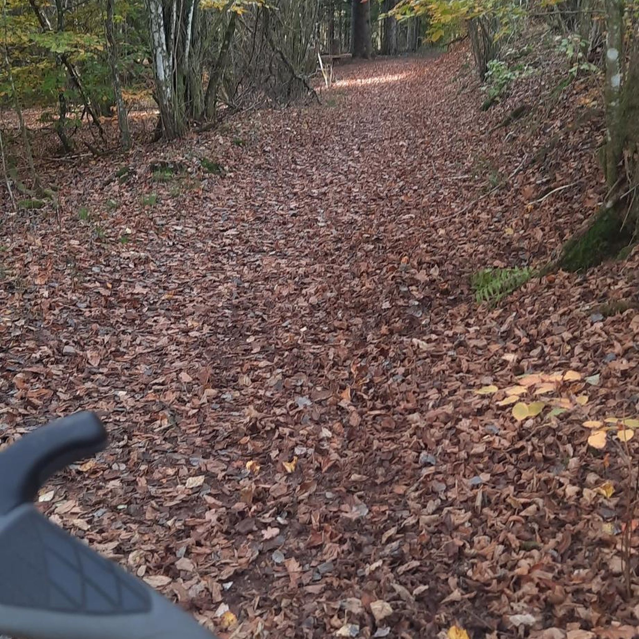
This forest extends over more than 2500 hectares, it has rich flora and fauna. There is a Fau (old twisted oak) not far from the Etoile crossroads.
1
0
Small village church with a pretty clock on its upper part.
1
0
Frequently Asked Questions
How many road cycling routes are available around Vouarces?
There are over 10 road cycling routes around Vouarces, offering a variety of experiences for different skill levels. The komoot community has explored these routes over 120 times.
Are there easy road cycling routes suitable for beginners in Vouarces?
Yes, Vouarces offers several easy road cycling routes perfect for beginners. For instance, the Beautiful view of the Seine – Le Moulin de Sauvage loop from Anglure is an easy 22.1-mile (35.6 km) route with modest elevation changes, ideal for a relaxed ride.
What are the typical distances for road cycling routes in Vouarces?
Road cycling routes in Vouarces vary in distance, catering to different preferences. You can find routes ranging from around 20 miles (32 km) for shorter rides to over 60 miles (96 km) for longer excursions. For example, the Saint-Denis Church – Saint-Martin Church loop from Anglure is a substantial 61.0-mile (98.1 km) route.
Are there any challenging road cycling routes in the Vouarces area?
While Vouarces is known for its gentle plains, some routes offer longer distances and more varied terrain. The Forêt Domaniale de la Traconne – Drinking Water Fountain loop from Anglure, at 58.2 miles (93.7 km) with nearly 500 meters of elevation gain, provides a more challenging experience through forested areas.
What is the best season for road cycling around Vouarces?
The region's climate, characterized by gentle plains and river valleys, makes spring and autumn particularly pleasant for road cycling. The weather is generally mild, and the natural scenery is vibrant, offering comfortable conditions for longer rides.
Are there road cycling routes that are loop trails in Vouarces?
Yes, many of the road cycling routes around Vouarces are designed as loops, allowing you to start and end at the same point. An example is the popular Upper Seine Canal – Towpath loop from Méry-sur-Seine, which offers a scenic circular ride.
What kind of scenery can I expect on road cycling routes in Vouarces?
Road cycling routes in Vouarces offer diverse scenery, including agricultural land, quiet country roads, and sections alongside the Upper Seine Canal. You'll also find routes that pass through forested areas like the Forêt Domaniale de la Traconne, providing varied natural landscapes.
Are there any routes that pass by historical landmarks or points of interest?
Yes, some routes lead past local landmarks. For instance, the Saint-Denis Church – Saint-Martin Church loop from Anglure takes you through rural landscapes and past local churches, offering glimpses of the region's heritage.
What do other road cyclists enjoy most about cycling in Vouarces?
The area is highly rated by the komoot community, with an average score of 4.0 stars from over 6 reviews. Reviewers often praise the quiet country roads, the scenic river paths, and the overall peaceful atmosphere for road cycling.
Are there any routes with minimal elevation gain for a very flat ride?
Yes, routes along the Upper Seine Canal are generally very flat. The Upper Seine Canal – Towpath loop from Méry-sur-Seine, for example, has minimal elevation changes, making it ideal for a consistently flat ride.
Can I find routes that are away from heavy traffic?
Many road cycling routes in Vouarces utilize quiet country roads and dedicated towpaths, particularly those alongside the Seine. This allows for a more peaceful cycling experience away from heavy vehicle traffic.
Are there any routes that go through forested areas?
Yes, some routes venture into forested regions. The Forêt Domaniale de la Traconne – Drinking Water Fountain loop from Anglure is a prime example, leading cyclists through the expansive Forêt Domaniale de la Traconne.

Get inspired with the komoot mobile app


Explore more
Browse the best Road cycling routes in other regions.
