The best running trails around Bovernier
4.7
(28)
4,550
runners
162
runs
Jogging around Bovernier offers diverse experiences within the Swiss canton of Valais, situated at the entrance to the Val d'Entremont. The region is characterized by varied terrain, including scenic valleys, dense forests, and alpine panoramas, with notable features such as the Gorges du Durnand and the Col de Balme. Running routes here range from less strenuous paths along rivers to challenging alpine trails with significant elevation changes, catering to different fitness levels.
Best jogging routes around Bovernier
- The most popular…
Last updated: October 7, 2026
29
runners
9.27km
01:11
290m
290m
Moderate run. Good fitness required. Mostly paved surfaces. Suitable for all skill levels.
26
runners
Hard run. Very good fitness required. Mostly paved surfaces. Suitable for all skill levels.

26
runners
7.82km
01:27
630m
630m
Hard run. Very good fitness required. Sure-footedness, sturdy shoes and alpine experience required.
26
runners
14.0km
02:18
1,040m
1,040m
Hard run. Very good fitness required. Sure-footedness, sturdy shoes and alpine experience required.
20
runners
8.84km
01:03
220m
220m
Hard run. Good fitness required. Sure-footedness, sturdy shoes and alpine experience required.
Get access to more routes and recommendations from other explorers.
Already have an account?
Our route recommendations are based on thousands of hikes, rides, and runs completed by other people on komoot.
Start today with a free account
Your next adventure awaits.


Tips from the Community

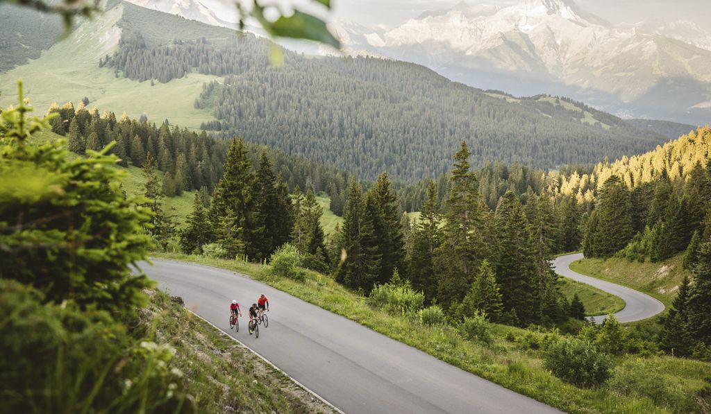
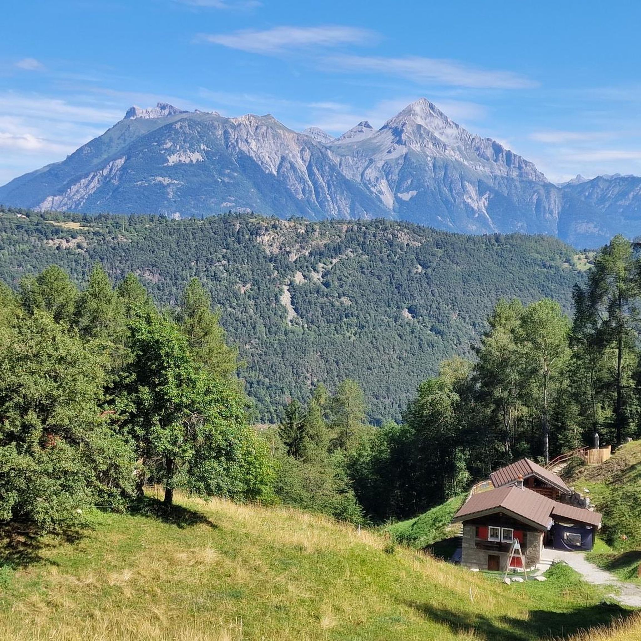
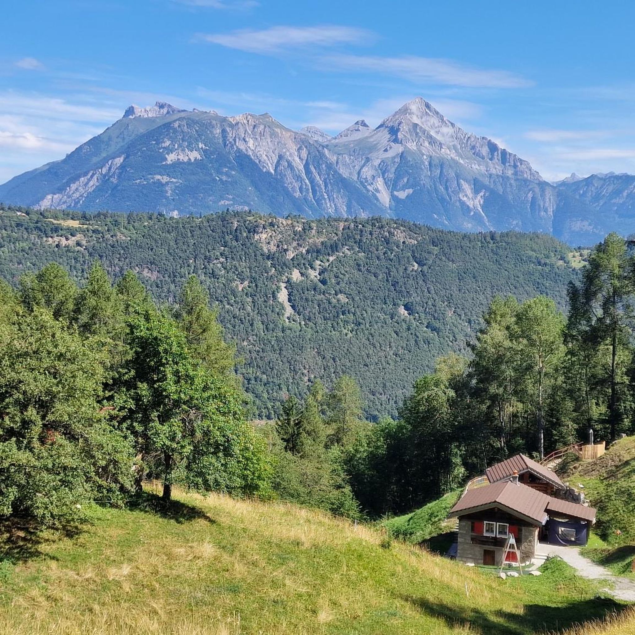
A beautiful mountain village on the magnificent Lac de Champex. Highly recommended, even on the way to the Great St. Bernard Pass; the extra elevation gain and fantastic route are definitely preferable to the busy national road in the valley.
0
0

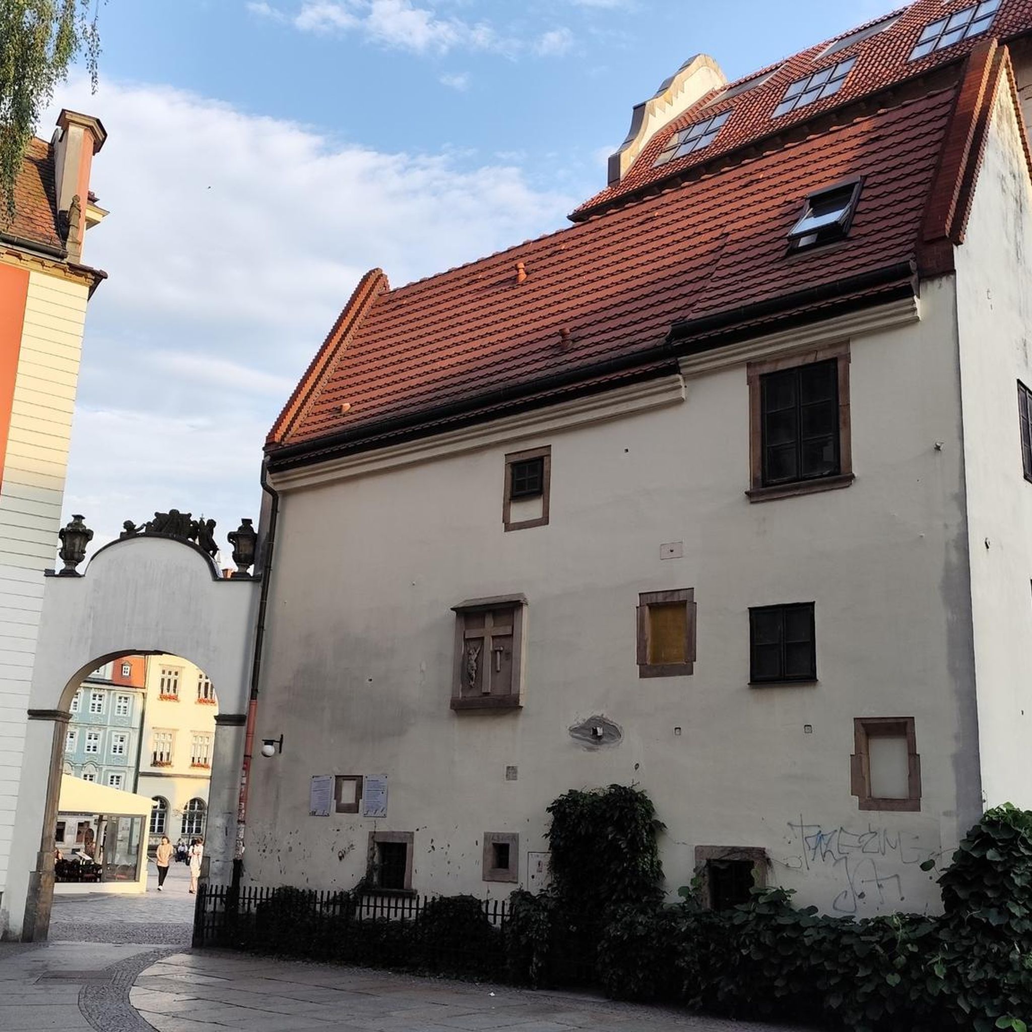
one of Europe’s most popular destinations for art lovers…
0
0

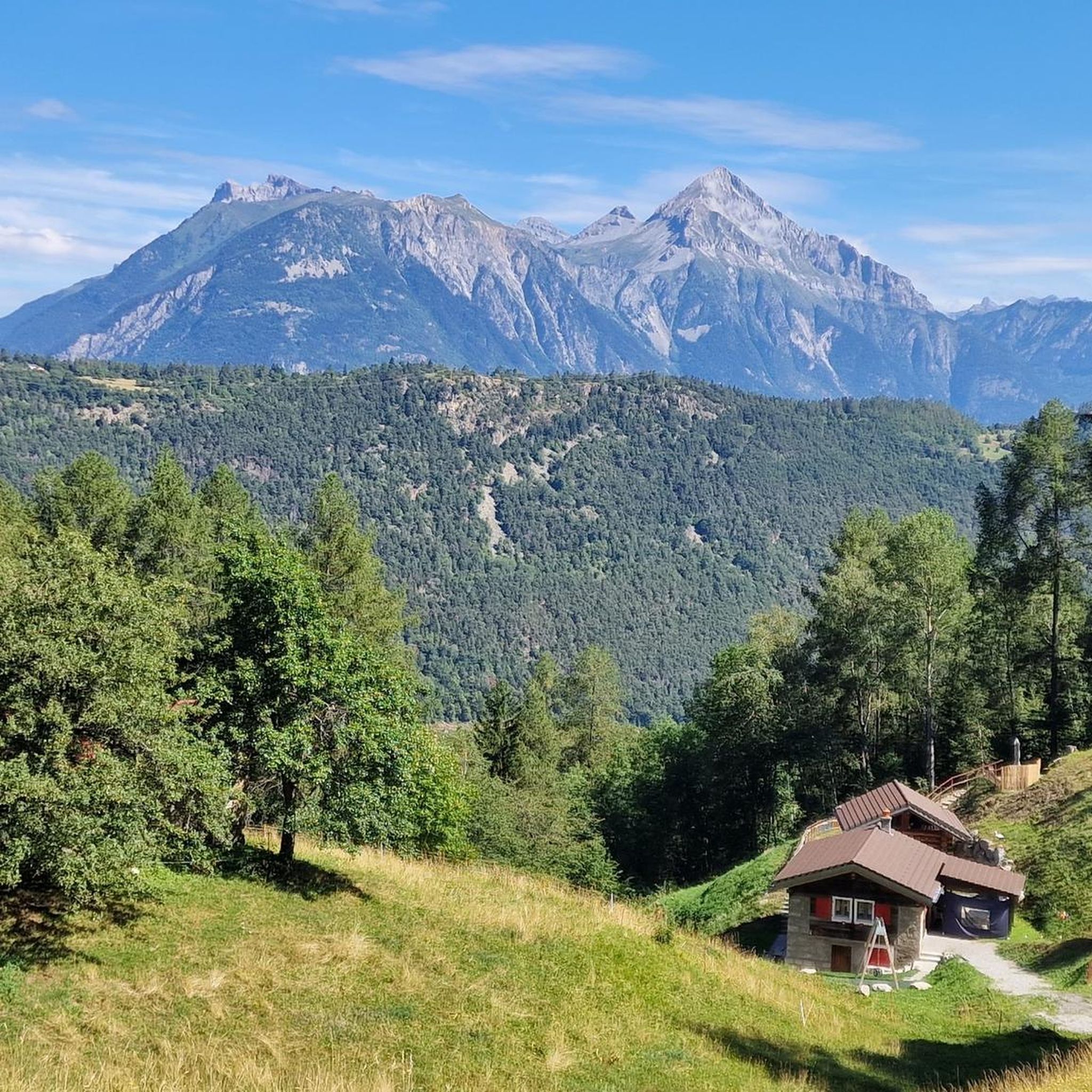
A lively little village with a mountain lake. Surrounded by a wonderful mountain panorama. Champex-Lac offers various options for dining.
0
0

The Fondation Pierre Gianadda in Martigny, Valais, is a remarkable cultural foundation with many facets. Inaugurated in 1978, the Fondation Pierre Gianadda manages museums and exhibitions in Martigny. The permanent exhibitions include the Automobile Museum, the Gallo-Roman Museum, the Louis and Evelyn Franck Collection, the Sculpture Park and the Chagall Court. The foundation was built around the remains of a Celtic temple discovered in 1976. It presents important archaeological finds from Martigny, including the famous Great Bronzes, discovered in 1883.
7
0
After years of excavations and restoration work, one of the smallest amphitheatres of the Roman Empire has come into its own here: it could seat 6,000 people.
5
0
Barryland - Musée et Chiens du St-Bernard is a fascinating museum and dog shelter located in Martigny, Valais, Switzerland. The museum is dedicated to the Saint Bernard, the national dog breed of Switzerland. These legendary dogs originate from the mythical Great St Bernard Pass, not far from Martigny. Dive into their history and follow their tracks to the pass. Discover the stories of these legendary avalanche dogs, including that of the courageous “Barry I”. It was his remarkable rescues that made him famous and ensured that Saint Bernards are still called “Barry” today. Also learn about the new roles that the dogs’ descendants now have in animal-assisted interventions.
2
0

It is worth visiting the interior.
0
0
Frequently Asked Questions
How many running routes are available around Bovernier?
Bovernier offers a wide selection of running routes, with over 170 trails to explore. These range from easy paths to challenging alpine runs, catering to various fitness levels.
Are there running routes suitable for beginners or those looking for an easy jog?
Yes, Bovernier has options for all abilities. While many routes are challenging, there are easy paths available. For example, the region offers accessible paths along rivers, providing a less strenuous experience. Look for routes marked as 'easy' or 'moderate' on komoot.
What kind of terrain can I expect on the jogging trails in Bovernier?
The terrain around Bovernier is incredibly varied. You can expect a mix of accessible paths, dense forests, lush prairies, and more rugged alpine trails. Routes often feature significant elevation changes, offering diverse natural settings and panoramic views.
Are there any running routes that pass by waterfalls or other natural monuments?
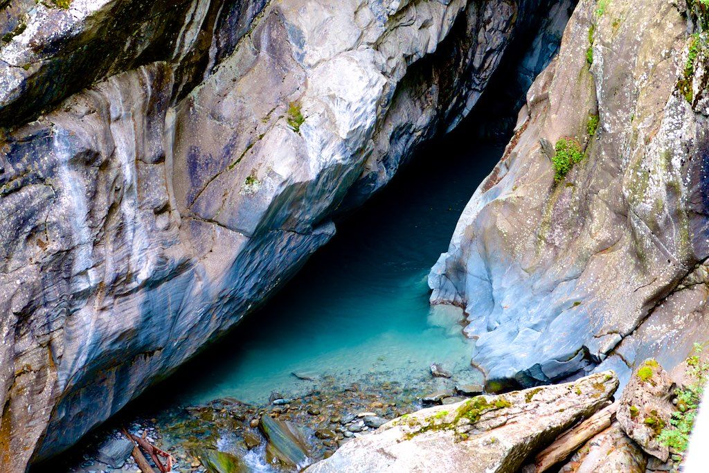
Absolutely! The region is known for its stunning natural features. You can find routes that take you near the impressive Gorges du Durnand Waterfalls or the majestic Pissevache Waterfall. These offer a unique and immersive experience amidst nature.
Can I find circular running routes in Bovernier?
Yes, many of the running routes in Bovernier are designed as loops. For instance, the Champex-Lac loop from Champex-Lac is a popular 5.7-mile (9.2 km) trail that takes you through the beautiful alpine village and its surroundings.
What are some scenic highlights or viewpoints I can experience while running in Bovernier?
Bovernier offers breathtaking scenery. Many routes provide panoramic views of Mont Blanc and the Chamonix Valley, especially from higher elevations like the Col de Balme. You'll also encounter pristine lakes, alpine panoramas, and charming villages like Champex-Lac.
Are there any running routes suitable for families with children?
While many routes involve significant elevation, there are easier, more accessible paths that can be suitable for families. Look for routes described as 'easy' or those that stick to less rugged terrain, such as paths along rivers or around villages like Champex-Lac, which offers delightful areas for strolling.
What do other runners say about the trails in Bovernier?
The running routes in Bovernier are highly rated by the komoot community, with an average score of 4.5 stars from 19 reviews. Runners often praise the varied terrain, stunning alpine scenery, and the diverse options available for different skill levels.
Are there any running routes that offer amenities like cafes or places to rest?
Yes, some routes pass by locations with amenities. For example, the Col de Balme features a refuge where you can rest and enjoy traditional local dishes. The Alpage de Bovine - Rustic Mountain Cafe is another spot along some trails for refreshments.
Is it possible to reach running trails in Bovernier using public transport?
Bovernier is integrated into the regional transport network, making it possible to access various trailheads. Specific public transport options will depend on the starting point of your chosen route. It's advisable to check local schedules for connections to areas like Martigny-Croix or Champex-Lac, which are common starting points for runs.
Are there any dog-friendly running routes in the Bovernier area?
Many trails in the Valais region are dog-friendly, but it's always recommended to keep dogs on a leash, especially in areas with livestock or protected wildlife. The varied terrain, from forest paths to alpine trails, offers plenty of options for running with your dog, provided they are fit for the chosen difficulty.
What is a good challenging running route in Bovernier?
For a challenging experience, consider the Col de Champex – Plan de l'Au loop from Lac de la Breye. This difficult 7.6-mile (12.2 km) path offers diverse natural settings, including prairies, forests, and alpine vistas, with significant elevation changes.
Can I combine urban exploration with natural landscapes on a run in Bovernier?
Yes, you can. The Place Centrale, Martigny – Tour de la Majorie loop from Martigny-Croix is a popular moderate route that combines urban exploration of Martigny with natural landscapes, offering a unique blend for your run.
Most popular routes around Bovernier
Most popular attractions around Bovernier

Get inspired with the komoot mobile app


Explore more
Browse the best Running Trails & Routes in other regions.
