The best mountain hikes around Realp
4.9
(56)
672
hikers
32
hikes
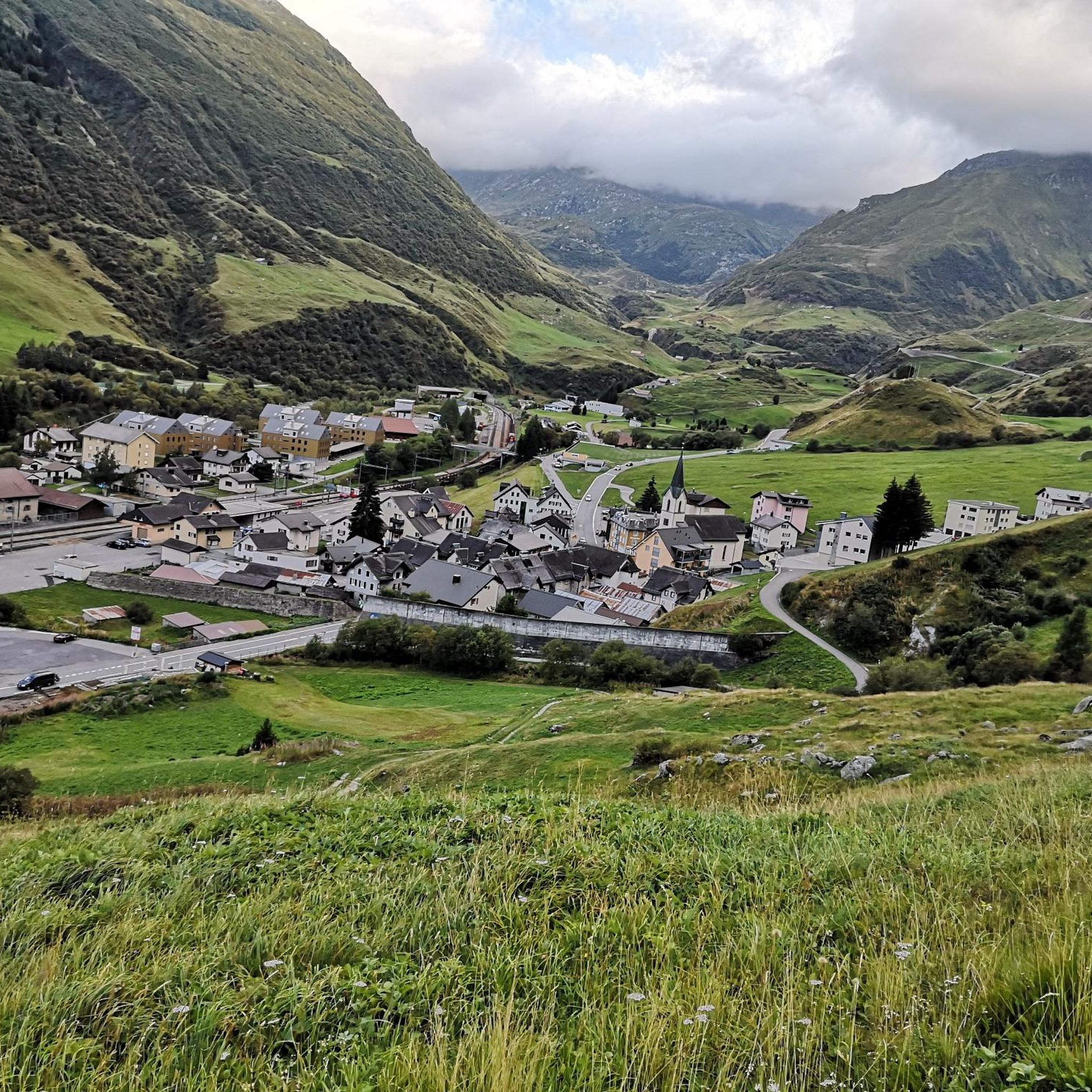
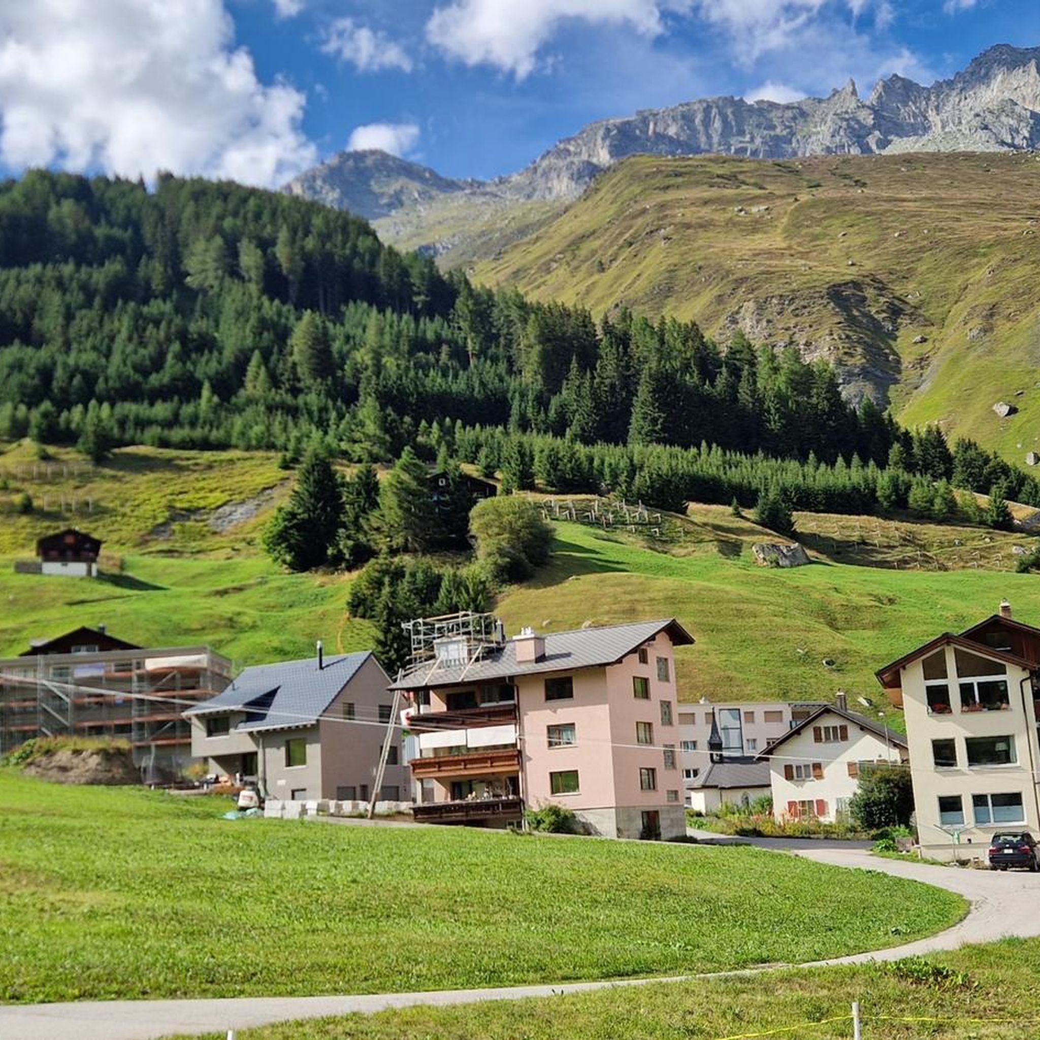
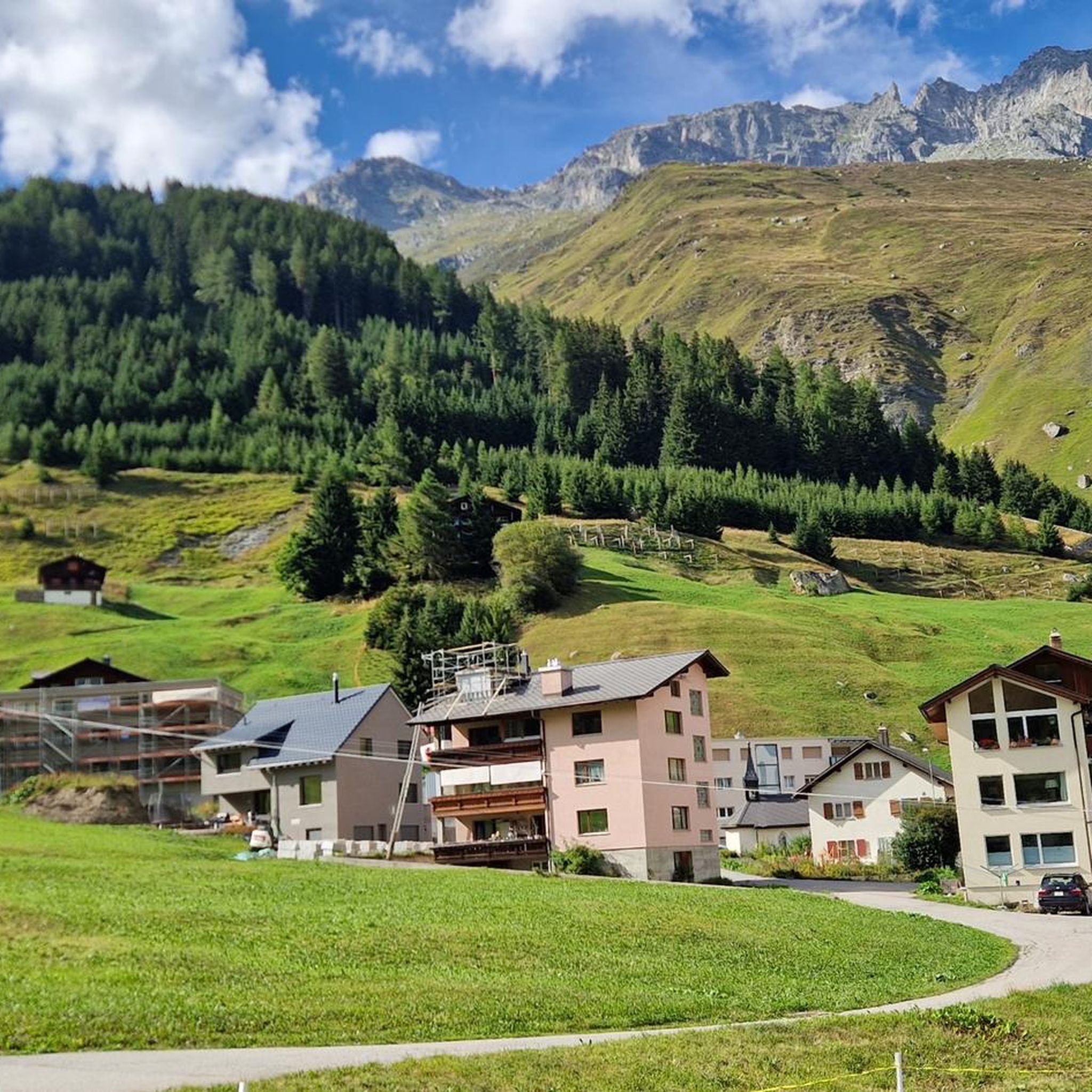
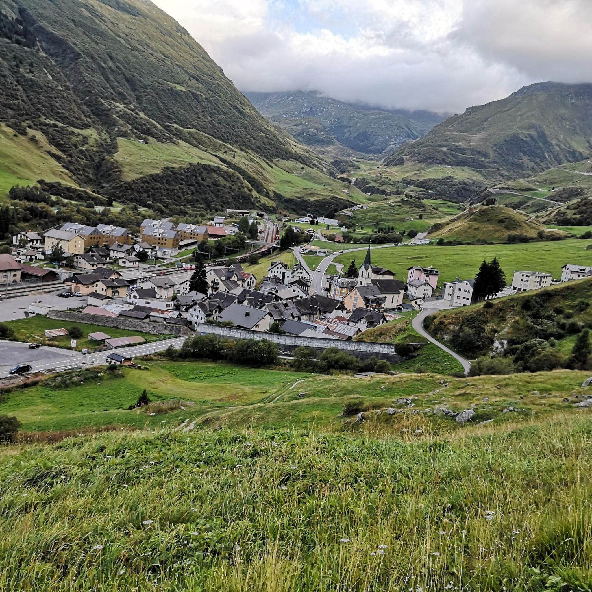
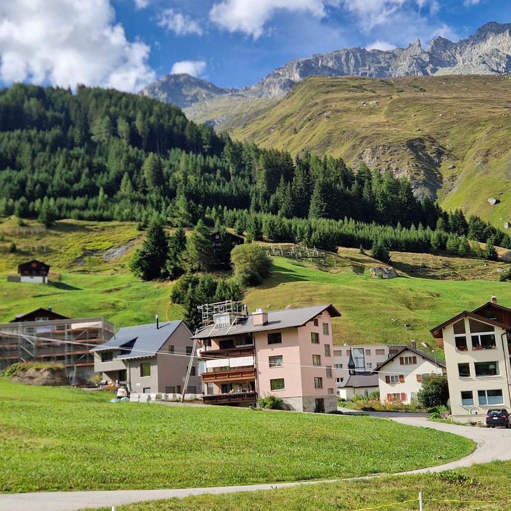
Mountaineering around Realp offers access to the high alpine landscapes of the Swiss Alps, characterized by pristine granite formations, sharp ridges, and impressive glaciers. Situated at 1,538 meters in the Urseren Valley, Realp provides a gateway to renowned mountain passes like Furka, Gotthard, and Oberalp. The region's geology features arctic-like Urner granite, providing challenging environments for experienced mountaineers. This area is ideal for exploring diverse alpine terrain, from demanding ascents to routes traversing high mountain passes.
Best mountaineering routes around…
Last updated: July 6, 2026
5.0
(7)
88
hikers
13.2km
06:51
1,110m
1,110m
Hard mountaineering route. Very good fitness required. Sure-footedness, sturdy shoes and alpine experience required.
4.9
(7)
92
hikers
8.33km
04:33
700m
700m
Hard mountaineering route. Good fitness required. Sure-footedness, sturdy shoes and alpine experience required.

Sign up for free
39
hikers
Hard mountaineering route. Good fitness required. Sure-footedness, sturdy shoes and alpine experience required.
4
hikers
12.5km
05:53
840m
840m
Hard mountaineering route. Very good fitness required. Sure-footedness, sturdy shoes and alpine experience required.
5.0
(2)
23
hikers
13.4km
05:46
640m
640m
Hard mountaineering route. Very good fitness required. Sure-footedness, sturdy shoes and alpine experience required.
Get access to more routes and recommendations from other explorers.
Sign up for free
Already have an account?
Our route recommendations are based on thousands of hikes, rides, and runs completed by other people on komoot.
Start today with a free account
Your next adventure awaits.
Login or Signup



Tips from the Community

very pretty here, very pretty
0
0
pretty here, very pretty
2
0

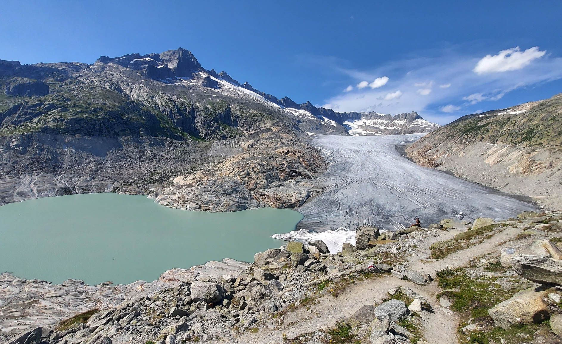
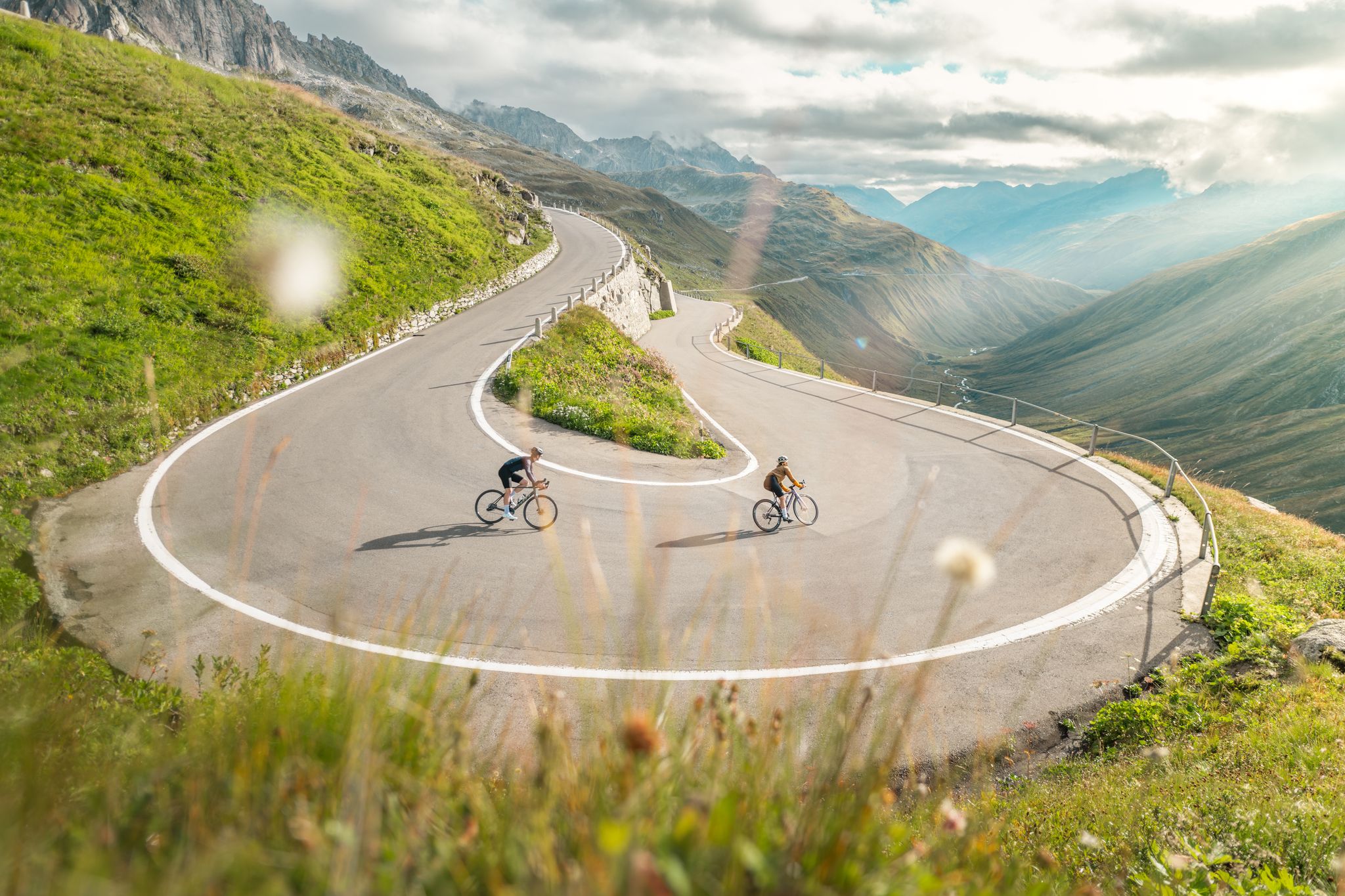
The Furka Pass is a 2,429 m high Swiss road pass in the Alps. It connects the Urseren Valley (the upper valley of the Reuss River) in the canton of Uri with the Goms district in the canton of Valais. It straddles the European watershed between the Mediterranean Sea and the North Sea. Source: Furka Pass – Wikipedia https://share.google/zJGI3KsPRtARfpYje
6
0

Short section secured with chains
1
0

Hello my lovelies This beautiful mountain tour starts right at the (paid) parking lot at Göscheneralpsee. Important: Be sure to bring cash, as cashless payments aren't possible at this altitude – at least that's how it was for me today. Guys, what a dream! This mountain tour was simply fantastic. I can hardly put it into words, but the pictures speak for themselves. I felt like a Chinese person today ;-) I just couldn't stop taking new, amazing photos. It was simply wonderful – everything worked out perfectly. I also tried out my new, high-top hiking boots for the first time today: the Scarpa Zodiac Tech GTX. I'm very happy with them; they're comfortable and offer excellent support. I also brought the SmallRig ST20 Pro smartphone mount (Portable Selfie Stick Tripod) with me for the first time. I have to say: it's really useful! The stick has a Bluetooth shutter release that connects to your smartphone, making it easy to take photos and videos without having to constantly tap on your phone. So: great! About the hike: The first 3 km are on pleasant trails; I would classify this section as a solid T2 mountain hike. From about kilometer 4, the trail becomes significantly rockier, so I would definitely classify this section as a T3. I personally had a lot of fun; I love trails like this, and they were easy to manage. Towards the end of the tour, the trail becomes easier again and again corresponds to a T2 rating. Surefootedness, good fitness, and alpine experience are absolutely essential on this tour. Hiking poles are also highly recommended. A quick tip: Apart from the end (if you do the loop like I did), there are only three small benches along the entire route: one at the viewpoint and two just before. Otherwise, there are no other places to sit. The view of the Alps and Lake Göscheneralp is simply stunning! Here's the video: relive.com/de/view/vQvxWdzEgBq Highlight: - Very beautiful mountain hike - Pure nature - Fantastic view of the Alps - Impressive waterfalls Lowlight: - There are only a few benches Equipment: Standard mountain gear FYI: Moderately difficult mountain hike Difficulty level: T3 (mountain hiking)
1
0

The Furka Pass, at 2,429 metres high, connects the Urseren Valley in the canton of Uri with the Valais. On the ridge, you not only cross the cantonal border, but also the North Sea-Mediterranean watershed.
4
1
Frequently Asked Questions
What kind of terrain can I expect on mountaineering routes around Realp?
Mountaineering around Realp is characterized by pristine alpine landscapes, featuring arctic-like Urner granite formations, sharp ridges, mighty towers, and granite slabs. You'll encounter challenging environments ideal for experienced mountaineers, often with views of impressive glaciers like the Rhône Glacier.
Are there any easier mountaineering routes suitable for beginners in Realp?
The mountaineering routes highlighted in this guide are generally considered difficult, with 30 out of 34 routes rated as such. While the Realp region offers a wide range of outdoor activities, including easier valley walks, the specific mountaineering tours here are geared towards experienced individuals seeking demanding ascents and high-altitude traverses.
What are some notable natural features or landmarks to look out for in the Realp area?
The region is rich in natural beauty. You'll find dramatic granite formations, views of glaciers, and the stunning Urseren Valley. Nearby, you can explore impressive gorges such as the Schöllen Gorge, home to the historic Devil's Bridge (Teufelsbrücke). There are also beautiful waterfalls like the Reuss Waterfall.
What is the best time of year for mountaineering in Realp?
The summer months are generally ideal for mountaineering in Realp, offering access to the high alpine trails and passes. However, the region also provides opportunities for winter activities like ski touring and snowshoeing, so the 'best' time depends on your preferred activity and experience level.
Are there any circular mountaineering routes available?
Yes, several routes offer a circular experience. For example, the Alpine Moorland in Uri – Bergsee Hut loop from Göscheneralpsee is a difficult 8.4-mile (13.5 km) loop. Another option is the Furka Pass Summit – Gross Muttenhorn loop from Furkapass, covering 8.4 miles (13.5 km).
Can I access mountaineering routes in Realp using public transport?
Realp is situated in the Urseren Valley and is accessible by public transport, making it a convenient starting point for many routes. Its location near major mountain passes like Furka, Gotthard, and Oberalp means you can often reach trailheads by bus or train services that operate in the region.
Where can I park my car when starting a mountaineering tour in Realp?
Parking facilities are typically available at common starting points for mountaineering routes, such as near the Furkapass or Göscheneralpsee. It's advisable to check specific parking options for your chosen trailhead in advance, especially during peak season.
Are there mountain huts in the Realp area for overnight stays or refreshments?
Yes, the region is well-equipped with mountain huts that serve as excellent stopovers or starting points. Notable huts include the Sidelen Hut, Albert-Heim Hut, and Rotondo Hut (SAC). These huts often provide food, drink, and accommodation, enhancing the mountaineering experience.
What are the typical distances and elevations for mountaineering routes around Realp?
The mountaineering routes in this guide vary significantly. For instance, the Chelenalptal Hiking Trail – Kehlenalp Hut loop from Göscheneralpsee is about 9 miles (14.5 km) with over 2,600 feet (800 m) of elevation gain. A shorter but equally challenging option is the View of Hanibal Climbing Area – Sidelen Hut loop from Furkapass, which is 3.8 miles (6.1 km) with around 840 feet (255 m) of ascent.
What do other mountaineers say about the routes in Realp?
The mountaineering routes around Realp are highly regarded by the komoot community, boasting an average rating of 4.9 stars from over 50 reviews. Users frequently praise the challenging alpine terrain, the stunning granite formations, and the breathtaking views of the Swiss Alps.
Are the mountaineering routes around Realp suitable for families with children?
The mountaineering routes listed in this guide are predominantly difficult and designed for experienced individuals. While the broader Realp and Urseren Valley region offers easier walks and family-friendly activities, these specific mountaineering tours may not be suitable for young children or families seeking less strenuous options.
Can I bring my dog on the mountaineering trails in Realp?
While there are no specific restrictions mentioned for dogs on these particular mountaineering routes, it's always recommended to keep dogs on a leash, especially in alpine environments where wildlife is present or near grazing livestock. Be prepared for challenging terrain that might be difficult for some dogs.
Most popular attractions around Realp

Get inspired with the komoot mobile app


Explore more
Browse the best Mountain Hikes & Routes in other regions.
