The best walks and hikes around Xermaménil
4.2
(116)
680
hikers
107
hikes
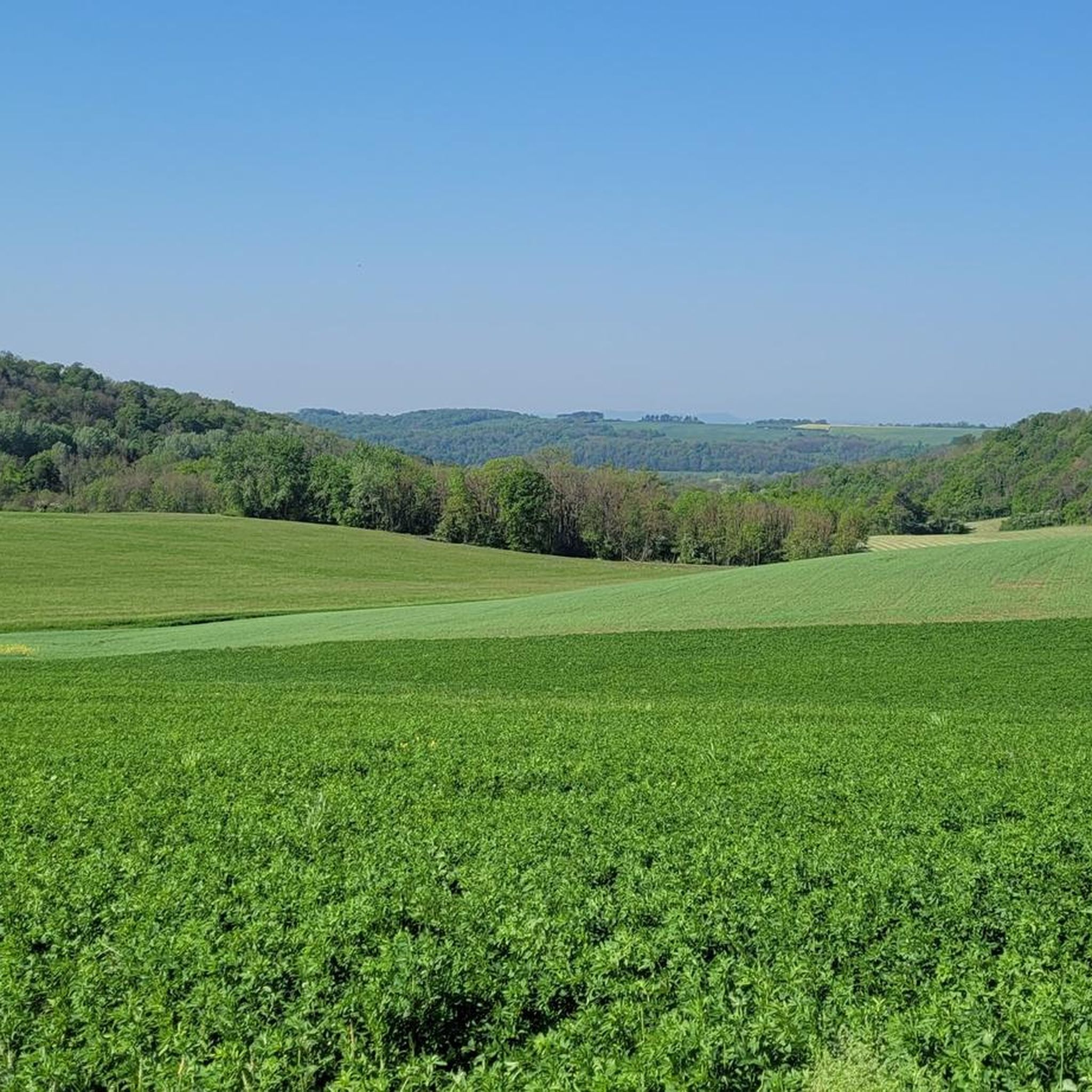
Hiking around Xermaménil offers diverse landscapes within the Meurthe-et-Moselle department of France. The region features a blend of plains and forests, characteristic of the broader Lorraine Regional Natural Park. This area is known for its varied ecosystems, including limestone grasslands, wooded valleys, salt ponds, wet meadows, and numerous waterways. Hikers can expect to traverse wide forest paths, trails through fields, and some narrower routes.
Best hiking trails around Xermaménil
- The most popular hiking route is Hiking loop from Moncel-lès-Lunéville,…
Last updated: July 5, 2026
3.7
(3)
14
hikers
10.5km
02:41
30m
30m
Moderate hike. Good fitness required. Easily-accessible paths. Suitable for all skill levels.
11
hikers
11.1km
02:54
90m
90m
Moderate hike. Good fitness required. Easily-accessible paths. Suitable for all skill levels.

Sign up for free
4.0
(1)
7
hikers
12.4km
03:16
110m
110m
Moderate hike. Good fitness required. Easily-accessible paths. Suitable for all skill levels.
3.0
(2)
2
hikers
9.56km
02:34
110m
110m
Moderate hike. Good fitness required. Easily-accessible paths. Suitable for all skill levels.
2
hikers
4.36km
01:09
40m
40m
Easy hike. Great for any fitness level. Easily-accessible paths. Suitable for all skill levels.
Get access to more routes and recommendations from other explorers.
Sign up for free
Already have an account?
Our route recommendations are based on thousands of hikes, rides, and runs completed by other people on komoot.
Start today with a free account
Your next adventure awaits.
Login or Signup




Tips from the Community

This beautiful forest constitutes more than half of the village of Vitrimont. It's a great place to walk around if you're looking for peace and solitude.
3
0
This castle is now a 4-star luxury hotel. A feast for the eyes during your visit or perhaps you will stop?
4
1

View of the pond from the dike.
2
0
Frequently Asked Questions
How many hiking trails are available around Xermaménil?
There are over 100 hiking routes around Xermaménil, offering a wide variety of experiences. These include paths through plains, dense forests, and areas dotted with numerous ponds and waterways.
Are there easy hiking trails suitable for beginners in Xermaménil?
Yes, Xermaménil offers plenty of options for beginners. Nearly half of the available routes, around 47 trails, are rated as easy, making them perfect for those new to hiking or looking for a relaxed walk.
What kind of landscapes can I expect to see while hiking around Xermaménil?
The region around Xermaménil is characterized by a diverse blend of plains and forests, typical of the broader Lorraine Regional Natural Park. You'll encounter varied ecosystems including limestone grasslands, wooded valleys, salt ponds, and wet meadows. Many trails traverse wide forest paths and open fields, with some narrower routes also available.
Are there any circular walks available in Xermaménil?
Yes, many of the trails around Xermaménil are circular, allowing you to start and end your hike in the same location. For example, the 36th RIC Monument loop from Fraimbois is a popular moderate circular route that combines both plain and forest environments.
What are some interesting landmarks or attractions I can see near the hiking trails?
While hiking, you can explore several notable attractions. Consider visiting Lunéville Castle, or enjoy panoramic views from the Panoramic View from Léomont Hill. The Bosquets Park also offers a pleasant stop. Historically, the region features sites like the ruins of the 15th-century Château de Qui-qu'en-grogne along the Mortagne river.
Is Xermaménil a good destination for family-friendly hikes?
Absolutely. The Lorraine Regional Natural Park, which encompasses Xermaménil, boasts over 500 kilometers of groomed trails, many of which are suitable for families. These paths offer varying durations and difficulty levels, ensuring there's something for everyone, from short, easy strolls to longer adventures.
What do other hikers enjoy most about hiking in Xermaménil?
The hiking routes in Xermaménil are highly rated by the komoot community, with an average score of 4.3 stars from over 100 reviews. Hikers often praise the diverse terrain, from peaceful forest paths to open fields, and the well-maintained trails that make exploring the region enjoyable.
Are there any trails that follow rivers or waterways?
Yes, the region is known for its numerous ponds and waterways. The 'Pays des étangs' (country of ponds) is a wooded area dotted with over a hundred natural and artificial ponds. You can also find pleasant walks like 'La Mortagne au fil de l'eau', which follows the Mortagne river and passes a medieval bridge.
What is the best time of year to go hiking in Xermaménil?
The diverse landscapes of Xermaménil offer enjoyable hiking experiences throughout much of the year. Spring and autumn provide pleasant temperatures and beautiful scenery with blooming flora or vibrant fall colors. Summer is also popular, though some trails might be more exposed to the sun. Winter hiking is possible, especially on well-maintained paths, allowing you to experience the serene, frosted landscapes.
Are there any longer, more challenging routes for experienced hikers?
While many routes are easy to moderate, there are options for more experienced hikers. The Adoménil Castle loop from Lunéville is a longer, moderate trail covering nearly 15 km, leading through varied terrain near cultural sites. The broader Lorraine Regional Natural Park also includes long-distance paths that can be combined for more challenging excursions.
Is public transport available to access hiking trails around Xermaménil?
While Xermaménil itself is a smaller commune, the broader Meurthe-et-Moselle department has regional transport options. For specific trailheads, it's advisable to check local bus schedules or consider driving, as many trails are more easily accessible by car, especially those starting in surrounding villages.
Where can I find parking for hiking trails in Xermaménil?
Many trailheads in and around Xermaménil, particularly in the nearby towns and villages that serve as starting points for popular routes, offer designated parking areas. It's common to find parking available near churches, town halls, or specific points of interest that mark the beginning of a hike.
Most popular routes around Xermaménil
Most popular attractions around Xermaménil

Get inspired with the komoot mobile app


Explore more
Browse the best Hikes in other regions.
