The best walks and hikes around Dombasle-Sur-Meurthe
4.3
(131)
828
hikers
101
hikes
Hiking around Dombasle-Sur-Meurthe offers a network of trails through the gently rolling landscape of the Meurthe river valley. The region is characterized by a mix of agricultural fields, riverside paths, and small village settings, providing varied scenery for outdoor activities. Many of the easy hiking trails Dombasle-Sur-Meurthe are circular walks, making them convenient for exploration.
Best hiking trails around Dombasle-Sur-Meurthe
- The most popular hiking route is Crévic loop from Dombasle-sur-Meurthe, a 7.0 miles (11.3 km) trail that takes 3…
Last updated: July 5, 2026
4.4
(5)
9
hikers
11.3km
03:03
150m
160m
Moderate hike. Good fitness required. Easily-accessible paths. Suitable for all skill levels.
4.7
(3)
8
hikers
Moderate hike. Good fitness required. Easily-accessible paths. Suitable for all skill levels.

Sign up for free
8
hikers
5.30km
01:21
20m
20m
Easy hike. Great for any fitness level. Easily-accessible paths. Suitable for all skill levels.
5.0
(1)
8
hikers
12.3km
03:07
30m
30m
Moderate hike. Good fitness required. Easily-accessible paths. Suitable for all skill levels.
5
hikers
Easy hike. Great for any fitness level. Easily-accessible paths. Suitable for all skill levels.
Get access to more routes and recommendations from other explorers.
Sign up for free
Already have an account?
Our route recommendations are based on thousands of hikes, rides, and runs completed by other people on komoot.
Start today with a free account
Your next adventure awaits.
Login or Signup



Tips from the Community

Beautiful place with shade
0
0

a spacious terrain - a beautiful picnic area with shady trees.
0
0

This charming, sparsely populated town does not lack charm. Crossed by two rivers, the Marne-Rhine canal and the Sânon, it offers lovely views thanks to its remarkable bridges. Also note the beautiful Saint-Denis church.
3
0

Here at the church there is a memorial for a knight of the Legion of Honour, and - what we only found out the next morning - a small bakery, which also opens on Sundays. Very helpful when traveling by boat.
3
0

Saint-Gérard is a church from 1740 with a beautiful forecourt, which offers the opportunity to rest. There are benches in front of the church which serve as seating and through the trees also one or the other shady spots ...
4
0
Frequently Asked Questions
How many hiking trails are available in Dombasle-Sur-Meurthe?
There are over 100 hiking trails recorded around Dombasle-Sur-Meurthe on komoot, offering a wide variety of options for all skill levels.
Are there easy hiking trails suitable for beginners or families?
Yes, Dombasle-Sur-Meurthe offers 39 easy hiking trails. A great option for a relaxed outing is the Étang du Poncet loop from Dombasle-sur-Meurthe, which is only 1.8 miles (2.9 km) long and takes about 45 minutes to complete.
Can I bring my dog on the hiking trails in Dombasle-Sur-Meurthe?
Generally, dogs are welcome on most hiking trails in the Dombasle-Sur-Meurthe region. However, it's always recommended to keep them on a leash, especially when passing through agricultural areas or near livestock, and to respect local signage regarding pet access.
What kind of scenery can I expect on hikes near Dombasle-Sur-Meurthe?
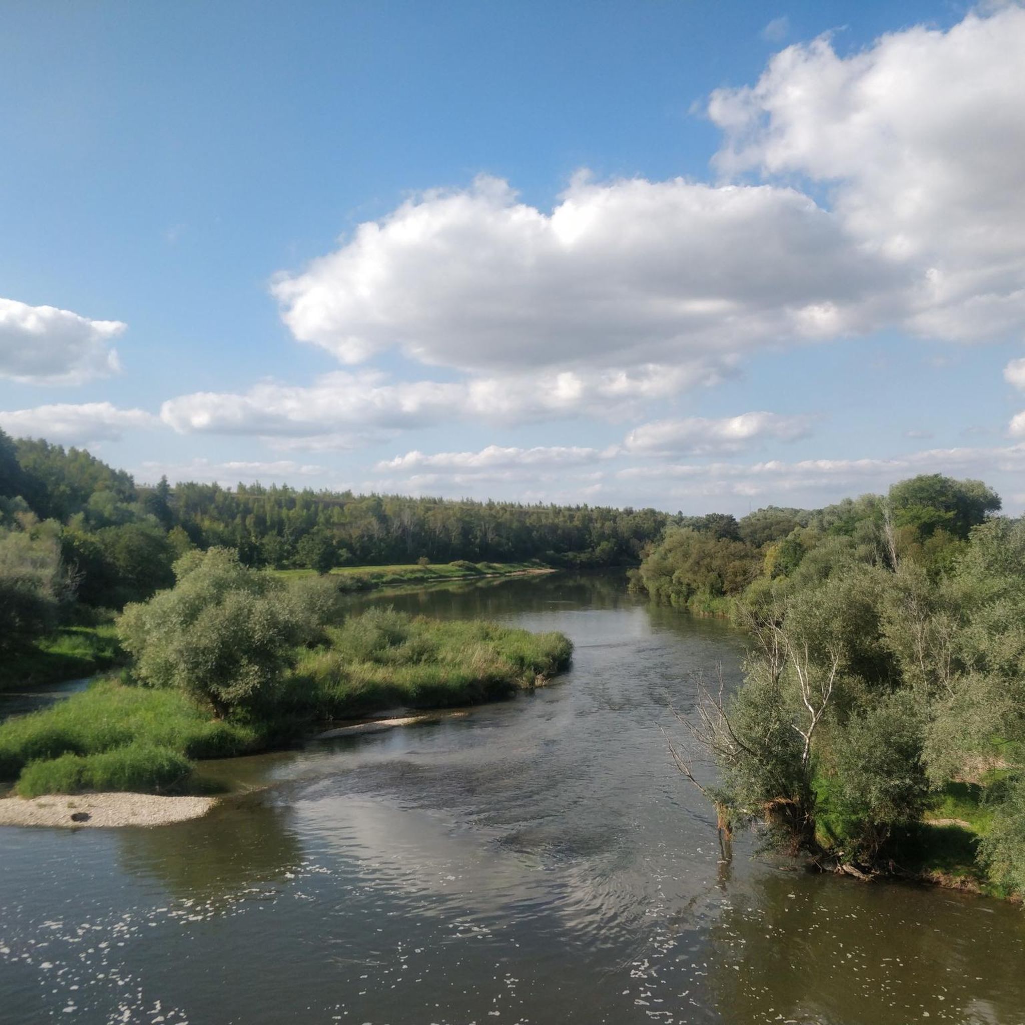
The region is characterized by the gently rolling landscape of the Meurthe river valley. You can expect a mix of agricultural fields, tranquil riverside paths, and charming small village settings, providing varied and pleasant scenery.
Are there any circular walks available in Dombasle-Sur-Meurthe?
Yes, many of the hiking routes in Dombasle-Sur-Meurthe are circular walks, making them convenient for exploration. An example is the Saint-Gérard Church – Village church and market square loop from Dombasle-sur-Meurthe, an easy 3.9-mile (6.2 km) route.
What interesting landmarks or attractions can I see near the hiking trails?
While hiking, you might encounter various points of interest. Notable attractions in the wider area include the historic Lunéville Castle and the scenic Marne–Rhine Canal. Some routes also pass by local churches and village squares.
What do other hikers say about the trails in Dombasle-Sur-Meurthe?
The trails in Dombasle-Sur-Meurthe are highly rated by the komoot community, with an average score of 4.3 stars from over 100 reviews. Hikers often praise the well-maintained paths and the peaceful, varied landscapes.
What are the typical distances and durations for hikes in this area?
Hikes in Dombasle-Sur-Meurthe vary in length and duration. You can find shorter, easy strolls like the 1.8-mile (2.9 km) Étang du Poncet loop, or more moderate excursions such as the Varangéville footbridge loop from Varangéville-Saint-Nicolas, which is 9.5 miles (15.4 km) and takes around 4 hours.
Is there public transport access to the trailheads in Dombasle-Sur-Meurthe?
Dombasle-Sur-Meurthe is served by local public transport, including train services that connect to larger cities. Many trailheads are accessible from the town center, making it possible to reach them without a car. It's advisable to check local bus or train schedules for specific routes.
Where can I park when hiking in Dombasle-Sur-Meurthe?
Parking is generally available in and around the town center of Dombasle-Sur-Meurthe, as well as in the smaller villages that serve as starting points for some trails. Look for designated parking areas near public spaces or trail access points.
What is the best time of year to hike in Dombasle-Sur-Meurthe?
The spring, summer, and early autumn months (April to October) are generally the most pleasant for hiking in Dombasle-Sur-Meurthe, with mild temperatures and lush scenery. Spring brings blooming wildflowers, while autumn offers beautiful foliage.
Are there any places to eat or drink near the hiking routes?
Yes, as many routes pass through or near small villages, you'll often find local bakeries, cafes, or restaurants where you can stop for refreshments. Dombasle-Sur-Meurthe itself offers several options, such as L'Atelier des Saveurs, for a post-hike meal or snack.
Most popular routes around Dombasle-Sur-Meurthe
Most popular attractions around Dombasle-Sur-Meurthe

Get inspired with the komoot mobile app


Explore more
Browse the best Hikes in other regions.
