The best cycling routes around Bourg-Madame
4.4
(134)
6,869
riders
16
rides
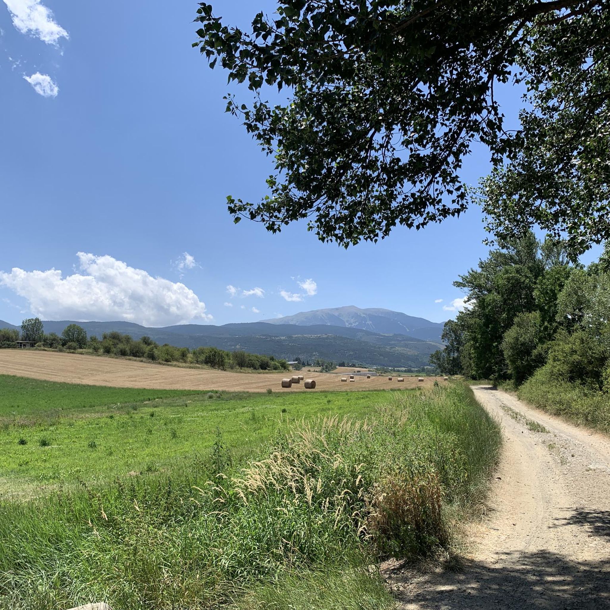
Touring cycling around Bourg-Madame is characterized by its location within the Pyrenees mountains and the expansive Cerdanya Valley. The region features diverse terrain, ranging from flat valley routes to challenging mountain passes, with elevations contributing to a cooler climate. Natural features like the Segre River and Estany de Puigcerdà are often integrated into cycling routes, providing varied landscapes for riders.
Best touring cycling routes around Bourg-Madame
- The most popular touring cycling route is Estany de Puigcerdà – Soler Bridge (Segre…
Last updated: October 2, 2026
5.0
(1)
73
riders
35.5km
02:17
390m
390m
Moderate bike ride. Good fitness required. Mostly paved surfaces. Suitable for all skill levels.
3.0
(1)
54
riders
Hard bike ride. Very good fitness required. Mostly paved surfaces. Suitable for all skill levels.

47
riders
47.6km
04:39
1,250m
1,250m
Hard bike ride. Very good fitness required. You may need to push your bike for some segments of this route.
4.0
(1)
48
riders
Hard bike ride. Very good fitness required. Mostly paved surfaces. Suitable for all skill levels.
33
riders
29.7km
01:59
390m
390m
Moderate bike ride. Good fitness required. Mostly paved surfaces. Suitable for all skill levels.
Get access to more routes and recommendations from other explorers.
Already have an account?
Our route recommendations are based on thousands of hikes, rides, and runs completed by other people on komoot.
Start today with a free account
Your next adventure awaits.

Other adventures around Bourg-Madame

Tips from the Community

A beautiful Spanish exclave that is worth a visit.
1
0


This approximately 200m long cycle path is a real cycling highlight :-))
0
0

It is a beautiful chapel next to the town of Bolvir, which in turn is next to one of the best hotels in Spanish Cerdanya. This chapel marks the beginning of one of the 2 variants (the hardest, along a narrow but in perfect condition road) to reach Guils, and later to the Guils - Fontanera cross-country ski resort.
1
0

From here to the Col du Pal it is 1,000 meters in altitude. The pros have also been here, as the writing on the road proves.
0
0
Closed to cars. Cyclists can carry their bikes over the pile of rubble. What was that again about open borders?
0
0

Llívia is a municipality located in the Cerdanya region. Geographically it is located in the French state, as a consequence of the Treaty of the Pyrenees of 1659. Located at 1223 meters above sea level, it is crossed by the Segre River. It is the oldest human group in Cerdanya, dating back to the end of the Bronze Age. It was colonized by the Romans at the end of the 1st century BC and due to its particular geographical location, it is right at the most comfortable pass in the Pyrenees, it has had an uninterrupted human presence throughout history, seeing the Visigoth domination pass, Muslim and again Christian.
2
0

Rest point and water supply (fountain) at the Remei church, just after a tough ramp to start the ascent to Guils.
0
1
Frequently Asked Questions
How many touring cycling routes are available around Bourg-Madame?
There are over 20 touring cycling routes around Bourg-Madame, catering to various skill levels. These routes are highly rated by the komoot community, with an average score of 3.8 stars from more than 10 reviews.
What kind of terrain can I expect on touring cycling routes in Bourg-Madame?
The region offers diverse terrain, from gentle, flat routes within the expansive Cerdanya Valley to challenging ascents in the surrounding Pyrenees mountains. You'll find routes with significant elevation gains, as well as easier paths that follow natural features like the Segre River.
Are there any easy touring cycling routes suitable for beginners or families?
Yes, Bourg-Madame offers several easy routes. The Cerdanya Valley provides many gentle, flat options. For example, the "Ruta dels Molins" near Puigcerdà is known as an easy and beautiful route for family cycling tourism. You can also find 6 easy routes listed in the komoot guide for the area.
What natural features or landmarks can I see along the touring cycling routes?
Many routes integrate natural aquatic features such as Estany de Puigcerdà, Lake Calvet, and the Segre River. You might also encounter demanding mountain passes like the Collada de Toses or Creueta Pass. For those interested in historical sites, the Ruins of Llívia Castle are also nearby.
Are there any challenging touring cycling routes for experienced riders?
Absolutely. For experienced cyclists seeking a challenge, Bourg-Madame offers routes with substantial elevation gains. An example is the difficult Estany de Puigcerdà – Cabanella Refuge (1,813 m) loop from Bourg-Madame, which covers nearly 30 miles and includes over 1200 meters of ascent. There are 6 difficult routes in total.
What is the best time of year to go touring cycling in Bourg-Madame?
The Cerdanya Valley's dry climate and pleasant temperatures make it ideal for cycling for most of the year. The region's elevation contributes to a cooler climate, making it an attractive destination even during warmer months. Spring and autumn generally offer the most comfortable conditions.
Are there circular touring cycling routes available?
Yes, many of the touring cycling routes around Bourg-Madame are designed as loops. For instance, the popular Estany de Puigcerdà – Soler Bridge (Segre River) loop from Bourg-Madame is a moderate 22.1-mile circular trail.
Can I access touring cycling routes using public transport?
Bourg-Madame's strategic location offers accessibility via public transport. The Latour de Carol - Enveitg international station provides access to the region, which can be a starting point for various cycling routes.
What do other touring cyclists enjoy most about cycling in Bourg-Madame?
The komoot community highly rates the touring cycling experience in Bourg-Madame, with an average score of 3.8 stars. Cyclists often praise the diverse landscapes, the integration of natural features like the Segre River and Estany de Puigcerdà into routes, and the variety of options for different ability levels.
Are there any routes that pass through charming villages or cultural sites?
Yes, cycling routes are often designed to pass through charming villages and alongside historical monuments, allowing riders to experience the rich cultural heritage. For example, the Cami de Bolvir to Puigcerda – Sant Serni de Meranges Church loop from Bourg-Madame leads through varied terrain and past cultural points of interest.
Are there any routes that cross into Spain, given Bourg-Madame's border location?
Bourg-Madame's location on the border with Spain facilitates easy crossings into the Spanish Cerdanya, expanding the variety of routes and experiences. This allows for international cycling adventures, such as exploring the Spanish enclave of Llívia.
Most popular routes around Bourg-Madame
Most popular attractions around Bourg-Madame

Get inspired with the komoot mobile app


Explore more
Browse the best Cycling routes in other regions.
