The best running trails around Campo (Vallemaggia)
3.9
(7)
172
runners
4
runs
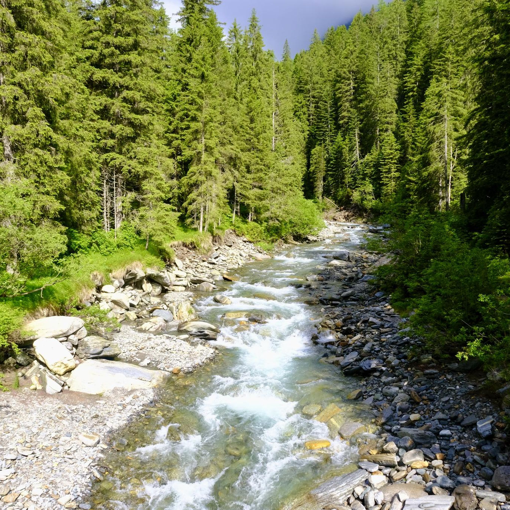
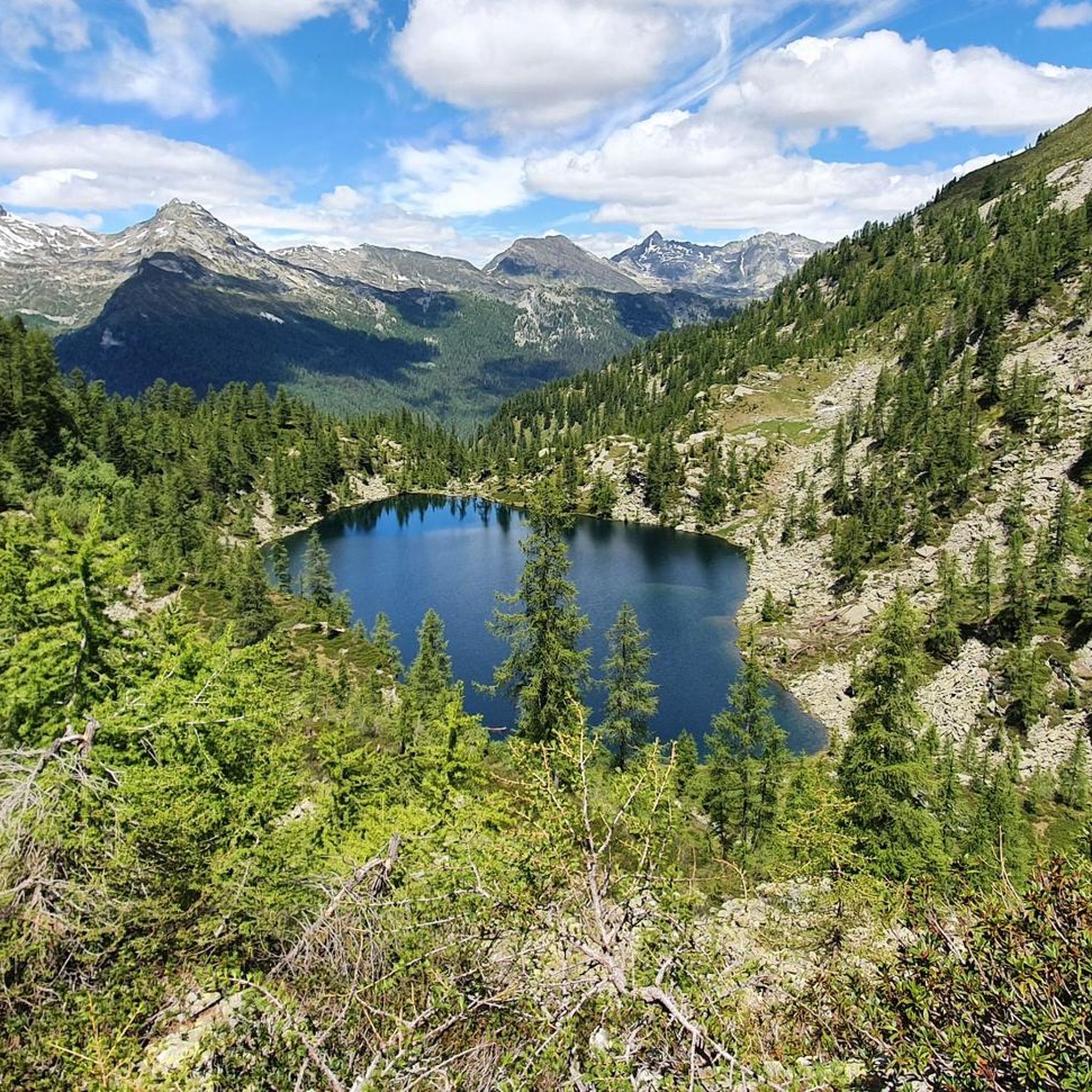
Jogging around Campo (Vallemaggia) offers diverse terrain, from the valley floor alongside the Maggia River to higher alpine environments. The region features a significant height difference, with routes ranging from lower altitudes with lush vegetation to trails in more mountainous areas. Joggers can explore dense woodlands, discover waterfalls, and run past crystal-clear mountain lakes. This varied topography provides a range of running experiences for different fitness levels.
Best jogging routes around Campo (Vallemaggia)
- The most popular jogging route is Cascata…
Last updated: October 9, 2026
4.7
(3)
44
runners
10.3km
01:07
110m
110m
Moderate run. Good fitness required. Mostly paved surfaces. Suitable for all skill levels.
3.5
(2)
26
runners
Moderate run. Good fitness required. Mostly paved surfaces. Suitable for all skill levels.

3.5
(2)
23
runners
6.54km
00:53
210m
210m
Moderate run. Good fitness required. Mostly paved surfaces. Suitable for all skill levels.
17
runners
18.2km
02:08
250m
250m
Hard run. Very good fitness required. Mostly paved surfaces. Suitable for all skill levels.
20
runners
10.9km
01:15
230m
230m
Moderate run. Good fitness required. Mostly paved surfaces. Suitable for all skill levels.
Our route recommendations are based on thousands of hikes, rides, and runs completed by other people on komoot.
Start today with a free account
Your next adventure awaits.

Other adventures around Campo (Vallemaggia)

Tips from the Community

You have the feeling of floating on foot over the Maggia and its floodplain landscape.
0
0

At 380 meters, the Someo Pass is the longest suspension bridge in Ticino. It crosses the very wide Maggia Riverbed and the floodplain at a height of just a few meters. Crossing with dogs is no problem, provided they are already familiar with gratings.
0
0

You can hear the goats' bells in the background, and you can find a wonderfully quiet bathing spot to relax, read, and swim, not so crowded, but easily accessible.
0
0

Interesting bridge construction. Great view of the Maggia and the mountains. Despite my fear of heights, I had no problem here.
0
0

Visually attractive bridge over the Maggia
0
0
This bridge is an experience. The view of the Maggia and the mountains is a dream. There are several places below where you can get to the river.
0
1

There is a feeling of abrupt detachment when we enter what seems to be the mysterious door to the very heart of the mountain: almost suddenly we pass from a gentle, sunny and verdant landscape to a space of shadow where rare rays of sun struggle to penetrate, grazing the walls like blades of light, we pass from the heat to the cool-humid where only mosses and lichens manage to thrive and develop. We walk easily on the flat and dry bottom, created by the deposits of the streams, large irregularly rounded cavities alternate with narrow passages and above our heads dizzying walls seem at times to almost join together leaving only narrow openings towards the sky. Some metal ladders make the climb easier.
2
0
In Maiesso (535 m) you can admire, along the course of the Toce river, the so-called 'giants' potholes': the rocky banks hit by the swirling subglacial current, have been sculpted as if they were soft clay, giving rise to semicircular, sinuous, smooth and enveloping shapes, splendid inlets where the current relaxes and the torrent widens into sparkling pools of water that invite you to take a dive and a 'vivifying' immersion. Here you can also observe the "zero unit", the oldest formation in our Alps that emerges only here in the Antigorio valley.
1
0
Frequently Asked Questions
What types of running routes can I find in Campo (Vallemaggia)?
Campo (Vallemaggia) offers a diverse range of running experiences, from moderate valley runs alongside the Maggia River to challenging mountain trails with significant elevation gain. You'll find routes that traverse dense woodlands, pass by waterfalls, and lead to crystal-clear mountain lakes, catering to various fitness levels.
Are there any easy or moderate running routes in Campo (Vallemaggia)?
While many routes in the region are challenging, there is a notable moderate option: the Suspension bridge over the Maggia – Giumaglio Bridge loop from Someo. This 6.5 km trail follows the valley floor alongside the Maggia River and can typically be completed in under an hour, offering a less strenuous experience.
What natural features or landmarks can I expect to see while running in Campo (Vallemaggia)?
The region is rich in natural beauty. You can expect to see the majestic Maggia River, numerous waterfalls like the famous Foroglio village and waterfall, and unique geological formations such as the Giant's Kettles of the Toce. The landscape also features dense woodlands, lush meadows, and stunning alpine vistas, especially on higher elevation routes.
What do other runners say about the trails in Campo (Vallemaggia)?
The running routes in Campo (Vallemaggia) are highly regarded by the komoot community, with an average rating of 3.8 stars from over 6 reviews. Runners often praise the varied terrain and the stunning natural scenery, from riverside paths to challenging mountain ascents.
Are there any long-distance running routes for experienced runners?
Yes, for experienced runners seeking a challenge, Campo (Vallemaggia) offers several demanding routes. The Cascata del Toce – Passo di Nefelgiú loop from Ponte / Zum Schtäg is a difficult 23.1 km trail with significant elevation gain, taking nearly 4 hours to complete. Another option is the Alzasca Hut – Lago di Sascòla loop from Cevio, a 22.2 km route with substantial climbing.
Can I find routes that follow the Maggia River?
Absolutely. The Maggia River is a defining feature of the valley, and several routes run alongside it, offering picturesque views and the soothing sound of flowing water. The Maggia Riverside Path – Moghegno Suspension Bridge loop from Someo is an excellent example, providing a beautiful 18.2 km run along the river.
What is the best time of year to go running in Campo (Vallemaggia)?
The diverse topography of Vallemaggia means conditions vary greatly. Lower altitudes, with their nearly Mediterranean climate, are pleasant for running for much of the year. However, for higher alpine routes, it's generally best to visit during the warmer months (late spring to early autumn) when trails are clear of snow and weather conditions are more stable.
Are there any circular running routes available?
Yes, many of the featured routes in Campo (Vallemaggia) are designed as loops, allowing you to start and finish at the same point. Examples include the Rifugio Eugenio Margaroli loop from San Michele / Tuffald and the Suspension bridge over the Maggia – Giumaglio Bridge loop from Someo, offering convenient options for your run.
What kind of terrain should I expect on the running trails?
The terrain in Campo (Vallemaggia) is highly varied. You'll encounter everything from relatively flat paths along the valley floor to steep, rocky ascents and descents in the alpine areas. Trails often pass through dense woodlands, open meadows, and alongside rivers, so be prepared for a mix of surfaces and elevation changes.
How many dedicated running routes are listed for Campo (Vallemaggia) on komoot?
Komoot currently lists 5 dedicated running routes around Campo (Vallemaggia). These routes offer a range of difficulties and lengths, ensuring options for different preferences and fitness levels.
Are there any specific attractions near the running routes that are worth visiting?
Beyond the natural beauty, you can explore charming traditional Ticino villages with their characteristic stone houses. The region is also recognized as an international 'Mountaineering Village,' highlighting its authentic traditions and culture, which you can experience while running through or near these settlements.
Most popular attractions around Campo (Vallemaggia)

Get inspired with the komoot mobile app


Explore more
Browse the best Running Trails & Routes in other regions.
