The best running trails around Bosco/Gurin
5.0
(1)
118
runners
3
runs
Jogging around Bosco/Gurin offers routes through an alpine landscape in the upper Maggia Valley, situated at over 1500 meters above sea level. The region features a network of trails ranging from accessible paths to more challenging rocky alpine areas. Runners can experience diverse terrain including larch forests, high pastures, and areas with waterfalls. This environment provides varied options for exploring the natural features of the Swiss Alps.
Best jogging routes around Bosco/Gurin
- The most popular jogging route is Cascata del…
Last updated: October 1, 2026
5.0
(1)
56
runners
10.0km
01:10
170m
170m
Moderate run. Good fitness required. Mostly paved surfaces. Suitable for all skill levels.
16
runners
10.7km
01:52
600m
600m
Hard run. Very good fitness required. Sure-footedness, sturdy shoes and alpine experience required.

13
runners
20.5km
02:42
630m
630m
Hard run. Very good fitness required. Sure-footedness, sturdy shoes and alpine experience required.
17
runners
Moderate run. Good fitness required. Mostly paved surfaces. Suitable for all skill levels.
8
runners
6.30km
00:42
90m
90m
Moderate run. Good fitness required. Mostly paved surfaces. Suitable for all skill levels.
Our route recommendations are based on thousands of hikes, rides, and runs completed by other people on komoot.
Start today with a free account
Your next adventure awaits.

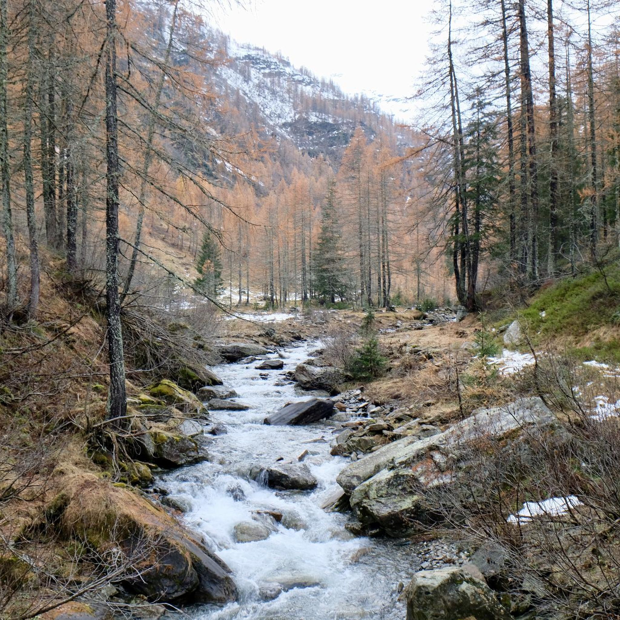
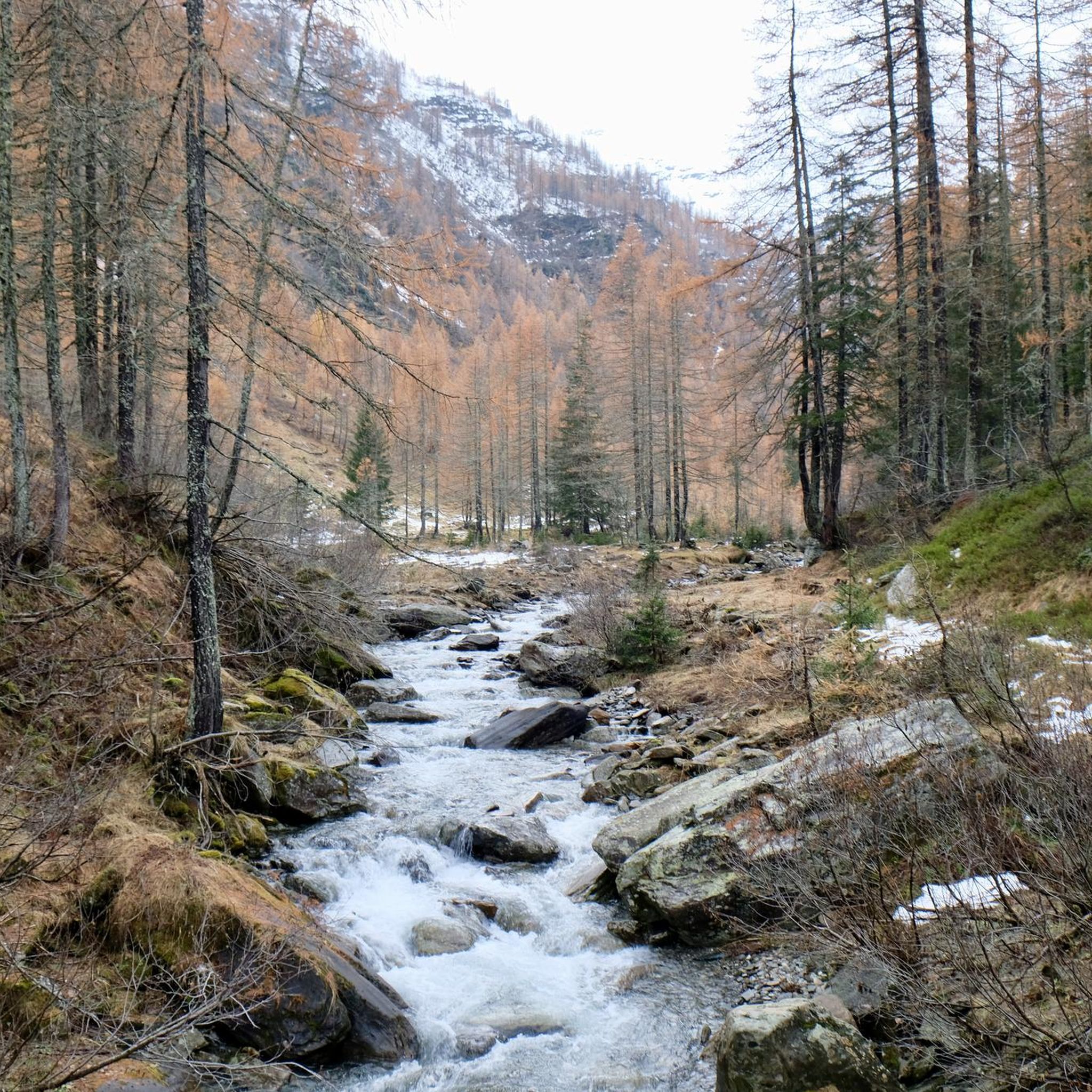
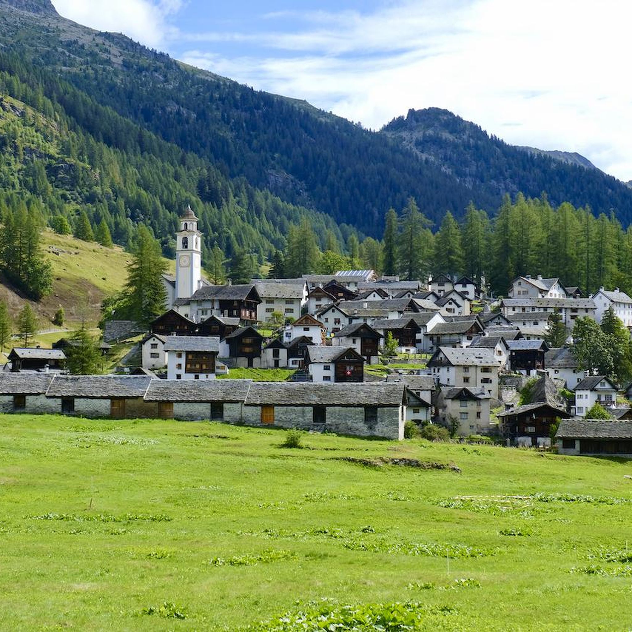
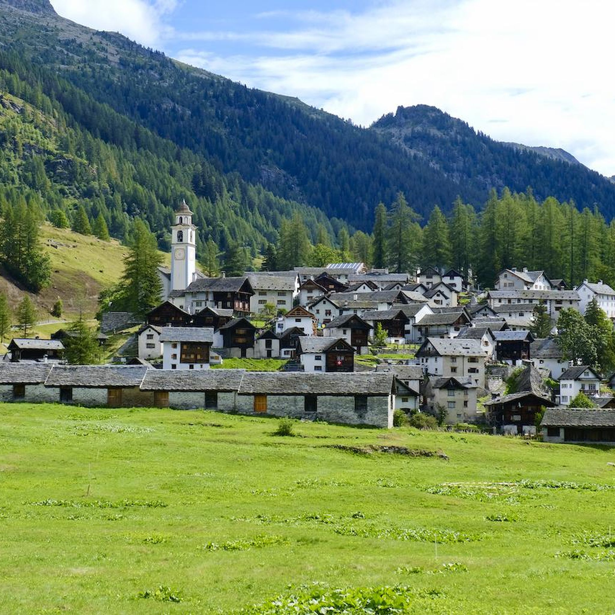
Other adventures around Bosco/Gurin

Tips from the Community

Refuge in Val Formazza at an altitude of 2150m above sea level
0
0

steep path very scenic, in the morning in the shade
0
0

A beautiful old stone bridge. Open to cyclists and pedestrians.
0
0

The bridge is now broken. You can't cross it. August 15, 2025
0
0

the fairytale village 🏘️ of Riale🏔️
1
0
Frequently Asked Questions
How many running routes are available in Bosco/Gurin?
There are several dedicated running routes around Bosco/Gurin, offering a variety of experiences. Komoot currently features 5 distinct routes in the area, ranging from moderate to difficult.
What kind of terrain can I expect on the running trails around Bosco/Gurin?
The running trails in Bosco/Gurin offer diverse alpine terrain. You can expect paths through larch forests, high pastures, and rocky alpine areas. Some routes feature mostly paved surfaces, while others are more demanding, requiring good fitness and sure-footedness.
Are there running routes suitable for beginners or those looking for an easier jog?
While many routes in Bosco/Gurin are challenging, there is at least one moderate option available. The Stone Bridge in Bignasco – Roman Bridge of Maggia loop from Bignasco is a 9.5 km trail that offers a less strenuous experience through varied landscapes.
What makes the running experience in Bosco/Gurin unique?
Bosco/Gurin, as the highest village in Ticino, offers a unique combination of stunning alpine scenery, high-altitude tranquility, and the rich cultural heritage of the Walser people. Runners can enjoy breathtaking panoramic views, diverse natural features, and even explore the village's distinctive architecture and history, such as the Walser Museum.
Are there any running routes that feature waterfalls or other natural monuments?
Yes, the region is known for its natural beauty, including waterfalls. The Toce Waterfall – Riale di Sotto loop from Ponte / Zum Schtäg is a challenging route that allows you to experience the impressive Toce Waterfall. You might also encounter other natural monuments and dramatic landscapes like canyons and mountain passes.
Can I find circular running routes in the Bosco/Gurin area?
Yes, many of the running routes around Bosco/Gurin are designed as loops, allowing you to start and finish in the same location. Examples include the Cascata del Toce – Passo di Nefelgiú loop from Ponte / Zum Schtäg and the Stone Bridge in Bignasco – Roman Bridge of Maggia loop from Bignasco.
Are there family-friendly running paths in Bosco/Gurin?
While many running routes are challenging, the region offers paths suitable for families. The 'Ggurijnar Sentiero' adventure trail, for instance, combines nature discovery with Walser history, making it an engaging option for families, though it might be more of a walk than a run for younger children. For running, consider the moderate Stone Bridge in Bignasco – Roman Bridge of Maggia loop.
What about advanced or challenging running trails for experienced runners?
Bosco/Gurin is an excellent destination for experienced runners seeking a challenge. Many routes are classified as difficult, featuring significant elevation gains and alpine terrain. The Alzasca Hut – Lago di Sascòla loop from Cevio, for example, is a difficult 22.2 km route with substantial elevation changes.
What do other runners enjoy the most about jogging in Bosco/Gurin?
The running routes in Bosco/Gurin are highly rated by the komoot community, with an average score of 5.0 stars. Runners often praise the stunning alpine scenery, the tranquility of the high-altitude environment, and the variety of trails that cater to different fitness levels.
Are there any interesting landmarks or points of interest along the running routes?
Yes, several routes pass by or offer views of notable landmarks. You might encounter the Toce Waterfall, the historic Cevio village center, or the Grossalp Hut and Alpine Pasture. The region also features unique Walser architecture and cultural sites.
Is it possible to access higher running trails using a cable car?
Yes, the Grossalp Cable Car provides access to higher elevations, opening up more extensive hiking and running trails with magnificent views of the Maggia Valley. This can be a great way to reach starting points for high-alpine runs.
Are there opportunities for wild swimming near the running trails?
The region features several natural water bodies. While specific designated wild swimming spots directly adjacent to running trails are not explicitly listed, the presence of mountain lakes like Lago di Bosco, Schwarzsee, and Üssera See, as well as the Maggia Gorge and its waterfalls, suggests potential opportunities for a refreshing dip in natural waters, especially during warmer months.
Most popular attractions around Bosco/Gurin

Get inspired with the komoot mobile app


Explore more
Browse the best Running Trails & Routes in other regions.
