The best running trails around Bosco Gurin
5.0
(1)
118
runners
3
runs
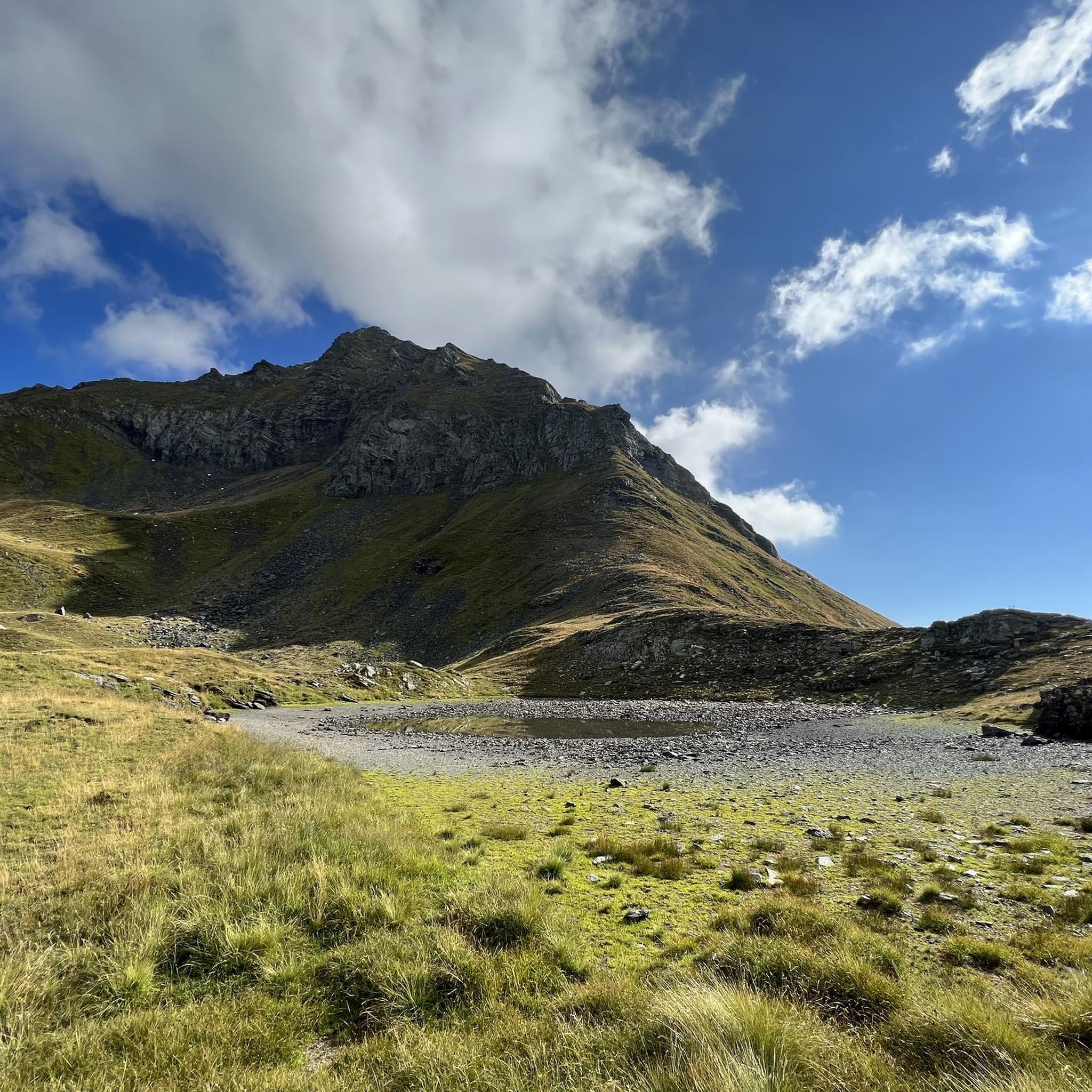
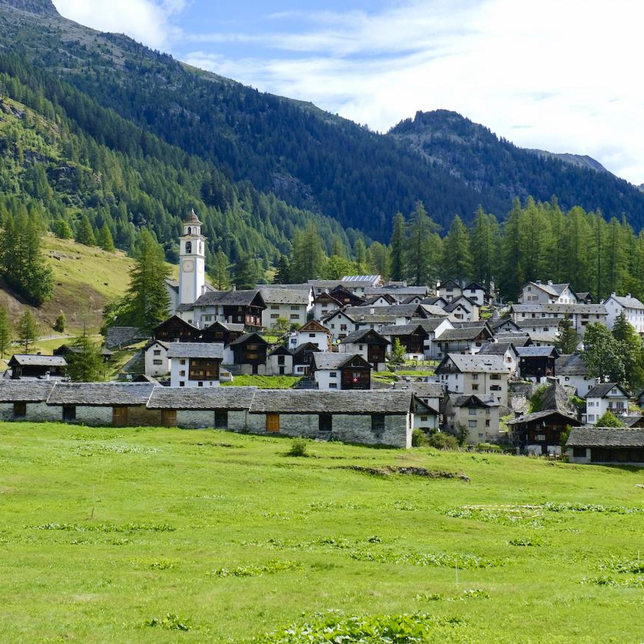
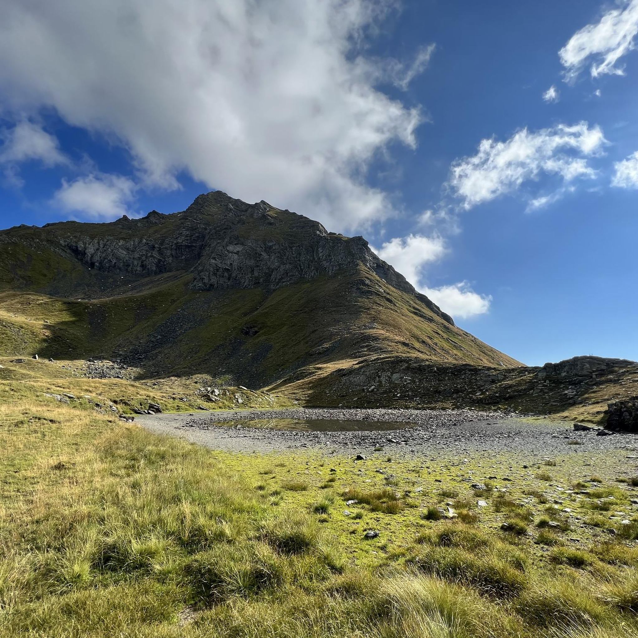
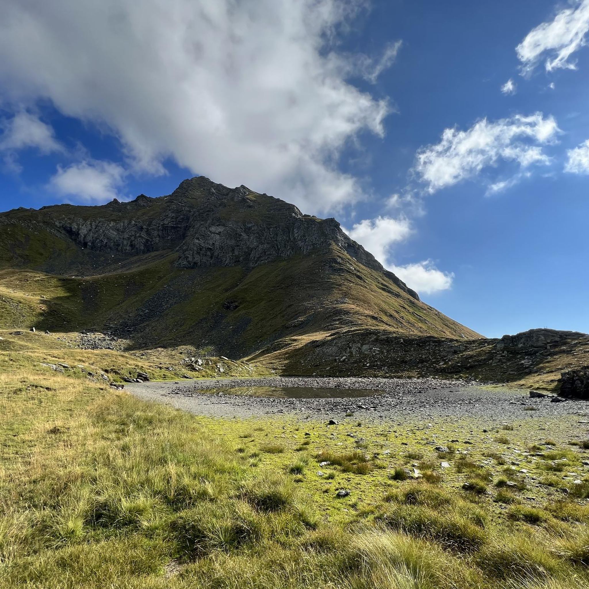
Jogging routes around Bosco Gurin offer access to a serene mountainous environment in the upper Maggia Valley. The region is characterized by its alpine landscapes, including magnificent peaks and diverse forest landscapes with larch, spruce, and alder trees. Joggers can expect varied terrain, from trails leading to glacial lakes like Lago di Bosco to paths with significant elevation gain.
Best jogging routes around Bosco Gurin
- The most popular jogging route is Cascata del Toce – Passo di Nefelgiú loop from…
Last updated: October 1, 2026
5.0
(1)
56
runners
10.0km
01:10
170m
170m
Moderate run. Good fitness required. Mostly paved surfaces. Suitable for all skill levels.
16
runners
10.7km
01:52
600m
600m
Hard run. Very good fitness required. Sure-footedness, sturdy shoes and alpine experience required.

13
runners
20.5km
02:42
630m
630m
Hard run. Very good fitness required. Sure-footedness, sturdy shoes and alpine experience required.
17
runners
Moderate run. Good fitness required. Mostly paved surfaces. Suitable for all skill levels.
8
runners
6.30km
00:42
90m
90m
Moderate run. Good fitness required. Mostly paved surfaces. Suitable for all skill levels.
Our route recommendations are based on thousands of hikes, rides, and runs completed by other people on komoot.
Start today with a free account
Your next adventure awaits.

Other adventures around Bosco Gurin

Tips from the Community

Refuge in Val Formazza at an altitude of 2150m above sea level
0
0

steep path very scenic, in the morning in the shade
0
0

A beautiful old stone bridge. Open to cyclists and pedestrians.
0
0

The bridge is now broken. You can't cross it. August 15, 2025
0
0

the fairytale village 🏘️ of Riale🏔️
1
0
Frequently Asked Questions
How many running routes are available in Bosco Gurin?
Komoot currently lists 5 dedicated running routes around Bosco Gurin. These routes offer a range of experiences, from moderate to difficult, allowing you to explore the stunning alpine landscapes of the region.
Are there any easy or beginner-friendly running routes in Bosco Gurin?
While many routes in Bosco Gurin are rated as difficult due to significant elevation changes, there is at least one moderate option suitable for those looking for a less strenuous run. The Stone Bridge in Bignasco – Roman Bridge of Maggia loop from Bignasco is a 9.5 km path with minimal elevation gain, offering a more accessible experience.
What kind of terrain can I expect on the running trails in Bosco Gurin?
The running routes in Bosco Gurin feature diverse terrain, characteristic of its alpine setting. You can expect paths through enchanting forest landscapes with larch, spruce, alder, and hazelnut trees, as well as trails leading to glacial lakes and offering panoramic mountain views. Many routes involve substantial elevation changes, requiring good fitness.
What are some natural features or landmarks I can see along the running routes?
The region is rich in natural beauty. Along various routes, you might encounter impressive sights like the Toce Waterfall or the picturesque Lago Melo (Schwarzsee). Other notable features include mountain passes such as Scatta Minoia Pass and Guriner Furggu Pass, offering expansive views.
Are there any circular running routes in the Bosco Gurin area?
Yes, several routes in the area are designed as loops, allowing you to start and finish in the same location. For example, the challenging Cascata del Toce – Passo di Nefelgiú loop from Ponte / Zum Schtäg and the Toce Waterfall – Riale di Sotto loop from Ponte / Zum Schtäg are popular circular options for experienced runners.
What do other runners say about the trails in Bosco Gurin?
The running routes in Bosco Gurin are highly rated by the komoot community, with an average score of 5.0 stars. Runners often praise the stunning alpine scenery, the challenging yet rewarding ascents, and the opportunity to explore the tranquil mountainous environment.
Is Bosco Gurin accessible by public transport for runners?
Bosco Gurin is located in the upper Maggia Valley and can be reached by public transport. Buses connect Bosco Gurin to larger towns like Locarno and Cevio, making it possible to access various trailheads without a car. It's advisable to check local bus schedules for planning your trip.
Where can I find parking near the running trails in Bosco Gurin?
As a starting point for many outdoor activities, Bosco Gurin typically offers parking facilities within or near the village. For specific routes, parking might be available at the designated starting points, such as Ponte / Zum Schtäg or San Michele / Tuffald, depending on the trail you choose. It's recommended to check local signage upon arrival.
Are there any family-friendly walking or jogging options in Bosco Gurin?
While many running routes are challenging, the extensive network of hiking and walking trails around Bosco Gurin offers options for families. The village itself has a unique cultural heritage, including the 'Sentiero Walser' themed trail, which is an adventure trail designed for visitors, including families, to discover nature and Walser history.
What is the best time of year to go running in Bosco Gurin?
The best time for running in Bosco Gurin is generally during the warmer months, from late spring to early autumn (May to October), when the alpine trails are free of snow and the weather is most favorable. The region's high elevation means that winter conditions can persist, making some routes inaccessible or requiring specialized gear.
Are there any cafes or places to eat near the running routes in Bosco Gurin?
Bosco Gurin, as the highest village in Ticino, offers some amenities for visitors. You can find cafes and restaurants within the village itself. Additionally, some trails, like those leading to Grossalp, might have mountain restaurants such as the Rossboda Restaurant with panoramic terraces, perfect for a post-run refreshment.
Can I bring my dog on the running trails in Bosco Gurin?
Generally, dogs are welcome on hiking and running trails in Switzerland, but it's always important to keep them under control, especially in alpine areas where livestock or wildlife may be present. Always check local regulations or specific trail signs for any restrictions, and ensure you clean up after your pet.
Most popular attractions around Bosco Gurin

Get inspired with the komoot mobile app


Explore more
Browse the best Running Trails & Routes in other regions.
