The best road cycling routes around Campagna-De-Sault
4.8
(77)
1,210
riders
33
rides
Road cycling around Campagna-De-Sault is characterized by its mountainous terrain within the Pays de Sault, offering significant elevation changes and challenging climbs. The region features a heavily wooded plateau with altitudes ranging from 735 meters to 1,965 meters, encompassing extensive beech and fir forests. Rivers like the Aude and Rebenty carve deep gorges through the landscape, contributing to the area's diverse natural features. This environment provides a demanding yet rewarding experience for road cyclists.
Best road cycling routes around Campagna-De-Sault
…Last updated: August 28, 2026
4.5
(2)
47
riders
59.3km
03:53
1,680m
1,680m
This difficult 36.8-mile (59.3 km) road cycling route, "In the valley of the Ayguette", features 5520 feet (1682 metres) of climbing and tak
4.4
(5)
302
riders
92.1km
05:02
1,890m
1,890m
Hard road ride. Very good fitness required. Mostly well-paved surfaces and easy to ride.

Sign up for free
4.3
(4)
121
riders
62.4km
03:18
1,160m
1,160m
Hard road ride. Very good fitness required. Mostly well-paved surfaces and easy to ride.
5.0
(5)
220
riders
65.4km
04:28
2,250m
2,250m
Hard road ride. Very good fitness required. Mostly well-paved surfaces and easy to ride.
5.0
(1)
75
riders
24.7km
01:55
1,020m
1,020m
Hard road ride. Very good fitness required. Mostly well-paved surfaces and easy to ride.
Get access to more routes and recommendations from other explorers.
Sign up for free
Already have an account?
Our route recommendations are based on thousands of hikes, rides, and runs completed by other people on komoot.
Start today with a free account
Your next adventure awaits.
Login or Signup

Tips from the Community

The descent on the west slope towards Ax-les-Thermes is superb.
0
0

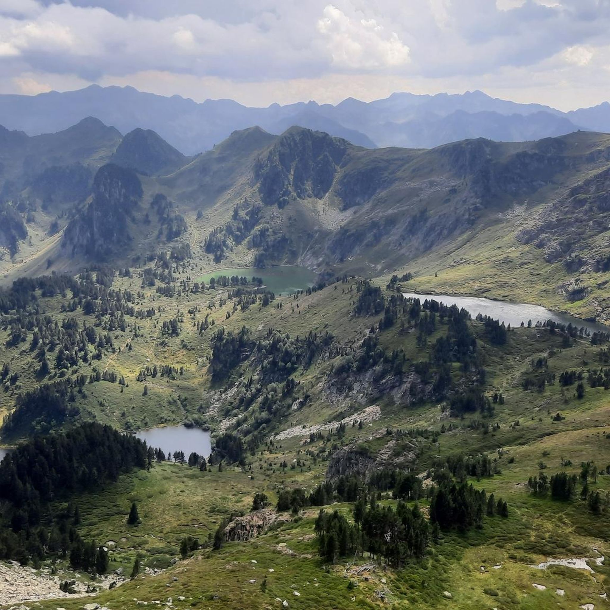
It's an ideal spot for a picnic. It's also an ideal place for groups of cyclists supported by vans, as there's plenty of space here to relax and not disturb anyone. The lake is at an elevated point, so accessing it from La Llagonne or Les Angles requires a steep climb, always at a lower gradient.
0
0
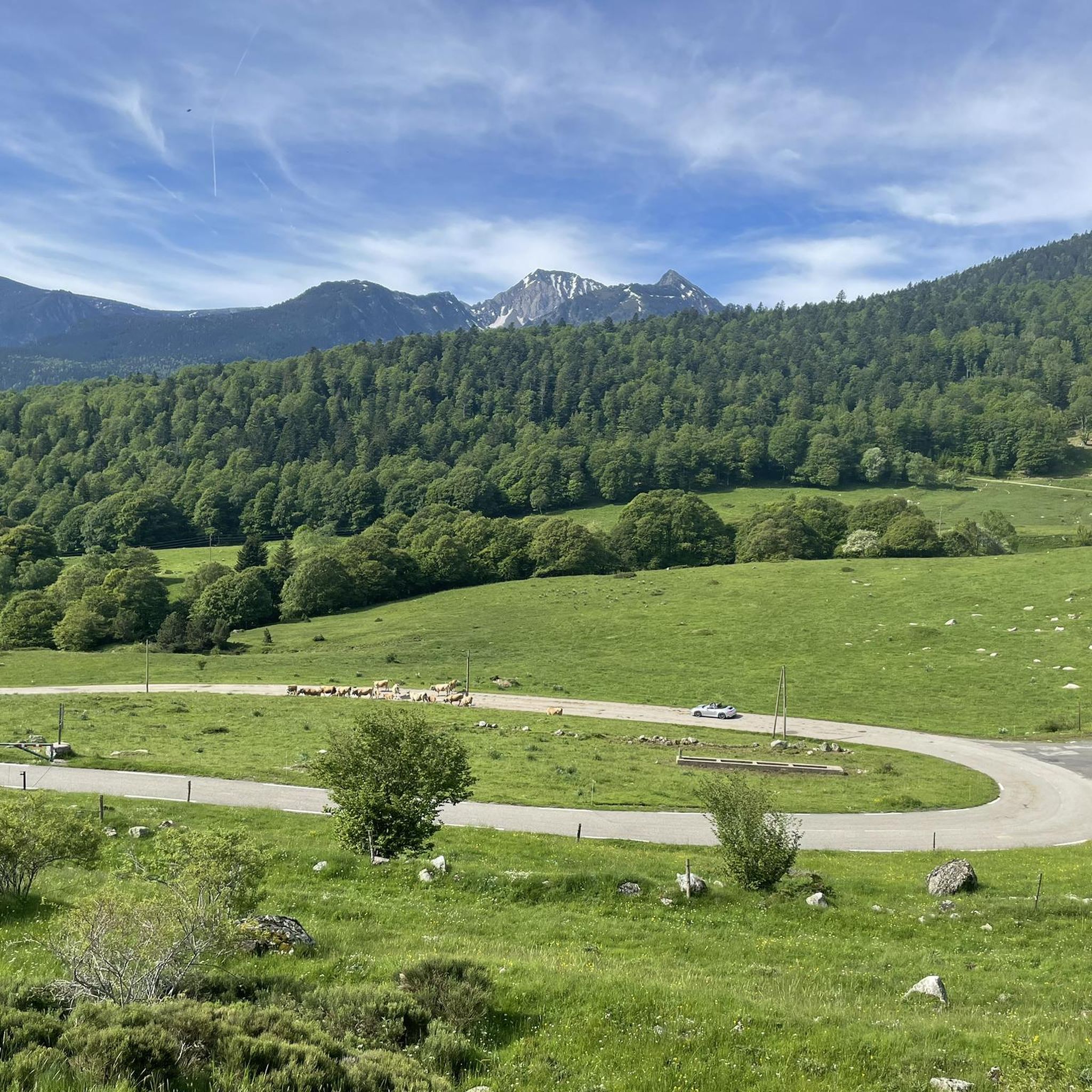
This spot is the same as the parking lot and the building of the Mijanès ski resort. I'll tell you about several interesting points about this place: - During the winter months, when the ski resort is open, there is a bar serving food. I'm mentioning this in case anyone is interested in climbing Port de Pailhères during these months. - This is where the road from Mijanès ends, and it is cleared when there is snow. During the winter months, there is a large barrier that prohibits the passage of cars and motorcycles, but it can be easily crossed by bike. If the barrier is down and you decide to climb by bike, keep in mind that you may encounter sections of the road with real mountains of snow. - From this point on, during the summer months, in addition to enjoying the road and the pass, you will constantly see herds of horses and cows. This is especially notable on sunny days in June and July.
0
0


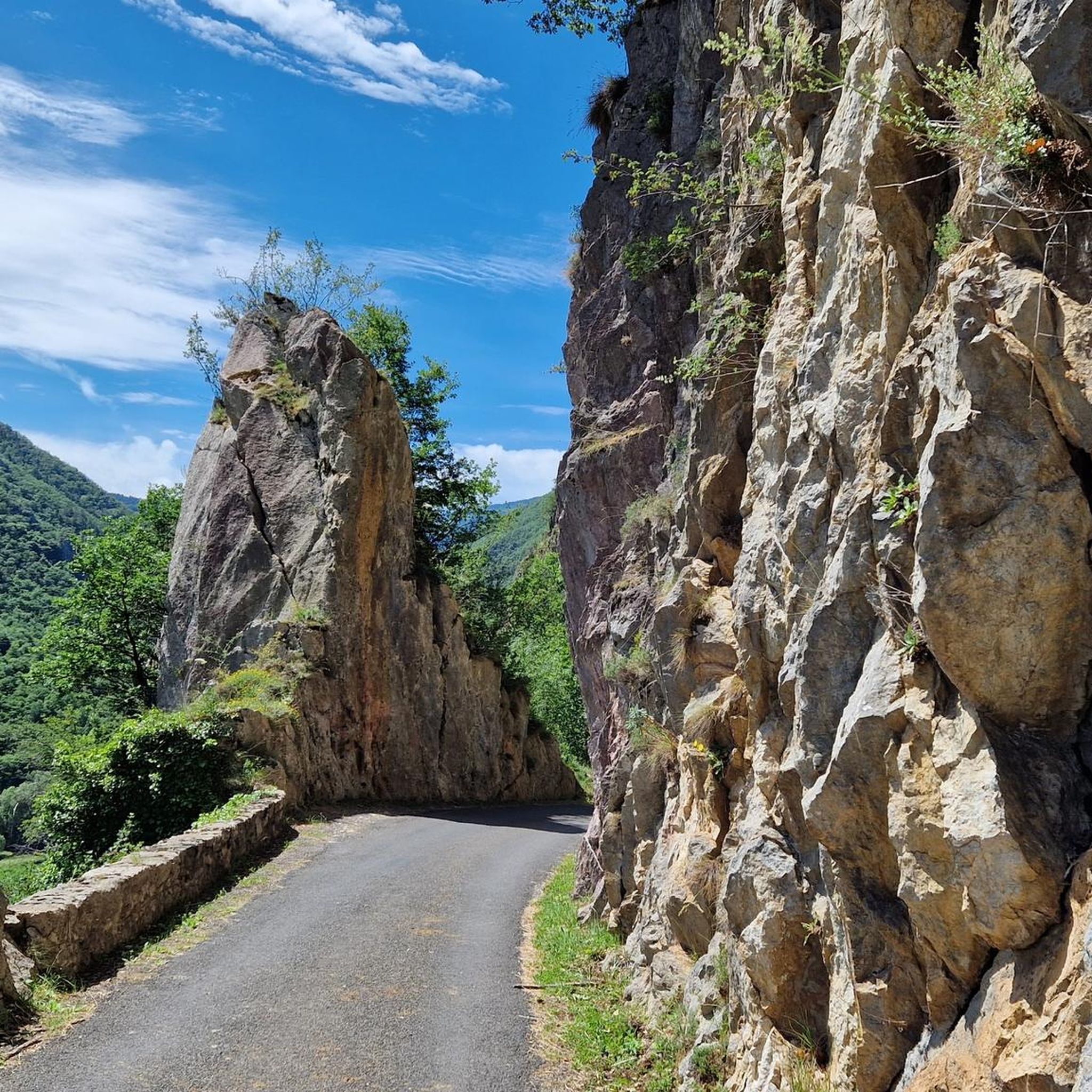
Beautiful rocky outcrops along the Aude
0
0


From Axat, it's a long climb, 18km. It's quite beautiful down in the gorges, then a few kilometers of fairly monotonous woods. Arriving on the plateau, it clears up but it's rural. The impressive view is worth it when you reach the pass. Going down there must be a blast, the tarmac is good, it's quite wide and there's little traffic. I went down via Escouloubre: the tarmac is bad, gravel, but the forest is enchanting! Why not go the other way, then, up via Escouloubre and down via Bousquet / Roquefort etc.?
1
0
The foot, going uphill it must be pretty too but really the descent is super fun!
0
0
Frequently Asked Questions
How many road cycling routes are available in Campagna-De-Sault?
There are over 29 road cycling routes around Campagna-De-Sault, offering a variety of experiences for cyclists. The region is particularly known for its challenging, mountainous terrain.
Are there any easy road cycling routes in Campagna-De-Sault suitable for beginners or families?
The road cycling routes around Campagna-De-Sault are predominantly difficult, with 21 out of 29 routes rated as such, and 8 as moderate. There are no routes specifically classified as easy, meaning the area is best suited for experienced cyclists seeking a demanding experience.
What kind of terrain can I expect on road cycling routes around Campagna-De-Sault?
You can expect a mountainous environment with significant elevation changes. The routes traverse a heavily wooded plateau, with altitudes ranging from 735 to 1,965 meters. You'll encounter extensive beech and fir forests, as well as rivers like the Aude and Rebenty carving deep gorges. The terrain is challenging, featuring demanding climbs and descents on paved surfaces.
What are some of the most challenging climbs for road cyclists in Campagna-De-Sault?
The region is renowned for its demanding mountain passes. The Pailhères Pass is a prominent feature on many routes, known for its substantial elevation gains and challenging gradients. Routes like the Goulours Dam – Pailhères Pass loop from Le Pla include this iconic climb, offering significant challenges and rewarding Pyrenean views.
What scenic views or natural features can I expect to see along the routes?
Road cycling in Campagna-De-Sault offers breathtaking scenery. You'll pass through dense beech forests, high-altitude plateaus, and encounter dramatic gorges like the Gorges de l'Aude and Gorges de la Pierre-Lys. Notable mountain passes such as Pailhères Pass and Pradel Pass provide panoramic views. The area also features serene lakes like Étang de Pailhères and Étang de Rabassoles, adding to the natural beauty.
What is the best time of year for road cycling in Campagna-De-Sault?
The best time for road cycling in Campagna-De-Sault is typically from late spring through early autumn. The high-altitude nature of the Pays de Sault means that some passes may be closed due to snow in winter and early spring. Summer offers pleasant conditions, and between mid-June and early August, you might even experience the fragrant lavender fields that grow at higher altitudes in this region.
Are there circular road cycling routes available in Campagna-De-Sault?
Yes, many of the road cycling routes in the area are designed as loops. Examples include the Tour of Pays de Sault, the Goulours Dam – Pailhères Pass loop from Le Pla, and the Col du Pradel – Pierre Lys Gorge loop from Galinagues, allowing you to start and finish at the same point.
What do other cyclists enjoy most about road cycling in Campagna-De-Sault?
The area is highly rated by the komoot community, with an average score of 4.6 stars from over 65 reviews. Reviewers often praise the challenging climbs, the stunning mountainous scenery, and the rewarding experience of traversing the high-altitude plateaus and dense forests of the Pays de Sault.
Are there any historical points of interest along the road cycling routes?
Campagna-De-Sault is located on the historic "Route Vauban" (Route des Canons), an ancient route imagined in 1679 to connect Limoux to Mont-Louis. While not always marked as specific attractions, cycling along these historic paths adds a unique dimension to your ride, connecting you to the region's past.
Is parking available near the road cycling routes in Campagna-De-Sault?
While specific parking areas for each route are not detailed, Campagna-De-Sault and surrounding villages like Le Pla or Galinagues, which serve as starting points for many routes, typically offer public parking facilities. It's advisable to check local village information for designated parking spots before your ride.
Can I find cafes or places to refuel along the road cycling routes?
Given the mountainous and often remote nature of the Pays de Sault, amenities like cafes and shops can be sparse directly on the routes, especially on longer stretches. It's recommended to plan your route to pass through villages where you can refuel, or carry sufficient water and snacks. Some villages like Mijanès may offer limited services.
Most popular routes around Campagna-De-Sault
Most popular attractions around Campagna-De-Sault

Get inspired with the komoot mobile app


Explore more
Browse the best Road cycling routes in other regions.
