The best mountain hikes around Airolo
5.0
(48)
727
hikers
25
hikes
Mountaineering routes around Airolo are situated in the heart of the Ticino Alps, at the foot of the San Gottardo massif. This region is characterized by impressive mountains, deep valleys like Valle Leventina and Val Bedretto, and numerous alpine lakes. High passes such as Gotthard Pass and Nufenen Pass offer access to diverse terrain, ranging from challenging alpine ascents to high-altitude traverses. The landscape features a mix of rocky peaks, boulder fields, and extensive trail networks.
Best mountaineering routes around…
Last updated: October 9, 2026
4.9
(20)
206
hikers
6.79km
04:00
480m
480m
Hard mountaineering route. Good fitness required. Sure-footedness, sturdy shoes and alpine experience required.
5.0
(6)
90
hikers
13.2km
06:54
1,120m
1,120m
Hard mountaineering route. Very good fitness required. Sure-footedness, sturdy shoes and alpine experience required.

4.9
(7)
103
hikers
8.09km
04:15
670m
660m
Hard mountaineering route. Good fitness required. Sure-footedness, sturdy shoes and alpine experience required.
43
hikers
5.38km
02:20
240m
240m
Hard mountaineering route. Good fitness required. Sure-footedness, sturdy shoes and alpine experience required.
5.0
(4)
33
hikers
11.4km
05:01
660m
650m
Hard mountaineering route. Very good fitness required. Mostly accessible paths. Sure-footedness required.
Get access to more routes and recommendations from other explorers.
Already have an account?
Our route recommendations are based on thousands of hikes, rides, and runs completed by other people on komoot.
Start today with a free account
Your next adventure awaits.
Popular around Airolo
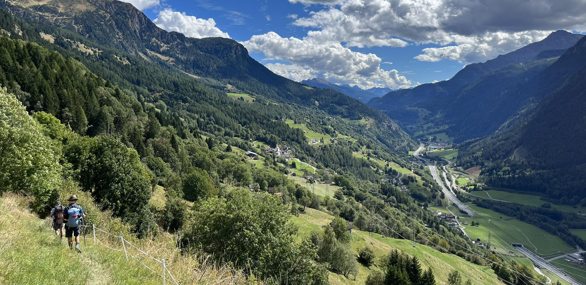
Strada alta – Hiking in the sun terrace of Switzerland
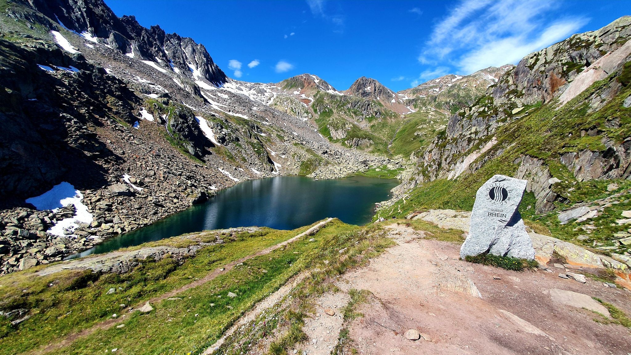
Four Springs Trail — Find flow in Switzerland's Gotthard Massif

Alpine Passes Trail in Switzerland – 34 stages of pure mountain fun

Trans Swiss Trail – Hiking across Switzerland

Via Gottardo – Following historic trails
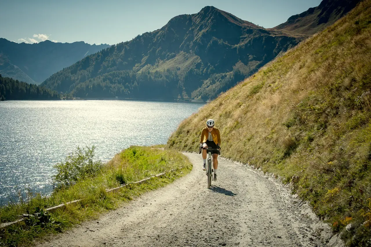
Ticino hut-to-hut: a 3-day alpine gravel escape
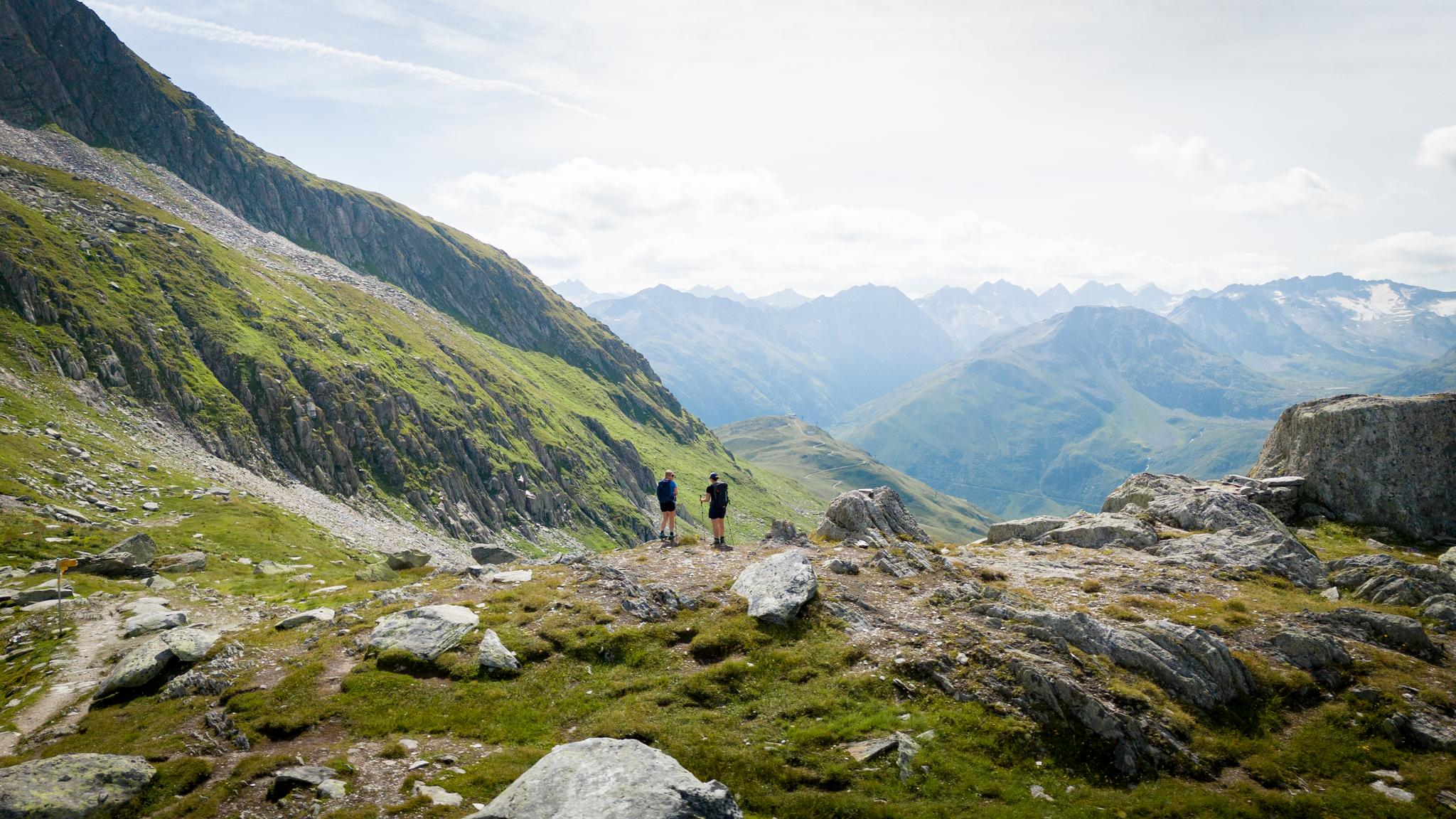
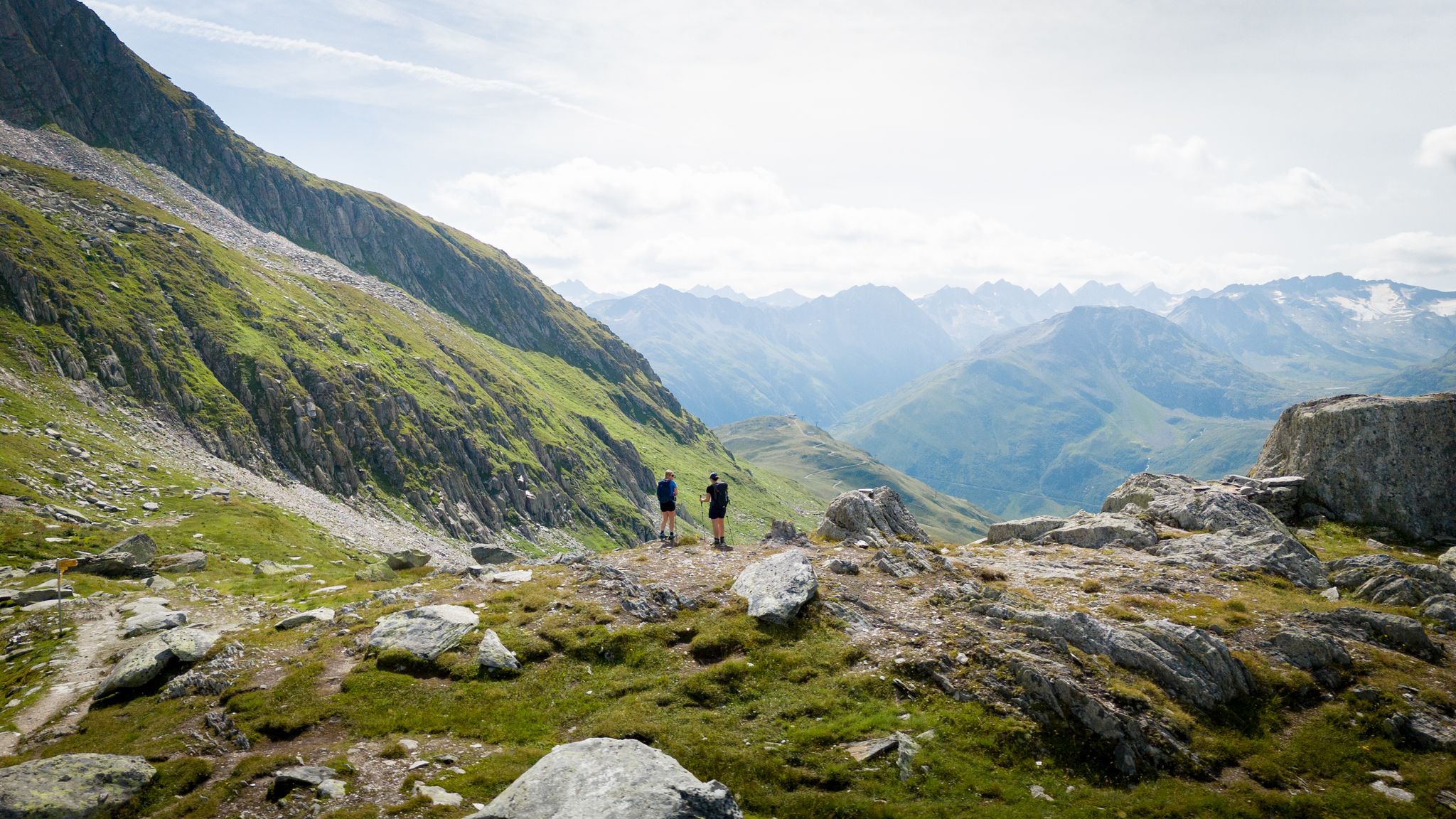
On the hunt for crystals and alpine lake magic – Gotthard Crystal Trek
On the hunt for crystals and alpine lake magic – Gotthard Crystal Trek
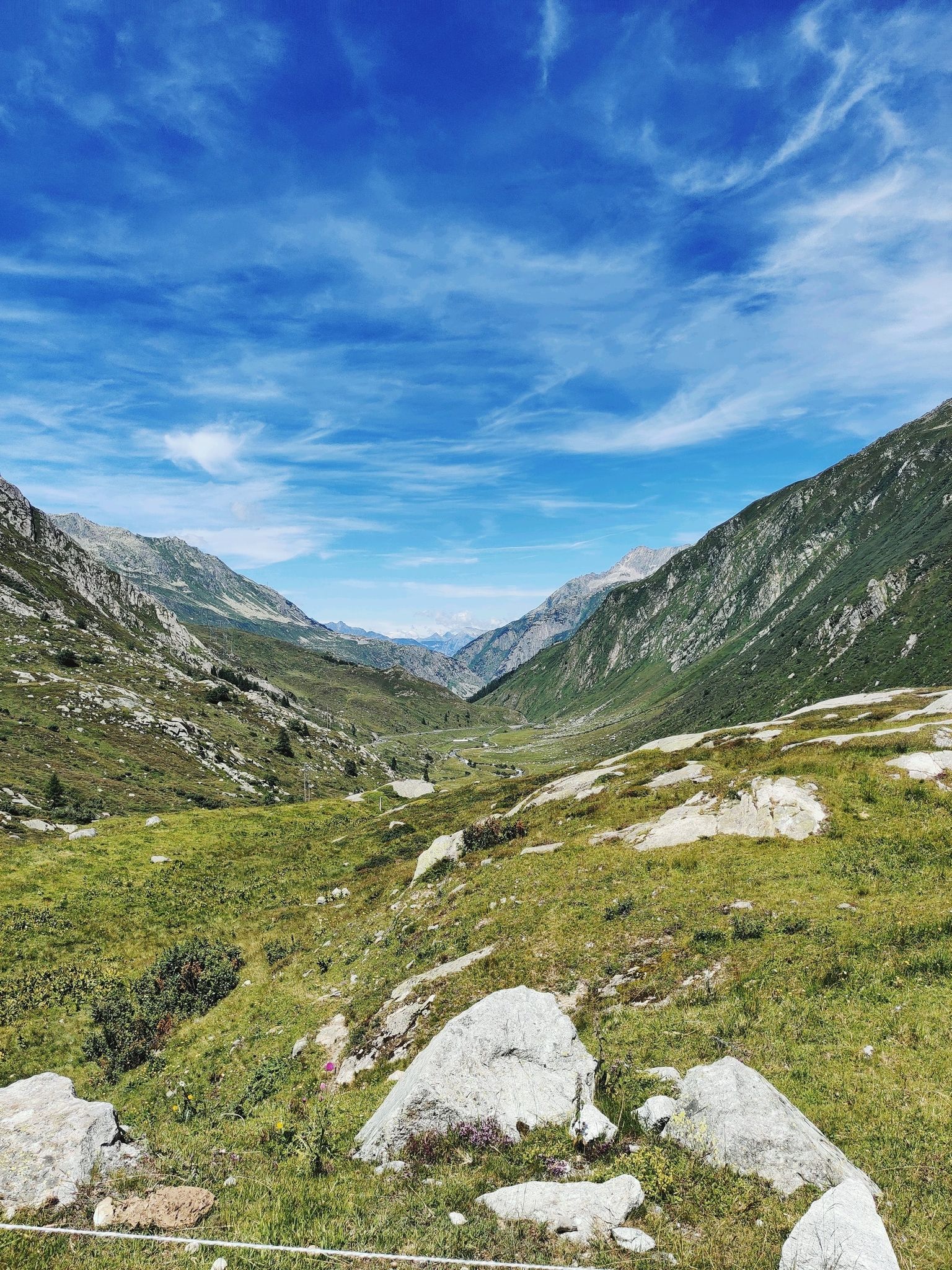
A legendary crossing of the Alps – Gottardo Bike Route
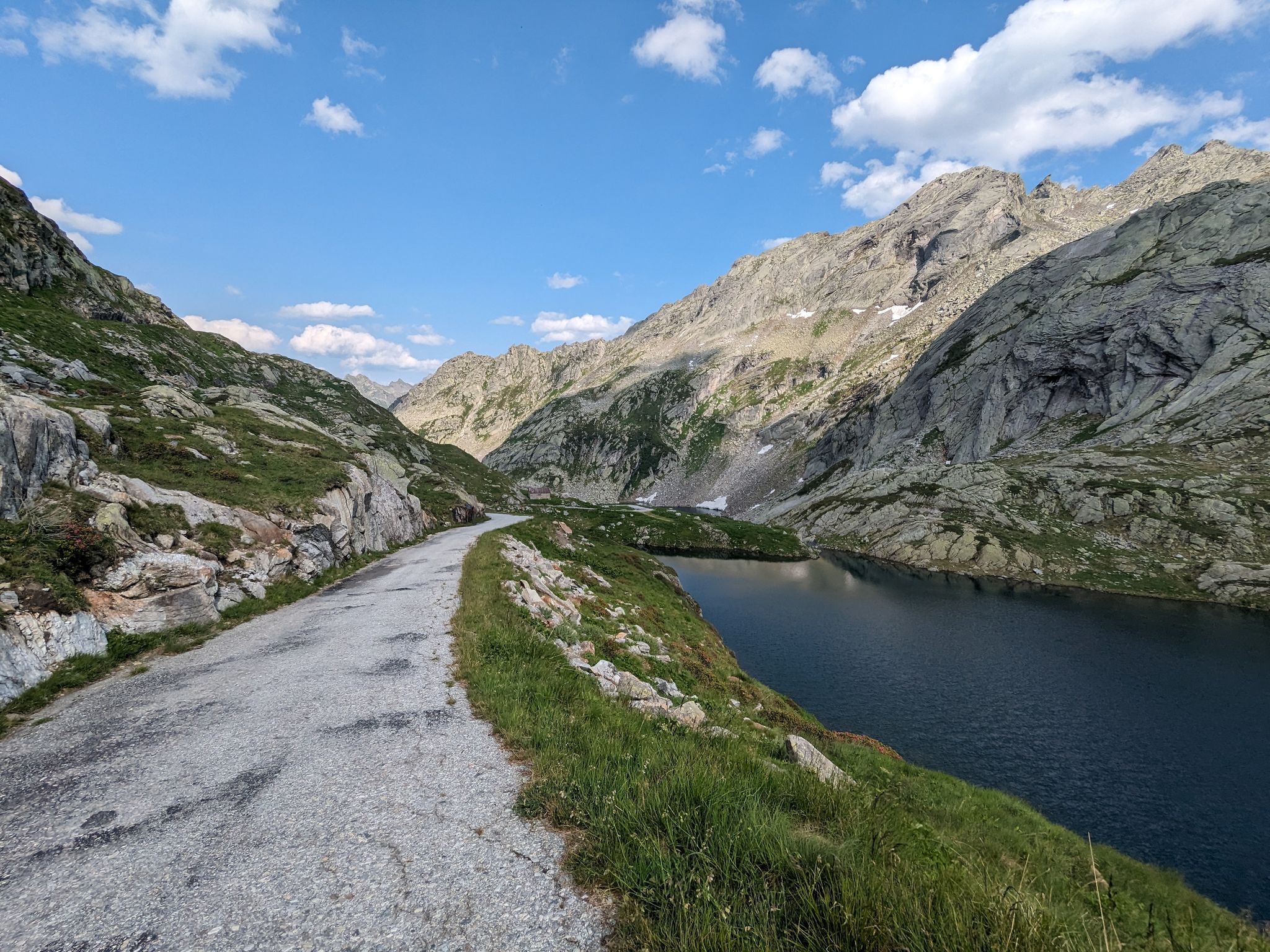
Great passes and green valleys – Ticino climbs
Other adventures around Airolo


Tips from the Community

It's always nice to ride through there!
0
0

beautiful area, great here
1
1

Engraved or rather carved into the rock, it is literally monumental.
3
0
The bubbling of the water almost covers the noise of the traffic.
5
0
The gurgling of the water adds a sense of grandeur to this beautiful place
5
0
A very pleasant shady place to ride
5
0

The Göschenenalpsee is nestled in a wild high mountain landscape above Göschenen. The turquoise reservoir is framed by steep rock faces and waterfalls. Beautiful hiking trails with views of glaciers and three-thousand-meter peaks lead around the lake. The tranquility of the secluded landscape and the reflections of the mountains in the clear water are particularly impressive.
0
0

Short section secured with chains
1
0
Frequently Asked Questions
How many mountaineering routes are available around Airolo?
Airolo offers a wide selection of mountaineering routes, with over 30 tours available. While most are classified as difficult, there are also 4 moderate routes for those seeking less extreme challenges.
Are there routes suitable for beginners or families in Airolo?
While most mountaineering routes around Airolo are challenging, there are a few moderate options that might be suitable for experienced families or beginners with good fitness and surefootedness. For example, the Mountain Lake in Ticino – Trail to Laghi d'Orsirora loop from Passo del San Gottardo is a moderate 8.2-mile path exploring the high-alpine environment around the Gotthard Pass.
What are some challenging mountaineering routes in the Airolo region?
For experienced mountaineers, Airolo offers numerous challenging routes. The Pizzo Cristallina Summit loop from Ossasco is a demanding 10.8-mile trail through the Cristallina area. Another challenging option is the Devil's Bridge (Teufelsbrücke) loop from Andermatt, which features a significant ascent through historic alpine terrain.
Can I find circular mountaineering routes near Airolo?
Yes, several mountaineering routes around Airolo are designed as loops. Examples include the Devil's Bridge (Teufelsbrücke) loop from Andermatt, the Mountain Lake in Ticino – Trail to Laghi d'Orsirora loop from Passo del San Gottardo, and the Pizzo Cristallina Summit loop from Ossasco. These allow you to start and end at the same point, offering diverse scenery along the way.
What natural features or landmarks can I expect to see on these routes?
The Airolo region is rich in natural beauty. You'll encounter impressive mountains, deep valleys like Valle Leventina and Val Bedretto, and numerous alpine lakes. Notable features include the Gotthard Pass and Nufenen Pass, which offer stunning high-altitude views. You can also explore highlights like the Oberalp Pass or the Furka Pass, both significant mountain passes in the area.
Are there any mountain huts or places to stay overnight on longer routes?
Yes, for multi-day mountaineering trips, the region offers mountain huts. Capanna Cadlimo is a well-known hut that serves as a base for routes through Val Cadlimo and towards the Lukmanier Pass. Another option is Capanna Corno Gries, which provides access to the spectacular Corno Gries. Rifugio Piansecco is also mentioned as a stop for longer ski touring routes.
What is the best time of year for mountaineering in Airolo?
The best time for mountaineering in Airolo typically spans from late spring to early autumn (June to September) when trails are generally free of snow and weather conditions are more stable. However, Airolo is also a recognized destination for ski touring and freeriding in winter, offering various routes for different skill levels, including glacier climbs.
How can I reach the trailheads for mountaineering routes around Airolo using public transport?
Airolo is accessible by public transport, and many trailheads can be reached via bus services connecting to the main villages and passes. For example, the cable car to Pesciüm from Airolo provides a panoramic starting point for many routes. The Gotthard Pass, a common starting point, is also accessible by bus.
What do other mountaineers say about the routes in Airolo?
The mountaineering routes in Airolo are highly regarded by the komoot community, with an average rating of 5.0 stars from over 50 reviews. Mountaineers often praise the region's high alpine peaks, deep valleys, and numerous glacial lakes, highlighting the diverse terrain and breathtaking views.
Are there any routes that offer views of multiple alpine lakes?
Absolutely. The Airolo region is dotted with numerous alpine lakes. The Mountain Lake in Ticino – Trail to Laghi d'Orsirora loop from Passo del San Gottardo specifically explores an area with several pristine lakes. The Gotthard Pass area is also known for its proximity to multiple lakes, including Lago di Lucendro, making it ideal for routes like the '8 Lakes Circuit'.
Where can I find parking for mountaineering trails in Airolo?
Parking is generally available at key starting points for mountaineering routes, such as near the Gotthard Pass, in Airolo village itself, or at access points to valleys like Val Bedretto. Specific parking information for individual trailheads can often be found on local signage or detailed route descriptions.
Are there any specific safety considerations for mountaineering in the Airolo region?
Mountaineering in the Airolo region, especially on difficult routes, requires good physical condition, surefootedness, and experience in alpine terrain. Some areas may involve boulder fields or secured rock ledges. During winter, Airolo is a popular ski touring destination, and an Avalanche Training Center is available for safety education. Always check weather and trail conditions before heading out, and consider consulting local guides for challenging ascents.
Most popular attractions around Airolo

Get inspired with the komoot mobile app


Explore more
Browse the best Mountain Hikes & Routes in other regions.
