The best mountain hikes around Grancia
5.0
(6)
67
hikers
7
hikes
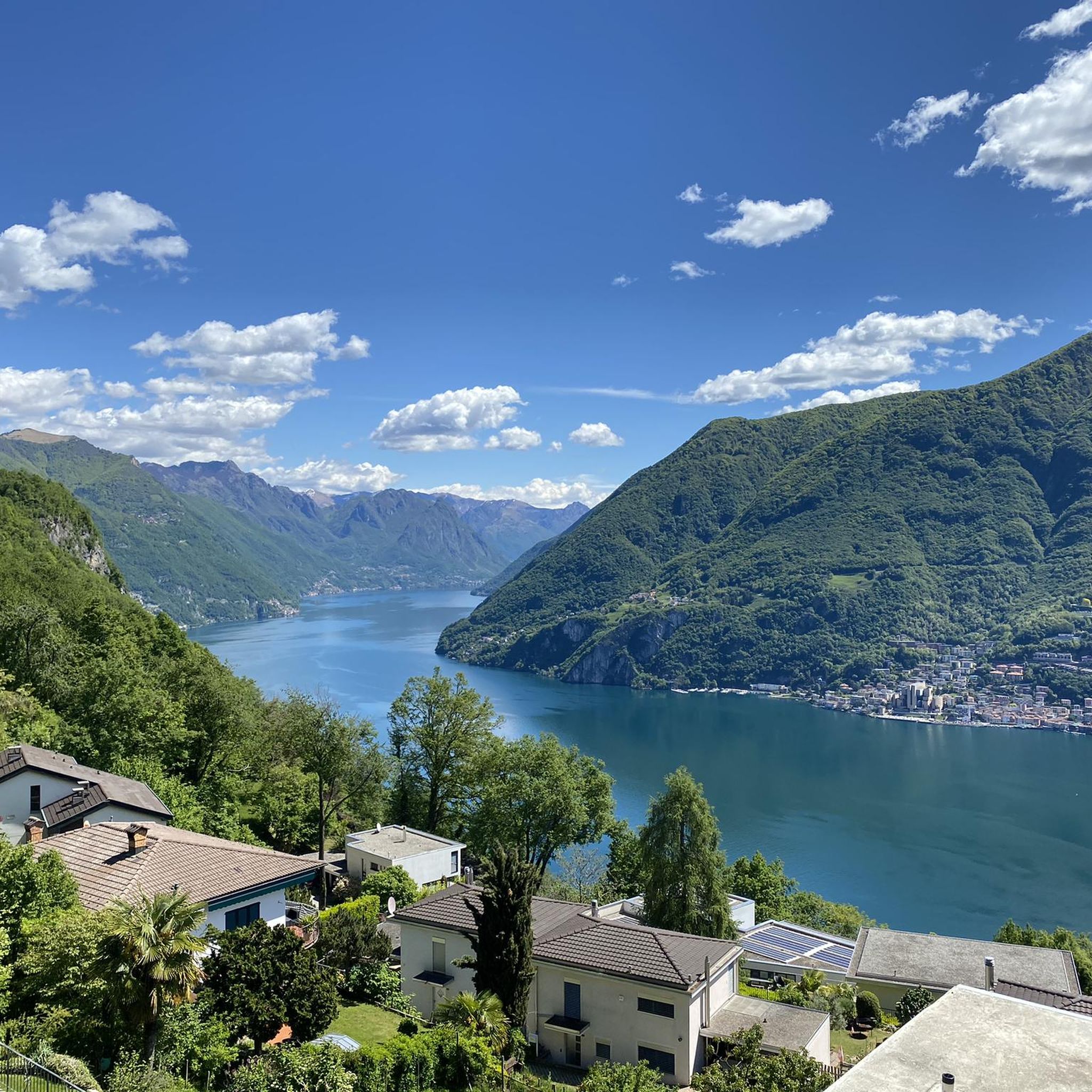
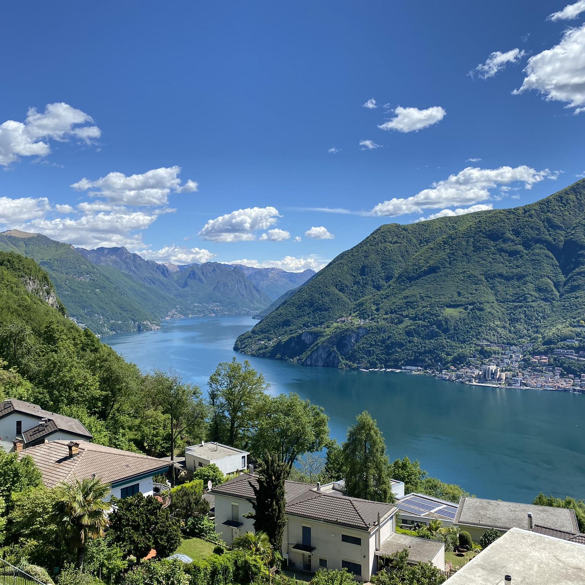
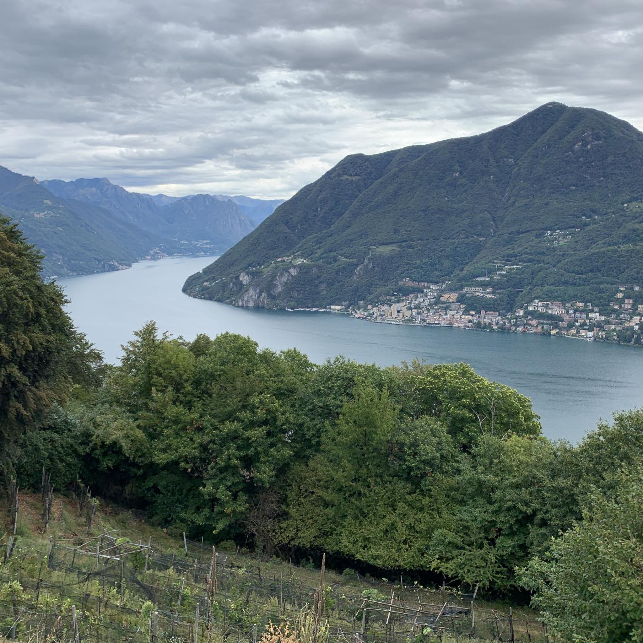
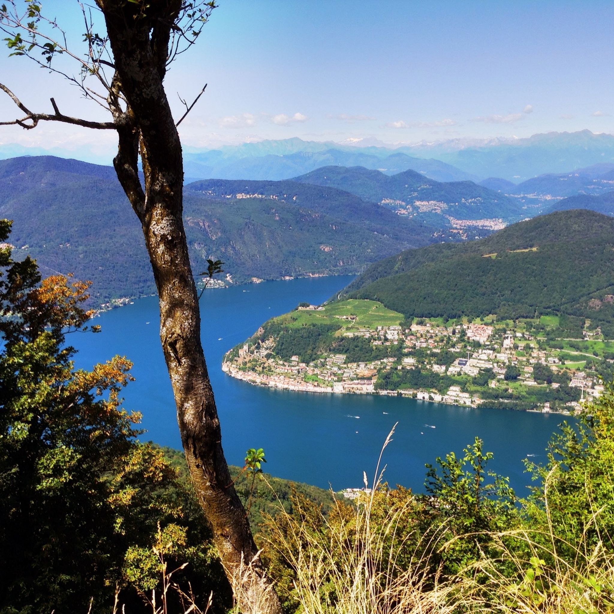
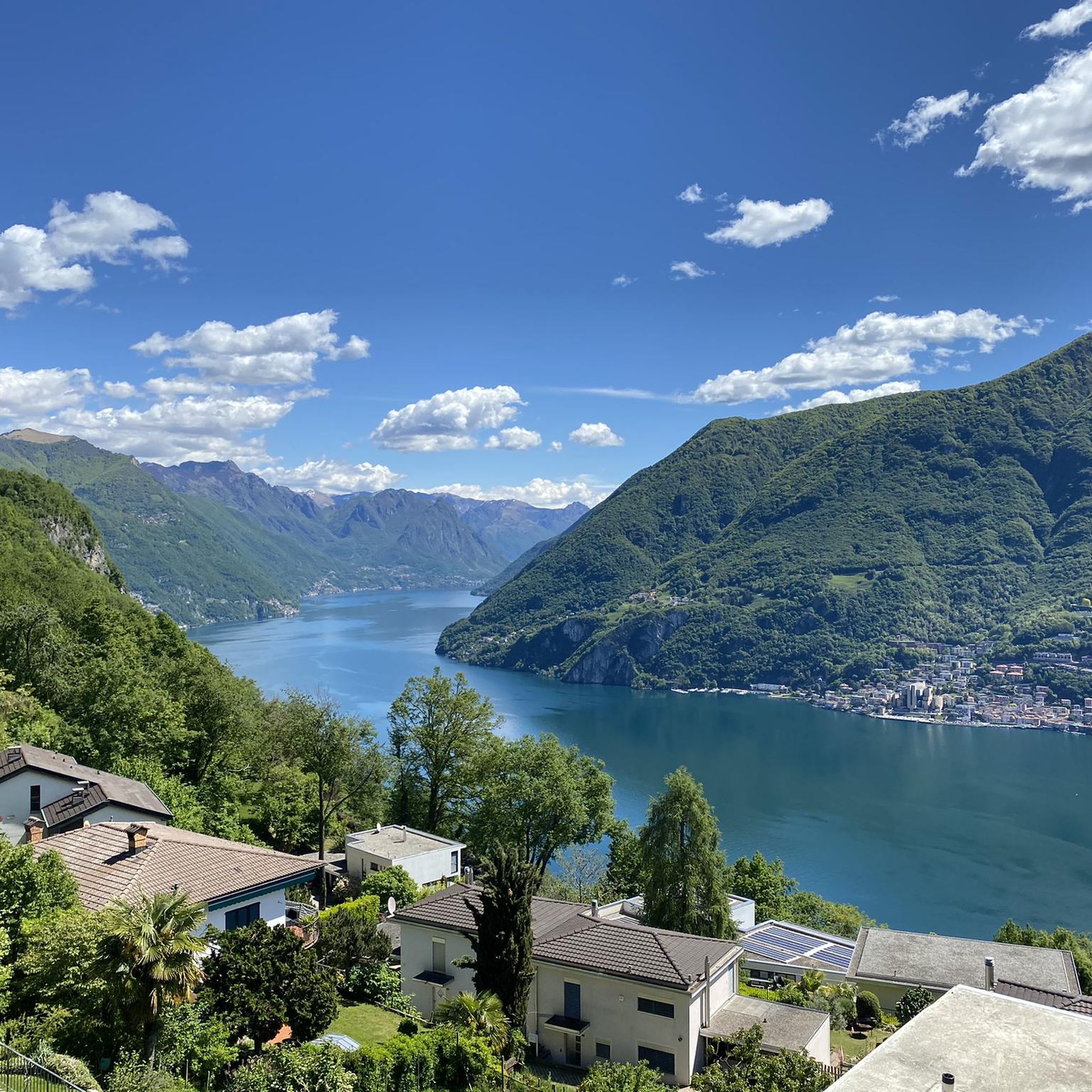
Mountaineering routes around Grancia, located in the Distretto di Lugano, Switzerland, traverse a landscape characterized by pre-alpine peaks, dense forests, and panoramic views over Lake Lugano. The terrain offers a mix of challenging ascents and varied paths through wooded slopes and rocky outcrops. Elevations in the region provide opportunities for significant vertical gain, typical of mountain hiking.
Best mountaineering routes around Grancia
- The most popular mountaineering route is Monte San Salvatore – Puntobelvedere loop from Pazzallo, a 3.0 miles…
Last updated: June 28, 2026
5.0
(3)
35
hikers
4.38km
02:13
350m
350m
Moderate mountaineering route. Good fitness required. Mostly accessible paths. Sure-footedness required.
5.0
(1)
9
hikers
13.6km
07:08
1,190m
1,190m
Hard mountaineering route. Very good fitness required. Sure-footedness, sturdy shoes and alpine experience required.

Sign up for free
5.0
(1)
6
hikers
11.4km
06:38
1,150m
1,150m
Hard mountaineering route. Very good fitness required. Sure-footedness, sturdy shoes and alpine experience required.
6
hikers
11.5km
05:17
900m
900m
Hard mountaineering route. Very good fitness required. Mostly accessible paths. Sure-footedness required.
5.0
(1)
5
hikers
4.26km
01:48
260m
260m
Moderate mountaineering route. Great for any fitness level. Mostly accessible paths. Sure-footedness required.
Get access to more routes and recommendations from other explorers.
Sign up for free
Already have an account?
Our route recommendations are based on thousands of hikes, rides, and runs completed by other people on komoot.
Start today with a free account
Your next adventure awaits.
Login or Signup

Tips from the Community

pretty here, very pretty
0
0
pretty here, very pretty
0
0
pretty here, very pretty
0
0
pretty here, very pretty
0
0
pretty here, very pretty
0
0
scenically very great tour. Top Top Top
0
0

Beautiful 360° view
0
0
Frequently Asked Questions
How many mountaineering routes are available around Grancia?
There are over 9 mountaineering routes around Grancia listed in this guide, offering a variety of experiences from moderate ascents to more challenging alpine routes.
What kind of terrain can I expect on mountaineering routes near Grancia?
Mountaineering routes around Grancia, located in the Distretto di Lugano, Switzerland, traverse a landscape characterized by pre-alpine peaks, dense forests, and panoramic views over Lake Lugano. You'll find a mix of challenging ascents and varied paths through wooded slopes and rocky outcrops, with opportunities for significant vertical gain.
Are there routes suitable for beginners or those looking for an easier mountaineering experience?
Yes, Grancia offers several moderate mountaineering routes. For example, the Monte San Salvatore – Puntobelvedere loop from Pazzallo is a moderate 3.0-mile trail that provides panoramic views without extreme difficulty. Another moderate option is the Monte San Salvatore loop from Lago di Lugano.
What are some challenging mountaineering routes around Grancia?
For those seeking a more demanding experience, the Sasso Rosso – Monte Boglia loop from Brè sopra Lugano is a difficult 6.9-mile path featuring sustained climbs through forested areas to prominent peaks. Another difficult option is the View of Lake Lugano – Monte Generoso Alpine Route loop from Val Mara, which covers 6.9 miles through alpine terrain with expansive lake views.
What do other mountaineers say about the routes in Grancia?
The mountaineering routes in Grancia are highly rated by the komoot community, with an average score of 5.0 stars from over 9 reviews. More than 100 mountaineers have used komoot to explore Grancia's varied terrain, often praising the panoramic views and diverse landscapes.
Are there any circular mountaineering routes in the Grancia area?
Yes, many of the mountaineering routes around Grancia are designed as loops, allowing you to start and end at the same point. Examples include the Monte San Salvatore – Puntobelvedere loop from Pazzallo, the Sasso Rosso – Monte Boglia loop from Brè sopra Lugano, and the View of Lake Lugano – Monte Generoso Alpine Route loop from Val Mara.
What is the best time of year for mountaineering around Grancia?
The best time for mountaineering around Grancia, given its pre-alpine Swiss location, is typically from late spring (May/June) through early autumn (September/October). During these months, the weather is generally more stable, trails are clear of snow, and temperatures are pleasant. Always check local weather forecasts and trail conditions before heading out.
Are there any interesting natural landmarks or viewpoints along the mountaineering routes?
Absolutely! The region is rich in natural beauty. You can find stunning views from Monte San Salvatore and Monte San Giorgio overlooking Lake Lugano. The majestic Monte Generoso is also a prominent feature. For those interested in waterfalls, the Pevereggia Waterfalls and the Waterfall and Panoramic Terrace of Val Mara are notable highlights.
Are there any family-friendly options for exploring the Grancia area?
While many mountaineering routes involve significant elevation gain, some of the moderate trails, especially those with shorter distances and well-maintained paths, can be suitable for families with older children who are accustomed to hiking. For example, the Monte San Salvatore – Puntobelvedere loop from Pazzallo offers rewarding views for a reasonable effort. Always assess the difficulty and length against your family's experience level.
Are dogs allowed on the mountaineering trails near Grancia?
Generally, dogs are welcome on hiking trails in Switzerland, but leash rules often apply, especially in nature reserves, near livestock, or in crowded areas. It's always best to check specific local regulations for the particular trail you plan to hike. Ensure your dog is well-behaved and capable of handling the terrain and distance.
Where can I find places to eat or stay near the mountaineering trails in Grancia?
Grancia and the surrounding Lugano region offer various dining and accommodation options. You'll find restaurants and cafes in nearby towns like Lugano, Pazzallo, and Brè sopra Lugano. For example, the Grotto Sgambada is a local dining spot. For accommodation, you can find hotels, B&Bs, and guesthouses in the villages around Lake Lugano, providing convenient access to the trailheads.
Is public transport available to reach mountaineering trailheads near Grancia?
Yes, the Lugano region has a good public transport network. Many trailheads, especially those around Monte San Salvatore or accessible from towns like Pazzallo or Brè sopra Lugano, can often be reached by bus or funicular. For instance, Monte San Salvatore is well-served by a funicular from Paradiso, which can shorten the ascent. Always check local bus and train schedules for specific routes.
Are there any permits required for mountaineering in the Grancia area?
For general mountaineering and hiking on marked trails in the Grancia area of Switzerland, permits are typically not required. However, if you plan to engage in specific activities like climbing or enter protected areas with special regulations, it's always advisable to check with local tourism offices or park authorities for any specific requirements.
Most popular routes around Grancia
Most popular attractions around Grancia

Get inspired with the komoot mobile app


Explore more
Browse the best Mountain Hikes & Routes in other regions.
