The best mountain hikes around L'Hospitalet-Près-L'Andorre
4.8
(5)
61
hikers
13
hikes
Mountaineering routes around L'Hospitalet-Près-L'Andorre are situated in the high Pyrenees, offering a diverse and challenging environment for outdoor enthusiasts. The region is characterized by majestic mountain peaks, including the prominent Pic Carlit and Puig de Coma d'Or, which provide extensive panoramic views. The landscape features numerous high-altitude lakes and tarns, such as the Étang des Bésines and Étang de Pédourès, often found in mineral-rich settings. This high mountain environment presents significant elevation changes, ranging from wooded areas to open, rocky…
Last updated: July 4, 2026
14
hikers
7.80km
03:13
630m
630m
Moderate mountaineering route. Good fitness required. Easily-accessible paths. Suitable for all skill levels.
9
hikers
12.0km
04:55
800m
800m
Moderate mountaineering route. Good fitness required. Mostly accessible paths. Sure-footedness required.

Sign up for free
5.0
(1)
9
hikers
16.9km
07:36
1,040m
1,040m
Hard mountaineering route. Very good fitness required. Sure-footedness, sturdy shoes and alpine experience required.
7
hikers
17.1km
07:38
1,190m
1,190m
Hard mountaineering route. Very good fitness required. Sure-footedness, sturdy shoes and alpine experience required.
6
hikers
Hard mountaineering route. Very good fitness required. Mostly accessible paths. Sure-footedness required.
Get access to more routes and recommendations from other explorers.
Sign up for free
Already have an account?
Our route recommendations are based on thousands of hikes, rides, and runs completed by other people on komoot.
Start today with a free account
Your next adventure awaits.
Login or Signup
Popular around L'Hospitalet-Près-L'Andorre

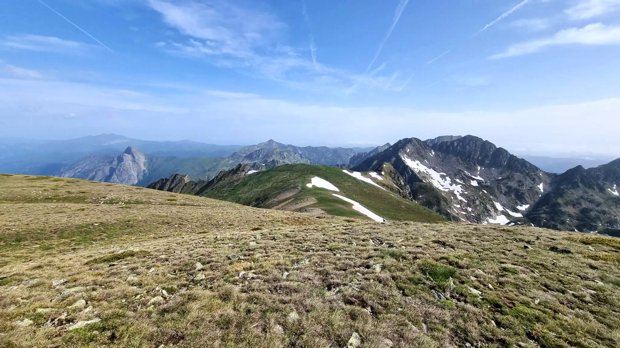
On wild ridges: Catalonia to Ariège – Hexatrek, Eastern Pyrenees
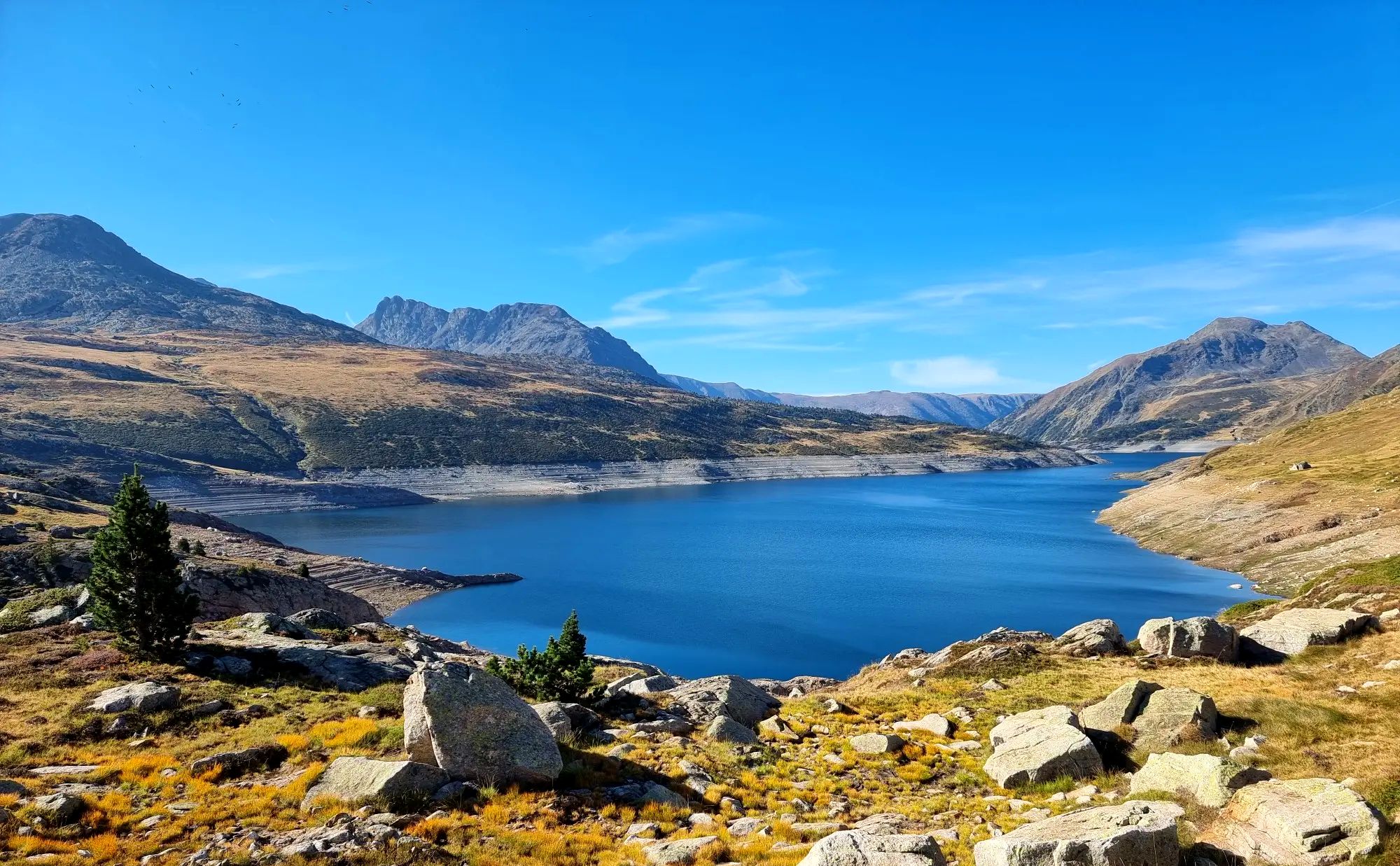
From refuge to refuge — Tour des Pérics
Tour des Pérics – Carlit and Grand Péric variants
Cycling around L'Hospitalet-Près-L'Andorre
Running Trails around L'Hospitalet-Près-L'Andorre
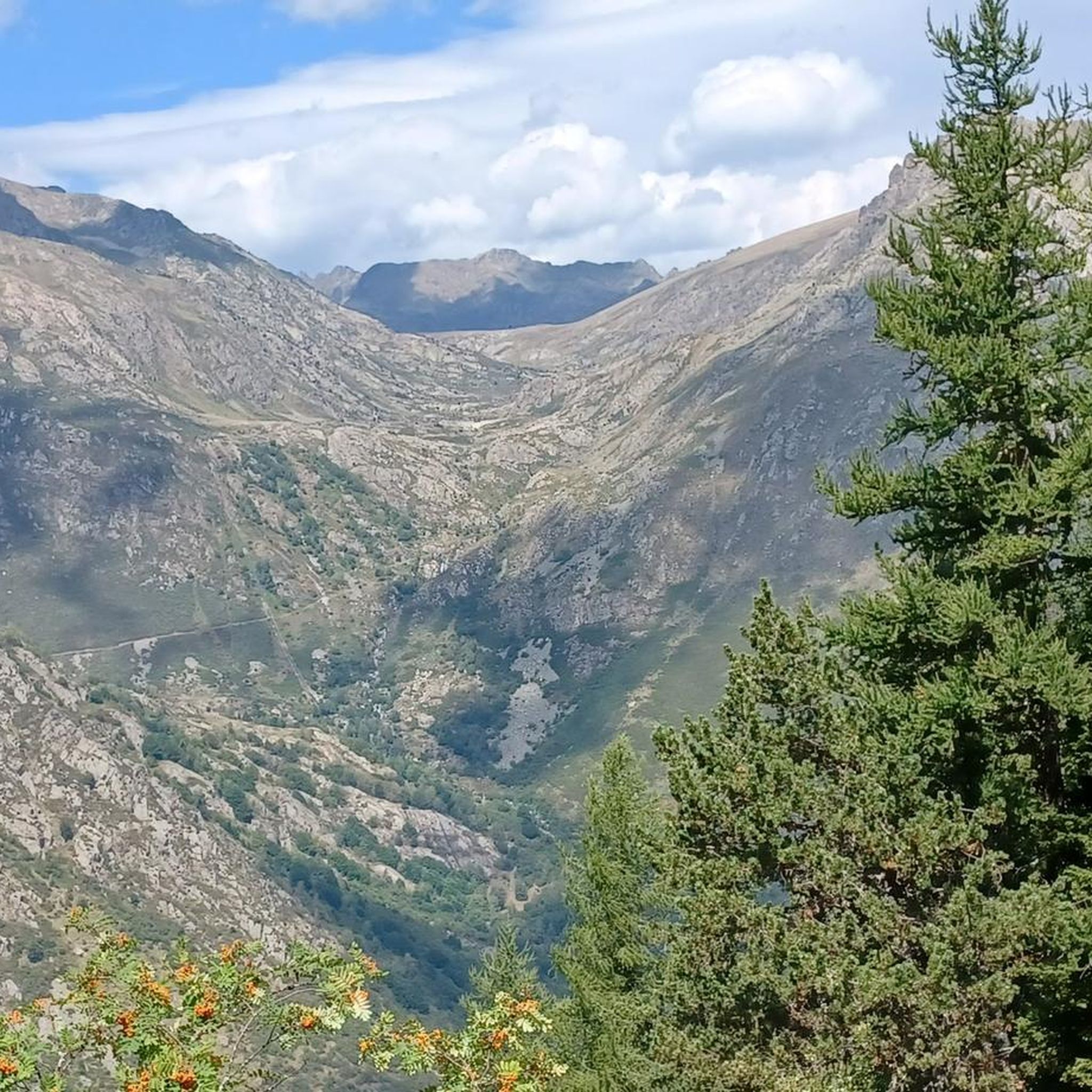
MTB Trails around L'Hospitalet-Près-L'Andorre
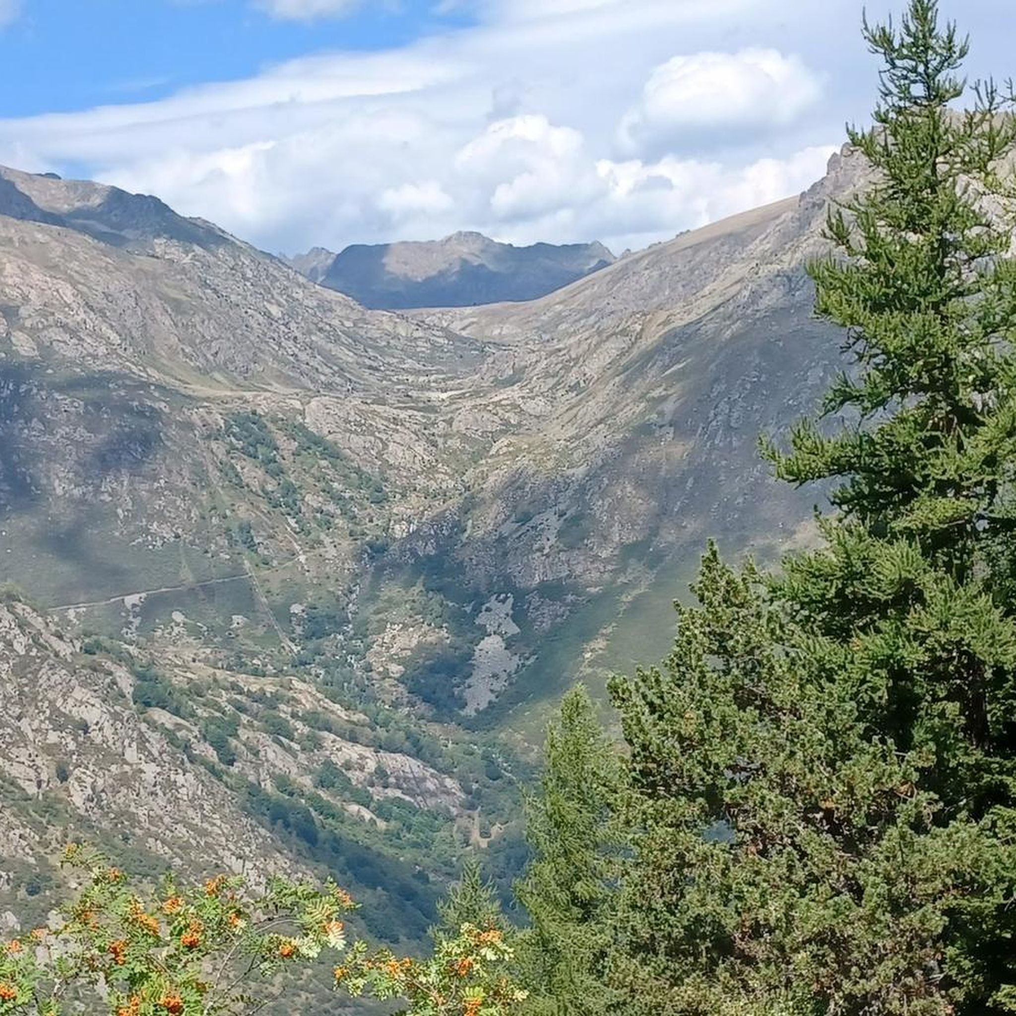
Road Cycling Routes around L'Hospitalet-Près-L'Andorre
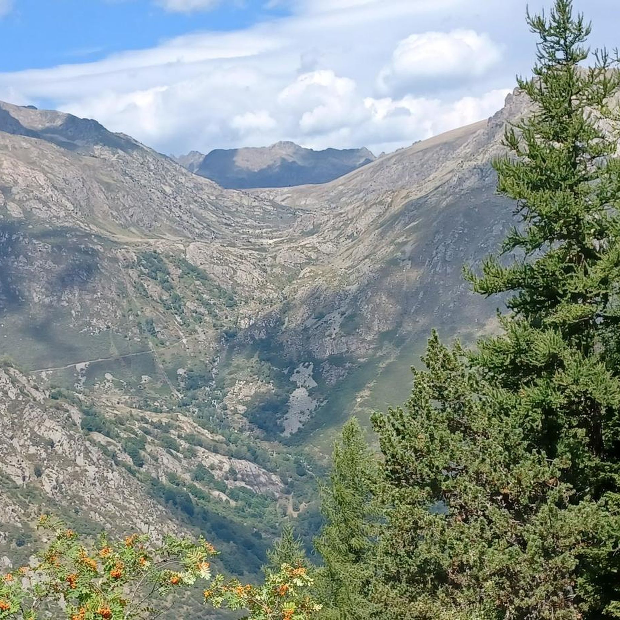
Hiking around L'Hospitalet-Près-L'Andorre


Tips from the Community

After the ascent from the ski stations in the valley of the first of many lakes on this circular hike
1
0
A very clean toilet building. There is also a defibrillator hanging here. Directly on the bridge over the river
1
0

only for experienced hikers Sure-footedness absolutely required fantastic view from the top in good weather not overcrowded
0
0

There is a bar and restaurant next to the lake. Perfect for a stop.
1
0

There are toilets. Camping is prohibited.
0
0

Small town, important railway station
0
0


A very spectacular summit! I started at the Refugi de l'Illa. A steep but not difficult climb. Good balance is required for the final section.
1
0
Frequently Asked Questions
How many mountaineering routes are available around L'Hospitalet-Près-L'Andorre?
There are 19 mountaineering routes in the L'Hospitalet-Près-L'Andorre region. These include 10 moderate and 9 difficult trails, offering a diverse range of challenges for mountaineers.
What kind of terrain can I expect on mountaineering routes in L'Hospitalet-Près-L'Andorre?
The terrain around L'Hospitalet-Près-L'Andorre is characteristic of the high Pyrenees, featuring majestic mountain peaks, numerous high-altitude lakes, and significant elevation changes. You'll encounter everything from wooded areas to open, rocky expanses, with elevations ranging from 1,279 to 2,816 meters.
Are there any circular mountaineering routes in the area?
Yes, several routes are circular. For example, the difficult Hospitalet near Andorra loop from Andorre - L'Hospitalet covers 16.1 km with over 1000m of ascent. Another challenging option is the Peak Carlit loop from Barrage de Passet, which is 17.1 km long.
What are some notable natural landmarks or viewpoints along the routes?
The region is rich in natural beauty. You can find stunning views from the Summit of Pic Carlit, which offers extensive panoramas. The Estany Primer is a popular spot known for its magnificent scenery and mountain flowers. The Cirque des Pessons also offers a wild landscape with at least sixteen crystal-clear lakes.
What is the best time of year for mountaineering in L'Hospitalet-Près-L'Andorre?
The best time for mountaineering in L'Hospitalet-Près-L'Andorre is typically during the warmer months, from late spring to early autumn, when trails are generally free of snow and weather conditions are more stable. However, the high-altitude environment means conditions can change rapidly, so always check forecasts.
Are there any moderate mountaineering routes suitable for those with good fitness but less alpine experience?
Yes, there are moderate options. The Montmalús – Collada de Montmalús loop from Grau Roig is a moderate 7.8 km path that offers views of the surrounding peaks and valleys without the extreme difficulty of some other routes.
Are there any huts or refuges along the mountaineering trails?
Yes, there are refuges in the area that can serve as stops or overnight stays. For instance, the Cabana Sorda Refuge and the Cabane de Rouzet are points of interest that can be found along some routes.
What do other mountaineers enjoy most about the routes in L'Hospitalet-Près-L'Andorre?
The mountaineering routes in L'Hospitalet-Près-L'Andorre are highly rated by the komoot community, with an average score of 4.9 stars. Reviewers often praise the majestic mountain peaks, the abundance of high-altitude lakes, and the challenging yet rewarding elevation changes that define the region's diverse terrain.
Can I access these mountaineering routes using public transport?
L'Hospitalet-près-l'Andorre is a small commune, but it is located on a railway line, making it accessible by train. From the village, you may need to arrange local transport or start your routes directly, depending on the specific trailhead. Always check local public transport schedules in advance.
Are there any specific permits required for mountaineering in this region?
Generally, no specific permits are required for hiking and mountaineering on established trails in the Pyrenees. However, if you plan to enter protected areas like the Parc Naturel Régional des Pyrénées Ariégeoises, it's always wise to check for any specific regulations or restrictions, especially concerning camping or sensitive wildlife zones. For cross-border routes into Andorra, be aware of any specific regulations there; you can find more information on Visit Andorra's website.
What are some of the highest peaks accessible from L'Hospitalet-Près-L'Andorre?
The region provides access to significant Pyrenean peaks. The Pic Carlit, at 2,921 meters, is a prominent summit offering extensive panoramas. The Puig de Coma d'Or (2,826 m) also provides splendid 360° views of the Catalan, Ariège, and Andorran Pyrenees.
Are there opportunities for wild swimming after a mountaineering trip?
The high-mountain lakes and tarns, such as the Étang des Bésines and Étang de Pédourès, are numerous in the region. While not explicitly designated for swimming, many offer pristine, cold waters that can be refreshing after a long mountaineering trip, provided local regulations allow and conditions are safe.
Most popular routes around L'Hospitalet-Près-L'Andorre
Most popular attractions around L'Hospitalet-Près-L'Andorre

Get inspired with the komoot mobile app


Explore more
Browse the best Mountain Hikes & Routes in other regions.
