The best running trails around Gilhac-Et-Bruzac
4.4
(188)
6,140
runners
260
runs
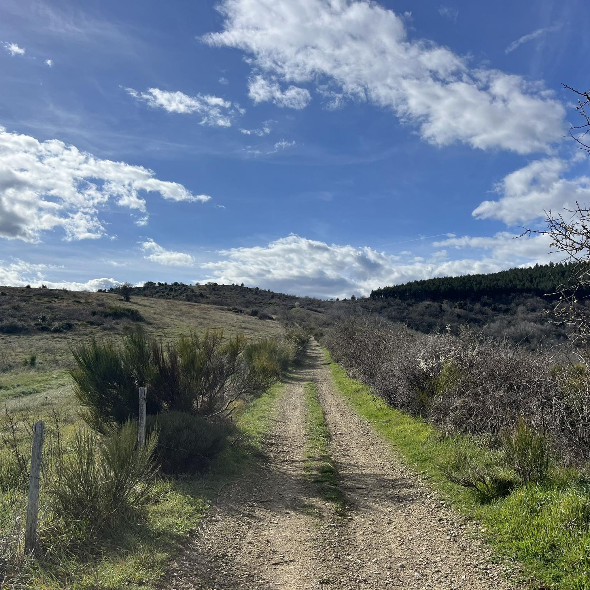
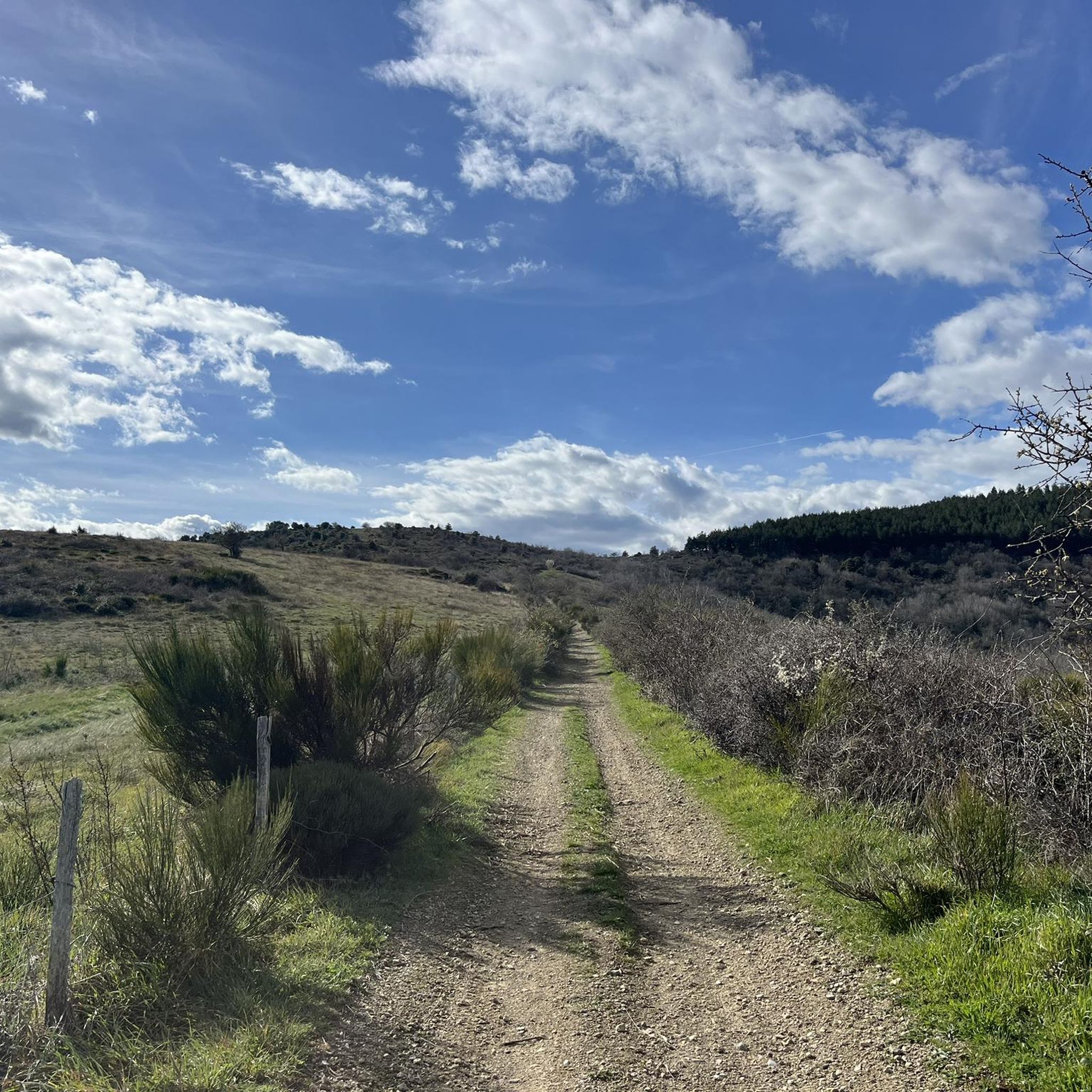
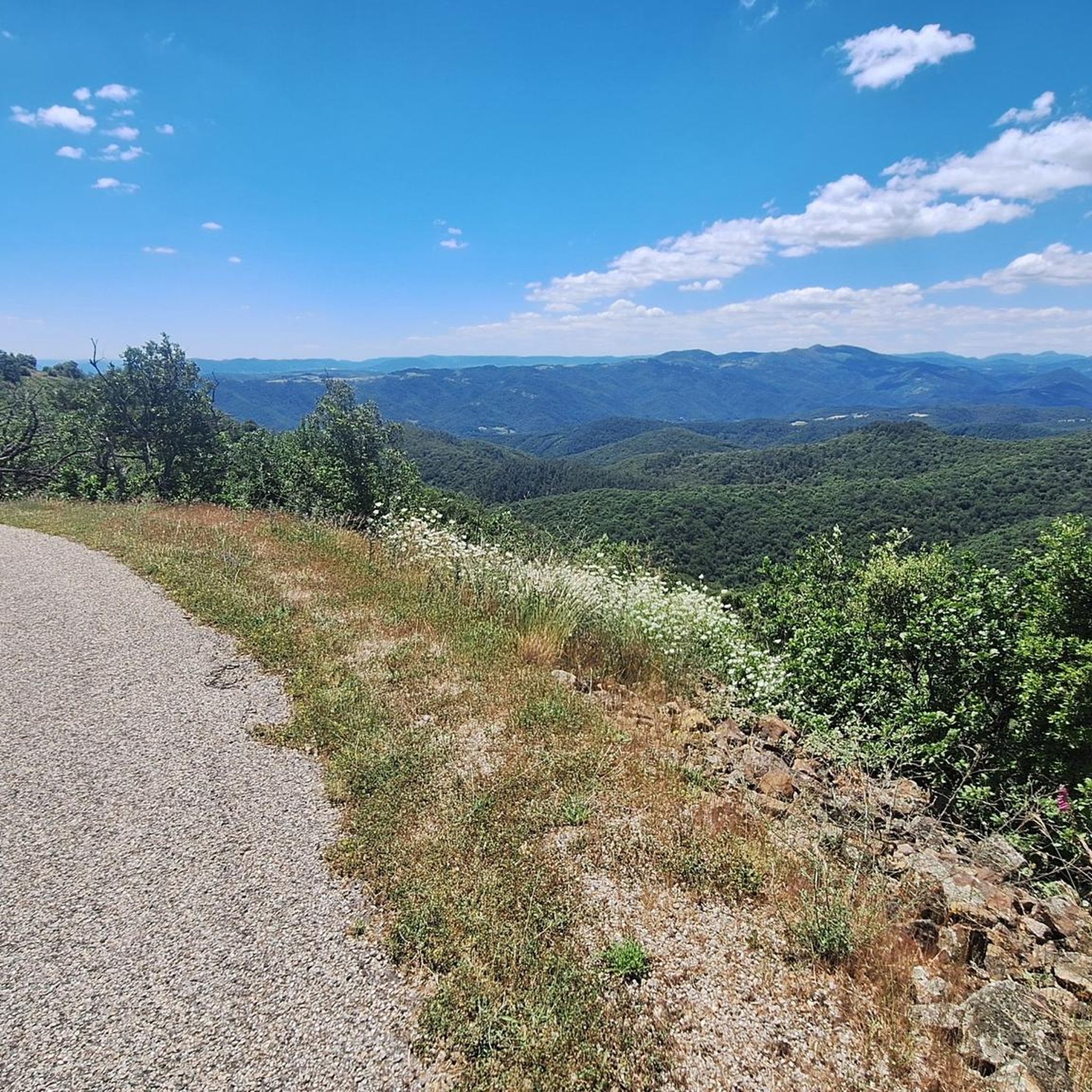
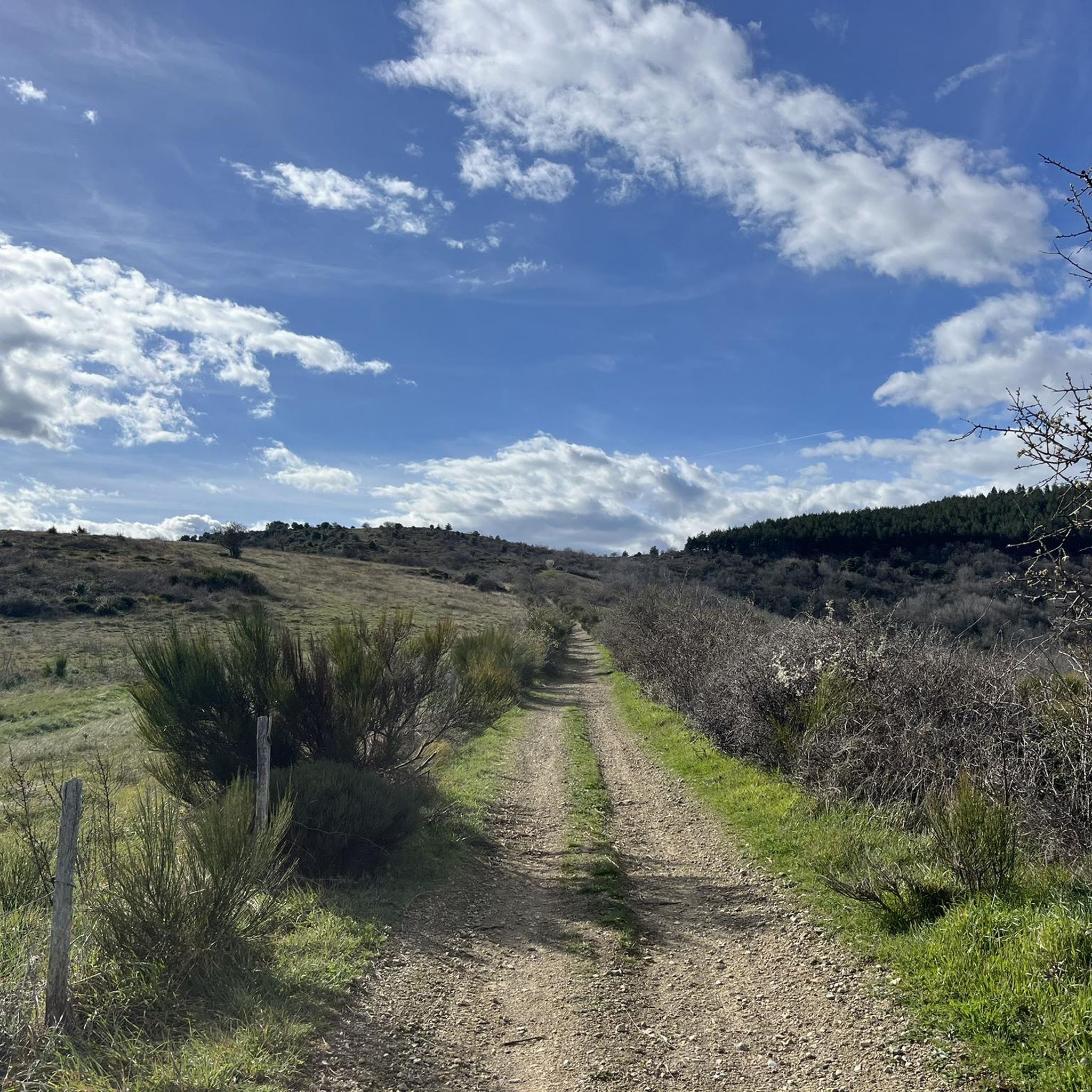
Jogging around Gilhac-Et-Bruzac offers diverse landscapes within the Ardèche department, characterized by varied topography and mountainous spaces. The region features river valleys, such as the Turzon, alongside dedicated greenways and trails. Runners can explore a mix of terrain, from paths winding through serene forests to elevated areas with views of the Ardèche mountains. Altitudes range from 160 to 786 meters, providing options for different intensity levels.
Best jogging routes around Gilhac-Et-Bruzac
- The most popular jogging route is Beauchastel Old Town…
Last updated: July 1, 2026
4.5
(2)
41
runners
14.3km
01:46
460m
460m
Hard run. Very good fitness required. Mostly paved surfaces. Suitable for all skill levels.
10
runners
36.7km
03:49
150m
150m
Hard run. Very good fitness required. Mostly paved surfaces. Suitable for all skill levels.

Sign up for free
22
runners
6.30km
00:40
70m
70m
Moderate run. Good fitness required. Mostly paved surfaces. Suitable for all skill levels.
13
runners
13.9km
01:58
580m
580m
Hard run. Very good fitness required. Sure-footedness, sturdy shoes and alpine experience required.
21
runners
Hard run. Very good fitness required. Mostly paved surfaces. Suitable for all skill levels.
Get access to more routes and recommendations from other explorers.
Sign up for free
Already have an account?
Our route recommendations are based on thousands of hikes, rides, and runs completed by other people on komoot.
Start today with a free account
Your next adventure awaits.
Login or Signup
Tips from the Community

Beauchastel, a charming village on the Rhône River in the Ardèche region, invites you to a relaxing visit. The historic old town, with its narrow streets and traditional stone houses, is particularly worth seeing. The ruins of the old castle offer picturesque views of the Rhône and the surrounding countryside. Nature lovers enjoy walks along the river or through the region's verdant vineyards. A hidden idyll away from the hustle and bustle of the tourist crowds, it's well worth a visit.
0
0

The perfect idea on the bike path: an old train station converted into a bar, restaurant, and hostel. Highly recommended. The food was delicious and the drinks were nice and chilled.
3
0
Place Anja on the main street, but nice view of the castle ruins.
2
0
nice winding place, old town of Beauchastel
3
0

Great place Great welcome
1
0

From the cycle path, you can see the eastern face of the Guercy massif, where the Soyons caves, discovered in the 19th century, are located. The Nero cave contains traces of prehistoric human and Neanderthal life, while the Trou du Renard is a vast network of galleries resulting from limestone concretions.
3
2

On the Soyons site, an exceptional set of cavities was discovered at the end of the 19th century. Currently two prehistoric and concretion caves are open to the public. Nero's cave immerses us in prehistory and the life of Neanderthal man. The Fox Hole reveals the underground world and provides access to a gallery of limestone concretions with stalagmites, stalactites, draperies, columns. A botanical trail will take you to the porch of the caves. The visit is guided and lasts one hour. Combined ticket “caves + archaeological museum of Soyons”. Introductory workshops on archaeological excavation for children (information on workshop dates at the museum). Cave classified as a “Historic Monument” and “Natura 2000” “ENS” and “Vineyards and Discoveries” site.
1
0
Frequently Asked Questions
How many running routes are available around Gilhac-Et-Bruzac, and what are their difficulty levels?
There are over 260 running routes around Gilhac-Et-Bruzac. You'll find a good variety, including 22 easy routes, 166 moderate routes, and 77 more challenging trails for experienced runners.
Are there any easy, family-friendly running paths in the Gilhac-Et-Bruzac area?
Yes, for a relaxed run suitable for families, the Voie Verte La Dolce Via is an excellent choice. This magnificent greenway, a former railway line along the Eyrieux river, is mostly clean, rolling, and has very little slope, making it ideal for an easy, scenic jog.
What kind of terrain can I expect on the running trails in Gilhac-Et-Bruzac?
The region offers diverse terrain, from the smooth, low-gradient paths of the Voie Verte La Dolce Via to more rugged sections of the GR®42 and GR®42B trails. You'll encounter a mix of small paved roads, serene forest paths, and mountainous spaces with varied topography, providing both gentle and challenging options.
Are there any long-distance running trails or routes for endurance training?
Absolutely. For longer runs, consider routes like the ViaRhôna – Lône de Blaud loop from Saint-Georges-les-Bains, which covers over 32 km. The GR®42 and GR®42B trails also offer extensive sections for those looking to cover significant distances with beautiful panoramas.
What are some notable natural features or viewpoints I can see while running in Gilhac-Et-Bruzac?
Runners can enjoy stunning views from elevated areas like the Serre de Mure mountain, the highest point in the municipality. The GR®42 and GR®42B trails offer "beautiful panoramas" of the Ardèche mountains, the Vernoux valley, and the Rhône valley. You might also spot the wild and enclosed Vallon du Turzon, known for its rich flora and fauna.
Are there any circular running routes in the area?
Yes, many routes around Gilhac-Et-Bruzac are designed as loops. For example, the Uitzicht loop from Autussac is a moderate 7.7 km circular path, and the Col des Ayes loop from Saint-Georges-les-Bains offers a longer 15.2 km circular experience through varied terrain.
What do other runners say about the trails in Gilhac-Et-Bruzac?
The running routes in Gilhac-Et-Bruzac are highly rated by the komoot community, with an average score of 4.4 stars from over 160 reviews. Runners often praise the diverse landscapes, from river valleys to mountainous spaces, and the variety of options suitable for different ability levels.
Are there any historical sites or landmarks near the running paths?
Yes, you can combine your run with a visit to historical sites. For instance, the Crussol Castle is a notable landmark nearby, offering views of "great wild spaces." The charming town of La Voulte-sur-Rhône is also accessible and offers a glimpse into the region's heritage.
When is the best time of year to go running in Gilhac-Et-Bruzac?
The region is enjoyable for running throughout much of the year. Spring offers the beauty of nature's rebirth, while summer mornings provide pleasant shade, especially along routes like the Voie Verte La Dolce Via. The varied topography means you can find suitable conditions across seasons, though checking local weather is always recommended.
Are there any routes that offer a good challenge for experienced runners?
Certainly. For a more demanding run, the Beauchastel Old Town loop from Beauchastel is a difficult 14.3 km trail featuring significant elevation gain. The GR®42 and GR®42B trails also traverse mountainous areas, providing challenging ascents and descents.
What kind of natural environment can I expect on the trails?
Gilhac-Et-Bruzac is characterized by "very wild mountainous spaces" and diverse natural environments. You'll run through serene forests where "only the birdsongs 'disturb' the tranquility," along river valleys like the Eyrieux and Turzon, and across elevated areas offering panoramic views of the Ardèche landscape.
Are there any routes that follow rivers or offer waterside views?
Yes, the Voie Verte La Dolce Via follows the Eyrieux river, providing picturesque waterside views. The region is also defined by river valleys, including the Turzon, offering opportunities for runs alongside natural waterways.
Most popular routes around Gilhac-Et-Bruzac
Most popular attractions around Gilhac-Et-Bruzac

Get inspired with the komoot mobile app


Explore more
Browse the best Running Trails & Routes in other regions.
