The best running trails around Wuppenau
4.2
(229)
4,860
runners
482
runs
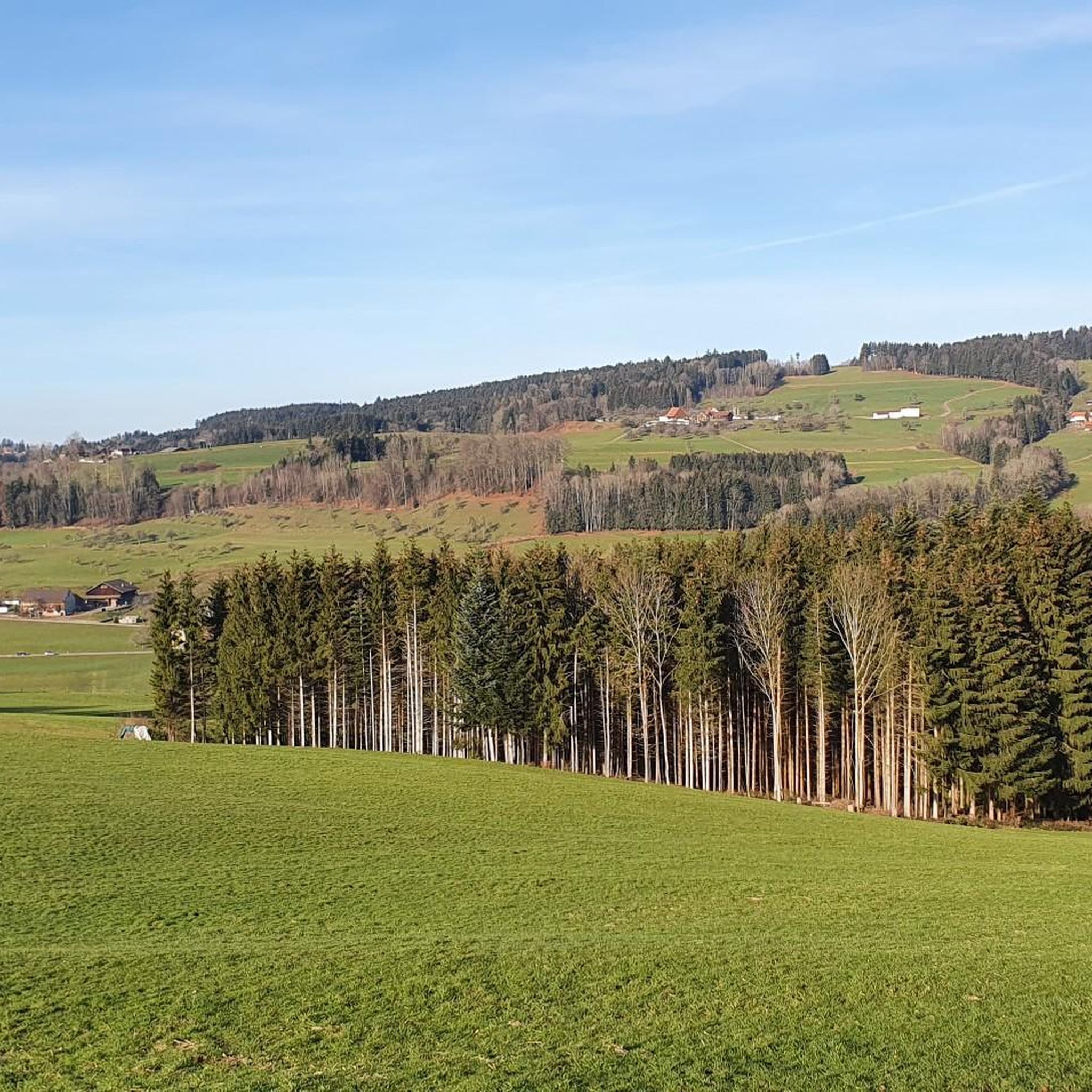
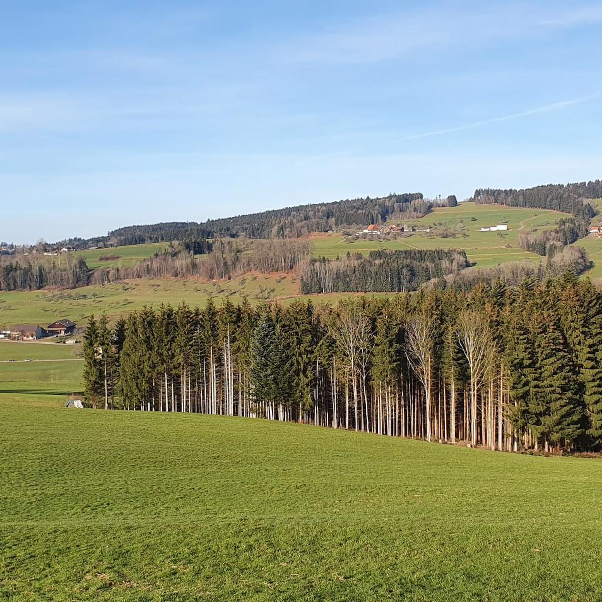
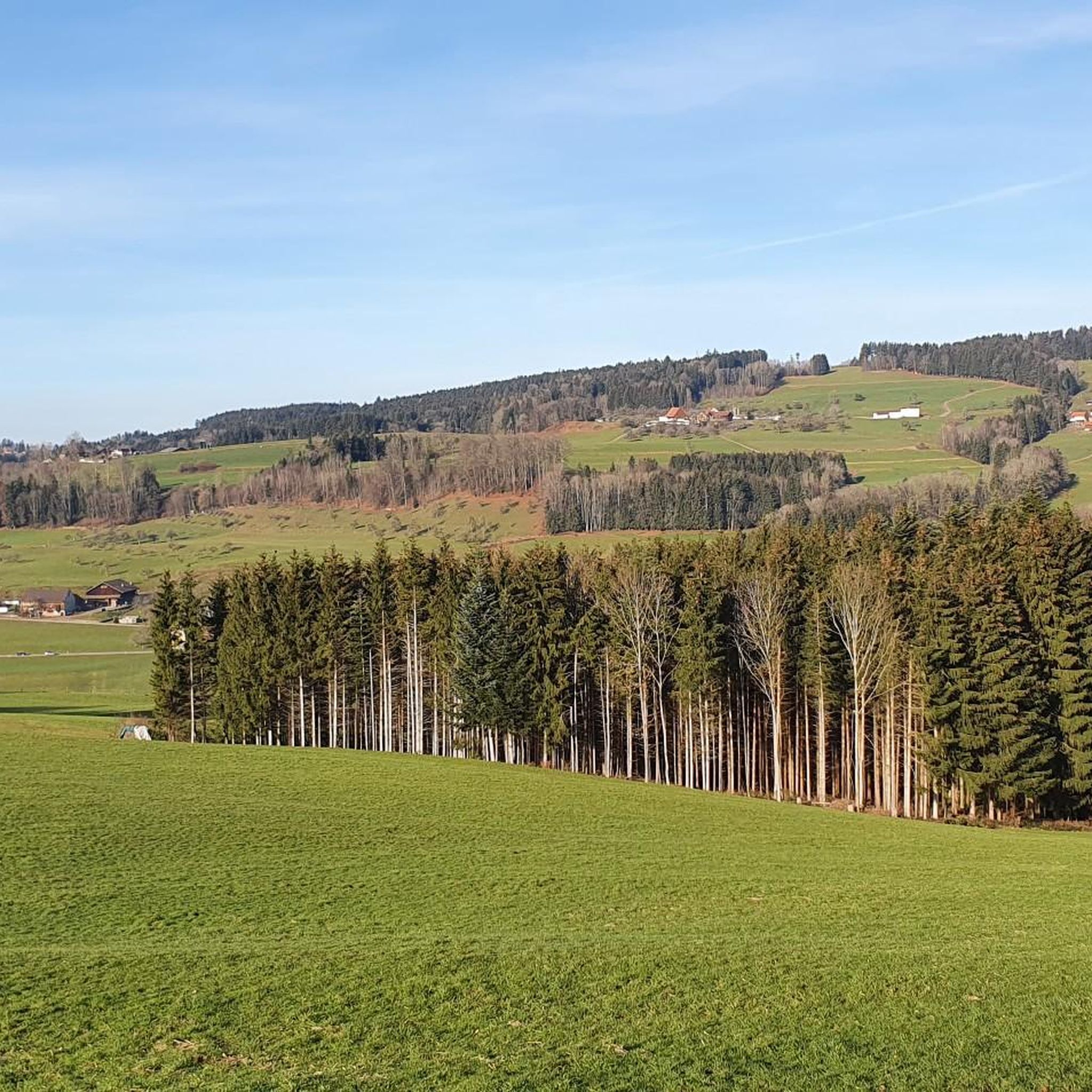
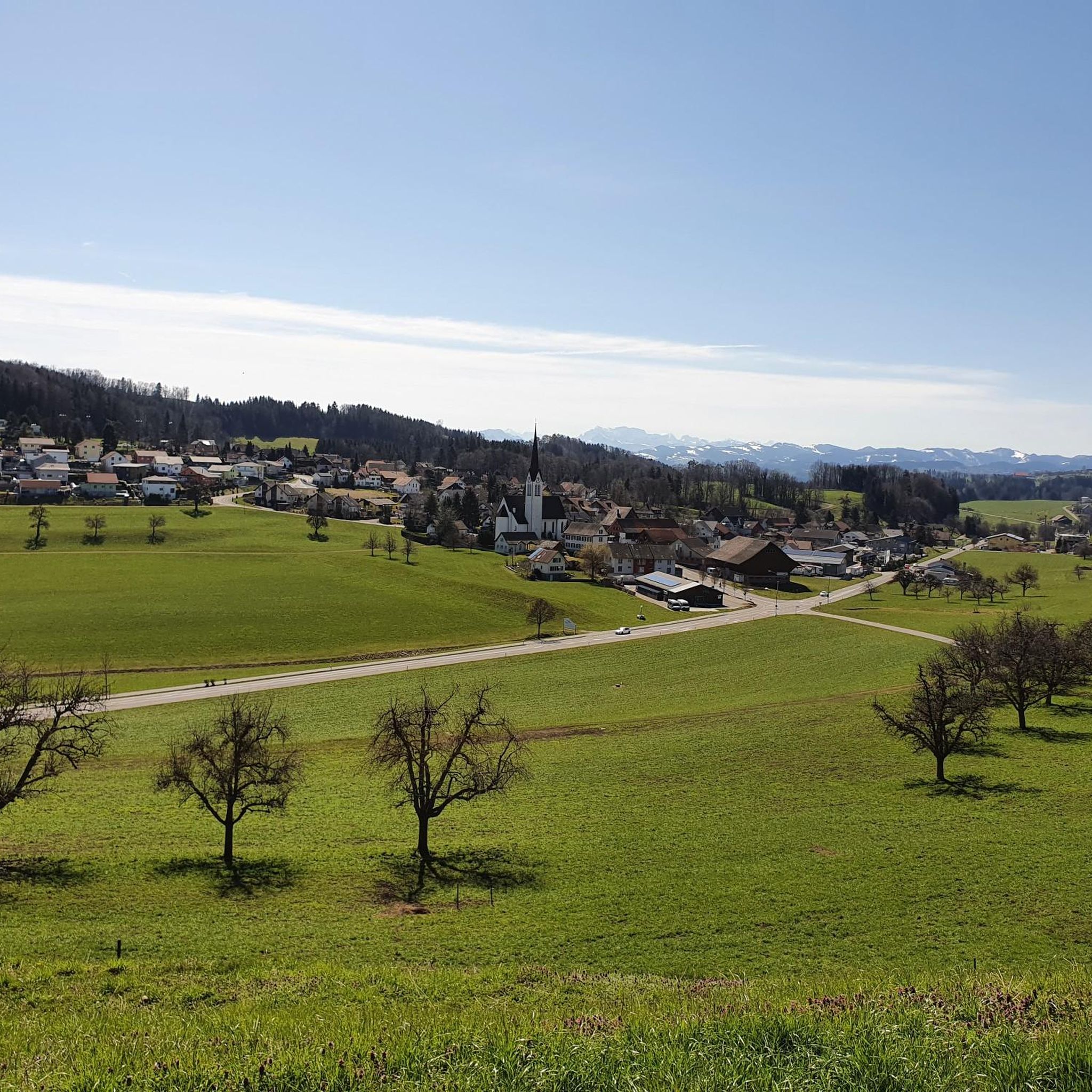
Jogging routes around Wuppenau, nestled in the canton of Thurgau, Switzerland, traverse a landscape characterized by rolling hills and lush greenery. The region's topography includes elevations such as Wuppenau at 616 meters, with nearby settlements like Grub (698m) and Hosenruck (712m) indicating a gently undulating terrain. Specific natural features like the Giessenfall Waterfall offer more rugged trail running experiences, while the Hauptwiler Weiher provides gentler, more accessible paths around the water. The area offers a network of paths suitable for…
Last updated: July 11, 2026
5.0
(5)
44
runners
10.0km
01:06
180m
180m
Moderate run. Good fitness required. Mostly paved surfaces. Suitable for all skill levels.
4.6
(10)
31
runners
5.84km
00:37
30m
30m
Moderate run. Good fitness required. Mostly paved surfaces. Suitable for all skill levels.

Sign up for free
15
runners
7.49km
00:47
60m
60m
Moderate run. Good fitness required. Mostly paved surfaces. Suitable for all skill levels.
10
runners
9.34km
00:59
90m
90m
Moderate run. Good fitness required. Mostly paved surfaces. Suitable for all skill levels.
9
runners
18.7km
02:07
220m
220m
Hard run. Very good fitness required. Mostly paved surfaces. Suitable for all skill levels.
Get access to more routes and recommendations from other explorers.
Sign up for free
Already have an account?
Our route recommendations are based on thousands of hikes, rides, and runs completed by other people on komoot.
Start today with a free account
Your next adventure awaits.
Login or Signup
Tips from the Community

Nice place for a barbecue etc.
0
0

Very nice bridge, several barbecue areas nearby
0
0

I often admire that in Switzerland. The lovely rest areas with grills and firewood. Hats off, very good👌👌👌
0
0


fortunately a transition over the Glatt.
0
0

Large shelter with table + benches, fountain, grill, ToiToi toilet, only wood I didn't see, otherwise super good.
2
0
Here the big Thurbrücke is the main road, not a trail.
2
0

Frequently Asked Questions
How many running trails can I explore around Wuppenau?
Wuppenau offers a vast network for runners, with over 490 jogging routes available. These routes cater to various fitness levels, ranging from easy paths to more challenging trails.
Are there running routes suitable for beginners or those looking for an easy run?
Yes, Wuppenau has options for all levels. There are 20 easy running routes, perfect for beginners or those seeking a relaxed jog. Many of these traverse the region's rolling hills and lush greenery, offering a pleasant experience.
What kind of terrain can I expect on the jogging routes in Wuppenau?
The terrain around Wuppenau is characterized by rolling hills and lush greenery, with elevations ranging from 616 meters in Wuppenau itself to over 700 meters in nearby settlements. You'll find a mix of mostly paved surfaces and accessible paths, with some more rugged, trail-like sections, especially near natural features like the Giessenfall Waterfall.
Are there any running routes that feature waterfalls or other natural attractions?
Absolutely! For a more adventurous trail running experience, consider routes that lead to the Giessenfall Waterfall on the Giessenbach. Be aware that the path to it is quite steep, narrow, and can be wet, making it ideal for those seeking a rugged run. For a gentler option, the Hauptwil Pond offers serene lakeside paths.
Can I find circular running routes in the Wuppenau area?
Yes, many of the running routes around Wuppenau are designed as loops, offering convenient circular paths. For example, the popular Running loop from Zuzwil SG is a moderate 9.3 km trail that allows you to start and finish at the same point.
What do other runners say about the trails in Wuppenau?
The running routes in Wuppenau are highly rated by the komoot community, with an average score of 4.2 stars from over 200 reviews. More than 4,700 runners have used komoot to explore the varied terrain, often praising the scenic views and the diverse options for different fitness levels.
Are there any longer, more challenging running trails for experienced runners?
Yes, for experienced runners seeking a greater challenge, Wuppenau offers several difficult routes. One notable option is the View of the River Thur – Thur River Trail loop from Zuzwil SG, which is an 18.7 km trail with significant elevation changes, providing a demanding yet rewarding experience.
What are some interesting landmarks or sights I might encounter while jogging in the region?
Beyond natural features, the region offers historical and cultural sights. You might pass by the Magdenau Cistercian Abbey, known as a crossing point for various outdoor tours, or the charming Old Town Bischofszell. The Thur Suspension Bridge near Thurau also offers a unique point of interest.
Are there any running routes that offer particularly scenic views?
Many routes provide beautiful vistas of the Thurgau landscape. The Forest Run – Scenic Viewpoint loop from Zuzwil SG is specifically highlighted for its pleasant forest run and a dedicated scenic viewpoint along its course, perfect for enjoying the rolling hills.
Is it possible to find running routes that are easily accessible by public transport?
While specific public transport connections to trailheads vary, the broader Bezirk Weinfelden area, where Wuppenau is located, has a network of established paths. Many routes start from villages like Zuzwil SG or Zuckenriet, which may have public transport links. It's advisable to check local transport schedules for the starting points of your chosen routes.
Are there any facilities like huts or barbecue spots along the running trails?
Yes, the area around Wuppenau features several outdoor facilities. You can find places like the Winkel Hut in the Hohrain Forest or the Lommiswald barbecue hut. Some even offer amenities like a grill, fountain, and toilet, providing convenient rest stops during your run.
What is the best time of year for jogging in Wuppenau?
Wuppenau's landscape of rolling hills and lush greenery makes it enjoyable for jogging throughout much of the year. Spring and autumn offer pleasant temperatures and vibrant scenery. Summer provides longer daylight hours, while winter can offer unique, crisp running conditions, though some more rugged trails might be slippery or require appropriate gear.
Most popular attractions around Wuppenau

Get inspired with the komoot mobile app


Explore more
Browse the best Running Trails & Routes in other regions.
