The best walks and hikes around Saint-Cernin-De-Larche
4.7
(229)
1,489
hikers
15
hikes
Hiking around Saint-Cernin-De-Larche offers diverse landscapes, from the scenic Dordogne Valley to the distinctive limestone plateau of the Causse Corrézien. The region features a mix of forests, open moors, and tranquil meadows, with the Lac du Causse providing a focal point for many routes. Trails traverse varied terrain, including gentle paths along the lake and more challenging ascents through the surrounding hills.
Best hiking trails around Saint-Cernin-De-Larche
- The most popular hiking route is La Vierge Fournet – Lac du Causse…
Last updated: July 2, 2026
4.7
(10)
33
hikers
11.6km
03:15
220m
220m
Moderate hike. Good fitness required. Easily-accessible paths. Suitable for all skill levels.
4.8
(4)
37
hikers
19.9km
05:36
400m
400m
Hard hike. Very good fitness required. Easily-accessible paths. Suitable for all skill levels.

Sign up for free
4.6
(8)
19
hikers
11.1km
03:13
270m
270m
Moderate hike. Good fitness required. Easily-accessible paths. Suitable for all skill levels.
5.0
(3)
16
hikers
12.8km
03:30
200m
200m
Moderate hike. Good fitness required. Easily-accessible paths. Suitable for all skill levels.
5.0
(2)
3
hikers
Easy hike. Great for any fitness level. Easily-accessible paths. Suitable for all skill levels.
Get access to more routes and recommendations from other explorers.
Sign up for free
Already have an account?
Our route recommendations are based on thousands of hikes, rides, and runs completed by other people on komoot.
Start today with a free account
Your next adventure awaits.
Login or Signup

Tips from the Community

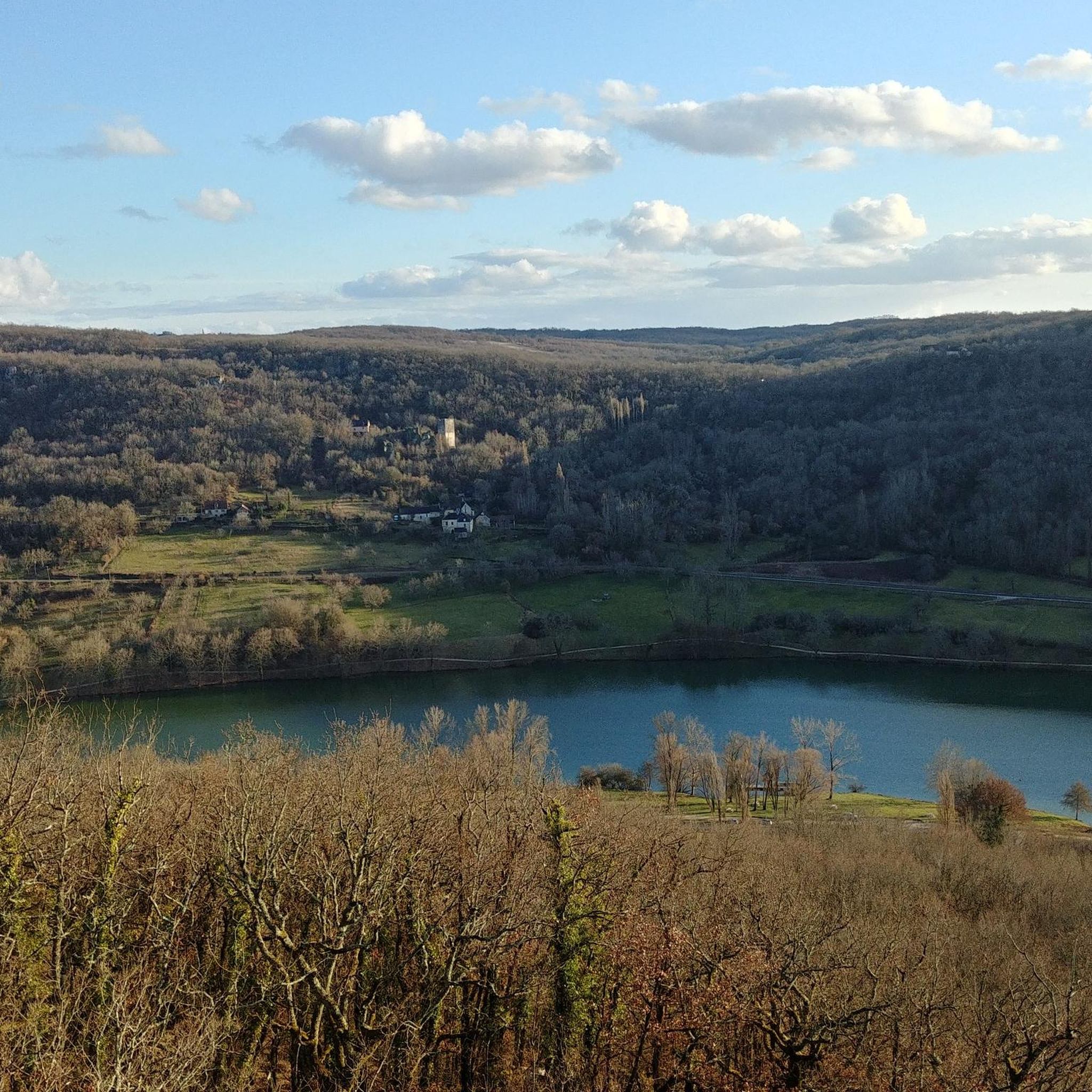
⛪️ The church of Chasteaux offers one of the most beautiful views of the Causse lake, a true natural jewel of Corrèze.
0
0
While digging the tunnel, workers pierced a natural pocket of water with no outlet. This caused sudden flooding of the construction site, forcing the workers to flee. Once the water was drained, they discovered a cave decorated with stalactites in the tunnel vault. Unfortunately, this cave was ransacked by locals who salvaged the concretions to build an altar that was visible for a long time in the church of the nearby village of Larche.
0
0
🥾 The GR® de Pays du Causse Corrézien is a 48 km hiking loop located south of Brive-la-Gaillarde, in the Corrèze department. It's a route that immerses hikers in the soul of the Causse: limestone landscapes, hilltop villages, dry stone walls, and spectacular viewpoints.
0
0
🌾 The hamlet of Soulier, located in the commune of Chasteaux in Corrèze, is a small rural gem nestled in the heart of the Causse Corrèze. This discreet but charming place is often cited as an ideal starting point for exploring Mount Pelée and its surroundings.
0
0
🌿 The Moulin du Soulier, located in the hamlet of the same name near Chasteaux in Corrèze, is a small treasure of rural heritage nestled in the heart of the Corrèze causse. Although little officially documented, it is mentioned as a place to explore in the vicinity of the Causs lake
0
0
An old water mill: typical of the Causse valleys, powered by a stream or a diversion from the Causse lake.
0
0
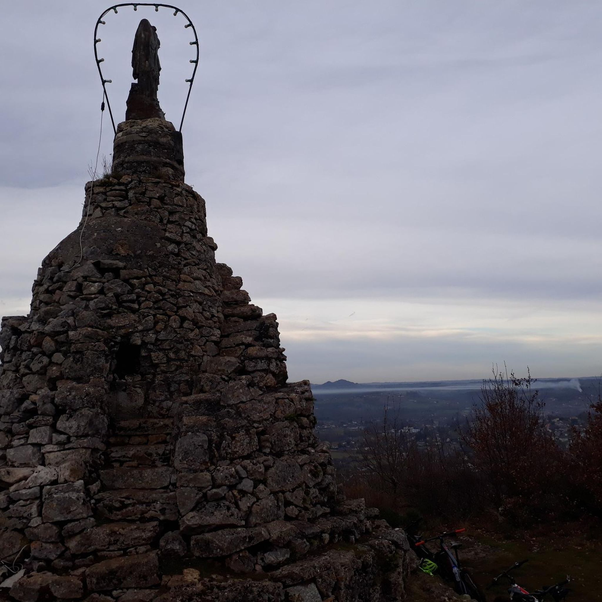
🪨 The dry stone walls on Mount Pelée (Corrèze) are much more than just landscape features: they are silent witnesses to ancestral know-how and a deeply rooted rural history. 🧱 Their role and origins: Delimitation of agricultural plots: These walls were used to mark the boundaries between plots of land, often used for growing vines or raising livestock. Clearing stones from fields: Stones extracted from the limestone soils of the Causse were reused to build these walls, preventing them from interfering with crops. Erosion protection: On the steep slopes of Puy Lagar, the walls stabilize the soil and limit runoff. Habitat for biodiversity: They shelter discreet microfauna (lizards, insects, mosses, lichens) and contribute to the ecological balance of the Causse.
0
0

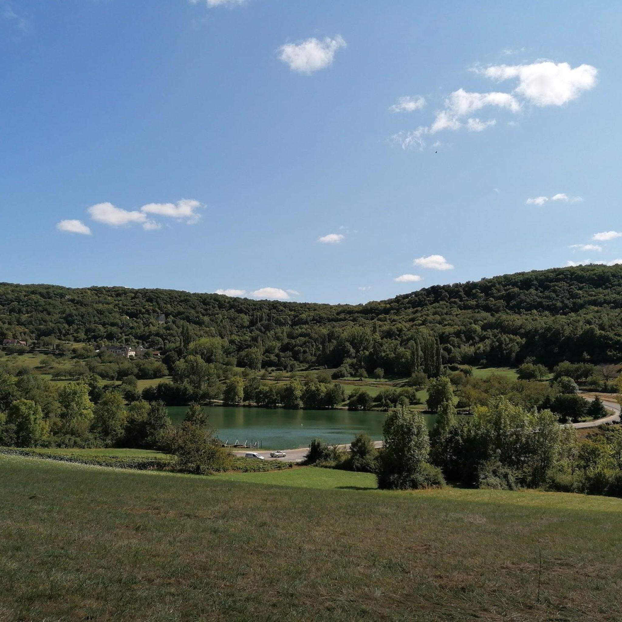
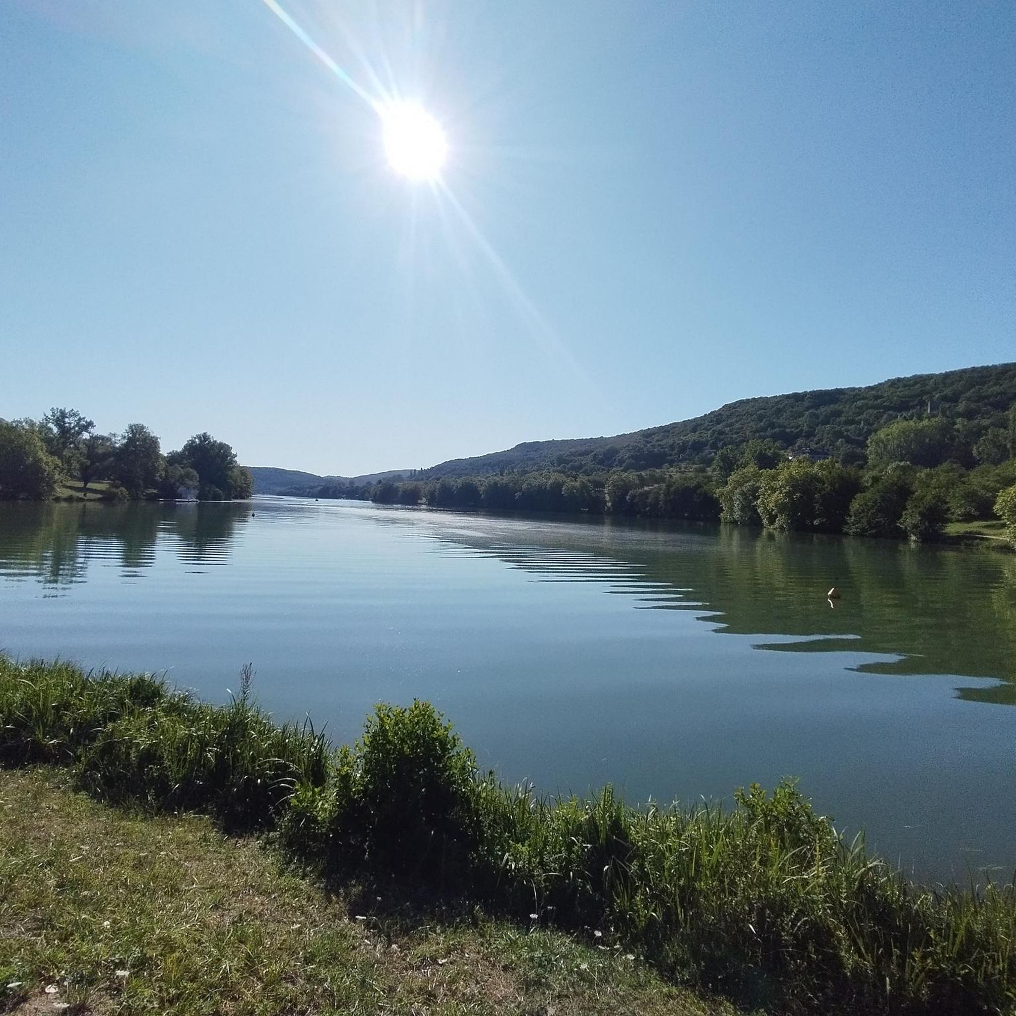
Why Visit Lac du Causse? For its varied activities: Whether you are a fan of water sports, hiking, fishing or simply looking for a place to relax, the lake offers a multitude of possibilities. For its natural setting: The picturesque landscape around the lake, with its green hills and typical villages, makes it an ideal place for a nature getaway. For a family outing: With its developed beaches, accessible trails and leisure facilities, Lac du Causse is a perfect destination for a family day or weekend. Lac du Causse is a natural jewel of Corrèze, perfect for a sporty or relaxing getaway in the heart of nature, while discovering the local heritage.
1
0
Frequently Asked Questions
What kind of terrain can I expect on hikes around Saint-Cernin-de-Larche?
The region offers a diverse range of landscapes. You'll find trails winding through the scenic Dordogne Valley, across the distinctive limestone plateau of the Causse Corrézien, and through lush forests, open moors, and tranquil meadows. Many routes also feature paths along the beautiful Lac du Causse.
Are there any easy hiking trails suitable for beginners or casual walkers?
Yes, Saint-Cernin-de-Larche has several easy routes. For a gentle stroll, consider the Étang de Chasteau – Lac du Causse loop, which is about 4.8 km (3 miles) long and takes just over an hour to complete, offering pleasant views near Lac du Causse.
What natural features or landmarks can I see while hiking in the area?
Hikers can explore a variety of natural and historical features. The prominent Lac du Causse is a focal point for many routes. You might also encounter the unique landscapes of the Causse Corrézien with its dry stone walls, or discover small Romanesque chapels and castle ruins. The Lake du Causse and Étang de Chasteau are notable natural attractions.
Are there any circular hiking routes available?
Yes, many trails around Saint-Cernin-de-Larche are circular, allowing you to start and end at the same point. Examples include the moderate La Vierge Fournet – Lac du Causse loop and the more challenging Moulin du soulier – hameau du soulier loop.
What is the best time of year to go hiking in Saint-Cernin-de-Larche?
The region is enjoyable for hiking across multiple seasons. Spring and autumn offer pleasant temperatures and vibrant natural colors, while summer is ideal for combining hikes with activities at Lac du Causse. The varied landscapes ensure there's beauty to be found throughout the year.
Are there family-friendly hiking options in Saint-Cernin-de-Larche?
Yes, there are several routes suitable for families. The easier trails, such as the Étang de Chasteau – Lac du Causse loop, are generally well-suited for families looking for a shorter, less strenuous walk with scenic views.
Can I bring my dog on the hiking trails?
Many trails in the Saint-Cernin-de-Larche area are dog-friendly, but it's always recommended to keep your dog on a leash, especially in nature reserves, agricultural areas, or when encountering livestock. Always check local signage for specific rules on individual routes.
Where can I find parking for hiking trailheads?
Parking is generally available near popular trailheads, particularly around the Lac du Causse and in the village of Saint-Cernin-de-Larche. Specific parking information can often be found on individual route descriptions or local tourist information boards.
What do other hikers enjoy most about the trails in Saint-Cernin-de-Larche?
The area is highly rated by the komoot community, with an average score of 4.6 stars. Reviewers often praise the diverse landscapes, from the tranquil lake views to the challenging forest paths, and the well-maintained nature of the trails.
Are there any long-distance hiking opportunities in the region?
For those seeking longer excursions, the GR® de Pays du Causse Corrézien is a notable option. This 48 km loop showcases the distinctive features of the limestone plateau, offering a multi-hour or multi-day hiking experience.
Are there any historical sites or points of interest along the routes?
Yes, many routes allow hikers to delve into the region's history. You might pass by small Romanesque chapels, castle ruins, and even Gallo-Roman sites, offering a glimpse into the past amidst the natural beauty.
What is the typical elevation gain on hikes in this area?
Elevation gain varies significantly depending on the trail's difficulty. Easy routes like the Étang de Chasteau – Lac du Causse loop have minimal elevation changes (around 12 meters). Moderate trails, such as the Notre-Dame du Fournet – Lac du Causse loop, can have over 340 meters of ascent, while difficult routes like the Moulin du soulier – hameau du soulier loop can feature nearly 400 meters of elevation gain.
Most popular routes around Saint-Cernin-De-Larche
Most popular attractions around Saint-Cernin-De-Larche

Get inspired with the komoot mobile app


Explore more
Browse the best Hikes in other regions.
