The best mountain hikes around Lercoul
4.9
(7)
47
hikers
9
hikes
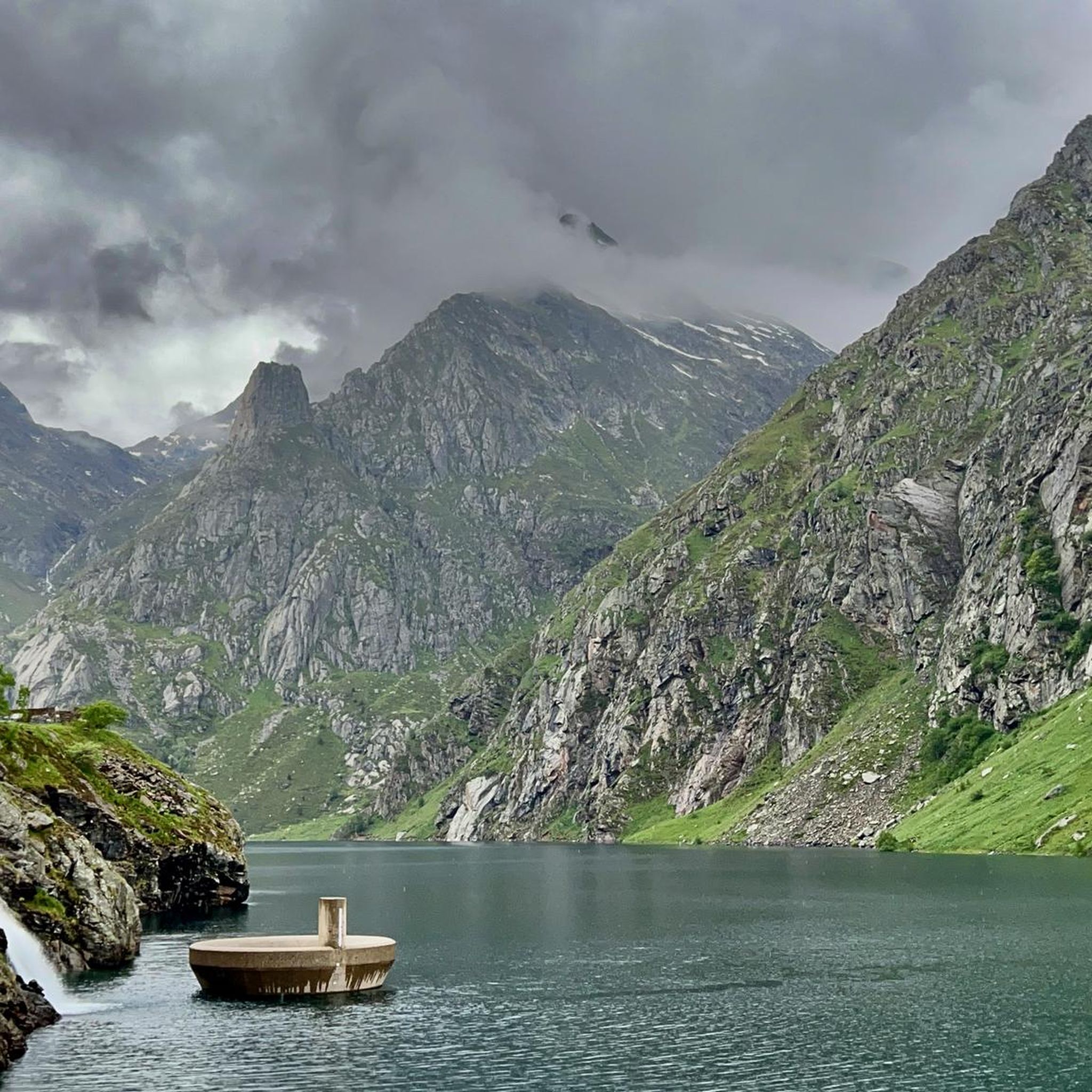
Mountaineering routes around Lercoul are situated in the high Pyrenees, within the Ariège department of the French Midi-Pyrénées region, offering direct access to challenging mountain terrain. The area is characterized by rugged Pyrenean geology, steep slopes, and dramatic landscapes, with the village itself at approximately 1,120 meters elevation. This elevated position provides access to significant peaks and high-altitude exploration opportunities. The region features diverse rock formations, deep valleys, and notable mountain lakes, making it a compelling destination for experienced mountaineers.
…Last updated: May 23, 2026
8
hikers
Moderate mountaineering route. Good fitness required. Mostly accessible paths. Sure-footedness required.
5.0
(1)
8
hikers
8.83km
04:10
700m
700m
Moderate mountaineering route. Good fitness required. Mostly accessible paths. Sure-footedness required.

Sign up for free
6
hikers
10.2km
05:06
830m
830m
Hard mountaineering route. Very good fitness required. Mostly accessible paths. Sure-footedness required.
5.0
(2)
6
hikers
14.2km
07:30
1,290m
1,290m
Hard mountaineering route. Very good fitness required. Sure-footedness, sturdy shoes and alpine experience required.
4.5
(2)
6
hikers
7.13km
02:45
490m
480m
Moderate mountaineering route. Good fitness required. Mostly accessible paths. Sure-footedness required.
Get access to more routes and recommendations from other explorers.
Sign up for free
Already have an account?
Our route recommendations are based on thousands of hikes, rides, and runs completed by other people on komoot.
Start today with a free account
Your next adventure awaits.
Login or Signup

Other adventures around Lercoul

Tips from the Community

When is the price per person per night?
0
0

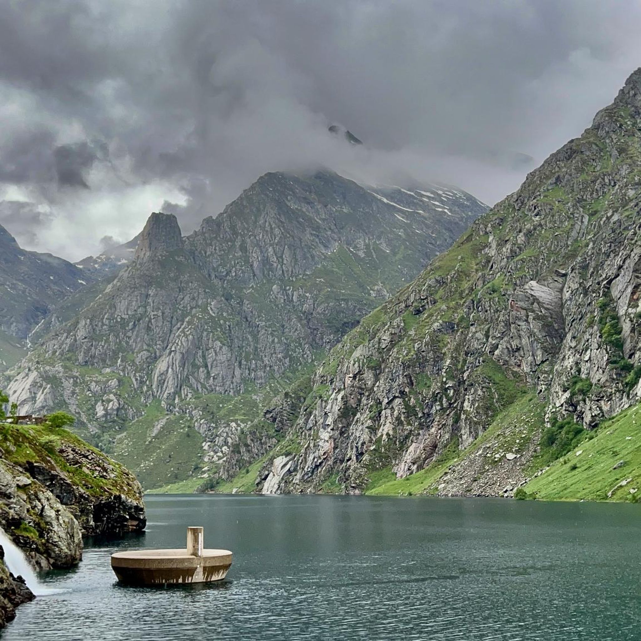
A scenic parking lot above the reservoir. From here, you can start a variety of hikes and mountain tours, including the shortest (but challenging T4) ascent to the Pica d'Estats, Montcalm, and Pic de l'Étang Fourcat. However, in good weather and on weekends, this spot is very busy, so even the plentiful parking spaces are limited. Mountaineers who want to avoid this should set off early.
2
0

The river originates in the heights of the Comapedrosa area, at a considerable altitude, and descends through a steep valley, contributing to the Arinsal River. The waterfall is one of the most impressive in the region, with a waterfall that, although not extremely high, is known for its beauty and the force of the water, especially in spring, when the thaw feeds the river flow. The waterfall is located at an altitude of approximately 1,800 meters above sea level and is accessible through hiking routes that start from Arinsal or the Pla del Estany Refuge.
0
0
From the usual starting point in Arinsal, the route to the Pla del Estany Refuge covers approximately 4 kilometres of ascent. The route has a positive gradient of about 500 metres, which makes it quite demanding, especially in the final sections. The lake is located at an altitude of approximately 2,056 metres above sea level. It is a relatively small lake, with a modest surface area, suitable for enjoying the serenity of the surrounding mountain landscape.
0
0
The Refugi del Pla de l'Estany is an unguarded refuge, meaning there is no permanent staff on site. It is a simple stone construction that offers basic accommodation for hikers, sleeping around 6 to 8 people. It has bunk beds, but no amenities such as electricity, running water or food, so it is necessary to bring everything necessary for the stay. This refuge is mainly used as a resting point for hikers on multi-day routes in the area, or as a base for ascending Comapedrosa. It is an ideal place for those looking to enjoy nature in its purest state and the tranquility of the high mountains.
0
0

Beautiful cabin used for livestock farming, with a vegetal roof created by means of a lowered vault.
0
0

One of the best refuges I have visited, very clean facilities, if you want you can have lunch, they have a very correct menu. Very well equipped terrace to rest in the shade, with spectacular views of Parc de Sorteny. We arrived by taking a nice walk with the children from the Zone where you can leave the car.
0
0

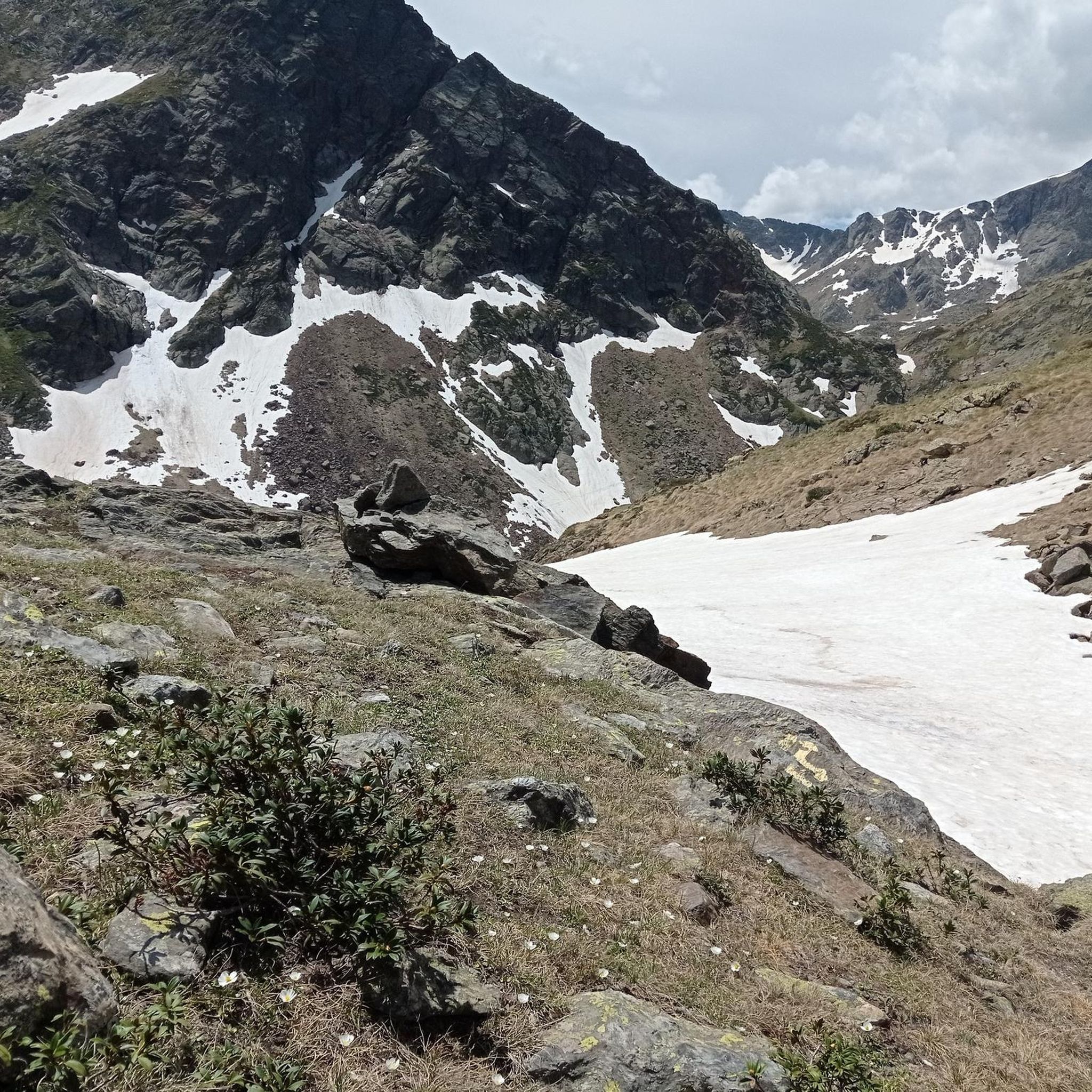
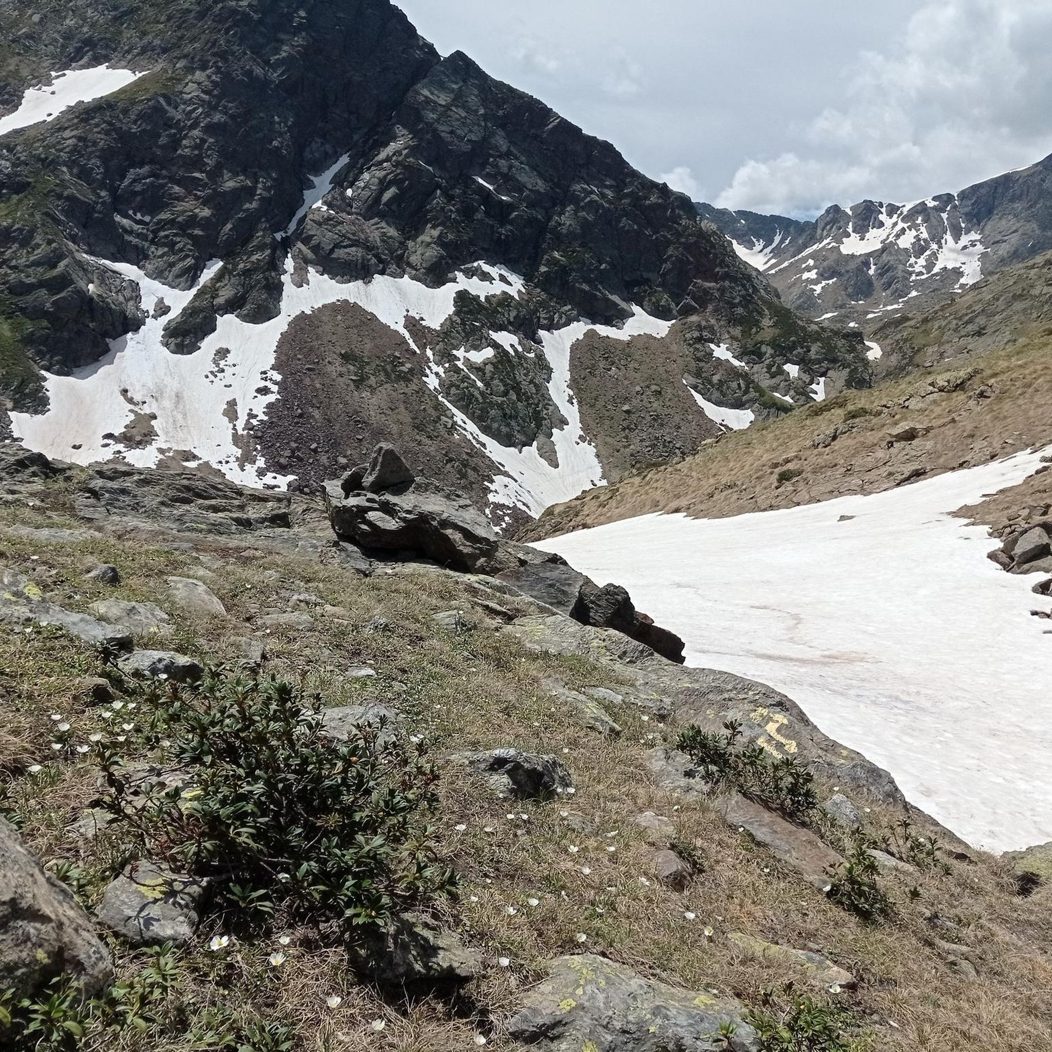
A meadow with small meltwater ponds surrounded by mountain peaks.
0
0
Frequently Asked Questions
What kind of terrain can I expect on mountaineering routes around Lercoul?
Mountaineering routes in the Lercoul area are characterized by rugged Pyrenean geology, steep slopes, and dramatic landscapes. You'll encounter diverse rock formations, dense forests, and high-altitude terrain, often leading to majestic peaks and serene mountain lakes.
Are there any moderate mountaineering routes suitable for those building experience?
Yes, Lercoul offers several moderate mountaineering routes. For example, the Pla de l'Estany Mountain Lake – Comapedrosa Tunnel Entrance loop from Arinsal is a moderate 8.6 km route, typically completed in under 4 hours. Another option is the Comapedrosa Tunnel Entrance – Coma Pedrosa Hut loop from Arinsal, which is 8.8 km long and also rated moderate.
What are some challenging mountaineering routes in the Lercoul region?
For experienced mountaineers seeking a challenge, the Lercoul area provides several difficult routes. The Pic Verdaguer – Pica d'Estats Summit loop from L'Artigue is a demanding 20 km path leading to one of the highest peaks in the Pyrenees. Another difficult option is the Artiga de Lin Waterfall – Estany Negre loop from Arinsal, a 14.7 km route with significant elevation gain.
Are there any circular mountaineering routes around Lercoul?
Yes, many of the mountaineering routes in the Lercoul area are designed as loops, allowing you to start and finish at the same point. Examples include the challenging Étang d'Artax – Roc de Querquéou loop from Gourbit and the moderate Pla de l'Estany Mountain Lake – Comapedrosa Tunnel Entrance loop from Arinsal.
What kind of natural features or landmarks can I expect to see along the routes?
The Lercoul area is rich in natural beauty. You can expect to encounter towering Pyrenean peaks, serene mountain lakes, and crystal-clear granite pools. Some routes also pass by impressive waterfalls. Additionally, you might explore notable mountain passes like Meners Pass or Coll d'Arinsal Summit, and deep valleys such as Gardelle Valley.
What do other mountaineers say about the routes in Lercoul?
The mountaineering routes around Lercoul are highly regarded by the komoot community, holding an average rating of 4.8 stars from over 10 reviews. Users frequently praise the dramatic Pyrenean landscapes, the challenging ascents, and the stunning high-altitude views encountered on these trails.
Are there any gorges or canyons to explore near Lercoul?
Yes, the region around Lercoul features several impressive gorges and canyons. You can discover areas like the Gardelle Valley or the Soulcem Valley, which offer unique natural scenery. The Rialb River also flows through a notable gorge.
What is the best time of year for mountaineering in Lercoul?
Given its high-altitude Pyrenean setting, the best time for mountaineering in Lercoul is typically during the warmer months, from late spring to early autumn. This period offers more stable weather conditions and less snow cover, making high-altitude routes more accessible. However, always check local weather forecasts and trail conditions before heading out.
Are there opportunities for significant elevation gain on routes in Lercoul?
Absolutely. Lercoul is known for its challenging ascents and significant elevation gains, making it ideal for mountaineering. Routes like the Pic Verdaguer – Pica d'Estats Summit loop from L'Artigue feature nearly 2000 meters of elevation gain, providing a strenuous workout and rewarding views.
How many mountaineering routes are available in the Lercoul area?
There are approximately 12 mountaineering routes detailed for the Lercoul area, catering to both moderate and difficult skill levels. This network provides ample opportunities for exploring the rugged Pyrenean terrain.
Are there any caves or historical sites near the mountaineering trails?
While not directly on the mountaineering trails themselves, the broader region around Lercoul is home to significant natural and historical sites. These include the famous Lombrives Cave, Grotte de Lombrives, and Niaux Cave, which offer insights into natural scenery and prehistoric heritage.
Most popular attractions around Lercoul

Get inspired with the komoot mobile app


Explore more
Browse the best Mountain Hikes & Routes in other regions.
