The best mountain hikes around Auzat
4.9
(7)
58
hikers
11
hikes
Mountaineering around Auzat is characterized by its challenging high-alpine terrain within the Pyrenees, featuring prominent peaks and deep valleys. The region offers a landscape of rugged summits, pristine mountain lakes, and steep ascents. These routes often traverse rocky paths and exposed ridges, providing a true mountaineering experience.
Best mountaineering routes around Auzat
- The most popular mountaineering route is Artiga de Lin Waterfall – Estany Negre loop from Arinsal, a 9.1 miles (14.7 km) trail that takes 7 hours 49…
Last updated: July 4, 2026
8
hikers
Moderate mountaineering route. Good fitness required. Mostly accessible paths. Sure-footedness required.
5.0
(1)
8
hikers
8.83km
04:10
700m
700m
Moderate mountaineering route. Good fitness required. Mostly accessible paths. Sure-footedness required.

Sign up for free
6
hikers
10.0km
05:02
820m
820m
Hard mountaineering route. Very good fitness required. Mostly accessible paths. Sure-footedness required.
6
hikers
8.88km
04:15
620m
620m
Hard mountaineering route. Good fitness required. Sure-footedness, sturdy shoes and alpine experience required.
5.0
(2)
6
hikers
14.2km
07:30
1,290m
1,290m
Hard mountaineering route. Very good fitness required. Sure-footedness, sturdy shoes and alpine experience required.
Get access to more routes and recommendations from other explorers.
Sign up for free
Already have an account?
Our route recommendations are based on thousands of hikes, rides, and runs completed by other people on komoot.
Start today with a free account
Your next adventure awaits.
Login or Signup
Popular around Auzat

GR 10 – Explore the Ariège Pyrenees crossing the Pyrenees

Panoramic Pyrenees – 15 hikers' peaks of over 3,000 metres

On wild ridges: Catalonia to Ariège – Hexatrek, Eastern Pyrenees

Hiking to the summits – France's highest points
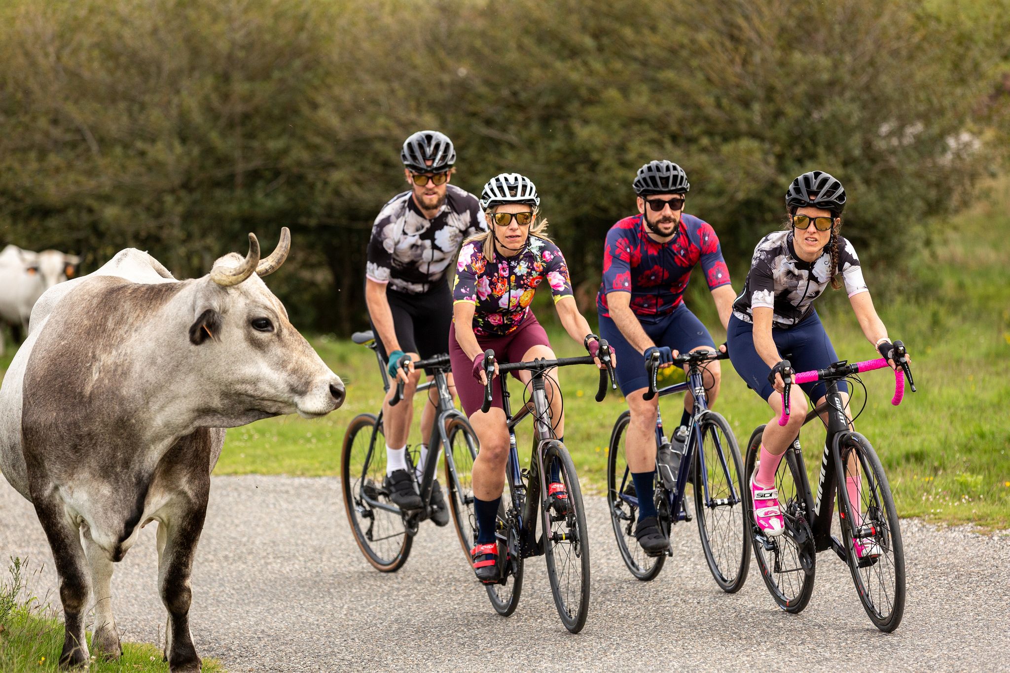
16 itinéraires cyclo incontournables Ariège Pyrénées
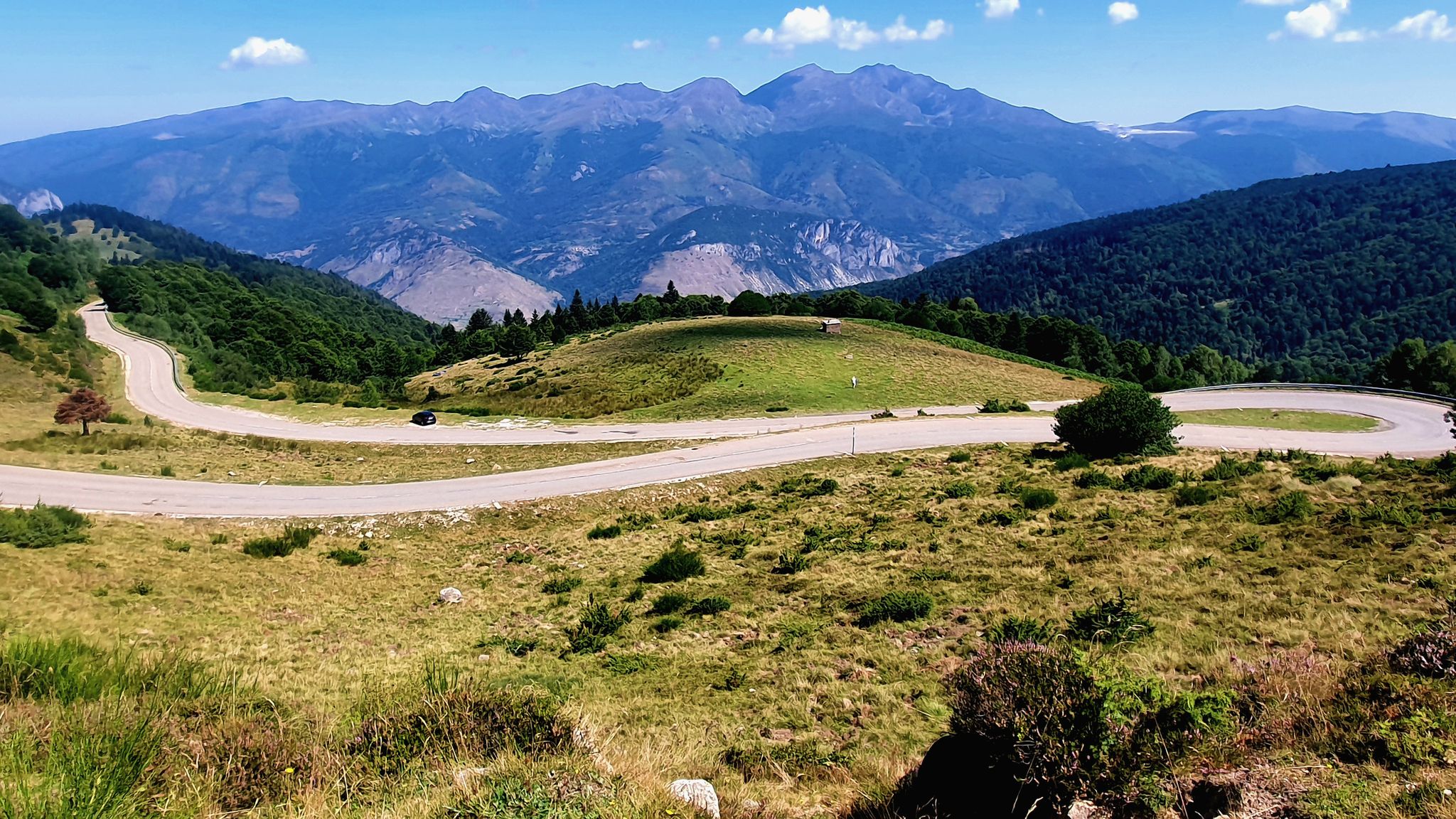
Le Cyclotour de l'Ariège
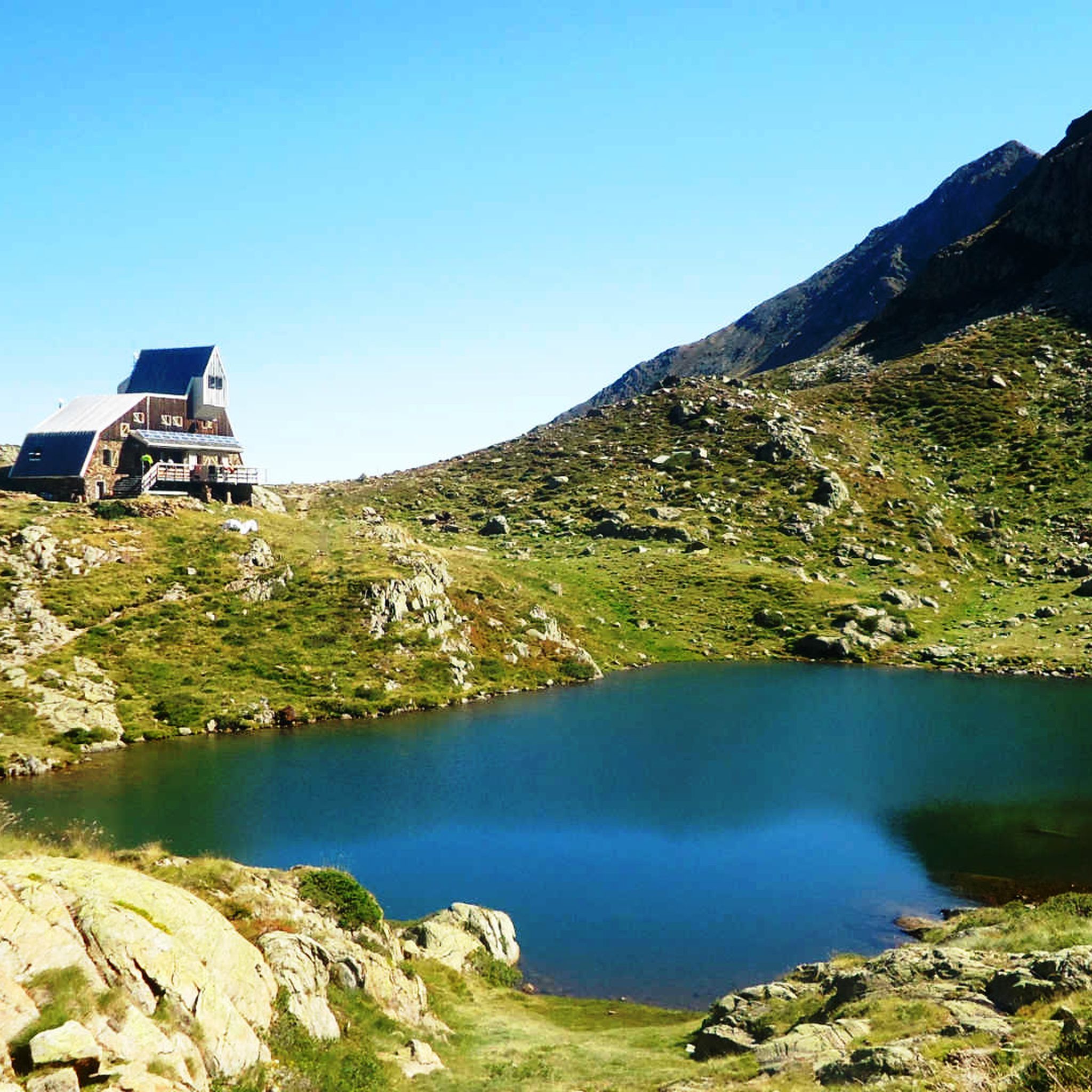
Hiking around Auzat
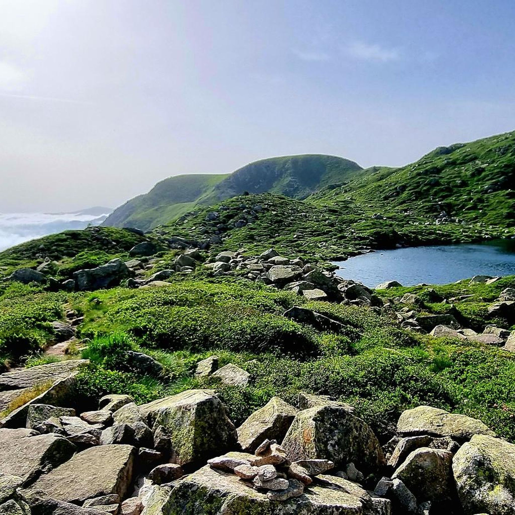
Road Cycling Routes around Auzat
Running Trails around Auzat
Cycling around Auzat
Other adventures around Auzat


Tips from the Community

The refuge offers accommodation and catering. Friendly hosts and reasonable prices.
1
0

When is the price per person per night?
0
0

Perhaps not the most comfortable bench, but a very photogenic one made of stone in a beautiful spot. During the season and on weekends when the weather is nice, the parking lot gets busy... Starting point for many different hiking and mountain tours. Please open the image for portrait format.
2
0
A scenic parking lot above the reservoir. From here, you can start a variety of hikes and mountain tours, including the shortest (but challenging T4) ascent to the Pica d'Estats, Montcalm, and Pic de l'Étang Fourcat. However, in good weather and on weekends, this spot is very busy, so even the plentiful parking spaces are limited. Mountaineers who want to avoid this should set off early.
2
0

The river originates in the heights of the Comapedrosa area, at a considerable altitude, and descends through a steep valley, contributing to the Arinsal River. The waterfall is one of the most impressive in the region, with a waterfall that, although not extremely high, is known for its beauty and the force of the water, especially in spring, when the thaw feeds the river flow. The waterfall is located at an altitude of approximately 1,800 meters above sea level and is accessible through hiking routes that start from Arinsal or the Pla del Estany Refuge.
0
0
From the usual starting point in Arinsal, the route to the Pla del Estany Refuge covers approximately 4 kilometres of ascent. The route has a positive gradient of about 500 metres, which makes it quite demanding, especially in the final sections. The lake is located at an altitude of approximately 2,056 metres above sea level. It is a relatively small lake, with a modest surface area, suitable for enjoying the serenity of the surrounding mountain landscape.
0
0

Beautiful cabin used for livestock farming, with a vegetal roof created by means of a lowered vault.
0
0

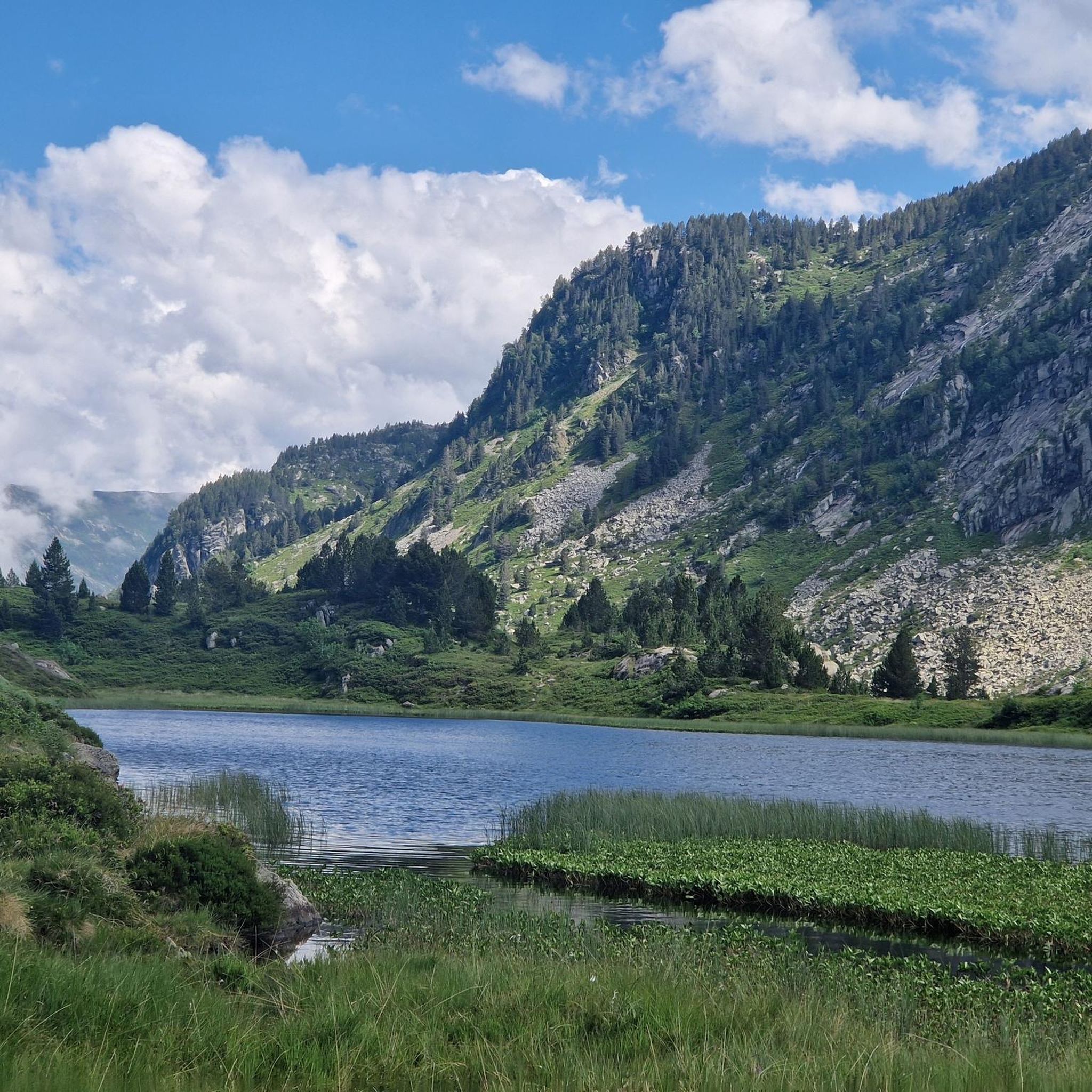
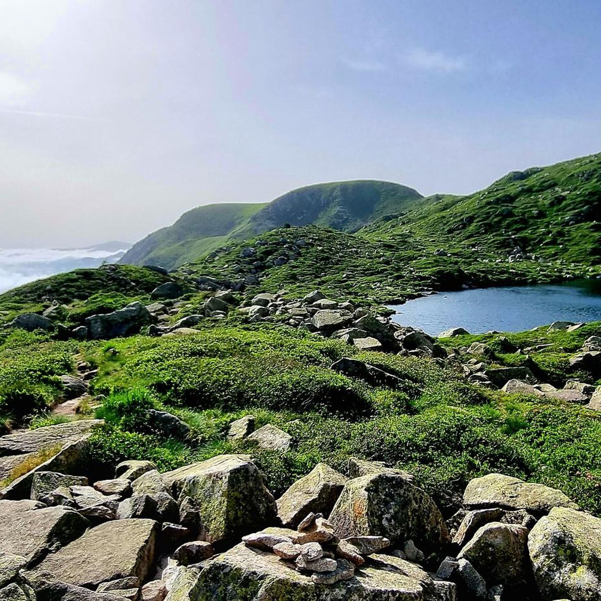
A meadow with small meltwater ponds surrounded by mountain peaks.
0
0
Frequently Asked Questions
How many mountaineering routes are available around Auzat?
There are 16 mountaineering routes documented around Auzat on komoot, offering a range of challenging high-alpine experiences.
Are there any mountaineering routes suitable for beginners or families in Auzat?
While most mountaineering routes around Auzat are classified as difficult, there are 4 moderate options available. For instance, the Pla de l'Estany Mountain Lake – Comapedrosa Tunnel Entrance loop from Arinsal is a moderate route that still offers a rewarding mountain experience.
What is the best time of year for mountaineering in Auzat?
The prime season for mountaineering in Auzat, given its high-alpine Pyrenean terrain, is typically from late spring through early autumn (June to September). During this period, snowmelt has usually receded from higher elevations, and weather conditions are generally more stable. Always check local weather forecasts and trail conditions before heading out.
Are there any circular mountaineering routes around Auzat?
Yes, many of the mountaineering routes in Auzat are designed as loops, allowing you to start and finish at the same point. Examples include the challenging Artiga de Lin Waterfall – Estany Negre loop from Arinsal, which features a stunning waterfall and a high-altitude mountain lake, or the Pic des Trois Seigneurs loop from Port de Lers.
Can I bring my dog on mountaineering routes in Auzat?
Regulations regarding dogs can vary, especially in protected high-alpine areas like parts of the Pyrenees. It's crucial to check specific park or reserve rules for each route. Generally, if dogs are permitted, they must be kept on a leash to protect local wildlife and ensure safety on exposed terrain.
What kind of wildlife can I spot while mountaineering in Auzat?
The Pyrenees are rich in biodiversity. While mountaineering, you might spot chamois, marmots, various birds of prey like griffon vultures and eagles, and if you're very lucky, perhaps even an ibex. Maintaining a respectful distance and quiet observation increases your chances.
Are there any interesting landmarks or attractions along the mountaineering routes or nearby?
Absolutely. The region is dotted with natural and historical points of interest. You can explore mountain passes like Agnès Pass or Lers Pass. The Pica d'Estats Summit – Pic Verdaguer loop from Refugi de Vallferrera offers expansive views from two major summits. You might also encounter refuges like Refuge Borda de Sorteny or visit the Sorteny Valley Botanical Garden.
Is parking available near the trailheads for mountaineering routes in Auzat?
For many popular mountaineering routes in the Auzat area, designated parking areas are available at or near the trailheads, especially at starting points like Port de Lers or L'Artigue. However, spaces can be limited during peak season, so arriving early is advisable. Always check local signage for any parking restrictions or fees.
Are permits required for mountaineering in the Auzat region?
Generally, permits are not required for standard mountaineering routes in the Auzat area of the Pyrenees. However, if you plan to enter specific protected natural parks or reserves, or if you intend to camp overnight in certain zones, specific regulations or permits might apply. It's always best to check with local park authorities for the most current information, especially for multi-day excursions.
What do other mountaineers enjoy most about the routes in Auzat?
The mountaineering routes around Auzat are highly rated by the komoot community, with an average score of 4.8 stars from over 19 reviews. Mountaineers frequently praise the challenging ascents, the stunning high-alpine landscapes, and the rewarding views from prominent peaks like those found on the Pic Verdaguer – Pica d'Estats Summit loop from L'Artigue.
Are there any cafes or refuges along the mountaineering routes for refreshments?
While full-service cafes are rare directly on high-alpine mountaineering routes, you will find mountain refuges (huts) in the region that often offer basic refreshments, meals, and overnight stays. For example, the Refuge Borda de Sorteny is one such facility. It's always recommended to carry sufficient water and snacks, as services can be sparse and seasonal.
Most popular attractions around Auzat

Get inspired with the komoot mobile app


Explore more
Browse the best Mountain Hikes & Routes in other regions.
