The best walks and hikes around Saint-Pierre-De-Rivière
4.5
(369)
2,500
hikers
101
hikes
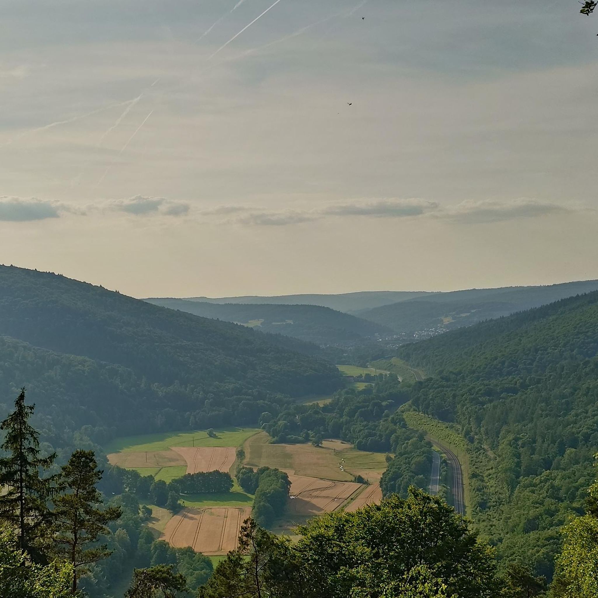
Hiking around Saint-Pierre-De-Rivière, situated at 350 meters above sea level in the Barguillère valley, provides access to diverse outdoor experiences within the Regional Natural Park of the Pyrenees Ariège. The area is characterized by varied landscapes including extensive forests, open moors, and panoramic views of the Pyrenees mountain range. Rivers and streams are also prevalent, contributing to the natural environment.
Best hiking trails in Saint-Pierre-De-Rivière
- The most popular hiking route is View of Foix loop from Ganac, a 10.6 miles (17.1 km) trail that takes 7 hours 20 minutes to complete. This difficult route offers expansive views of the Haute Ariège, Foix, and Tarascon-sur-Ariège.
- Another top favourite among local hikers is Hiking loop from Ganac, an easy 2.8 miles (4.5 km) path. This shorter route provides an accessible option for exploring the local scenery in about 1 hour 24 minutes.
- Local hikers also love the View of Foix loop from Ganac, a 4.6 miles (7.4 km) trail leading through varied terrain, often completed in about 2 hours 32 minutes.
- Hiking around Saint-Pierre-De-Rivière is defined by forested paths, open moors, and views of the Pyrenees, with routes available for easy walks, moderate excursions, and more challenging climbs.
- The routes in Saint-Pierre-De-Rivière are highly rated by the komoot community with an average score of 4.5 stars from over 300 reviews. More than 2000 hikers have used komoot to explore Saint-Pierre-De-Rivière's varied terrain.
Last updated: July 4, 2026
4.7
(7)
77
hikers
17.1km
07:19
1,070m
1,070m
Hard hike. Very good fitness required. Mostly accessible paths. Sure-footedness required.
3.0
(3)
19
hikers
4.49km
01:24
170m
170m
Easy hike. Great for any fitness level. Easily-accessible paths. Suitable for all skill levels.

Sign up for free
4.5
(2)
6
hikers
7.37km
02:32
370m
360m
Moderate hike. Good fitness required. Mostly accessible paths. Sure-footedness required.
8
hikers
15.9km
05:01
620m
620m
Hard hike. Very good fitness required. Easily-accessible paths. Suitable for all skill levels.
7
hikers
18.0km
08:29
1,240m
1,240m
Hard hike. Very good fitness required. Mostly accessible paths. Sure-footedness required.
Get access to more routes and recommendations from other explorers.
Sign up for free
Already have an account?
Our route recommendations are based on thousands of hikes, rides, and runs completed by other people on komoot.
Start today with a free account
Your next adventure awaits.
Login or Signup



Tips from the Community


Here we were almost alone. It's actually amazing because you can hike really nicely here and sometimes find fantastic views.
0
0
Frequently Asked Questions
How many hiking trails are there around Saint-Pierre-De-Rivière?
There are over 100 hiking trails available around Saint-Pierre-De-Rivière, catering to various skill levels. You'll find a good mix of easy strolls, moderate excursions, and challenging mountain climbs.
What kind of landscapes can I expect to see while hiking in this region?
The region offers diverse landscapes, from the picturesque Prat d'Albis and the foothills of the Pyrenees, providing panoramic mountain views, to dense forests like the Forêt Domaniale d'Alzen. You'll also encounter valleys and rivers, contributing to a rich natural environment.
Are there any easy hiking trails suitable for beginners or a relaxed walk?
Yes, for an easy and accessible option, consider the Hiking loop from Ganac. This 4.5 km path takes about 1 hour 24 minutes to complete and is perfect for exploring the local scenery at a leisurely pace.
Which trails offer the best panoramic views of the Pyrenees and surrounding areas?
For exceptional views, the View of Foix loop from Ganac (the longer, difficult version) offers expansive vistas of the Haute Ariège, Foix, and Tarascon-sur-Ariège. The ascent to Le Picou, mentioned in regional research, also provides stunning panoramas.
Are there any challenging hikes for experienced trekkers?
Absolutely. For a demanding adventure, the View of Foix loop from Ganac is a difficult 17.1 km trail with over 1000 meters of elevation gain, taking around 7 hours 20 minutes. Another challenging option is the Sarrat de la Pelade loop from Ganac, which is nearly 18 km long.
What do other hikers say about the trails in Saint-Pierre-De-Rivière?
The hiking trails in Saint-Pierre-De-Rivière are highly regarded by the komoot community, with an average rating of 4.5 stars from over 300 reviews. Hikers often praise the varied terrain, the beautiful forest paths, and the rewarding views of the Pyrenees.
Are there any circular walks available?
Yes, many routes in the area are designed as loops. For example, the Col de l'Homme loop from Serres-sur-Arget is a challenging 15.9 km circular route that takes you through varied terrain, including parts of the Forêt Domaniale d'Alzen.
What historical or natural attractions can I explore near the hiking trails?
Beyond the trails, you can visit the medieval city of Foix, just 4 km away, with its impressive castle. Natural features include several mountain passes like Péguère Pass and Col des Marrous, offering additional exploration opportunities.
Are there any trails that pass through forests?
Yes, many trails in the region wind through beautiful forests. The Forêt Domaniale d'Alzen is a prominent feature, with routes like the Col de l'Homme loop from Serres-sur-Arget offering shaded paths and opportunities to discover local flora.
What is the typical duration of hikes in Saint-Pierre-De-Rivière?
Hike durations vary significantly. You can find short, easy walks like the Hiking loop from Ganac, which takes about 1 hour 24 minutes. More challenging routes, such as the longer View of Foix loop from Ganac, can take over 7 hours to complete.
Most popular routes around Saint-Pierre-De-Rivière
Most popular attractions around Saint-Pierre-De-Rivière

Get inspired with the komoot mobile app


Explore more
Browse the best Hikes in other regions.
